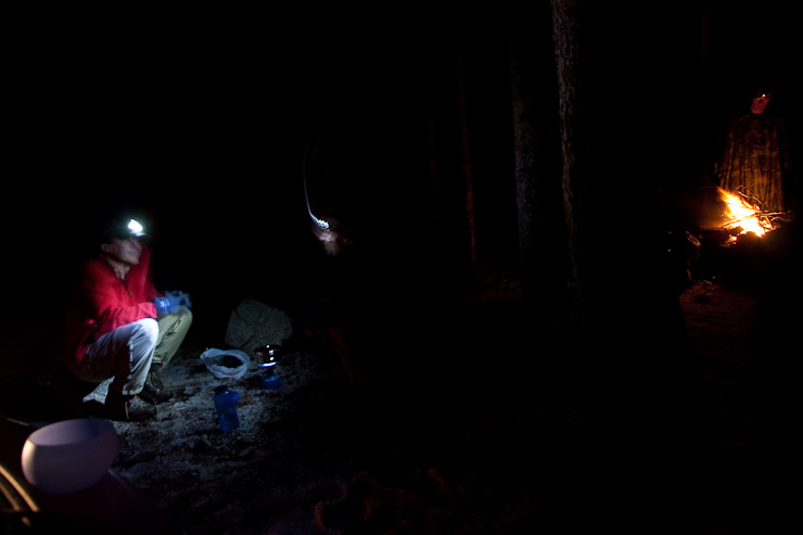
Tom and I cooked up some hot chocolate on the stove, while some other campers started a campfire. I slept in the trunk, just long enough to fit diagonally...
Stats-
Distance: 14.5 miles (including 1 mile extra from 4WD parking)
Elevation gain: 6050' (including extra 150' from 4WD parking)
All week Tom and I had been planning to hike Lindsey in the Sangres with a group of 3 or 4, but in the minutes leading up to our 3pm Friday departure, when it was realized that the rest of the group couldn't make the trip, Tom proposed a massive change in plan: Harvard to Columbia Traverse! The intention was to take take my VW Golf to save $ on gas, since it was just the 2 of us (instead of the guzzling Jeep), and visit the Sawatch Range where we assumed the trailhead would be 2WD accessible. I had spent all week researching Lindsey (loaded my GPS with the route too), but had read enough about Harvard/Columbia earlier in the summer to know that it was a beast of a hike (13.5 mi, 5900' gain for the Traverse) with some tricky route finding, but minimal exposure. I told Tom I'd be up for the challenge, and willing to drive, but first needed to print some info/maps to bring along. I quickly ran back into work, and printed a couple of TRs from 14ers.com, and copied some Roach pages with a map. We planned to use Tom's iphone on the drive down to research more info.
Shortly into the drive, we checked the weather for Harvard/Columbia, and found the forecast to be almost as good as Lindsey's (20-30% chance of afternoon storms). Then we read that the trailhead for North Cottenwood is "rough 2WD" with "high clearance" recommended (which is not mentioned by Roach). Doh! Upon further research on 14ers.com, someone had just posted that the major washout area ("crux") in the road had been repaired yesterday. What luck! Much thanks to the prompt updates on 14ers.com! We also knew of one guy who drove his Saturn Coupe all the way to the trailhead. So we decided to give it a try, and figure out another option if the road proved impassable.
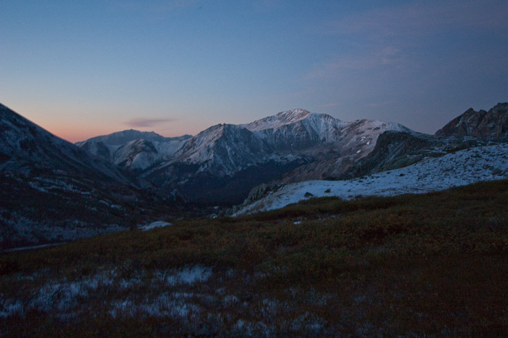
As we reached Leadville ~3hrs later, we were surprised at the heavy dark clouds mounted over the mountains. Tom was optimistic, looking at the blue sky back to the east, but we were headed to the core of the billowing darkness. We saw some lightening as we neared Buena Vista, and were perplexed by the weather. We stopped at a hotel in town to borrow some wi-fi in the parking lot and reconfirmed the favorable weather forecast. A webcam from near Lindsey showed clear skies, and we were feeling bad about our decision, but we decided to give it a go, and see what tomorrow would bring. There would surely be a ton of new snow, and the traverse would likely be ruled out.
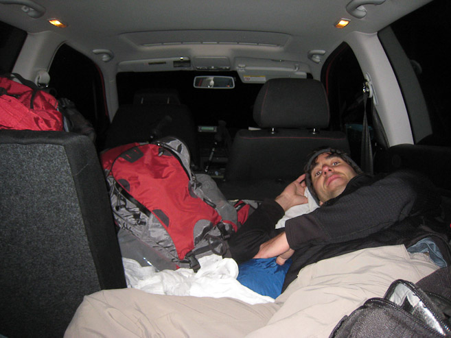
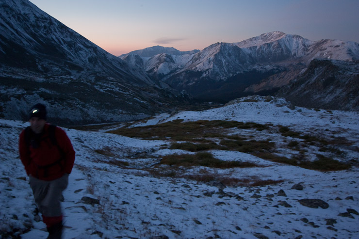
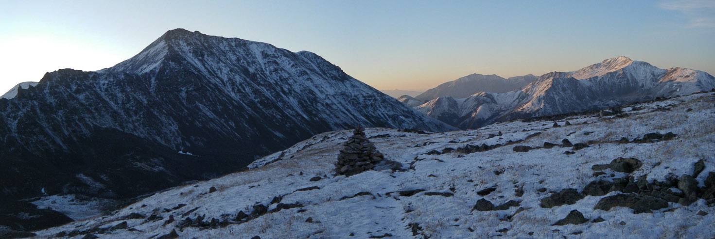
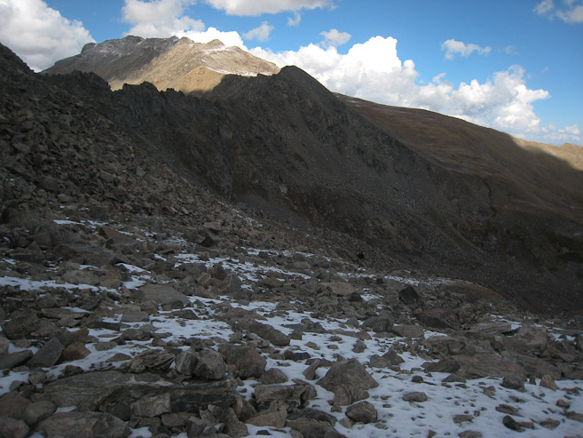
The 8.5 mile drive up to North Cottonwood trailhead in the darkness was slow, but manageable in my VW Golf. It was the equivalent of a 4x4 road for my car, but navigatable. I had to park .5 miles before the trailhead to avoid a "choppy" (for passenger car) section, where another truck had parked with some campers. There was an inch of snow/hail on the ground, and I decided to sleep in the car, while Tom bivvied outside. Fortunately, the stars started appearing in the sky by the time we were ready for bed, and it looked like we'd have decent weather in the morning. We planned to get up at 3:40am to start hiking by 4am.
Tom and I cooked up some hot chocolate on the stove, while some other campers started a campfire. I slept in the trunk, just long enough to fit diagonally...
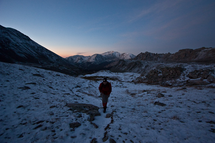
I day dreamed, and dozed from time to time, and tried unsuccessfully to avoid a late night bathroom break (but had to crawl out the front door nonetheless). Eventually I heard a knock on the window, and was a bit surprised it was already time to get up. I looked at my watch: 2:57am. Tom's iphone had drifted into Central Time for some reason (and not for the first time in the mountains), so we were up an hour earlier. I felt like it might be too early to start, since we'd need the (late rising) sun to melt snow/ice on the ridge before we got there. But Tom had already packed up his bivvy, so I also got ready. After getting our stuff prepped (and packing up the car ahead of time, to stall our start), we began hiking up the remainder of the road at 3:39am, under star filled skies...
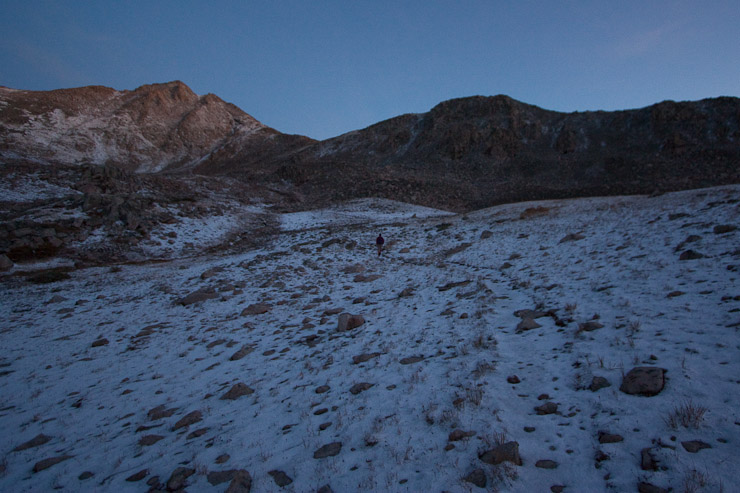
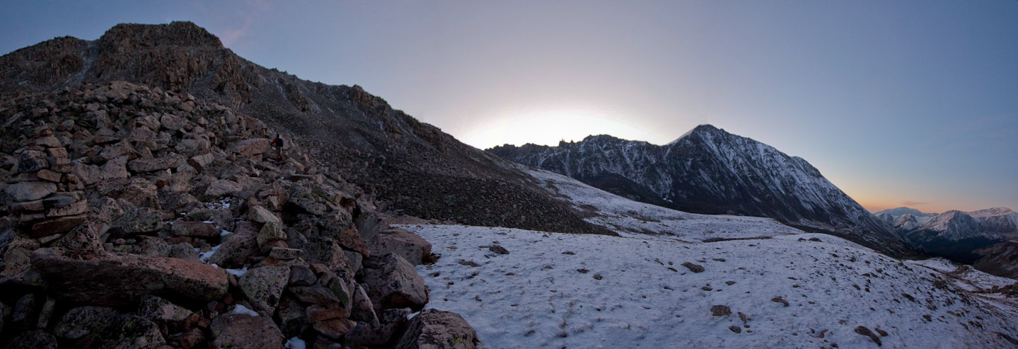
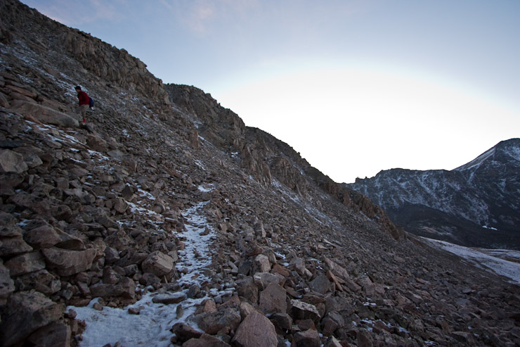
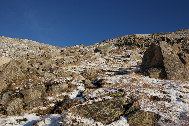
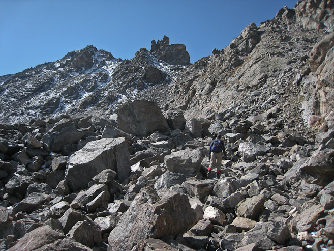
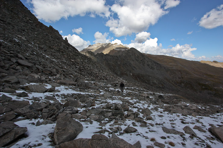
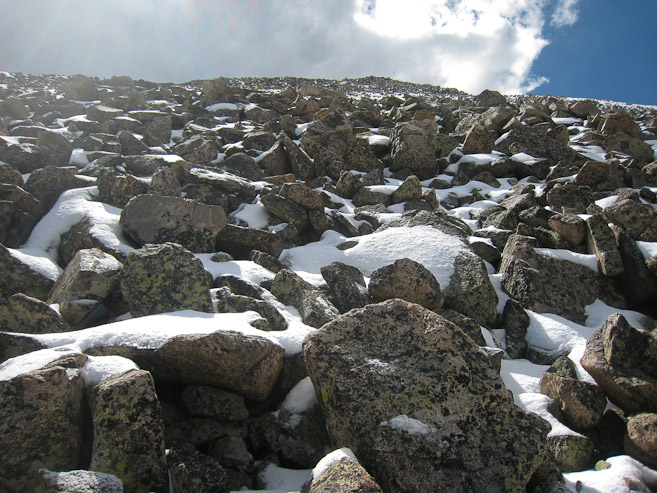
We quickly reached the main TH, and followed the well marked and wide trail through the forest. It was very easy to hike with just a headlamp, and we saw clumps of snow/hail on the sides of the trail. I kept a moderate pace, trying not to sweat, and risk getting very cold later in the morning. No telling how windy, snowy, and icy, the conditions would be 3000-4000' higher. I had downloaded the GPS route for Harvard and Columbia at the hotel parking lot, and checked our progress periodically. I was always surprised at how little we had covered after each of the first couple hours. The trail to Harvard is VERY long. There were several small stream crossings, and as we entered an open basin, we found icy patches on the trail. One stream crossing had icy topped rocks, and I was glad I had my poles handy for balance.
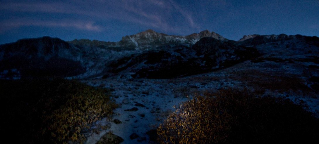
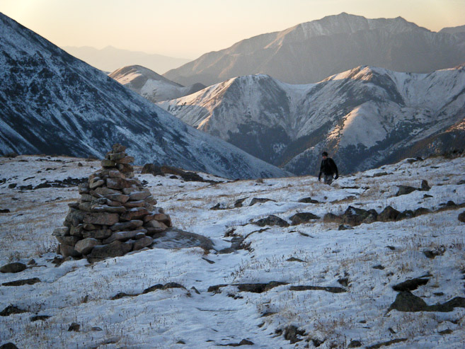
With sunrise not until 6:55am, we didn't get any pre-dawn light until 6am. By 6:20 we could drop our headlamps, and admire the views of Yale behind us.
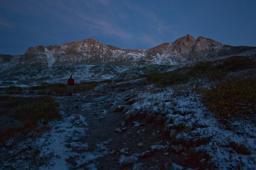
A look up towards Harvard, at 6:20am. Fortunately the wind was calm, making for a pleasant hike...
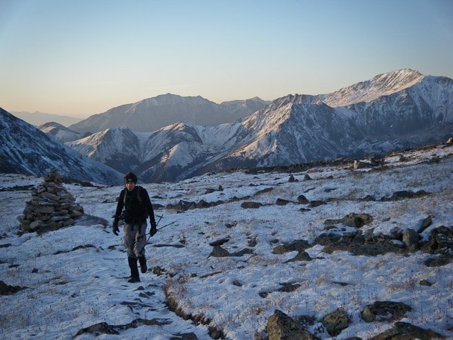
Tom's flashes on his headlamp for this 6:30am pic. Harvard is up beyond the peak on the right...
A look back at Yale, which Tom and I climbed in August. All the new snow from last night's storm looked beautiful on the peaks...
The snow covered trail was easy to walk on. We hadn't encountered any icy sections since clearing the forest, fortunately...
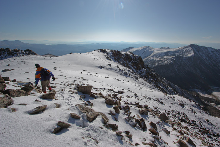
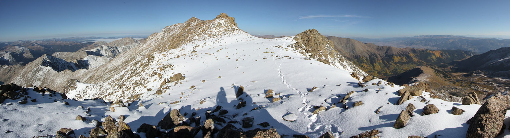
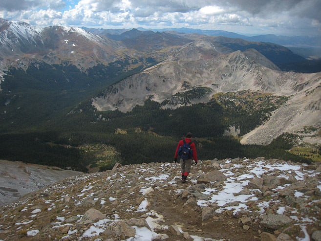
The long trail to Harvard was extremely gentle so far. Tom follows the trail through rocks, while Columbia, at the far end of the Traverse sits off to on the ridge to the right...
There was no ice on the rocks, and the snow was extremely manageable, and I realized we would indeed have a shot at the traverse today. A look back at Yale catching some early rays of light...
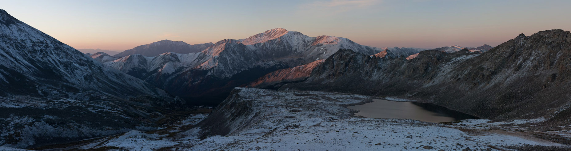
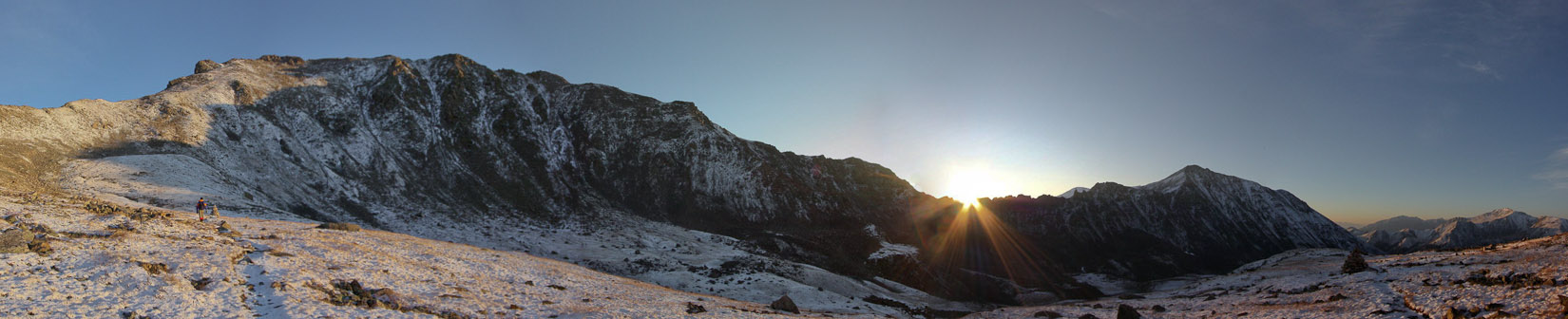
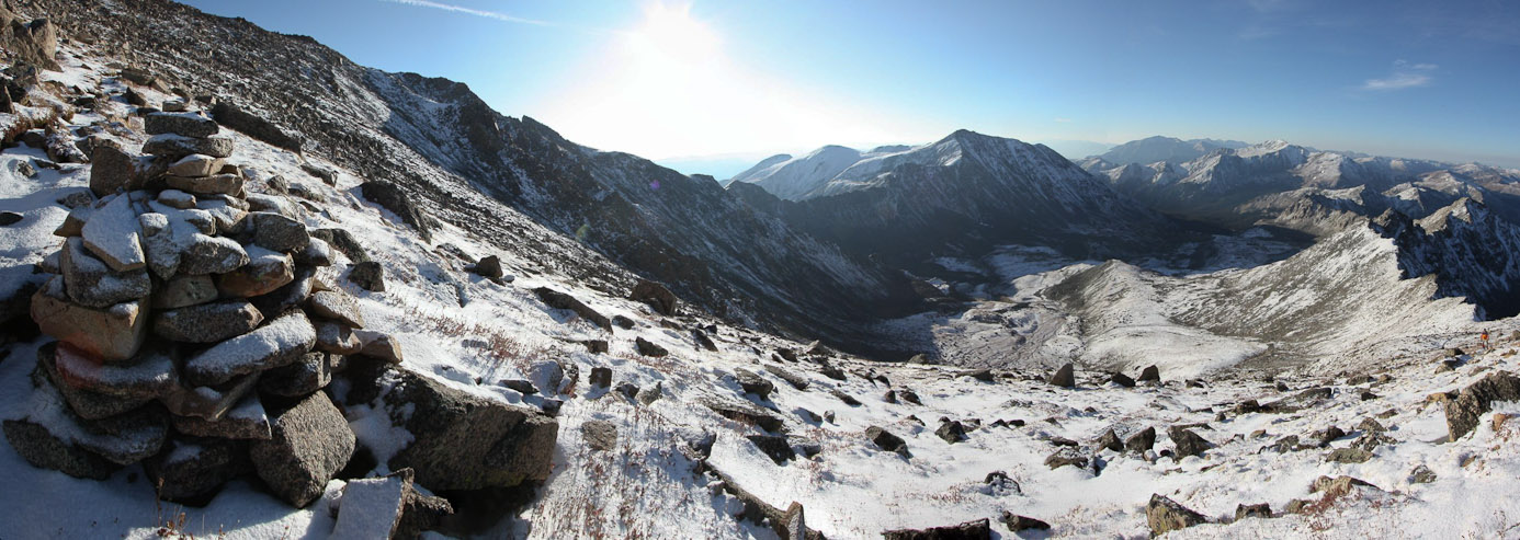
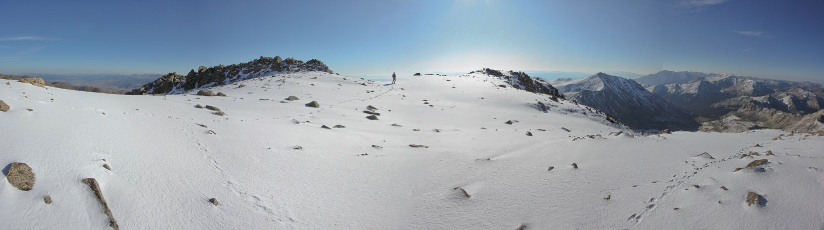
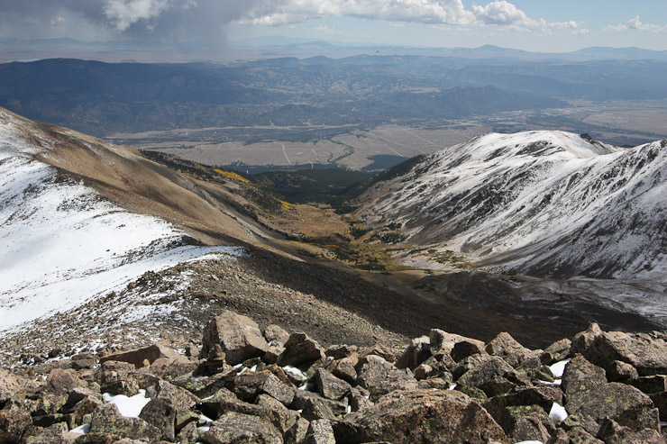
A 6:56am wide view of the valley we hiked in on, with a pinkish Yale beyond. The large and elevated Bear Lake sits on the right...
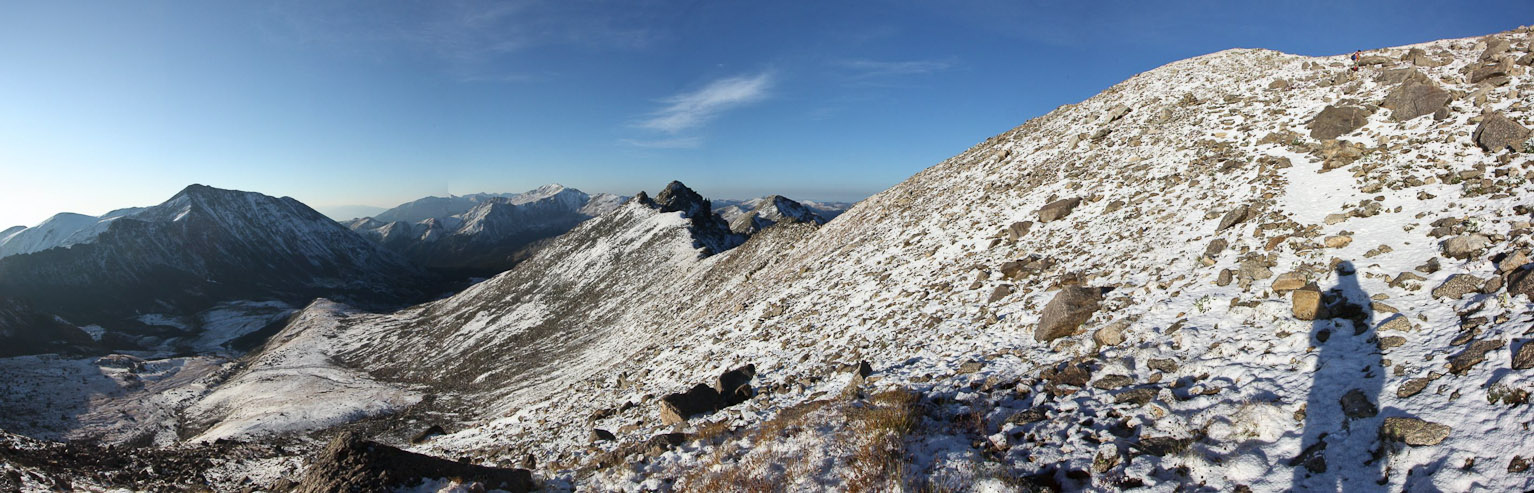
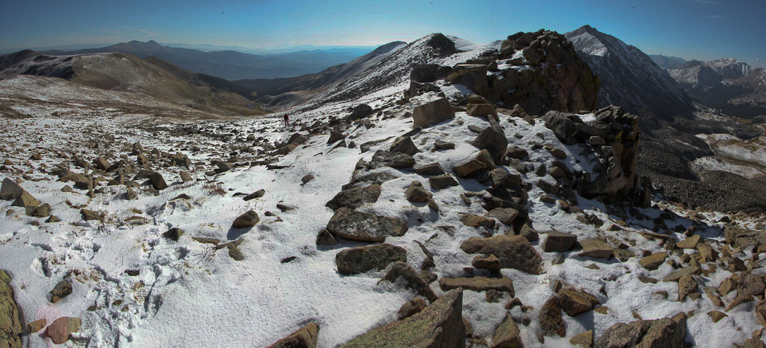
I stitched a couple of Tom's pics from to create this pano with Columbia on the left...
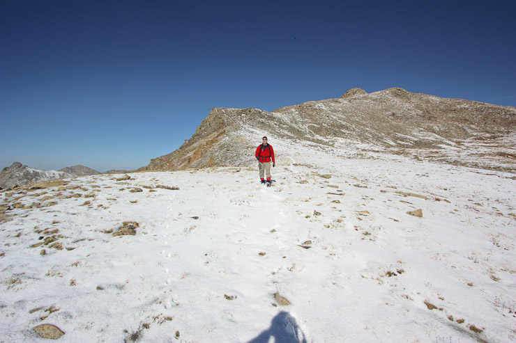
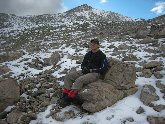
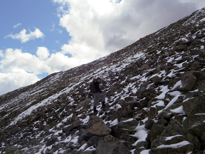
Tom also snapped these pics of me reaching the grassy field, above the 1st rock section. My poles were feeling very useful this morning (though I happen to not be using them in the pic)...
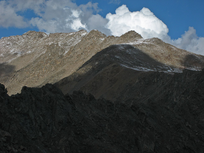
A close-up of Columbia, which we planned to reach later today. Tom continues across the field towards the final ridge leading to Harvard on the right...
At 7:10am, the sun had cleared Rabbit Ears Ridge, and turned the snow and rocks gold...
I was still impressed with how still the air was. A merino wool t-shirt and long sleeve was enough to keep me warm since 4:15am this morning...
It was a GREAT idea to bring our gaiters, as our lower legs were getting wet from the snow on our shoes brushing up against them. Our pants and socks would have been wet in a hurry without them...
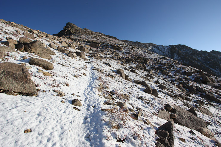
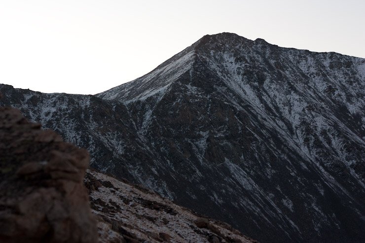
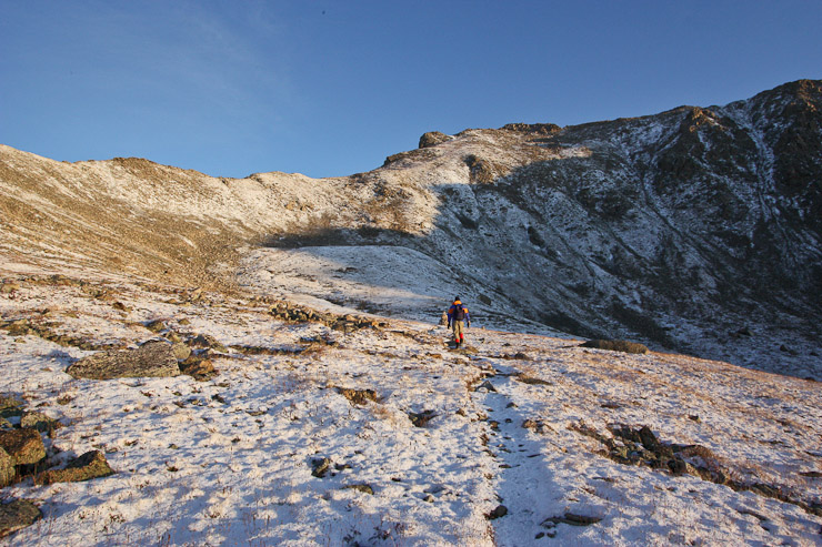
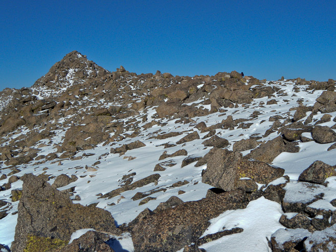
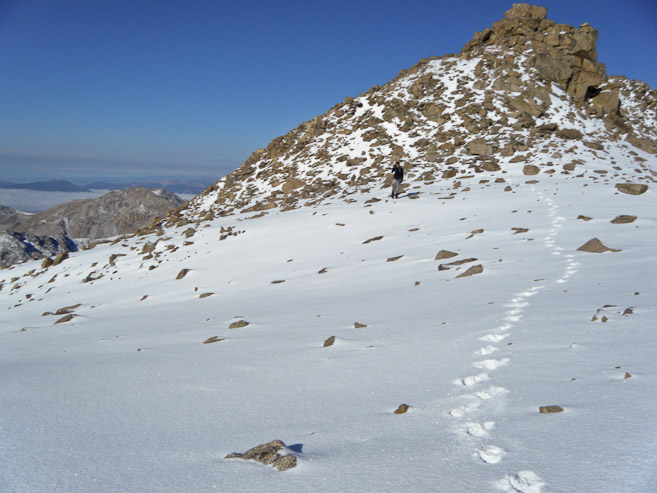
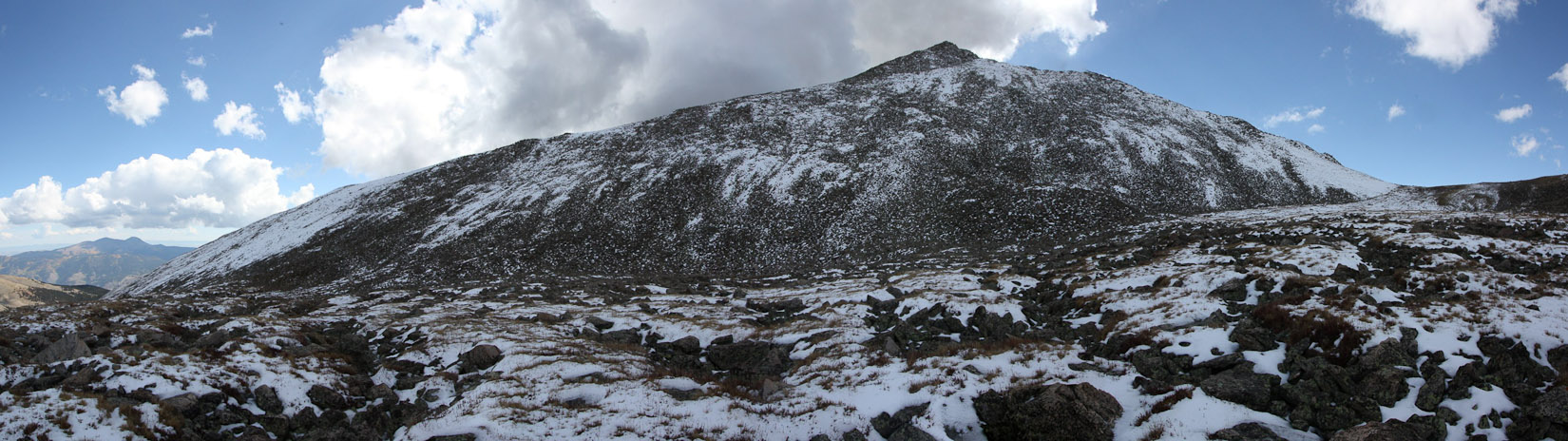
The climb up to the ridge was the steepest part of the trail so far, though still relatively gentle for a ridge ascent. The trail had well placed rocks for convenient steps. We could tell quite where Harvard's summit was, and thought that we must be looking at a false summit ahead...
Looking back down at the valley we hiked in on, with Columbia on the left, and Harvard behind me...
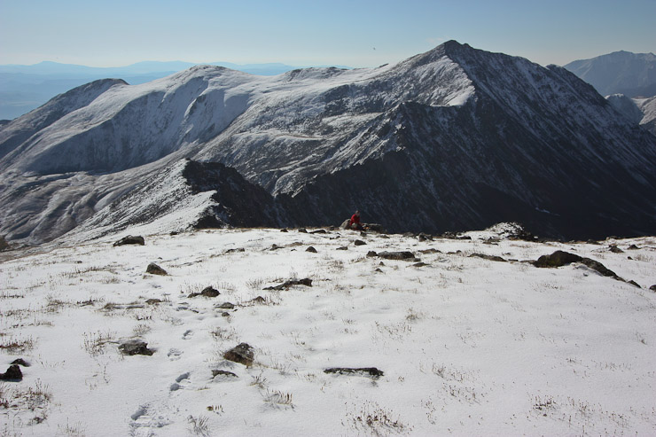
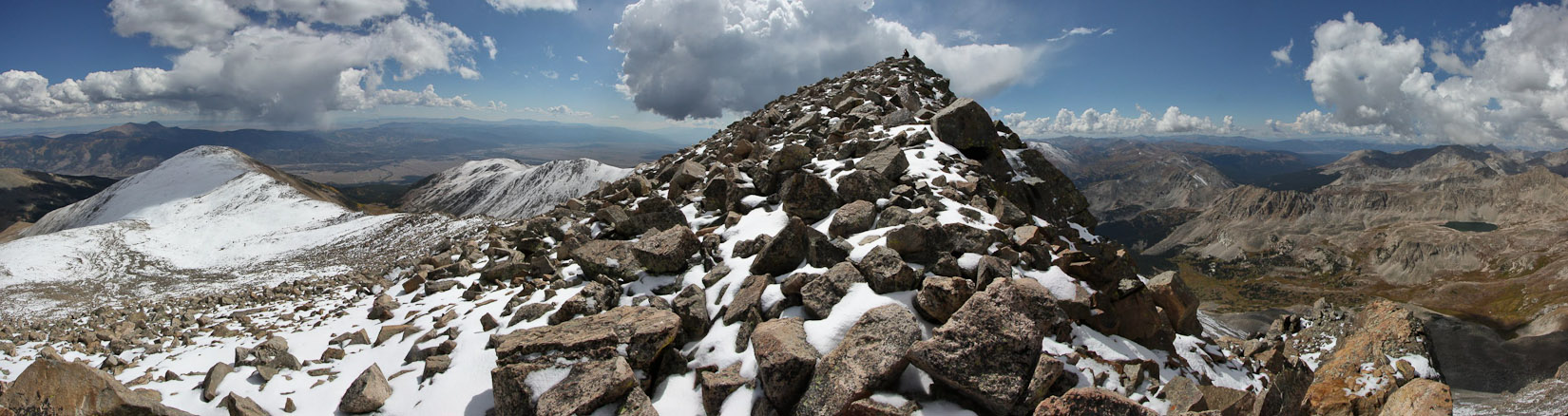
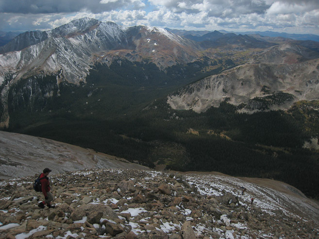
At 7:40am we reached the ridge ~13,700' and took a break. Harvard, being the 3rd largest peak in the state, was still 700' higher...
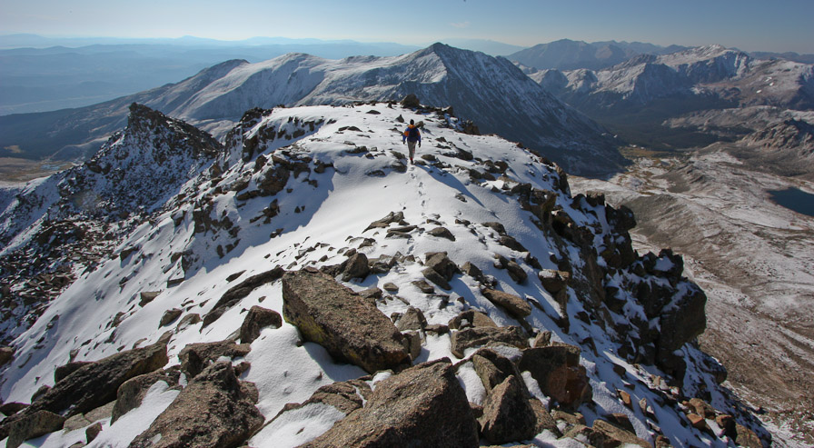
Once on the ridge, the smooth snow covered trail kept its moderate grade, perfect for using my new poles. It almost felt like I was cheating by using poles, and not making my legs to all the work. Tom is the orange speck on the right...
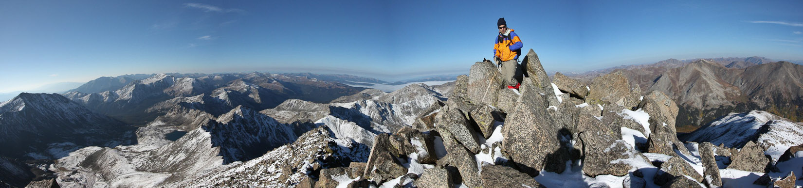
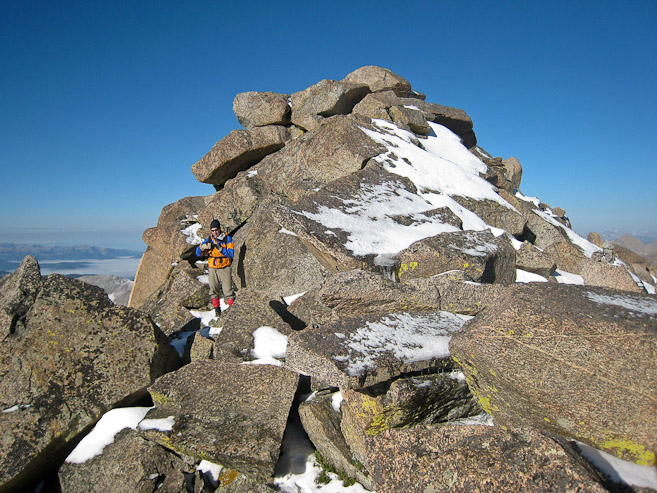
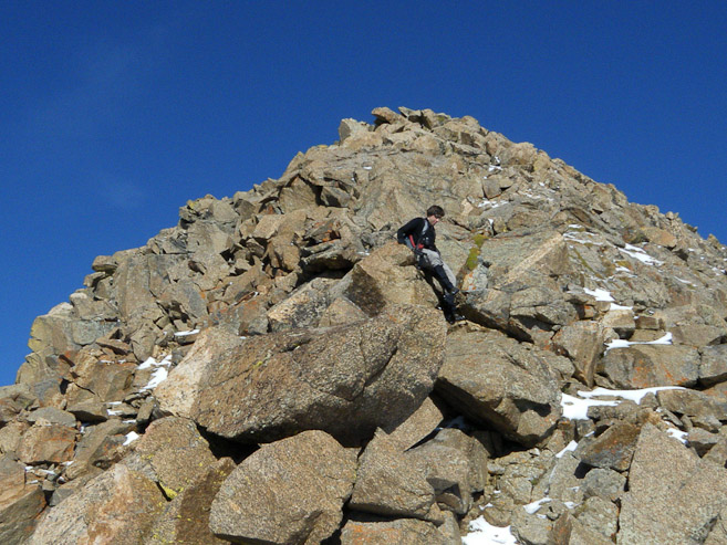
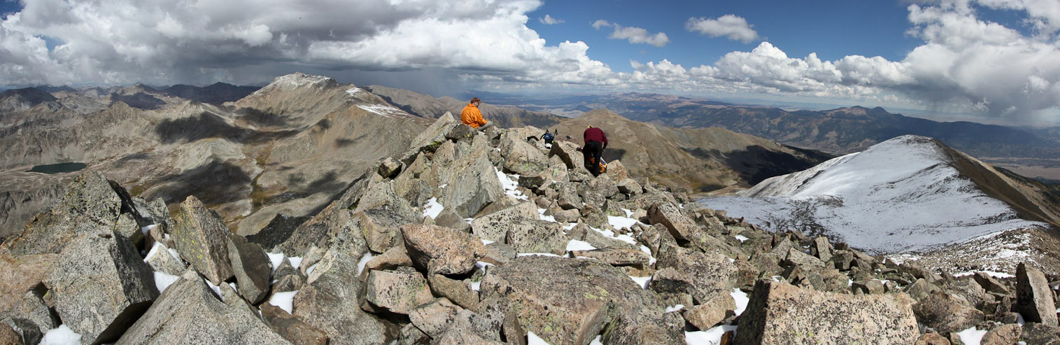
After 45 minutes on the ridge, we scrambled up section of rock to find ourselves at the summit. It took Tom awhile to be convinced we had actually reached the summit already, but with no other peaks higher nearby, we knew we were there...
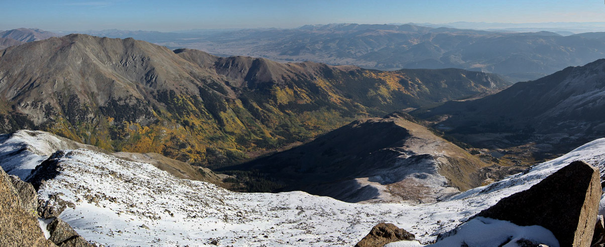
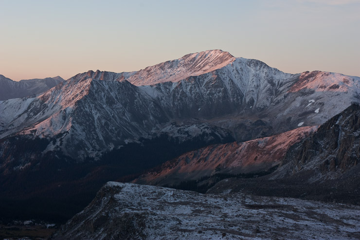
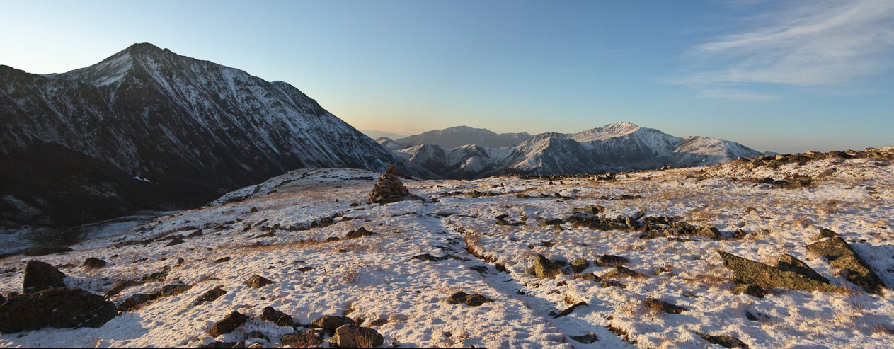
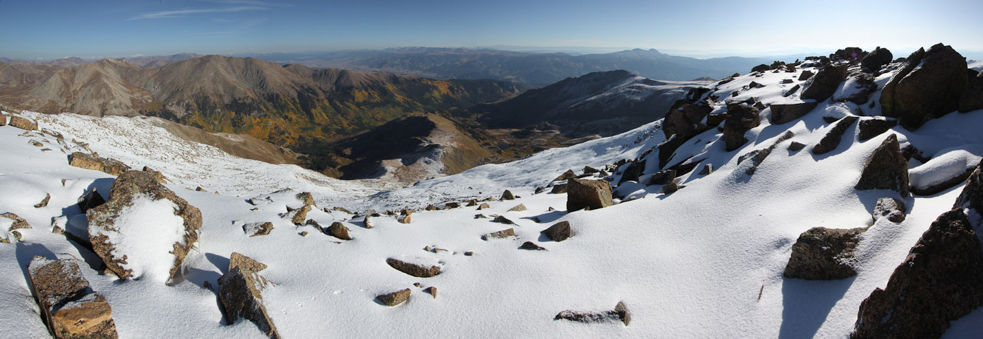
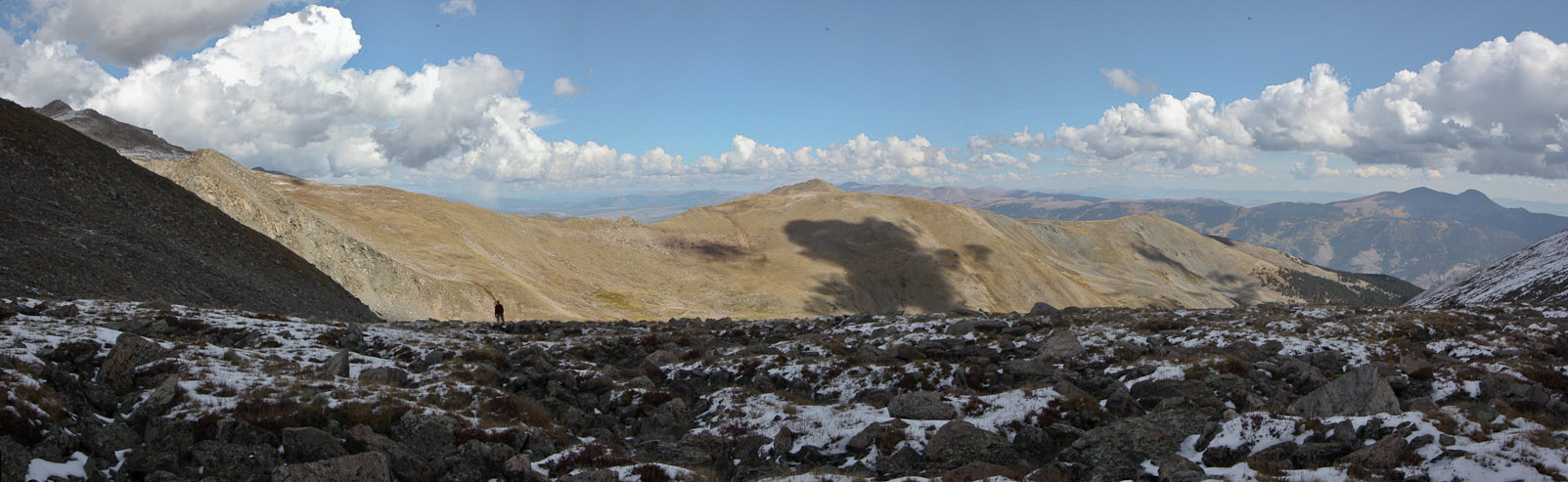
To the northeast, we could see some colorful aspen in the valley below a dry looking Oxford...
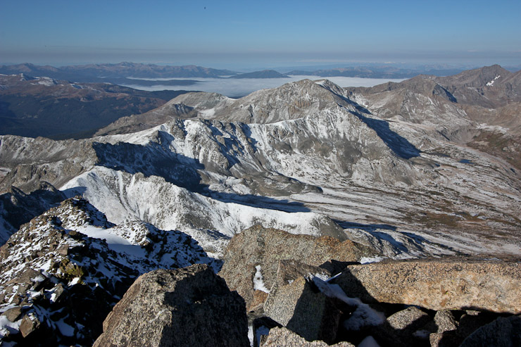
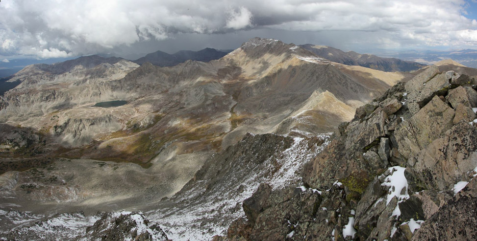
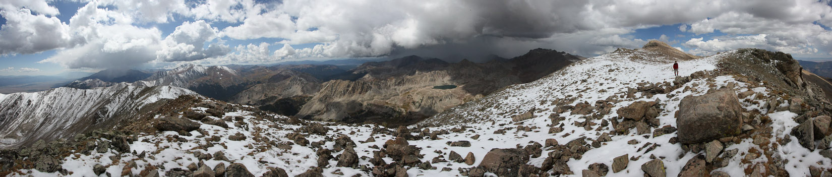
To the west we saw a sea of fog in a distant valley. The 2nd pic shows Columbia on the right. Given the favorable weather at 8:30am, we decided we had enough in us for the traverse to Columbia (on the right of the 2nd pic), which meant an additional 1400' of gain...(
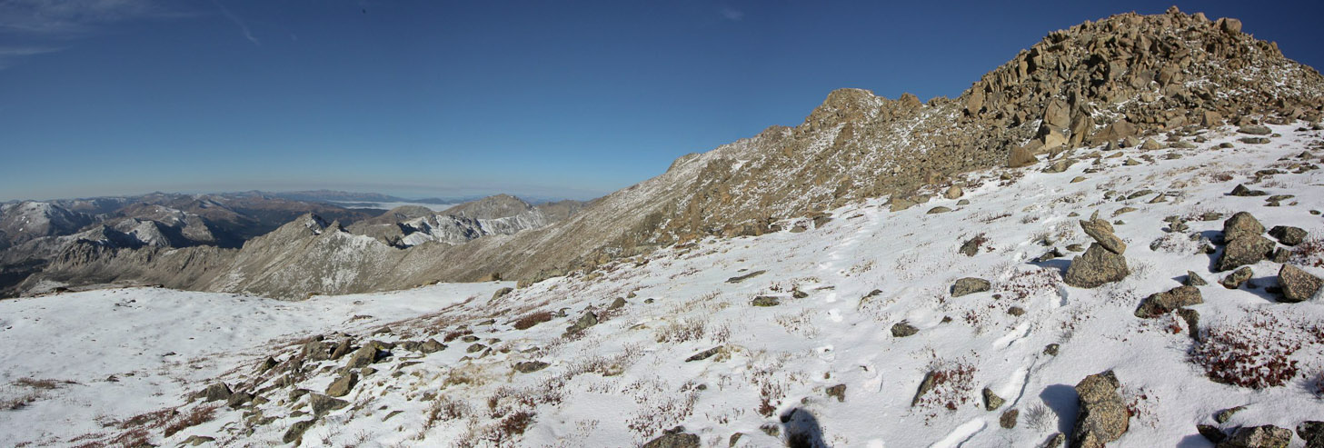
So after a 10 minute break on Harvard, we hiked east along the ridge. We hiked along the right side of a bump on the ridge, but would recommend taking the less exposed left side instead. The 3-4" of snow turned out to be a good thing, allowing us to heel step easily down the ridge in places...
The trip reports all said to stay on top of the ridge til you reach 14,000', and to resist cutting down earlier, so we stayed high and followed the broad ridge crest. The 2nd pic is from Tom, looking back towards Harvard (I'm a black spot towards the right)...
The blue sky, dark rocks, green pine, orange aspen, and white snow, was a unique early fall experience in the mountains...
The fresh snow made the broad ridge gorgeous. We knew were the first to Harvard this morning, and along the ridge, since the only other footprints we saw belonged to a few animals (looked like dog prints, so maybe a bighorn, or mountain lion?). The 2nd pic is from Tom looking back at me...
I love this pic of Tom in the field of snow on the ridge. You can see some animal prints on the right. I felt a bit of enchantment on this stretch of the ridge...
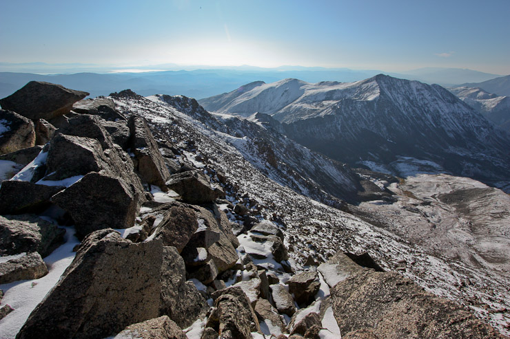
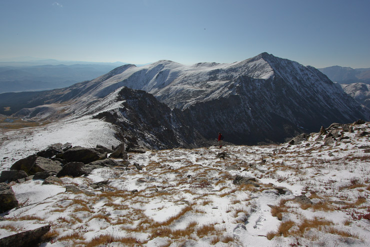
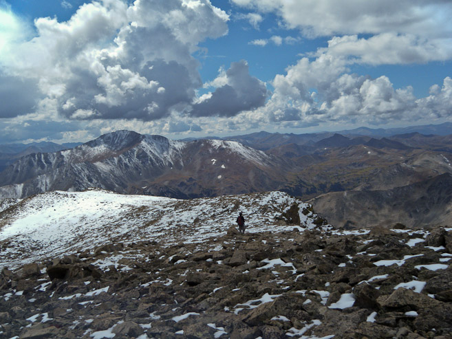
A look back, having crossed the field of snow. The summit of Harvard is the far bump on the ridge. Gotta appreciate the fall colors on the right, and the fog in the far valley on the left. We hiked in on the ridge leading down to the left...
A sweet pic of Tom on this majestic looking portion of the ridge, just before a downclimb...
Downclimbing the ridge was a blast; steep enough to be fun, but without any exposure. A look at Tom beginning the descent, with a "tidal wave"-like peak on the left, and Columbias off to the right. Tom gets a pic of me downclimbing the ridge...
We cut across the right side of the "tidal wave" peak towards the snowy flat section ahead, which marks the beginning of the descent into the valley. Tom takes a pic looking back up the ridge...
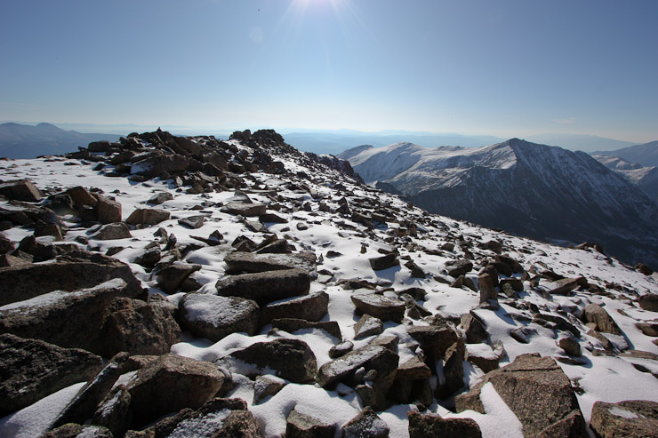
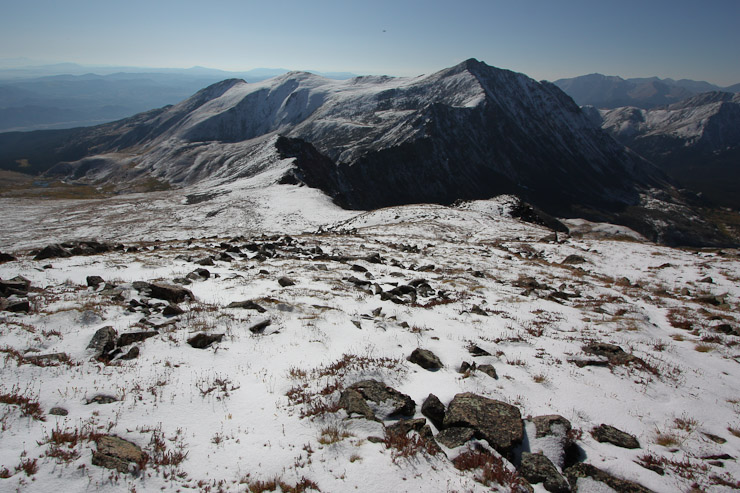
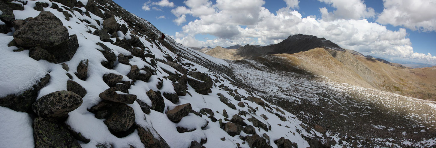
A wide view looking back at the ridge from Harvard, at ~13,950'...
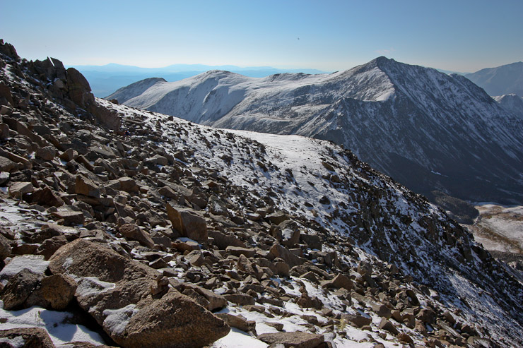
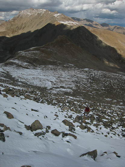
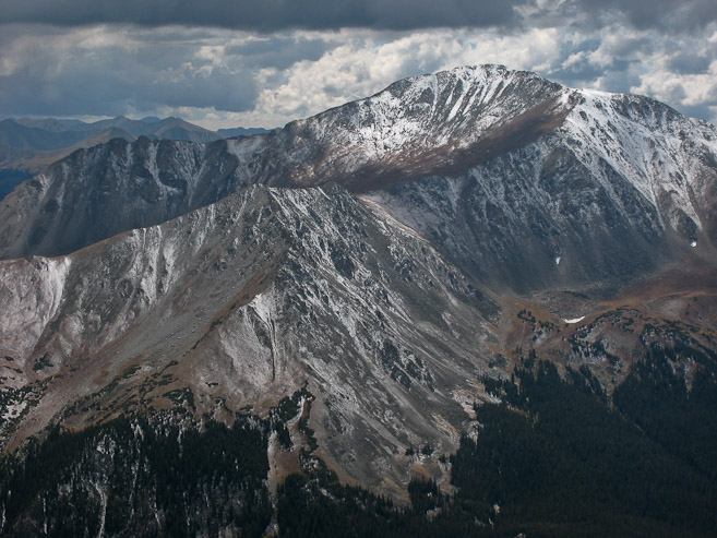
From here we could see the descent into the valley, and Rabbit Ears ridge leading to Columbia. The ridge is class 5.0-5.2, so we opted for the valley approach...
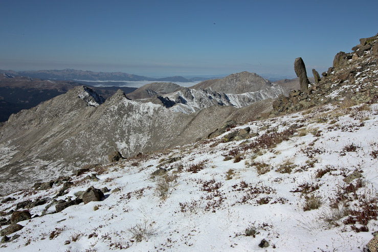
Tom took note of the "Easter Island" rock protruding from the ridge, as we followed a trail down along the ridge...
A look back up the gentle ridge...
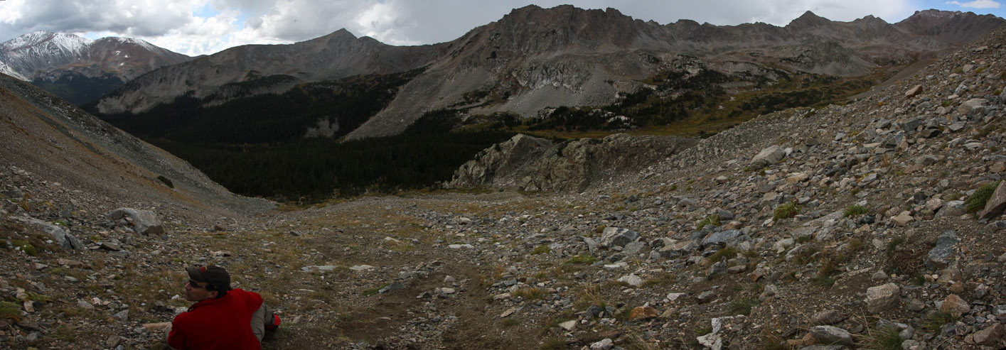
When the ridge reaches the rock field, it's time to descend the valley, preferably before reaching the rocks...
I backed away from the rocks, and descended the grassy slopes. Tom cut down across the rocks, looking for a short cut, but ended up making his way back to the grass...
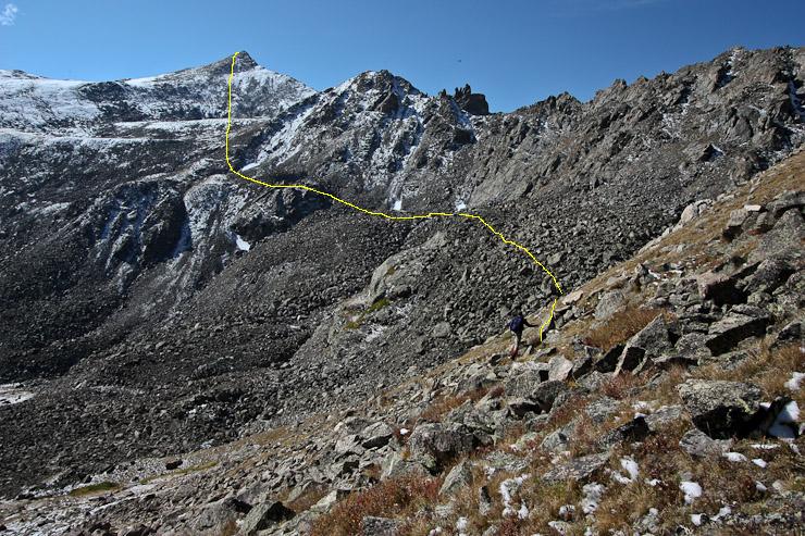
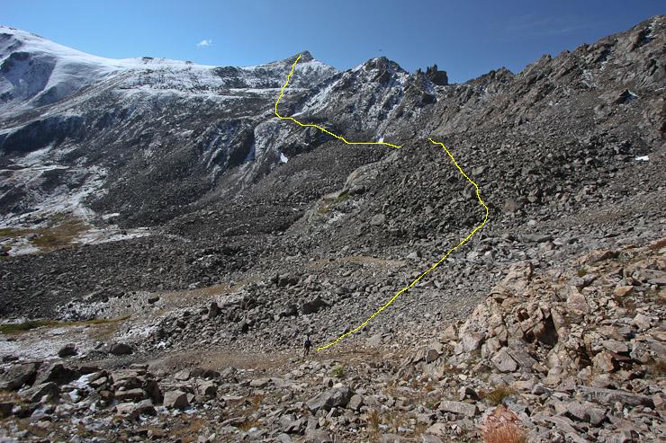
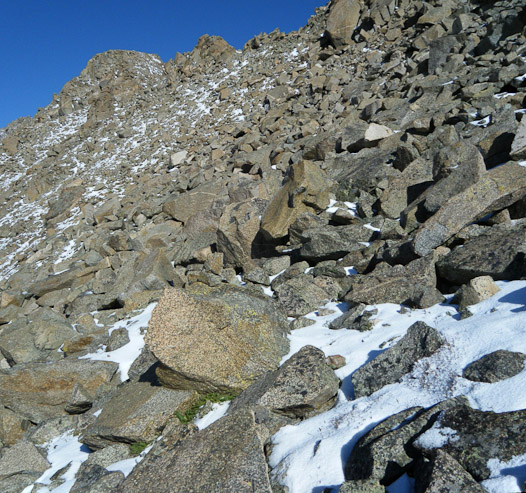
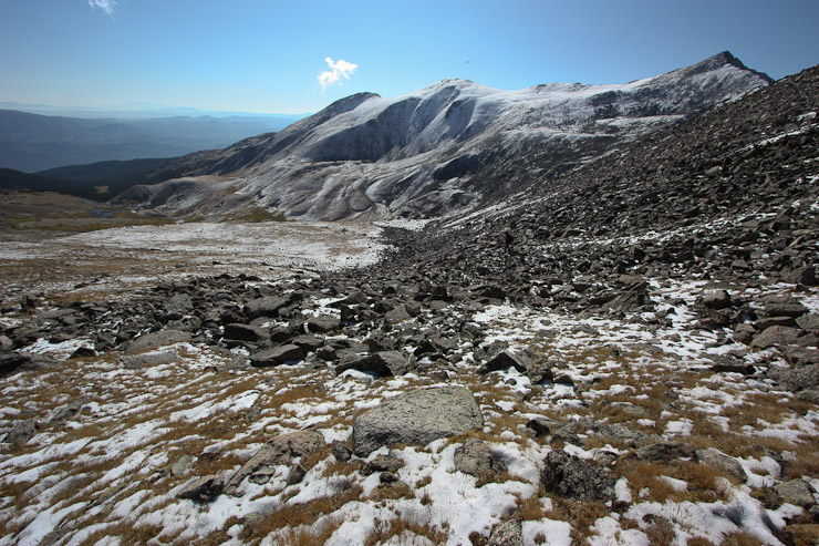
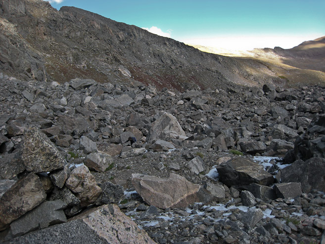
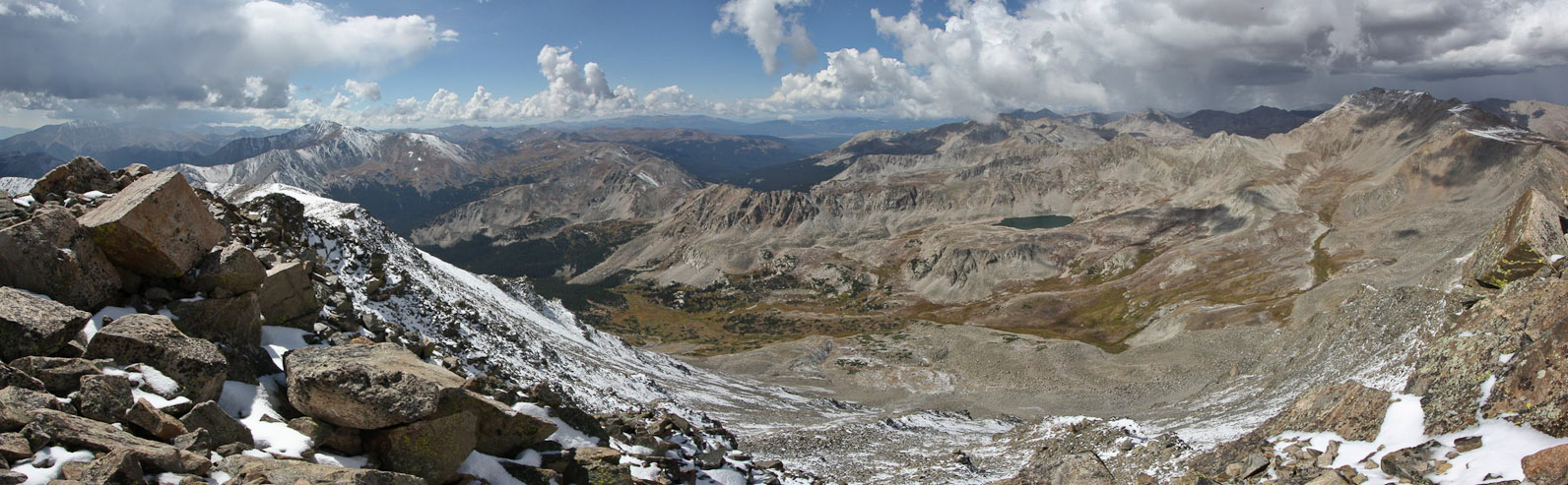
Once we descended to 12,800', the route finding was difficult. From these pics, we choose the route described by the yellow line, which proved fruitful, and eventually led to cairns. I had thought we might need to descend all the way down to the grass in the valley below, but if you follow this yellow route, you'll succeed without any difficulties...
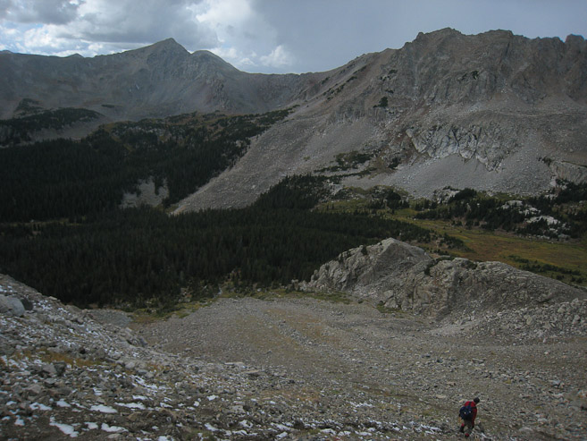
A cairns appears after traversing into the boulder field. Our progress had been slowed up by questionable route finding, and some clouds were starting to appear. We had estimated 3.5 hrs from Harvard to Columbia, and were already 2 hrs in, with all 1400' gain still remaining (and more boulders to traverse before the climb)...
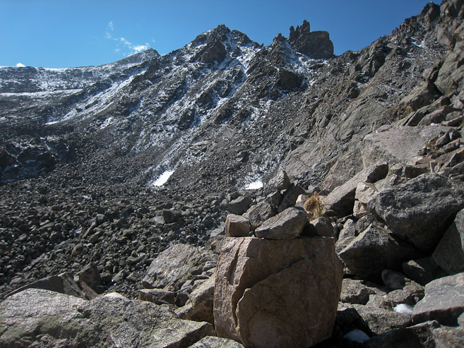
We scrambled across the rocks beneath the Rabbit Ears. We found some cairns in this area...
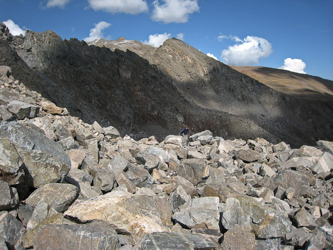
We slowly gained elevation as we followed the boulder field under the ridge. These pics are views back along the way...
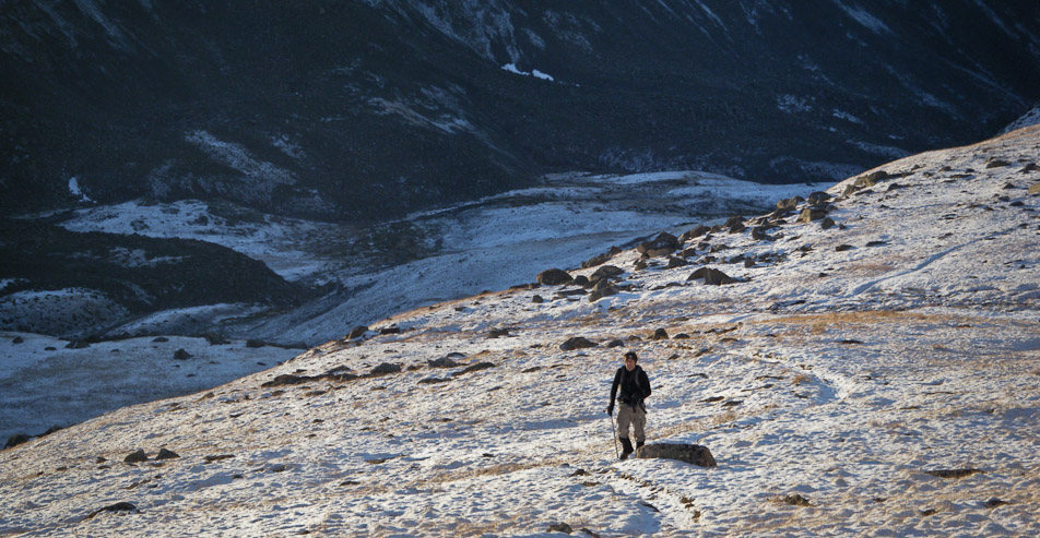
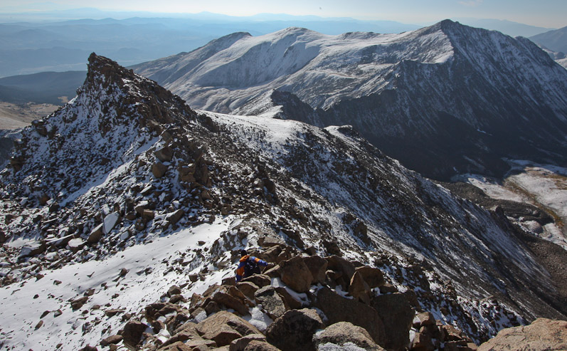
A look back at Harvard rising above the ridge, as Tom trudges on across the rocks...
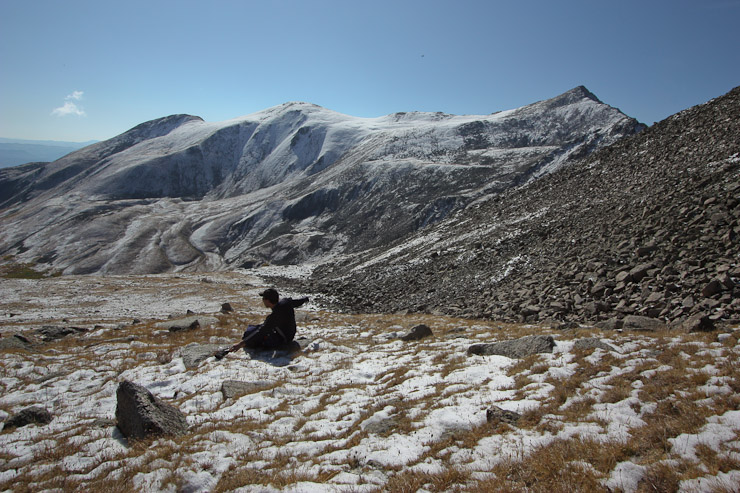
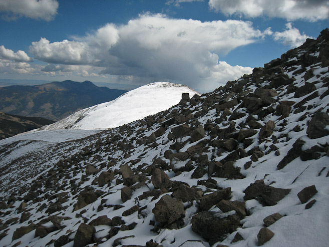
Tom found a recliner shaped rock to rest on, as the path to Columbia (with ~1100' to go) opens up in front of us. Also a close-up shot back at Harvard and the ridge we followed. Looks like the snow was melting quickly today...
We reached a flat section before the final ~800' climb of Columbia. It was 11:21am, and our goal of the summit by noon (3.5hrs from our 8:30am summit of Harvard) was still a possibility. The ridge to the right or left looked inviting, but I decided to aim straight for the top...
A look back at Tom reaching the flat area before the final ~800' climb...
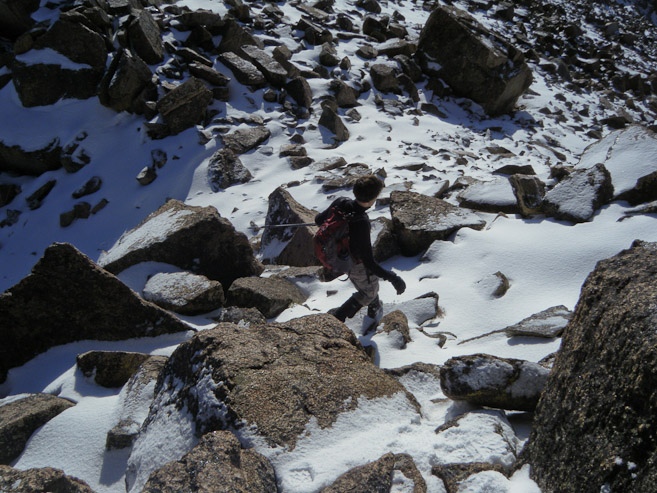
The snow was prevelant on the north facing slope. At first I tried to stick to the rocks, but then found that kick stepping up the snow was actually somewhat easier. Tom and Harvard in the pic...
Tom takes a pic of me on the final ascent, and a look up the slope. It had seemed like Columbia was so close, but the amount of gain left was misleading...
A look back and to the east showed that the clouds were gathering in force. It was more motivation to push hard for the peak, and get on our way down quicker...
I reached the ridge, just east of the summit at 11:58am, with possibly enough time to make the top by noon...
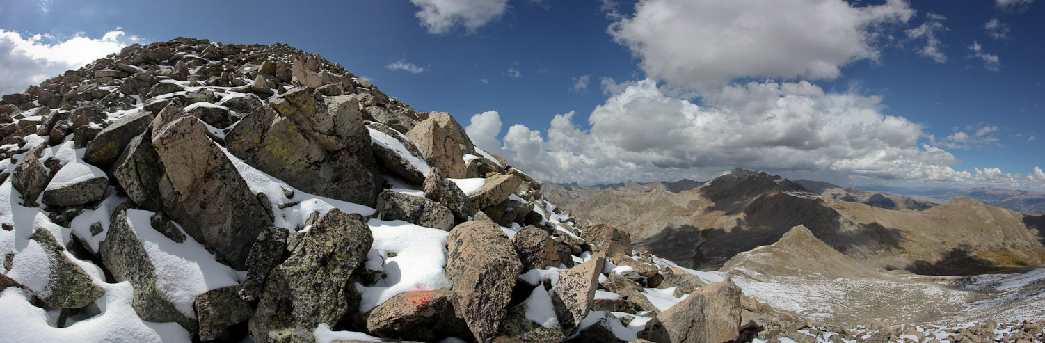
I moved quickly to scramble to the peak, and reached it at 12:01, but found it was a false summit. Fortunately, the true peak (pictured) was just ahead, where I saw some people resting on the top...
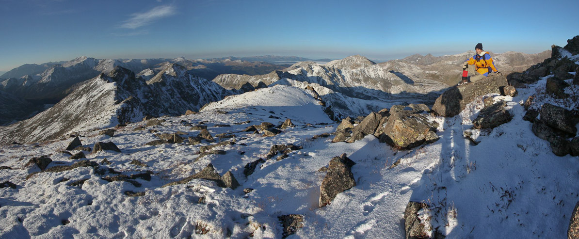
We met the first fellow hikers on our trek at the summit, and were fortunate that Columbia had a nice pocket of blue sky and sun above it. Dark clouds seemed to be heading towards Harvard in the left of the pic...
A look at the valley we hiked in on, with Yale on the left, and Harvard on the right (now in shadow)...
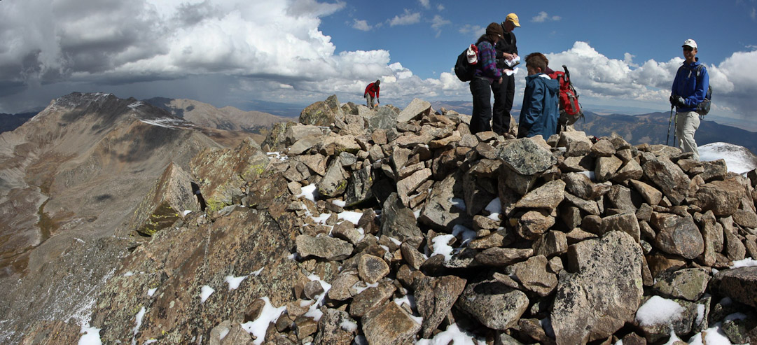
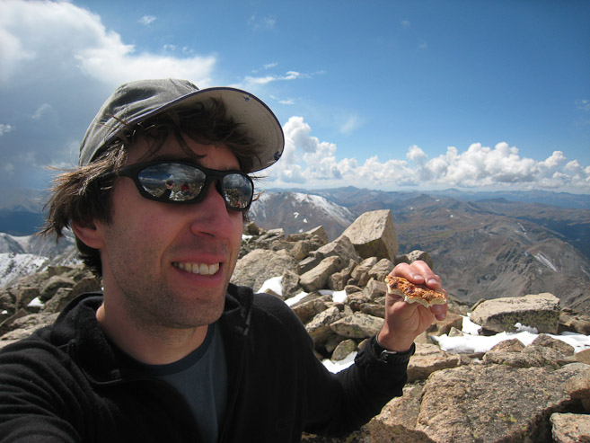
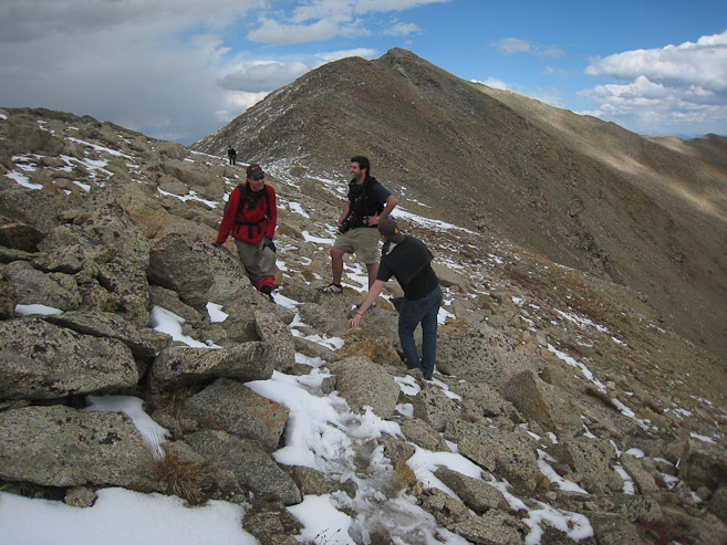
Tom reached the summit a few minutes after me, and we chatted with a group who had climbed 26 14ers this summer. Impressive!
A look to the east shows some colored aspen in the valley, with lots of snow on the north facing slopes...
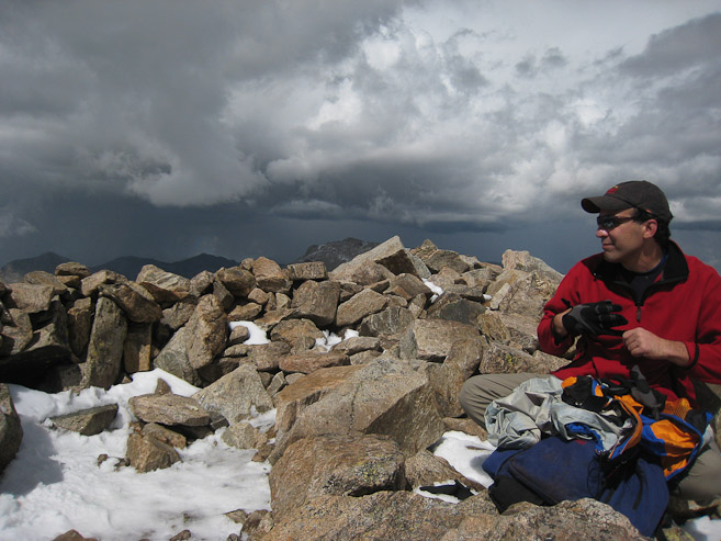
Despite the nasty looking weather on all sides, we took a break and ate some food at the top. We knew it was a steep "quick" descent down, and figured we'd be able to got off of the mountain in a hurry...
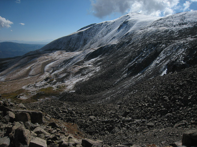
~12:25pm we started the descent down Columbia, with an eye on the slowly creeping darkness. Bear Lake can be seen below Harvard...
A 180 degree view from just below Columbia. Tom is on the right, with the summit in the distance. A grey cloud sits over Princeton off to the left...
Tom takes a pic of me descending down Columbia's ridge. We met people still on their way up, and hoped the weather wouldn't catch them...
A close-up of Yale in the first pic. We recognized our route up the east ridge from a month ago. After 15-20 minutes on the ridge, we made the turn to descend down into the valley...
The trail weaved steeply down the gravelly/muddy/snowy path, and Tom remarked that it was more like skiing than hiking down the loose path. We made great speed, jogging stretches. The wet conditions helped soften the ground, allowing us to heel kick down. About half way down, we hard a boom of thunder coming from Harvard's direction...
We were flying down the mountain, but the bottom still stretched down a long ways. Eventually we could see the edge of the forest below. We jogged stretches, and took small breaks. Fortunately, the weather was still holding, though the grey clouds seemed to be spreading out in front of us...
A look back at Tom, and the long slope down from Columbia. We were glad we didn't have to climb up this loose steep slope today. The long gentle trail up Harvard was much more pleasant. We were reminded of the steep 2400' descent down Snowmass's west face today. Finally, an hour after leaving the summit, we we reached the forest, after 2500' of loss (according to my watch)...
The forset was pretty and very green. We missed it all in the dark this morning. We retraced our path, and remembered the several stream crossings along the way. A view of Yale through an opening in the forest...
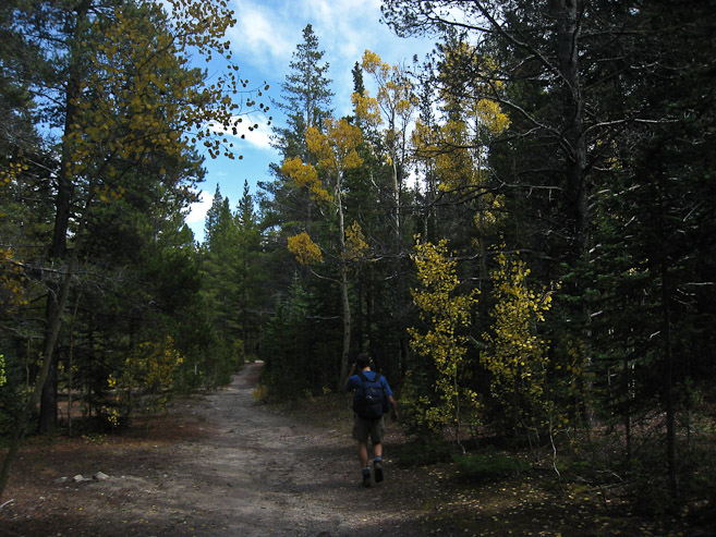
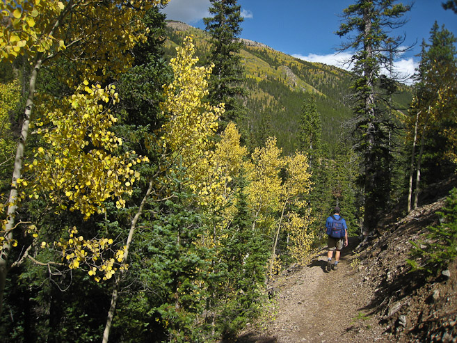
I had noticed aspen leaves on the ground near the beginning of the trail this morning, and awaited seeing the colors on the way back. After a LONG but speedy hike back, we reached the aspens...
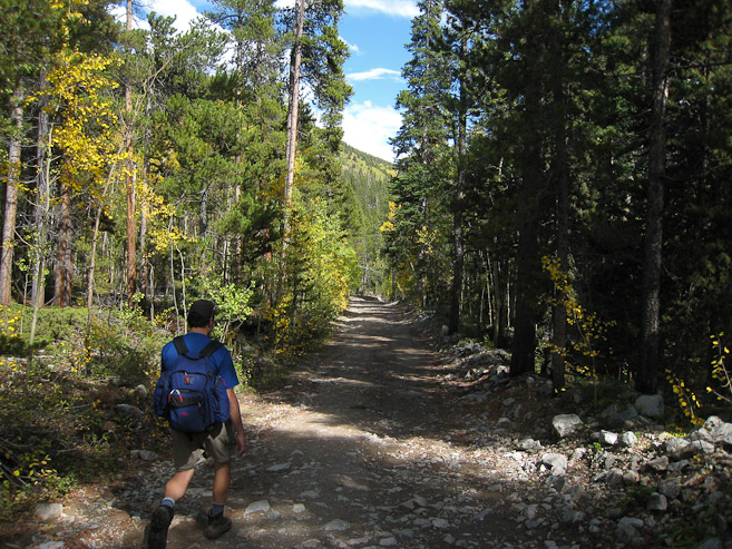

We arrived at the trailhead ~2:40pm, 11 hours after we set out this morning, but still had the .5 mile hike down the aspen lined road back to camp. Shortly we arrived, and headed back down the "rough 2WD" road, slowly, and with success. A view of some towering aspen along the drive out...
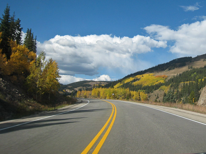
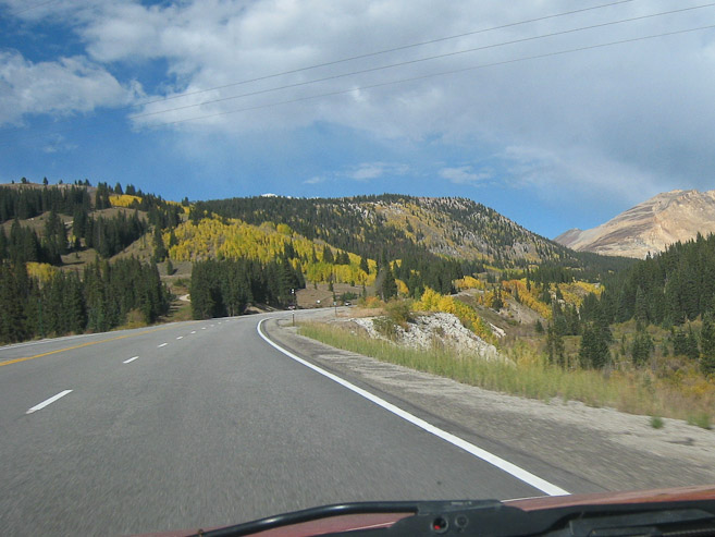
During the drive back, we enjoyed the view of the yellow aspen, still pre-peak, but pretty none-the-less...
We realized how fortunate we were with the great weather over our heads today, given our long day in the mountains. Turns out Tom's 1hr early alarm was beneficial to helping us get the Traverse in while the weather was good. These two 14ers (9th and 10th of the season) were a great way to cap a successful season.
For anyone attempting this Traverse, the trickyness is in the route finding at the 12,800' point across the ridge. Look for the pics at this point with the yellow routes in my report, for suggestions on a viable route.