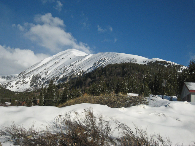
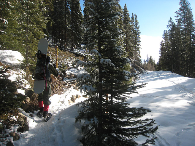
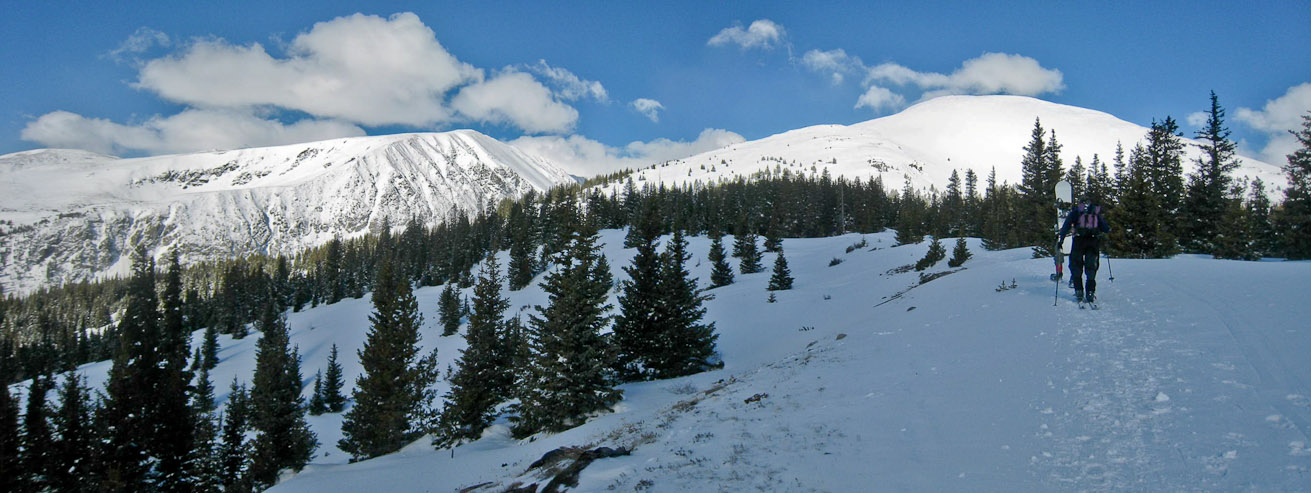
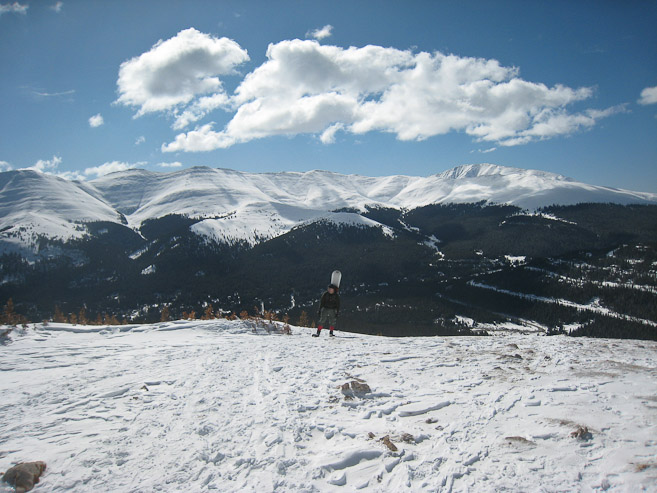
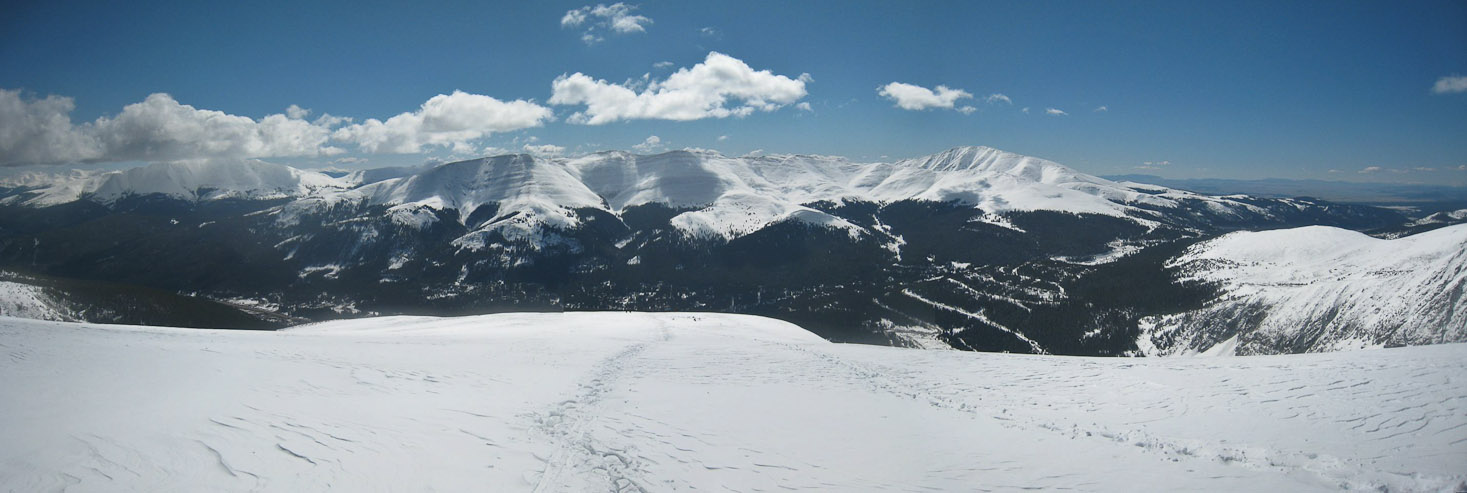
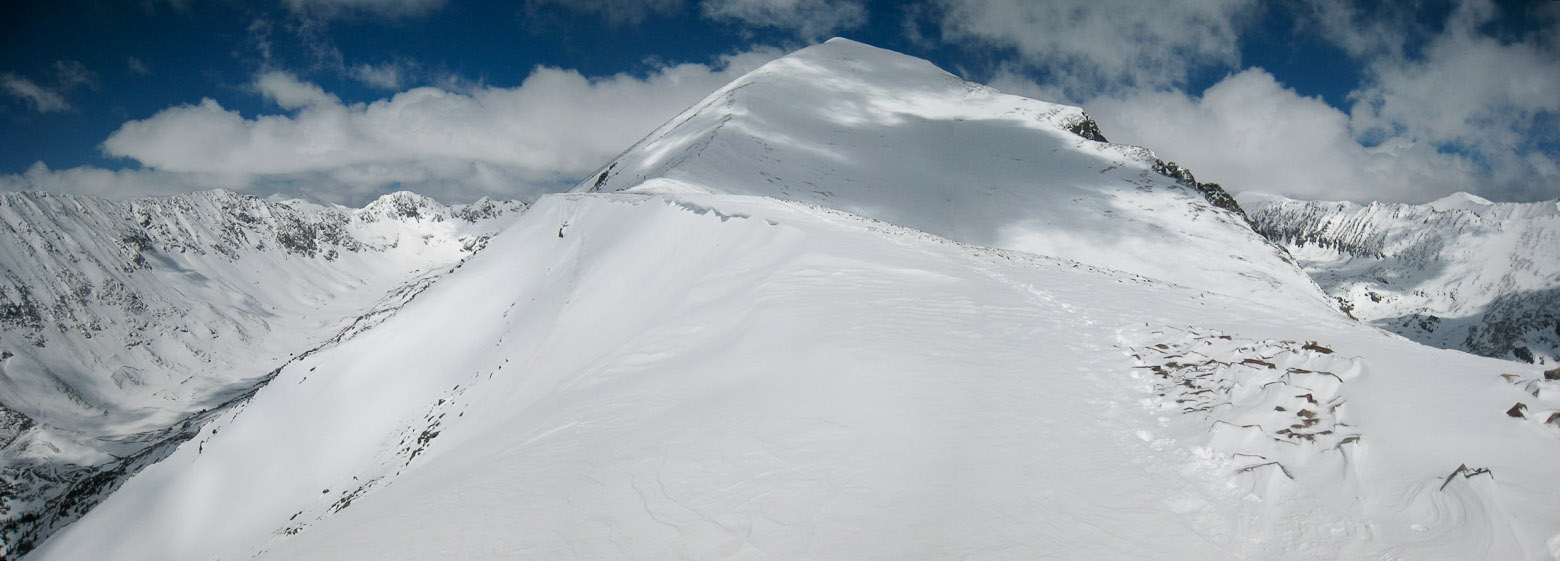
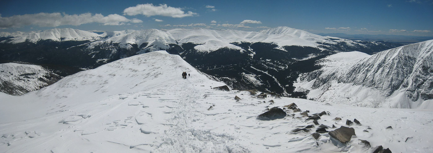
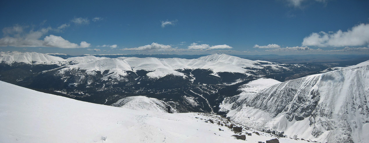
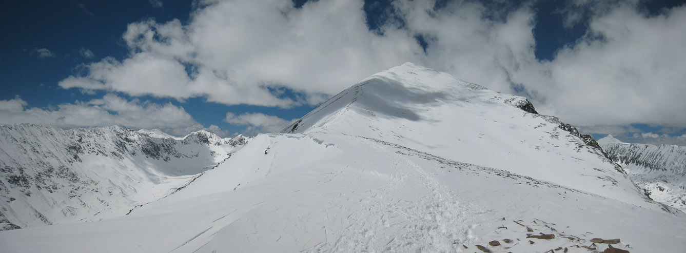
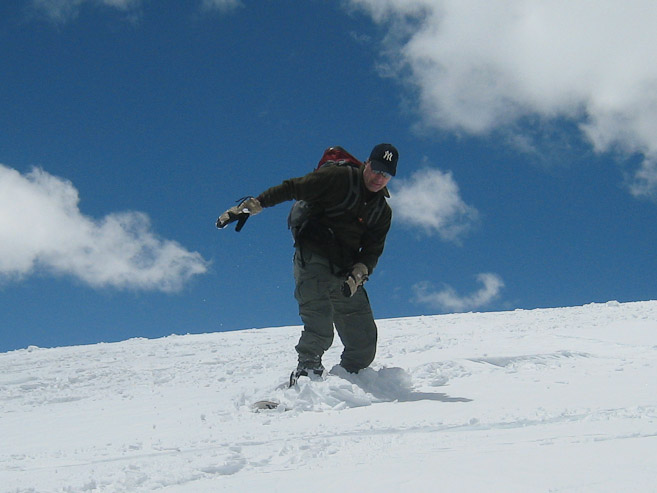
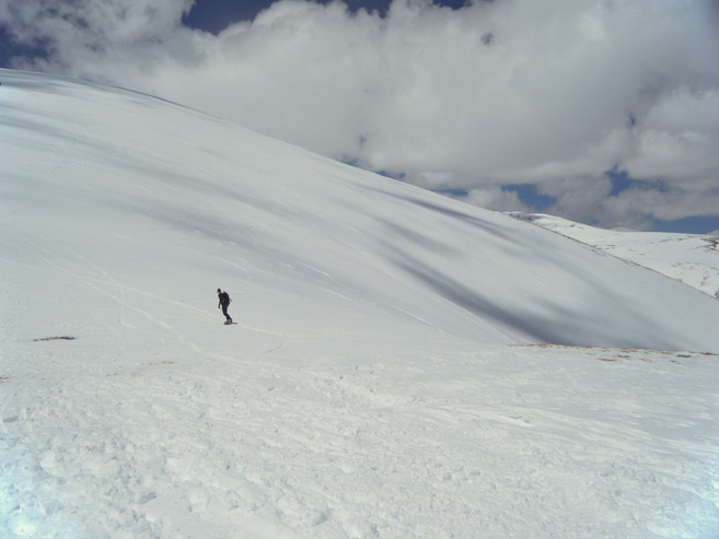
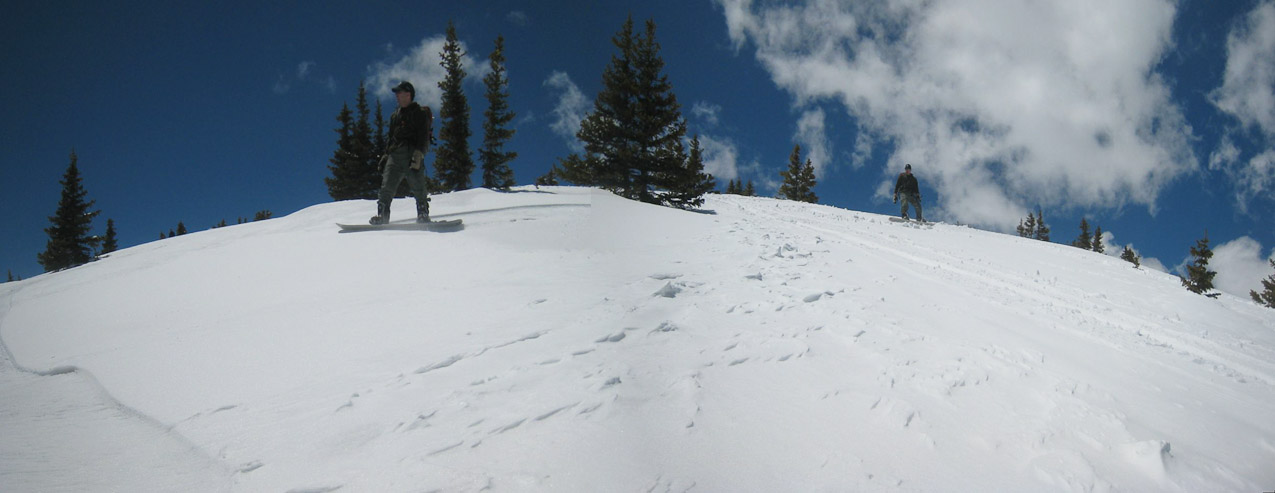
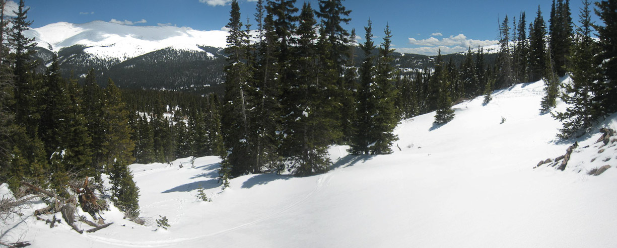
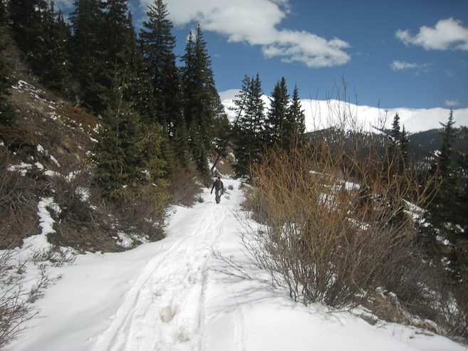
A look at Quandary from the road, just prior to the parking area. Tom and I wore snowshoes as we started the hike up the dirt road leading to the official Quandary trailhead...
Distance: ~6.5 miles
Elevation gain: 3375'
Snowboard descent: ~1900'
Quandary is probably the most hiked 14er in the winter (and popular in the summer), thanks to it's accessible trailhead near Breckenridge, and gently sloped (avalanche safe) east ridge. Given the snow-stormy weather over the past weeks, Quandary was still in prime winter shape this May weekend. Fortunately a break in the weather gave Chris, Tom, and I a chance to ski/snowboard Quandary. This would be my first back-country snowboarding experience (Tom's too).
I arrived at work Sunday morning ~4:55am, our carpool locale, and found Chris waiting in his truck. Once out of the car, a security guard appeared, asking about our "doings" and if we were employees. Guess they monitor the parking lot 24/7. Tom soon arrived, and we started the drive down to Breckenridge in Chris's truck (thanks for driving Chris!). A smooth drive later, we were at the trailhead ~7:20am, readying our gear under mostly blue skies.
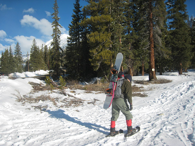
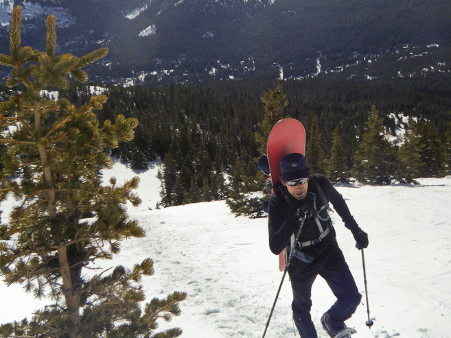
Tom and I would be carrying snowboards, while Chris would skin up on his telemark skis. I had spent some time the past couple days figuring out how best to attatch my board and boots to my pack. Fortunately, my old daypack had straps to attatch the board, and I used a bungee cord at the top of the pack to minimize jiggle. I tried draping my boots over the pack, but they wobbled, so I decided to simply strap the boots onto the board. Overall I was quite proud of my pack's capability, given it's lived in the closet the past 2 years.
The last question was whether to bring snowshoes, or just hope the snow was packed enough for bare boots. We decided it was better to bring them along, and stash them along the way, if they weren't useful. Boy, did we ever make a HUGELY good decision to bring them (as it would turn out). We finally hit the trail ~7:50am
A look at Quandary from the road, just prior to the parking area. Tom and I wore snowshoes as we started the hike up the dirt road leading to the official Quandary trailhead...
Guess they don't bother plowing the short road to the official trailhead... (1st pic by Tom)
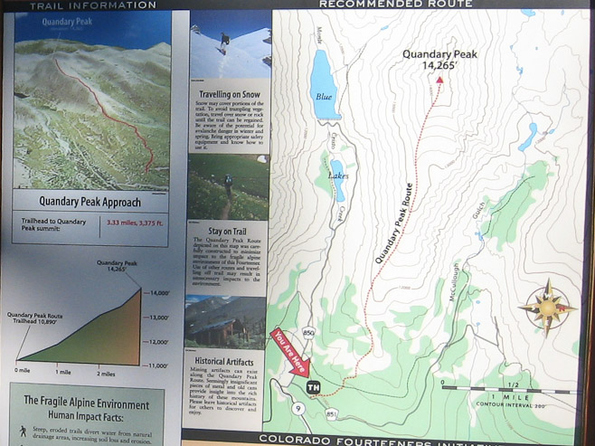
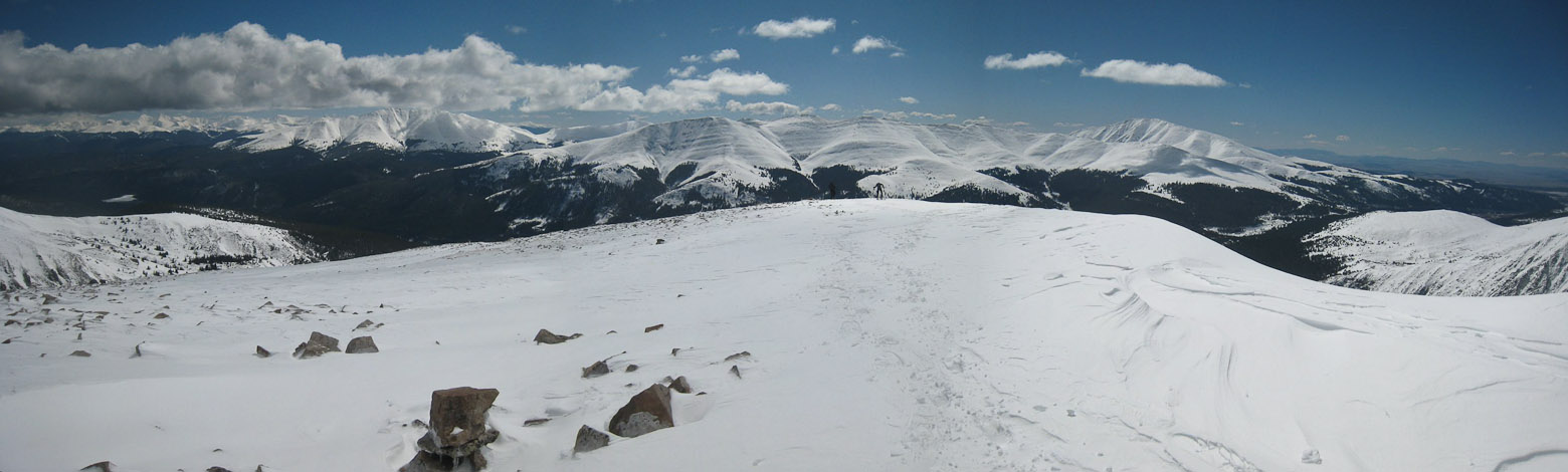
Here's the map and stats of the hike to the summit. The trail soon climbed away from the road. Some bare dirt and fallen tries caused Chris to put his skis on his pack during the early going...
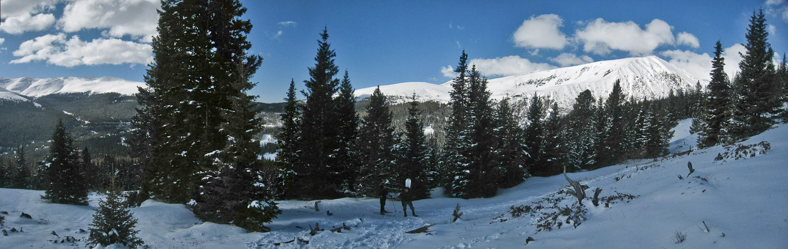
After 20 minutes through the forest, the trees started to thin, and the slope began to increase a bit...
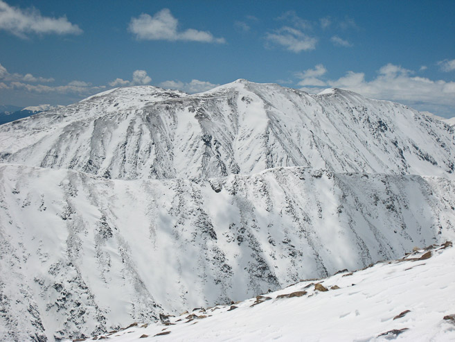
10 minutes later, we had our first views of Quandary, a big mound of vanilla ice cream, with trees for sprinkles...
The snow was solid on the trail, bare boots would have been fine so far. An occasional cloud would cast a swath of shade...
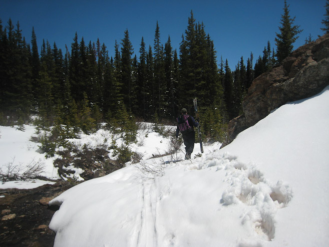
When we neared the edge of the trees, just before the slope steepened, Tom and I debated stashing our snowshoes to save weight. But the snow was actually kind of soft, and after I experimented bare booting a short distance, slipping and sinking a couple inches each step, it was obvious the snowshoes were beneficial still. We continued with them.
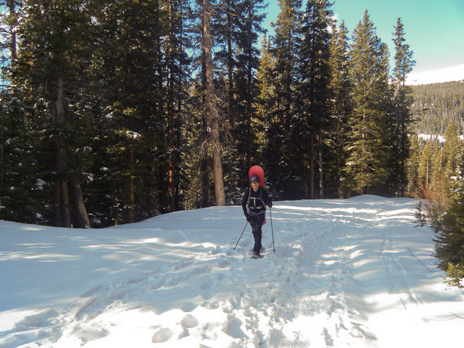
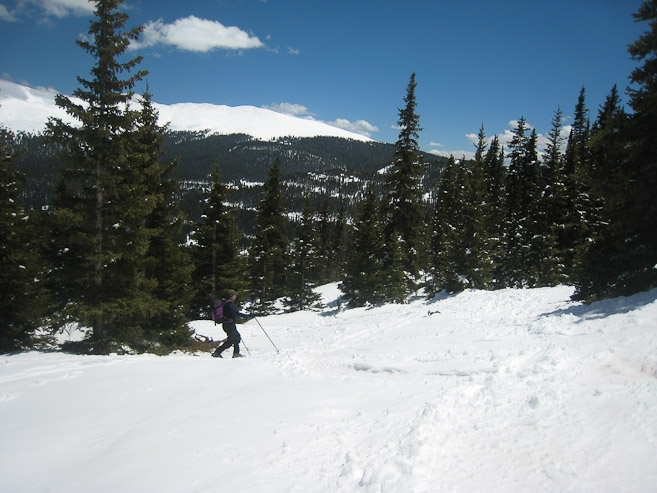
The denseness of the trees varied inversely with the steepness of the slope, as we started the gaining the ridge. Several hikers were scattered on the trail this morning. It was nice to have some boot tracks to follow...
A pic of me, with Hoosier Ridge in the backdrop... (pic by Tom)
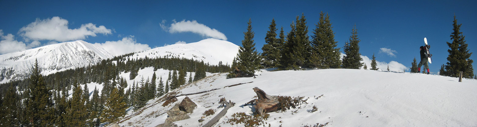
Another pic of me chugging away, passing the final trees (pic by Tom). A look back at Tom, after reaching a flat stretch...
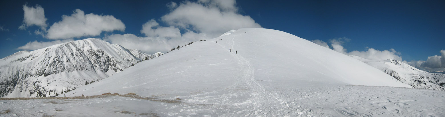
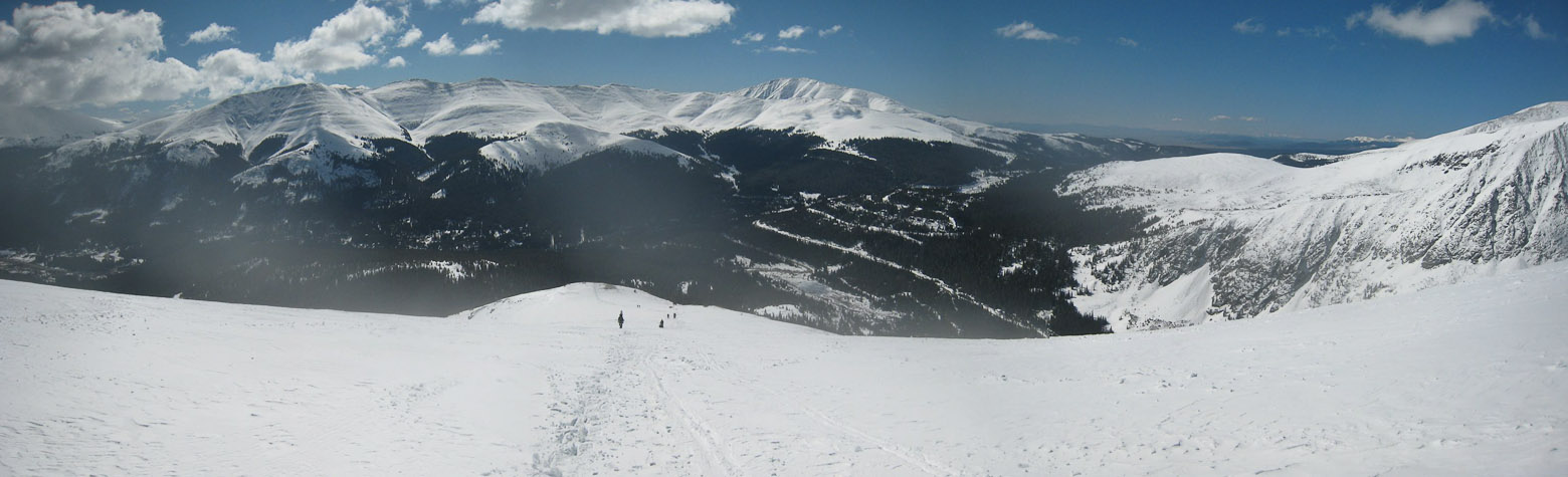
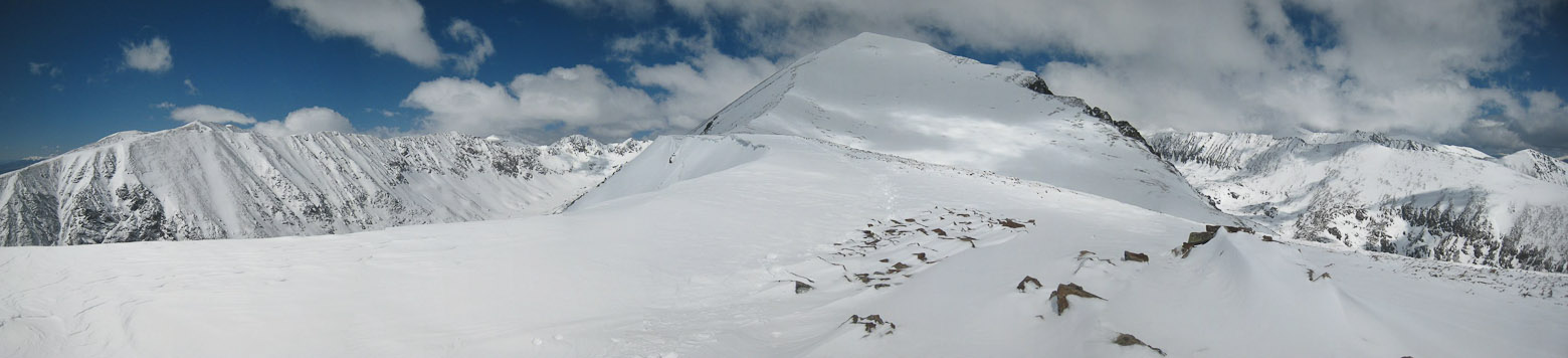
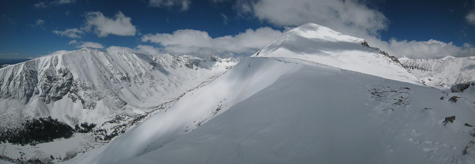
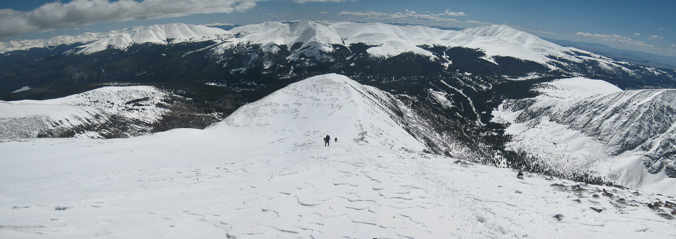
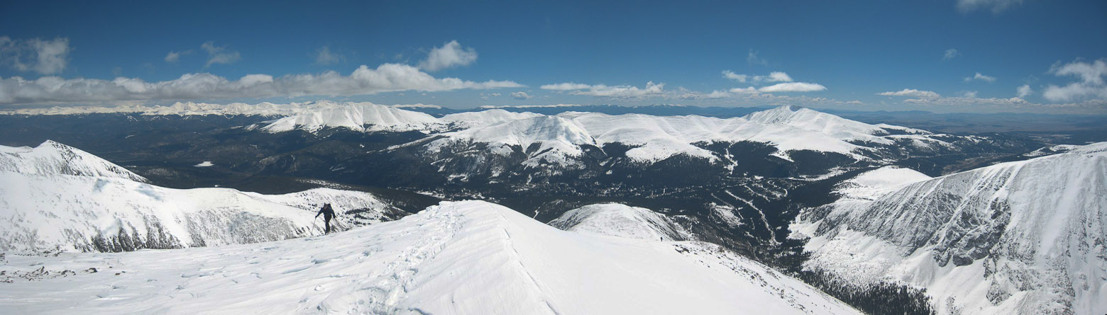
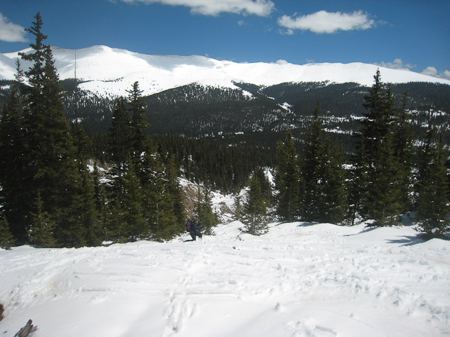
Looking up the ridge, from the same flat stretch. Quandary's Peak is the sunlit tip, just visible to the left of the ridge crest...
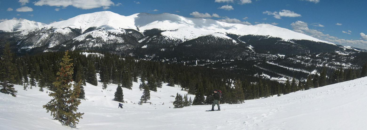
Chris had been bustin' up the slope in his skis, and was waiting for us near the trees to the left of Tom. We took a short break for a snack there...

A look back down the slope. Hoosier Pass is seen on the right, with Hoosier Ridge extending across...
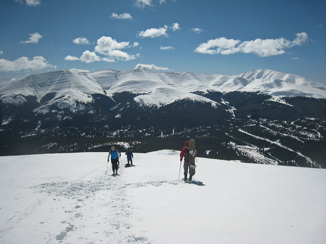
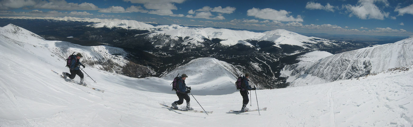
Chris and Tom continue up the slope, after our short break. I'm no ski expert, but snow conditions were looking great. There were several inches of recent, gently packed powder on the surface...
Another look back. I was happy with my pace on the snow, despite the heavy payload, and my legs were feeling good today...
A look up at Chris and his ski tracks on the right. Someone was hiking without snowshoes today, as can be seen by the boot tracks. I was glad to have my snowshoes. A look back at a few other skiers/snowboarders on the mountain today. Most people had snowshoes/skis...
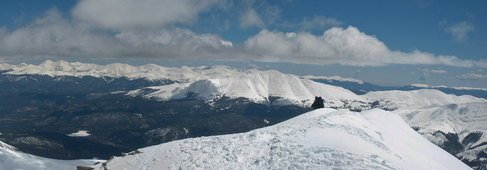
Chris stands ahead at the lip of another flat section in the ridge, with Quandary beyond...
Another look back down the slope. Awesome skies today...
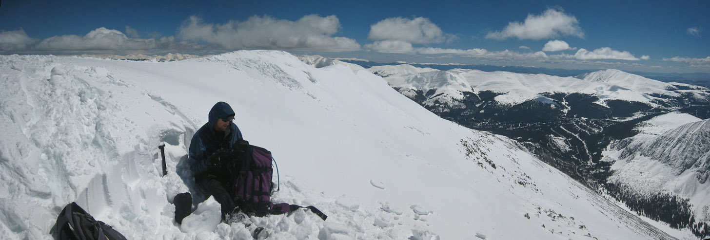
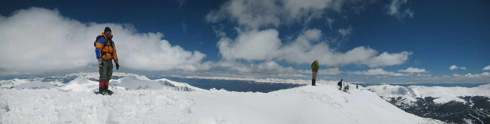
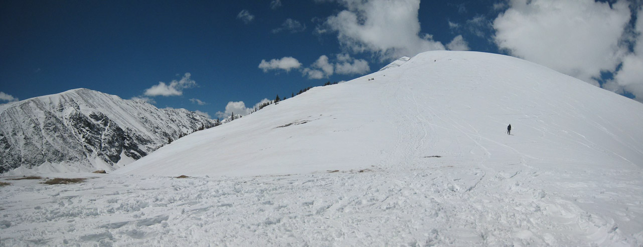
I reached the flat section of the ridge, ~13,100', at 9:55am. That meant there was still ~1,150' to go!
I walked a bit further up the ridge, and looked back at Chris, and another climber...

A close-up of Grays and Torreys to the northeast, and a close-up for Quandary's peak ahead (a few "specks" on the ridge are hikers)...
There was a small cornice along the south face of the ridge...
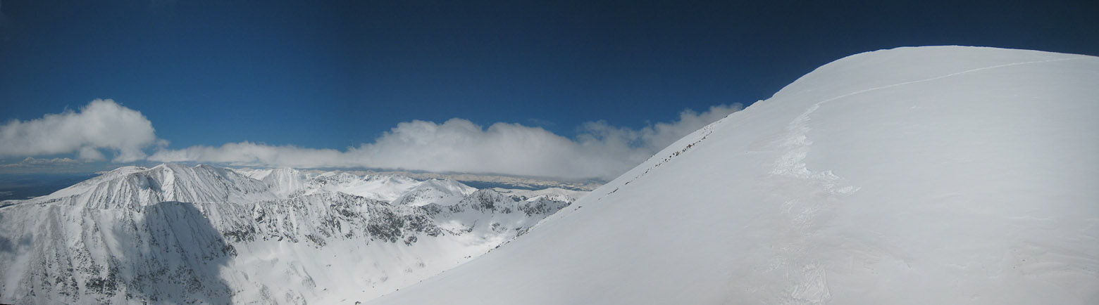
Another pic from here. Couldn't decide which of these pics to use, so have them both. Different clouds...
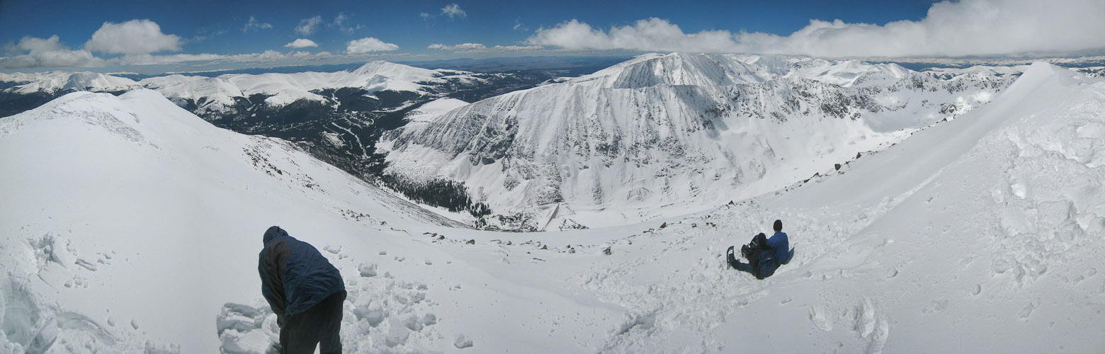
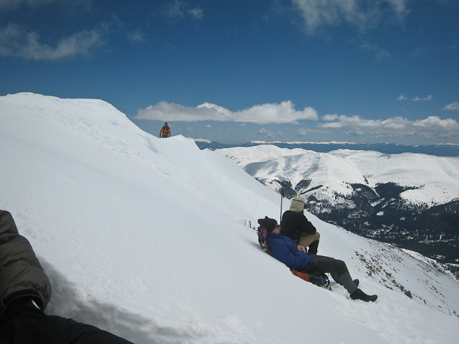
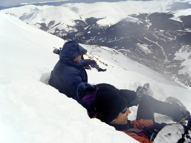
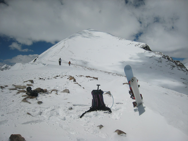
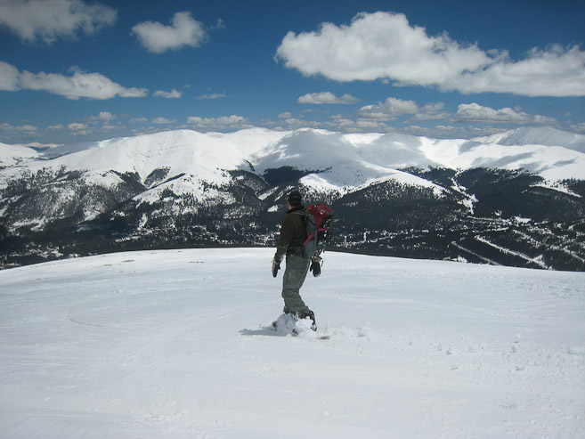
After viewing the rest of the route, noticing that the ridge would be a bit too narrow for my comfort level on the descent, I decided to leave my board here, at ~13,100'. When Tom arrived, he quickly agreed with the decision, and was contemplating calling it a day, as the ridge and heavy pack had worn him down. After a rest, we continued on, and left Tom a walky-talky, in case we got separated.
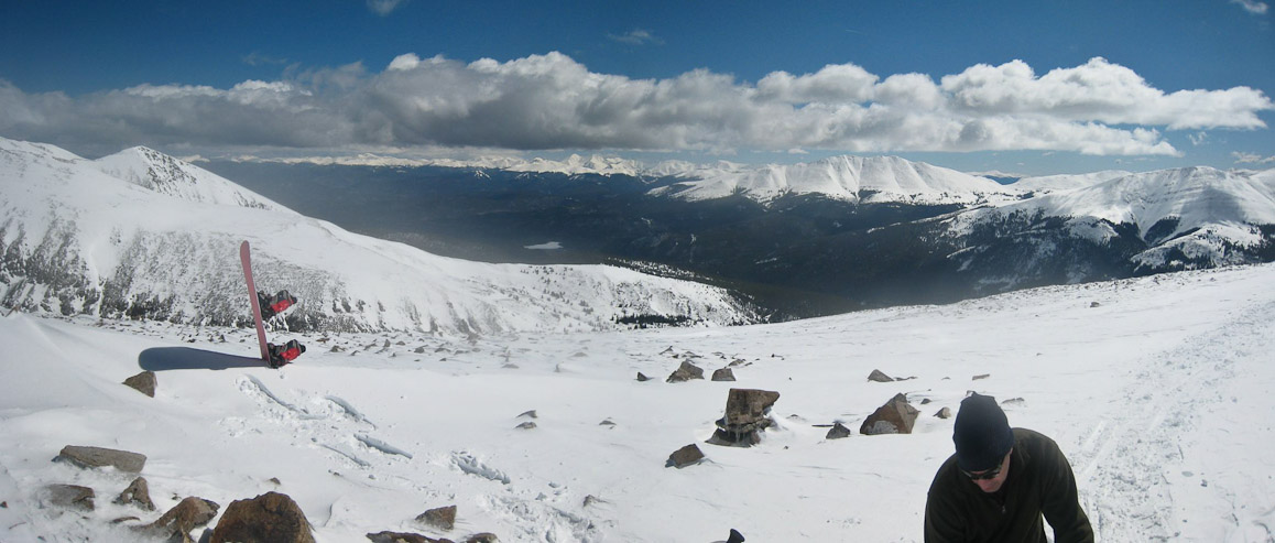
Looks like a snowboarder had a severe mis-hap on the mountain! Tom and I decided to leave our boards here at 13,100', and continue in snow shoes...
The snow was soft, and again I was grateful for my snow shoes. Without my board and boots on my back, I had an extra spring in my step...
A look back down the ridge. I left my board near the "drop-off"...
A look back at Chris skinning up behind, with Tom and a couple others beyond...
That flat section of the ridge looks far away now. Chris and I kept a solid pace on the climb...
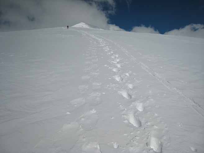
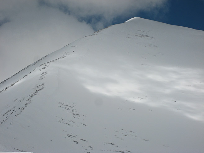
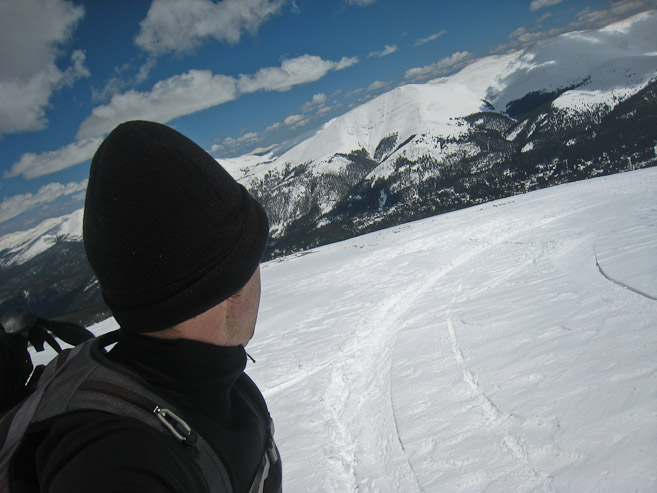
As I neared the top, I could see where the Cristo Couloir reached the ridge, and wondered if anyone was on this steep slope today. The summit was getting close. Without snowshoes, I'd have been sinking ~10-12" (I had passed the bare-booter on the way up)...
A look back at Chris approaching the final stretch...
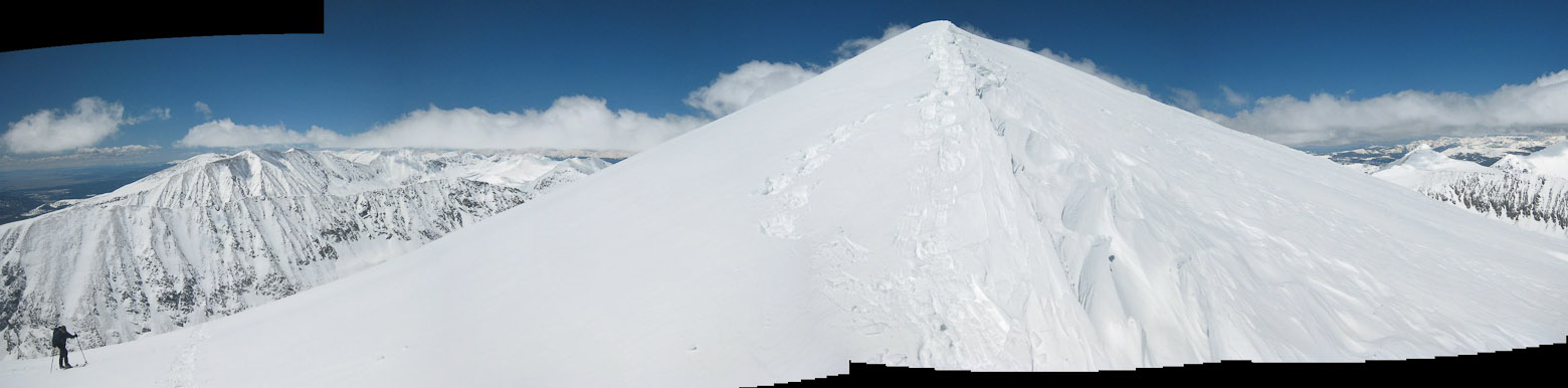
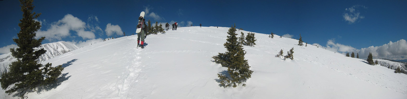
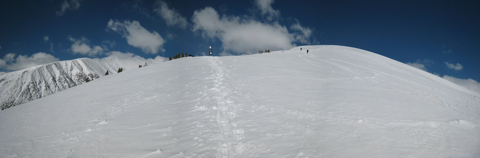
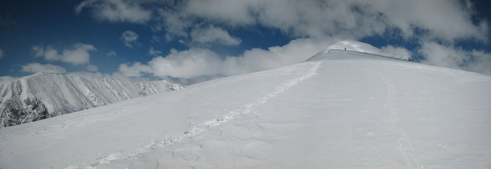
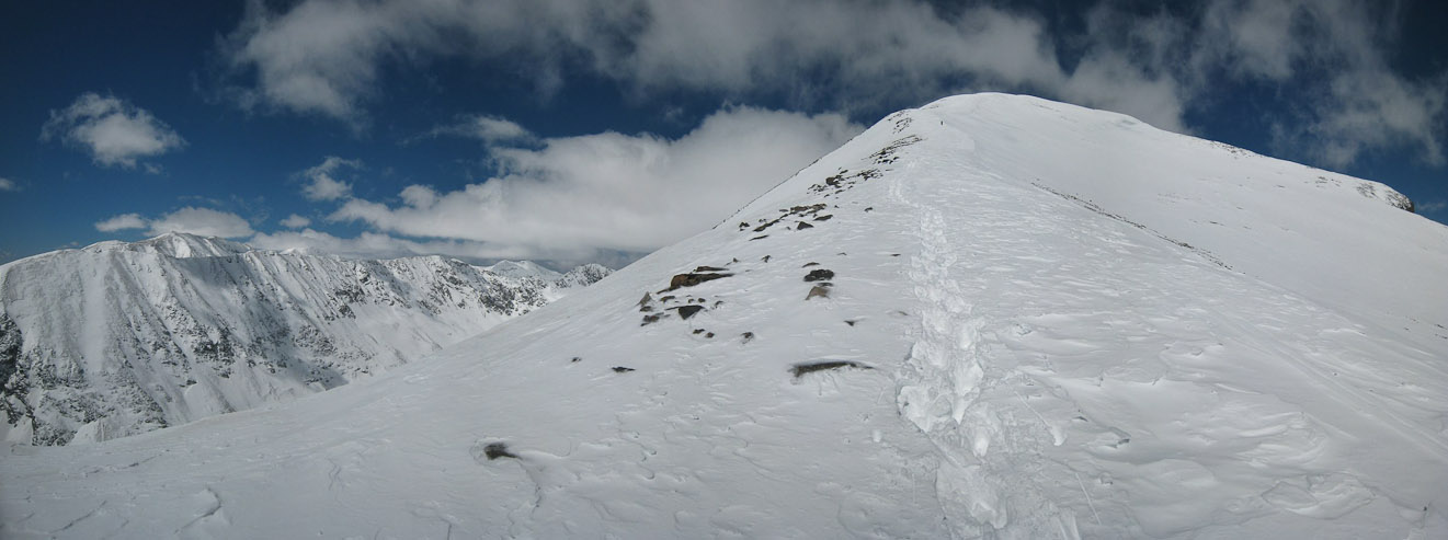
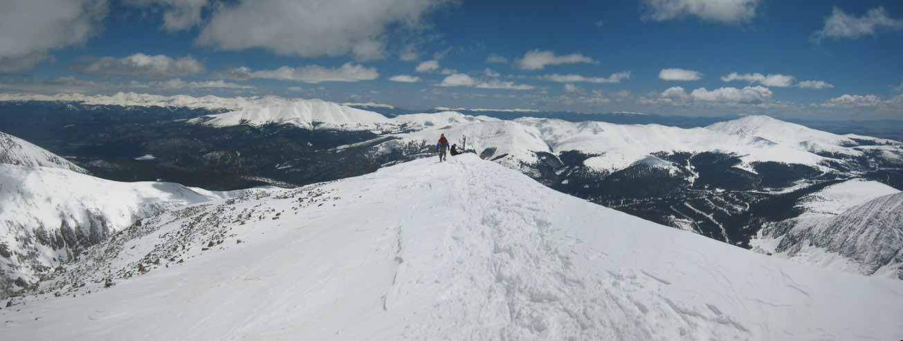
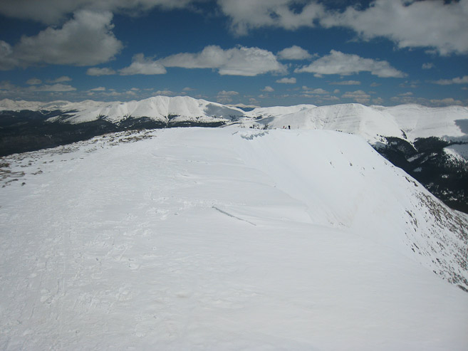
Here's a wide view of the ridge leading to the summit, with Chris on the left...
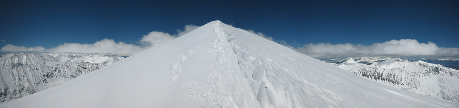
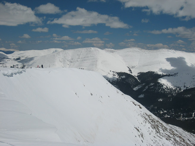
It kind of looked like a big snow dune, with footprints...
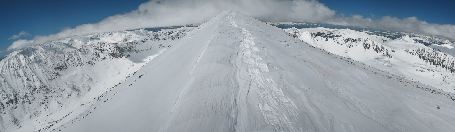
Another look at this cool summit-leading ridge...
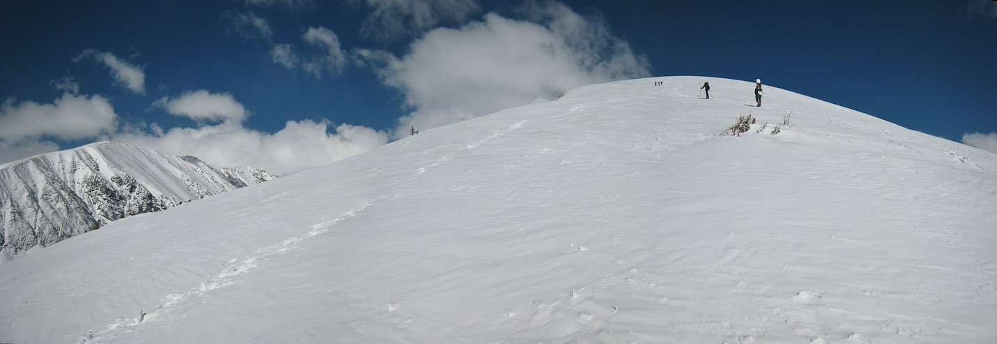
Chris was right behind...

Finally, the peak is in view on the far side of this "snow-knife edge ridge"...
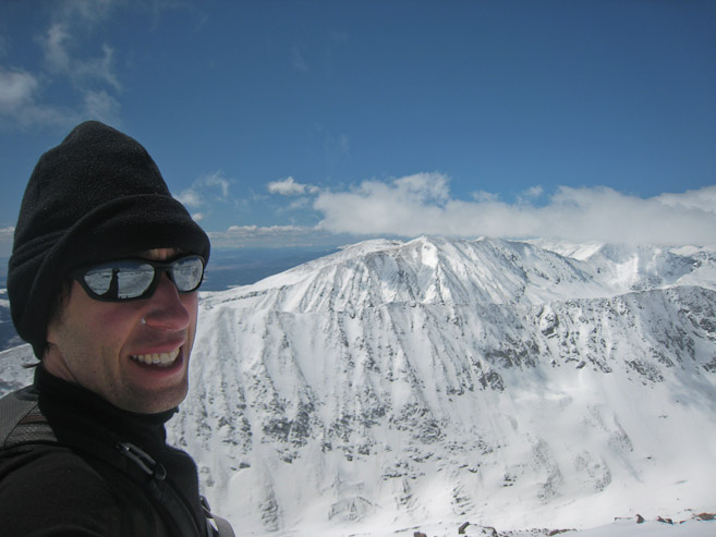
I reached the summit at 11:15am, and took this self-portrait, with Lincoln in the backdrop...
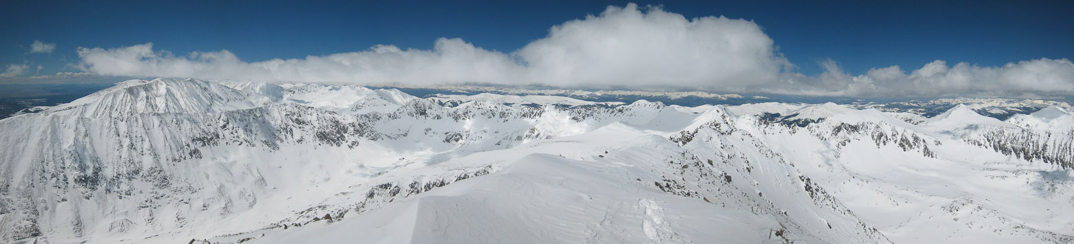
A wide look west, down the other side of Quandary...
Chris stowed his skis, before joining me at the summit. Grays and Torreys on the left...
Two other hikers were hanging out on the summit. Chris had a snow shovel with him, and carved us out a bench, below the windy ridge...
Chris and I relaxed on the summit, soaking in the (mostly) sunny skies. The snow was a bit cold, but I was comfortable reclining against it...
We radioed Tom, who said he was planning to reach the summit, so Chris and I hung out, counting the other 14ers we could see, and chatting about climbs.
A look at Tom, as he reaches the summit. Tom takes a pic of Chris and I "chillin'" at the summit...

A wide view of Bross, Lincoln, Cameron, and Democrat...
Lots of hikers had reached the summit by noon. We started our descent ~12:10pm. Tom stands ready to depart...
We returned across the summit ridge...
I decided to take off my snow shoes, and heel-step down the snow. I sank in a little deeper than preferable occasionally, but it's my favorite way to descend snow (by foot). I did notice some occasional short glissade tracks too...
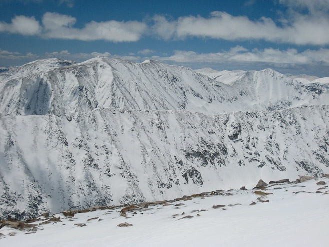
A couple of pics of Bross, Lincoln, Cameron, and Democrat, during the descent...
Chris was managing quite well on his tele-skis, and made it down to the flat stretch in no time...
After crossing paths with more hikers, skiers, boarders, I reached the flat stretch, and made my way to Chris and the snowboards...
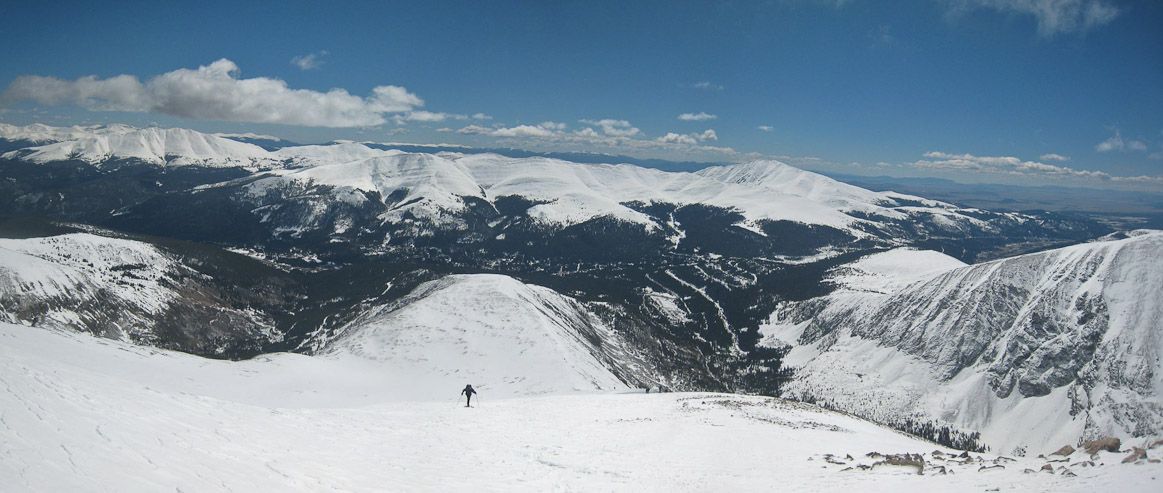
Looking back at the ~1,150' I descended in ~30 minutes...
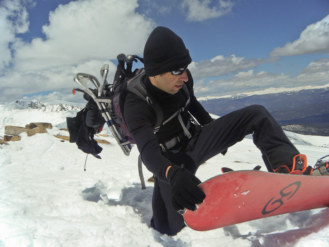
After returning to our boards, it was time to lock and load... (2nd pic by Tom)
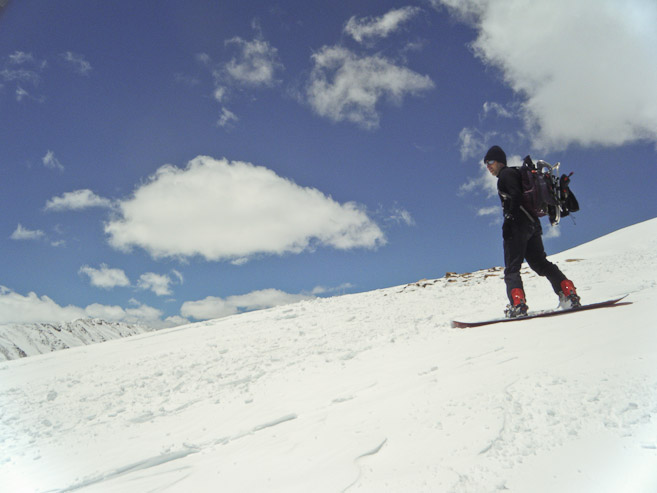
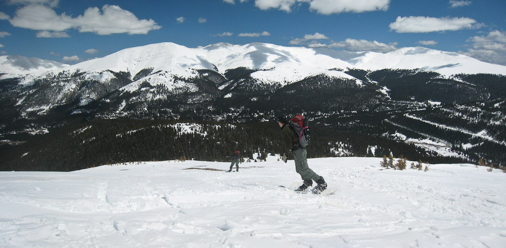
The heavy pack made for a slightly different center of balance, but since I hadn't snowboarded in over 2 years, I didn't have much rememberance to base it against. Tom's board gets buried in some snow, as he starts his run. The snow was awesome... (1st pic by Tom)...
The ridge was wide, the snow was sweet, and the gentle slope made for a pleasant ride. It was easy to find untouched snow to carve out a line...
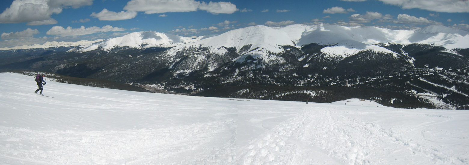
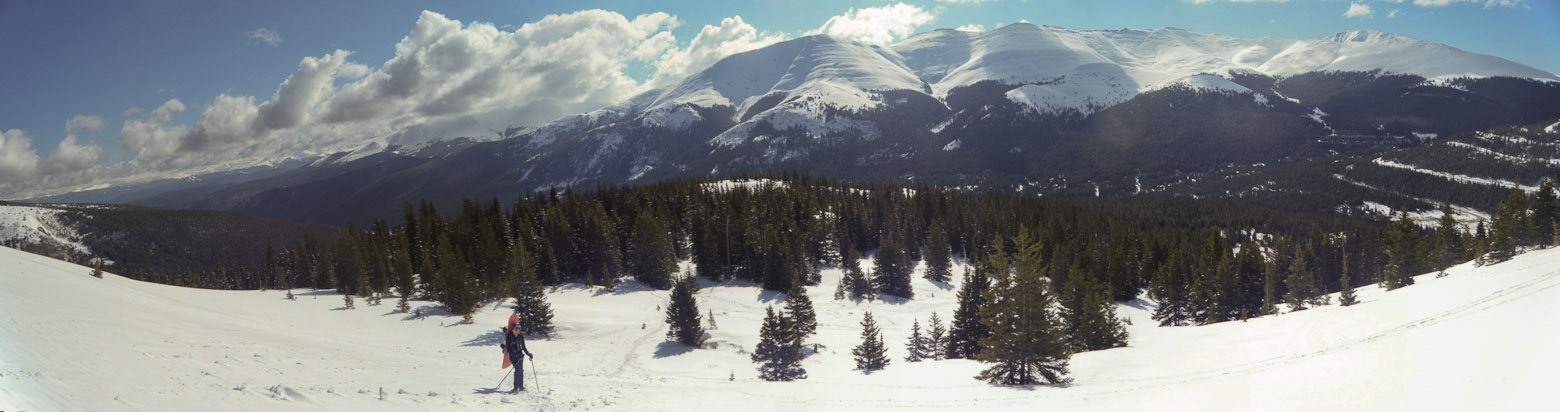
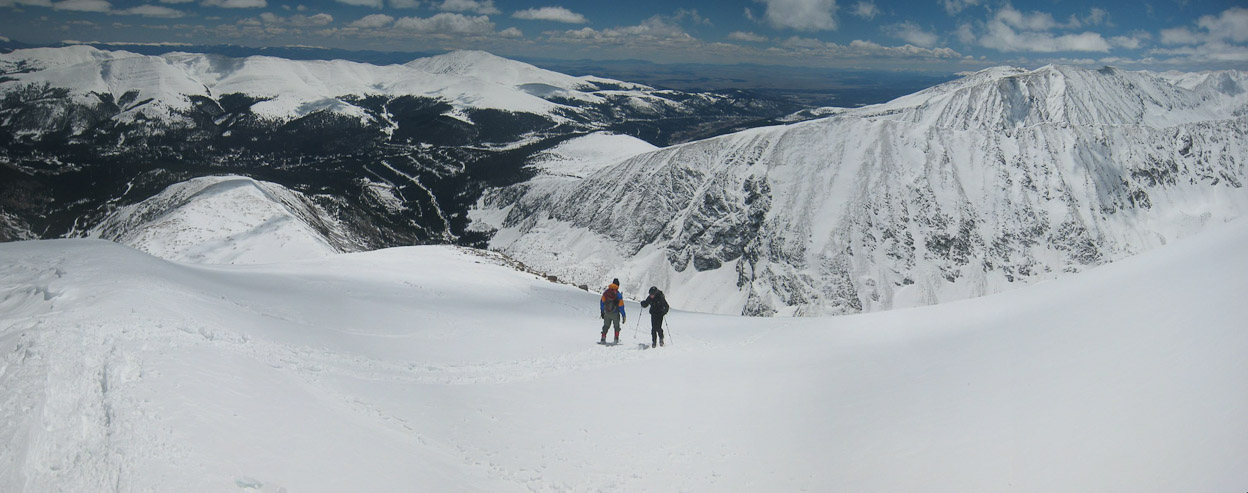
A wide view, with Chris skiing on the left. Quandary has probably the easiest descent to ski/board. A good intro to back country skiing...
Tom takes a pic of me arriving at a flat spot. Unfortunately, when I realized I'd need to keep good speed to clear the flat, the pressure got to me, and I almost lost control, costing me some speed. I had to butt scoot a short ways to reach the next slope...
A look back at Chris, and the 1st section of our snowboard descent...
A couple pics of Tom as he starts down the next stretch, back towards treeline...
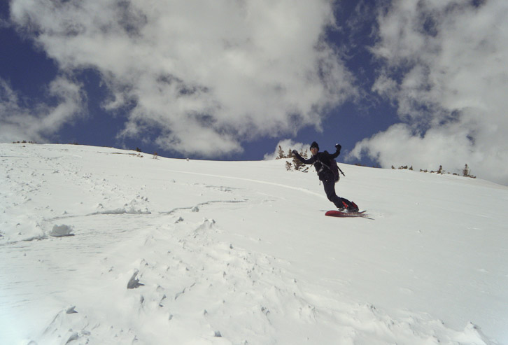
Tom gets a pic of me slicing down the slope, while I try recording a video on my camera. The video didn't turn out good though...
A couple of Tom's make their way down the final stretch...
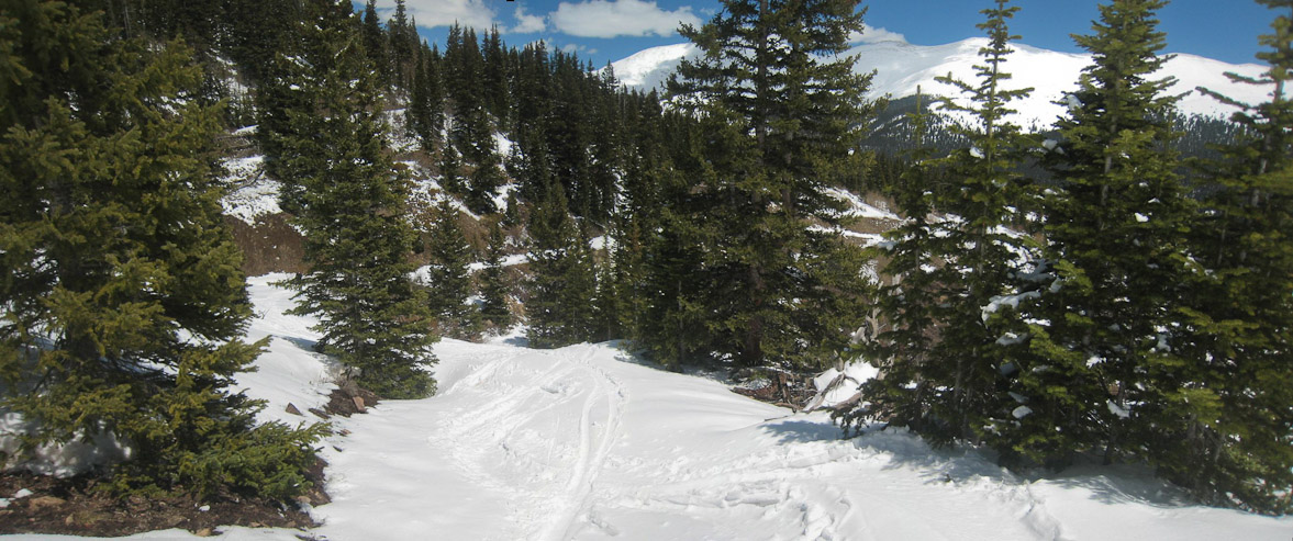
The main trail exited on the left side of the pic, but Chris remembered a way out towards the right, which would result in more ski/boarding, so we hooked towards the right...
Boarding through trees isn't easy for me, so I hoped the forest wasn't too dense here...
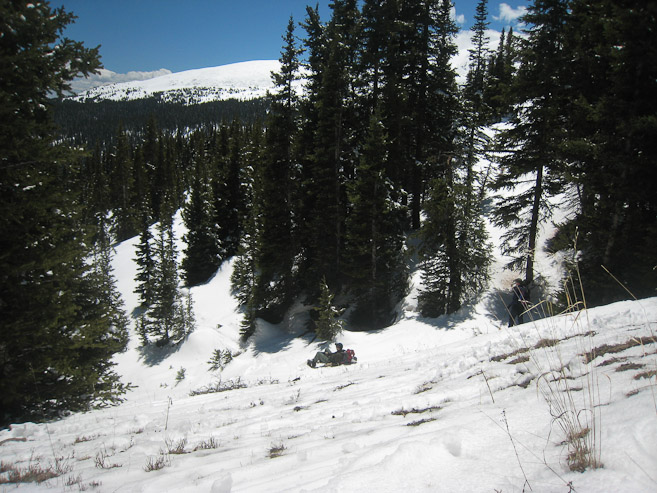

We took it slow, and scouted out the best way down. I found myself jumping and spinning 180 degrees to turn sometimes (while stopped)...

I followed Chris, who scouted ahead. I had to scoot around a bit to maneuver across flat/uphill portions...
The forest opened for small stretches, but it was slow going. Tom ended up off to the left, and told us not to follow that way...
I stuck with Chris for awhile, keeping in vocal range of Tom...
An old mining road appeared, where we and Tom reconverged. I took off my board for this final stretch. My watch had ~11,250', which meant we descended almost 1900' on the board/akis. Walking down to the road proved difficult, as I post-holed to my thigh in places...
We now had another ~250' to descend carrying our boards. Tom and I hoped we wouldn't have to change boots and don snow shoes, but the soft snow made us consider. We were all post holing a bunch...
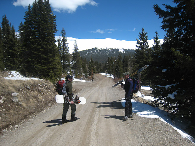
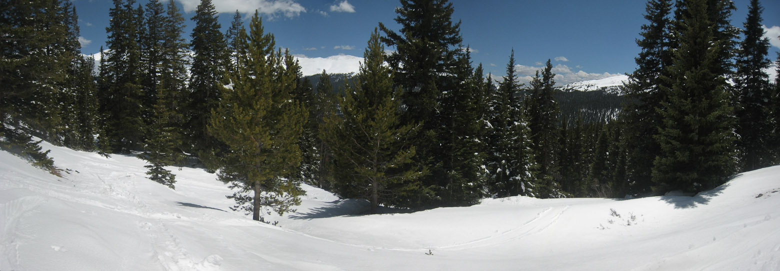
Finally we reached the road, ~2pm, and walked ~.3 miles back to the car. Solid, dry ground felt great after the sloppy thick snow. I'd recommend snowboarders to stick to the main trail at treeline, to avoid the difficult/sloppy forest descent...
It was a fun and memorable first back-country snowboarding experience. But it's a lot of work hauling a board, extra boots, and snowshoes. Skiers have it easy, since they can use one set of boots, and can skin up, instead of bringing snowshoes. Still, it was a great workout, gorgeous weather, excellent snowboard run, and I bagged my 29th 14er, 2nd of the year. Thanks to Chris for proposing this trip, and driving (allowing me to get all these pics stitched during the car ride back).