

Dave and I had planned to hike the Arrowhead - McHenry's Arete traverse on this trip, but were suprised to see tons of snow on the north facing ridge, despite the hot sunny weather this past week. As a consolation prize, Dave suggested climbing Thatchtop Mountain, located on the other side of the Arrowhead/McHenrys basin. Here is the story...
Dave and I met up at the Harmony Library in Fort Collins at 4:30am, and I drove us up to Glacier Gorge trailhead in RMNP. It was still dark at 5:45am when we arrived at the nearly empty parking lot, and the air outside was surprisingly mild for late September at 9,000+' before sunrise. We knew we had a long day in store (as we were planning the traverse), but thanks to a favorable forecast of sunny skies, warm temps, and no wind, there would be no chance of rain today.
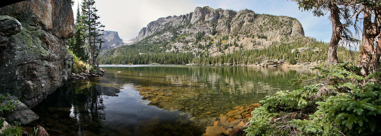
We were on the trail at 5:55am, and sped up the trail under headlamp, easily identifying the short-cut trail to Mills lake (feels good to finally have mastered the location). In 30 minutes, we were at the Mills Lake / Loch Vale trail junction, and soon arrived at Mills Lake just after sunrise.
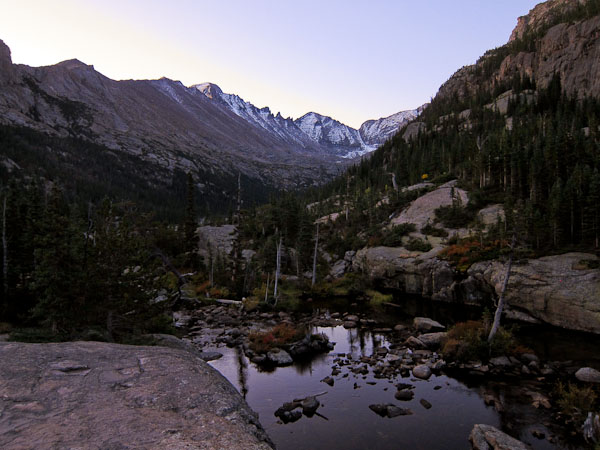
The view to the south and north, over Mills Lake...
We were surprised to see so much snow on Longs, Chief's Head, and McHenrys ahead of us, and realized we might not have safe conditions for the traverse today. But we still continued our route up towards Lake Solitude, to investigate the northwest route up Arrowhead.
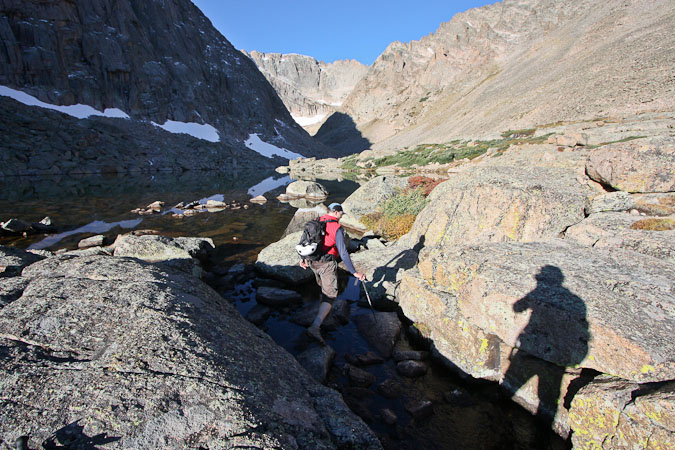
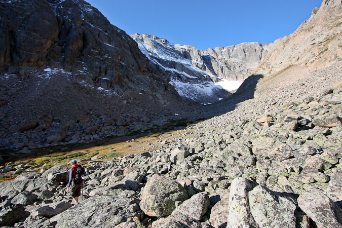
Dave had scouted out the route to Lake Solitude several weeks ago, and knew where to find the small cairn marking climbers trail up to Shelf Lake. It's in a small meadow ~half way between Mills and Black Lake. We crossed a stream and began a tremendously steep ascent up a forested slope, following an unmaintained trail that wouldn't relent.
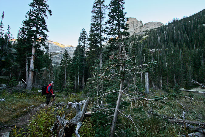
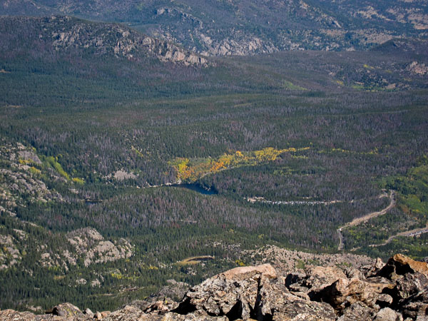
A look from ~2/3rds of the way up the valley, in an opening in the forest...
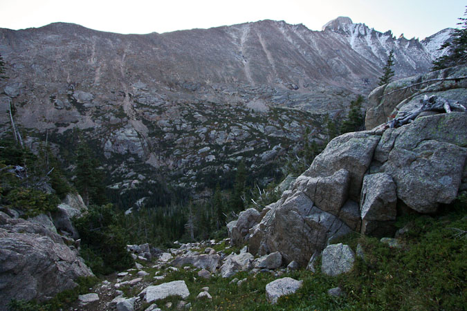
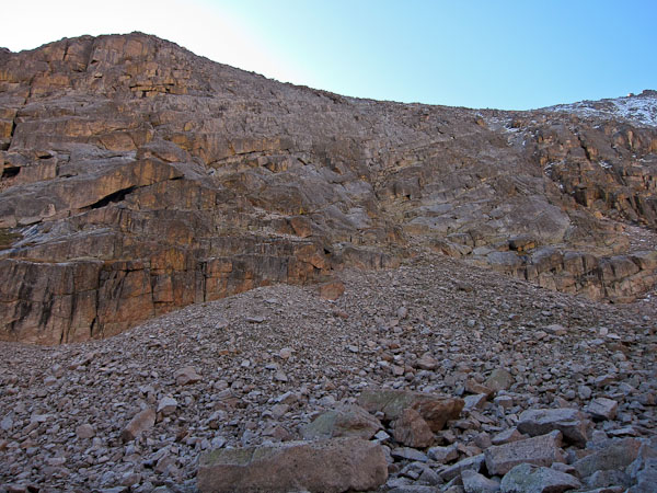
Finally, an end to the steepness appears near. Looking back at the valley floor we hiked in on...
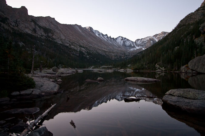
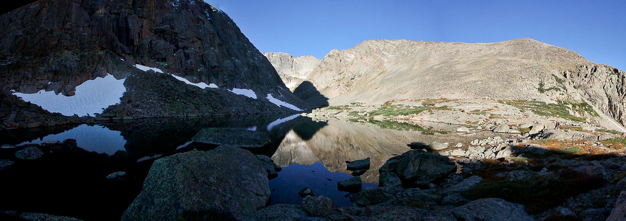
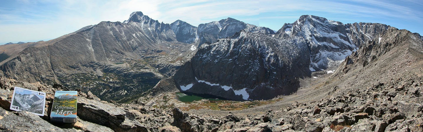
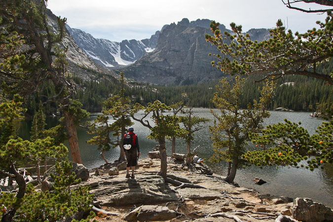
At 8am we reached Shelf Lake, and were treated to a spectacular scene, as the sun was breaking on Arrowhead and the cirque in front of us. I spent some time taking photos.
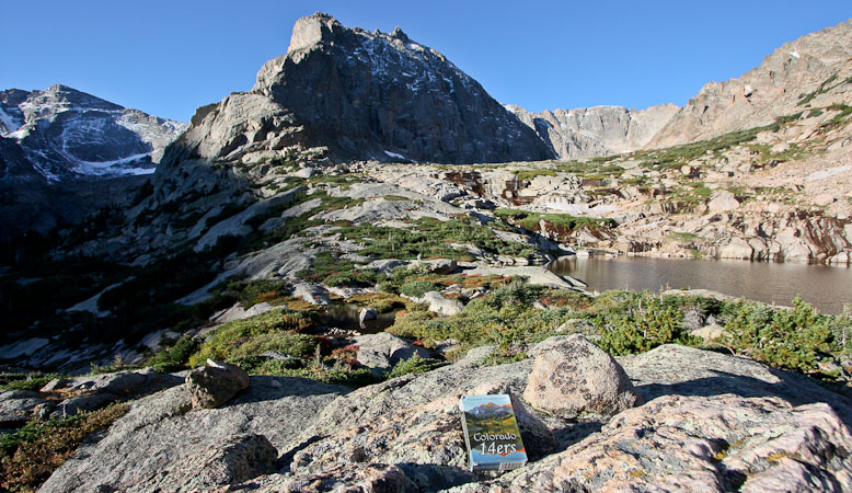
14er cards ($6.95) poses in from of the Shelf Lake and Arrowhead...
A look from just past Shelf Lake, as we head further up the basin...
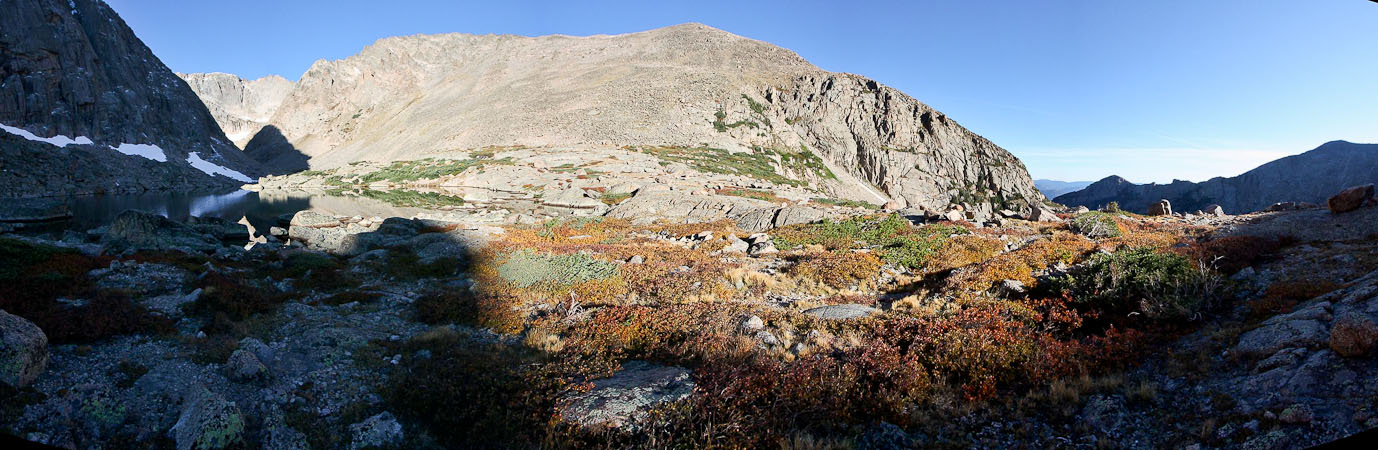
Autumn colors are in play on the brush here at 11,000+'...
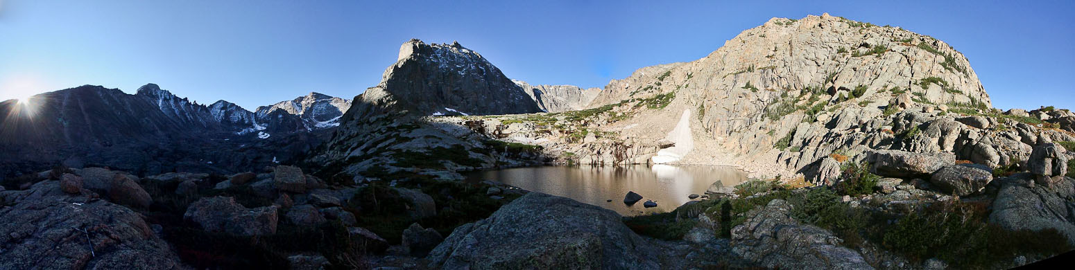
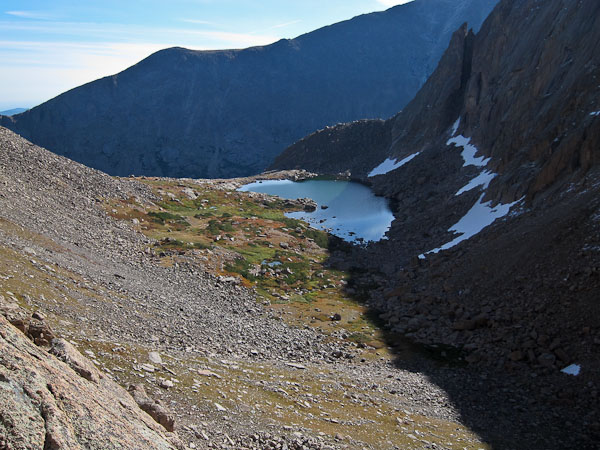
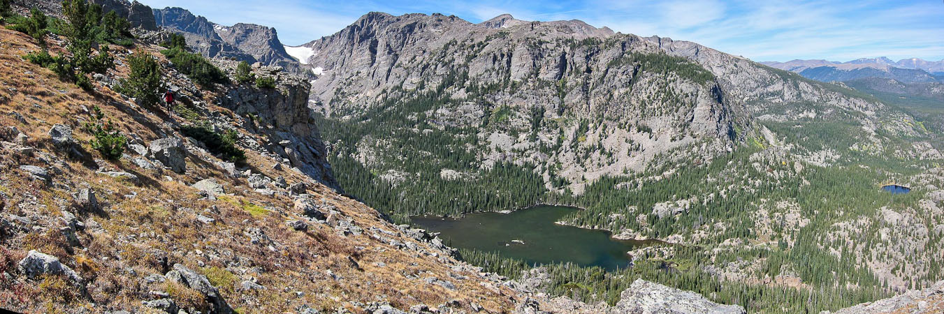
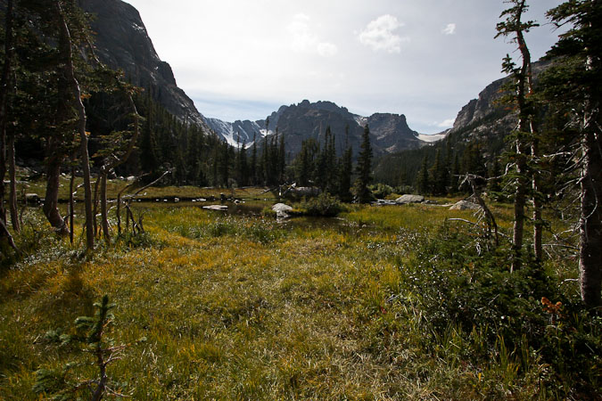
Soon we reach Lake Solitude, a short ways above Shelf Lake. Thatchtop Mountain is small bump on the ridge side of the long ridge in the sun...
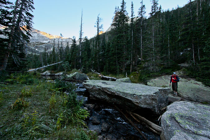
The northwest route up to Arrowhead was still further up the basin, but we already guessed we'd find a bunch of snow. Dave proposed climbing up Thatchtop, and descending down the other side, for a loop hike back to the car. Sounded like a good alternative, but first we wanted to check out the approach to Arrowhead, and see the McHenrys conditions.
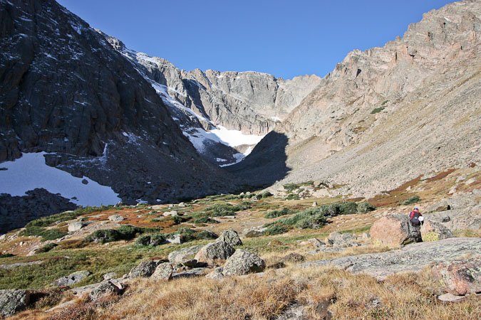
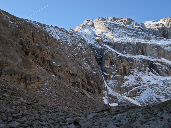
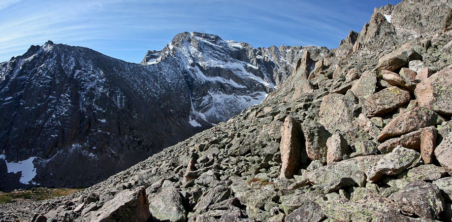
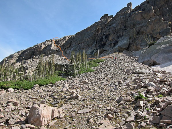
Eventually we reach the approach to Arrowheads NW route, as seen in the 2nd pic. Looked dry on the bottom. We tried to figure out the ledge system from our vantage point...
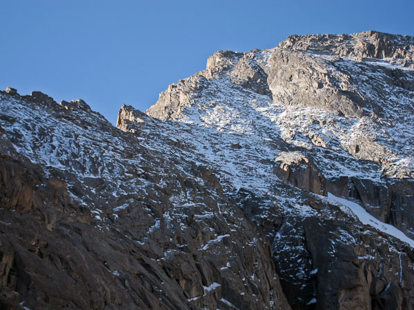
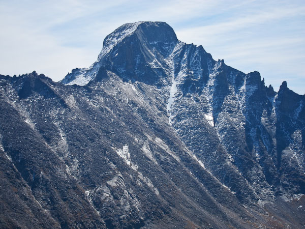
However, a look up at McHenrys revealed a heavily snow covered ridge and gulleys leading from the ridge to the summit. No way today...
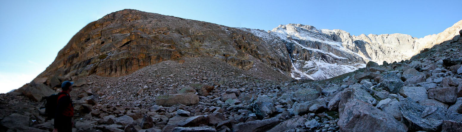
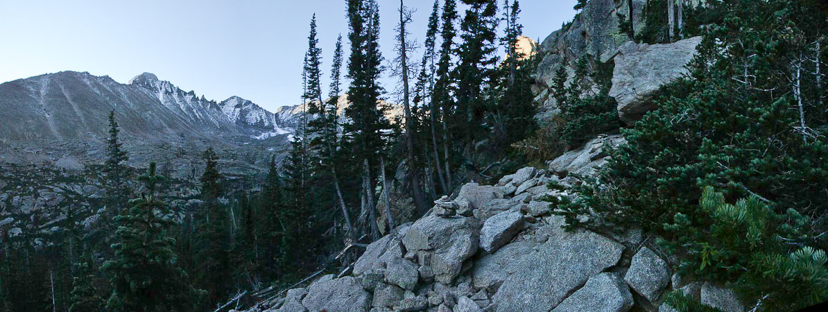
A wide look at Arrowhead on the left, and the ridge traverse to McHenrys on the right...
Amazingly, we saw a person standing on the ridge, about halfway between Arrowhead and McHenrys! We watched for awhile, as he was nearly a gendarme, and would have to traverse through snow below the ridge to pass it. But we lost sight of him, and never saw him again. We think he must have turned around, as no one would want to deal with snow on that route.
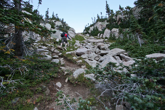
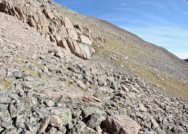
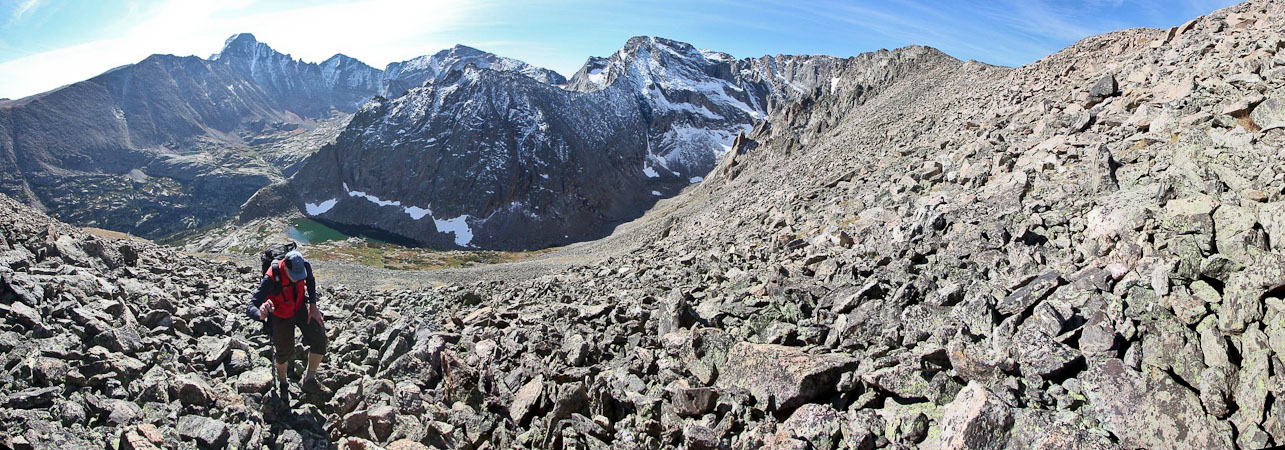
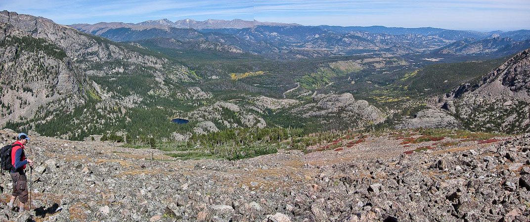
It was time for us to head up to Thatchtop. We turned around and started climbing up the west side of the basin, trying to stick to the solid tundra when we could. It was a ~1200' gain from Lake Solitude up a mix of tundra and boulders to the top of Thatchtop.
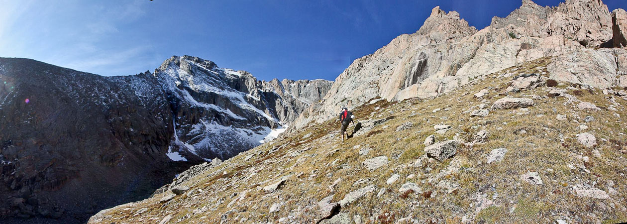
A look back at Dave, with McHenrys dressed in white behind...
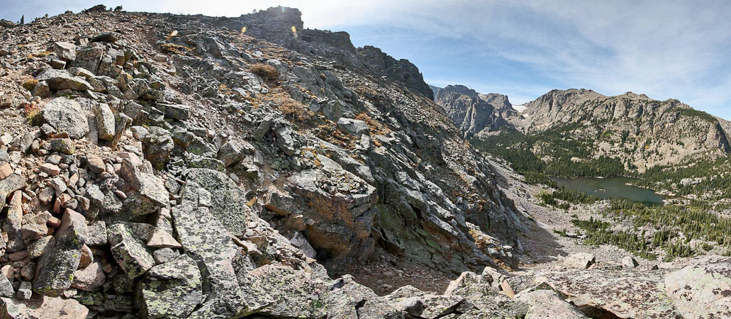
We did a lot of rock hopping. That ridge from Arrowhead to McHenrys looks pretty cool. Hopefully for another time...
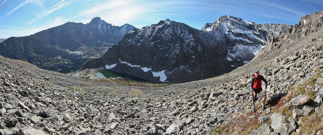
Longs Peak, Lake Solitude, Arrowhead, McHenrys, and Dave (from right to left)...
As we were climbing up this class 2 tallus/boulder field, I felt a rock shift under my foot, which lead to 3 other rocks shifting below me, rolling against my shin. Next thing I knew, I was facing straight up the hill, but falling backwards, and thinking, "I hope this doesn't last long". Before I could wonder too much about how many times I might tumble, I felt myself landing in the most heavenly couch imaginable. My backpack, stuffed to the max with a helmet (intended for the traverse), jacket, long sleeve, hat/gloves, food, full bladder, etc.., had acted as the ultimate airbag, cushioning me to a comfortable rest before my arms (or any body part) could touch a rock. My DSLR, draped around my neck, laid comfortable in my lap.
Dave watched it happen, and thought for sure I was going to be hurt. Sure makes you realize how even "trivial" class 2 terrain could still result in freak accidents. I was a bit more careful with each step the rest of the way. Eventually we topped out on the summit ~10:30am.
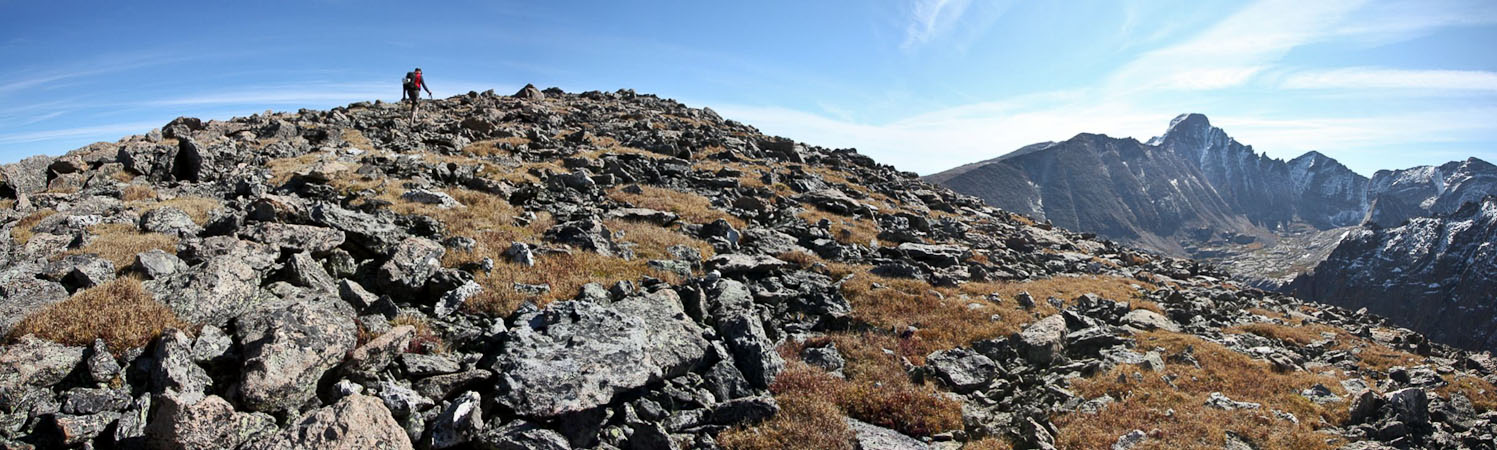
Dave nears the top of Thatchtops broad summit...
The weather was completely ideal. Pleasant temps in a long sleeve (while resting), with nary a breeze in the air. We could see patches of aspen in the forests below. Dave filled me in on stories of his past climbs as he pointed out peaks. We hung out over an hour on the summit, before descending.
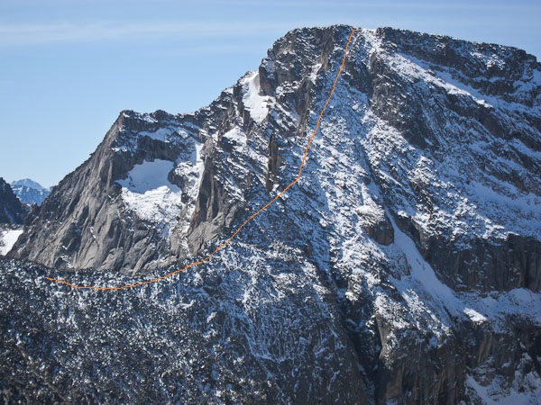
A close up of McHenrys (1st - I marked the traverse route in orange) and Longs Peak (2nd pic)...
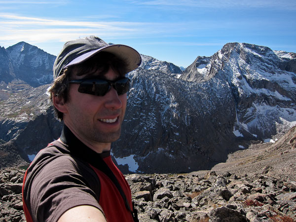
14er cards ($6.95) makes an appearance on Thatchtop, with Longs Peak in the distance...
Dave had climbed Thatchtop 10 years ago via the S-gully on the other side of the mountain, so he led the way down the rocky tundra slope towards the treeline.
Thatchtop's gentle tundra slope gives way to steep cliff bands to the north and west, so it's important to find the proper descent gulley. Dave remembered the S-gulley exiting just before the tree line. We found some cairns that led into the trees, and then lost the trail. Dave searched the left side of the mountain, looking for the gulley on memory. We found a few cairns that led down a steep tallus field, which seemed to disappear over a cliff above Loch Vale, but this wasn't what Dave remembered. After more searching we think we spotted the S-gulley, but needed to back track a bit to reach it, so we decided to follow the cairned gulley to Loch Vale instead, planning to backtrack if needed.
We followed a few small cairns down a couple hundred feet, and then found a narrow gully sliced into the cliff band. There was plenty of loose scree, but it wasn't terribly steep, and ended being pretty easy to navigate. Dave was happy to explore and learn a new trail today (I was on new trails most of the day), as we descended to the east side of Loch Vale.
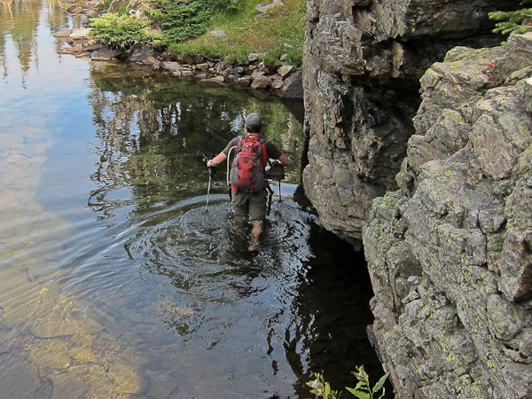
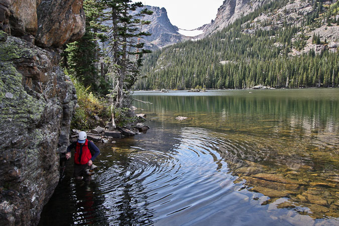
Once out of the gulley, we just had to figure out how to re-join the main trail on the other side of Loch Vale. We bushwacked through the forest, and found ourselves nearly cliffed out above the lake, save for a steep bank leading to the lakeshore. We descended to the water, and to our surprise, there was no path, or land at all, along the lake. A cliff stretched ~30' along the side of the lake. What to do?
At first it looked like we'd have to climb back up and traverse above the cliffs for awhile, but since the water looked about mid-thigh high, we opted to wade across the calm clear (and presumably cold) water. Several 12" cuthroat fish were swimming by.
I rolled up my pants, and with my boot laces tied together and draped on my neck, I stepped into Loch Vale (yup, chilly, but not as bad as Iceland/Norway stream crossings). Poles were put to work, as the rocks were a bit slippery, though mostly flat. Dave followed, happy the fording was not any longer, as his feet were very cold. We dried off, and rested on the grassy shore a bit. Might as well enjoy some last solitude before enjoining the masses on the main trail.
The view while we dry off and re-boot...
We then continued around the lake, finding a bridge over a stream, and rejoined the main trail. Lots of tourists were on the trail today. Oddly, three young guys were walking the trail barefoot, holding their sneakers. On our hike back, we searched out for the S-gulley, and saw it further north of our descent gulley. Good to know for next time.
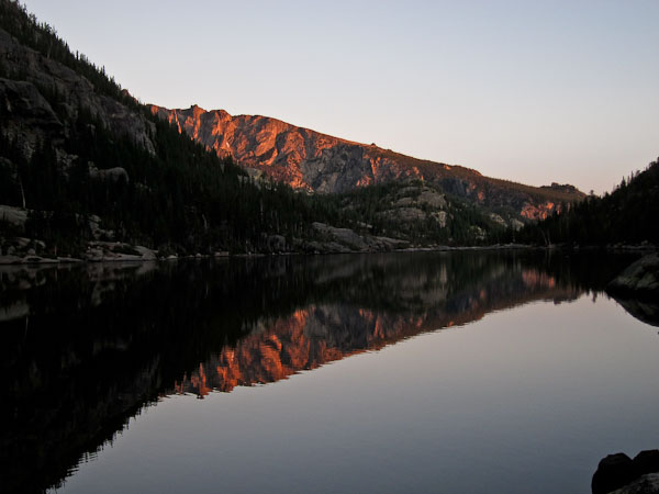
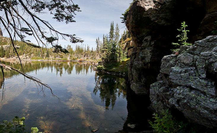
We checked out the view of Loch Vale from the trail, before heading back...
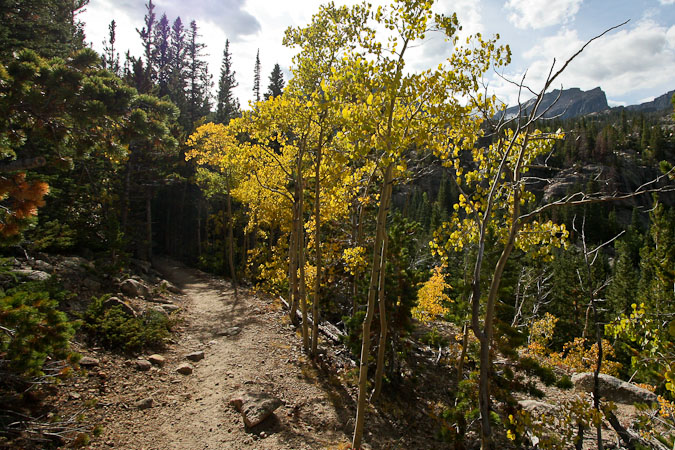
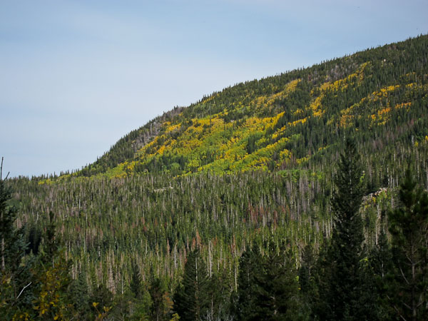
The changing aspen was pretty to see on the way back...
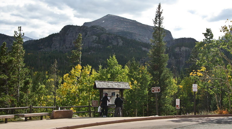
We returned to the car about an hour after departing Loch Vale, where buses were unloading and picking up tourists.
Though we didn't hike our main agenda, it turned out to be a gorgeous hike, with some exploration and adventure.
On the way out through Estes Park, we stopped at a few stores to see if they could use a re-supply of 14er cards. I delivered 6 dozen decks (free shipping!), and enjoyed visiting with my favorite store owners.