

1/14, 10:51pm, Kiwiana Backpackers, Takata…
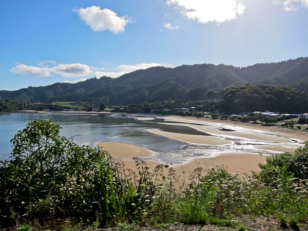
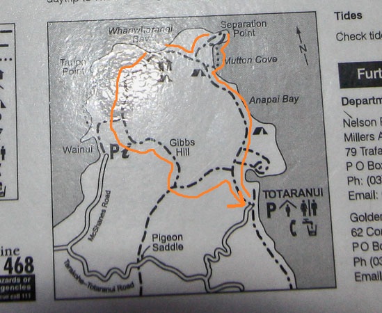
Big day today. Got up with the 7:20am alarm. Lots of sun out! Flax seed cereal with banana for breakfast, and a fresh lemon muffin cooked by the hostel manager ($1). We prep food for the Abel Tasman hike today, and head out on the 35 minute drive east to Totaranui. The road climbs a pass, and turns to gravel for 10km. The beach campground at Totaranui is huge, and mega popular. It hosts 800 people, and you need to reserve months in advance during the high season. We will be hiking from Totaranui north on the coastal route to Whariwharangi Bay, and back via Gibbs Hill Track, with a stop at Separation Point (hoping to see seals). 11-12 miles RT.
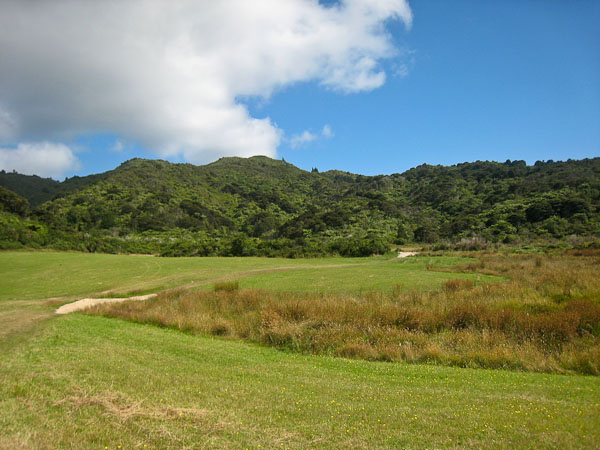
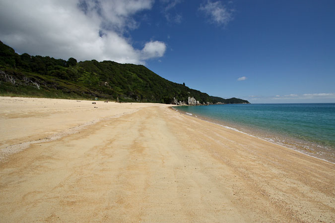
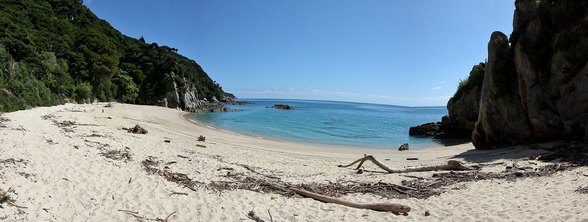
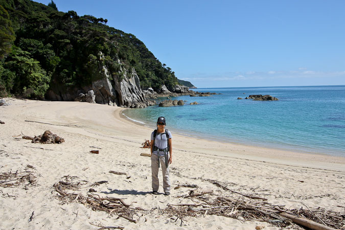
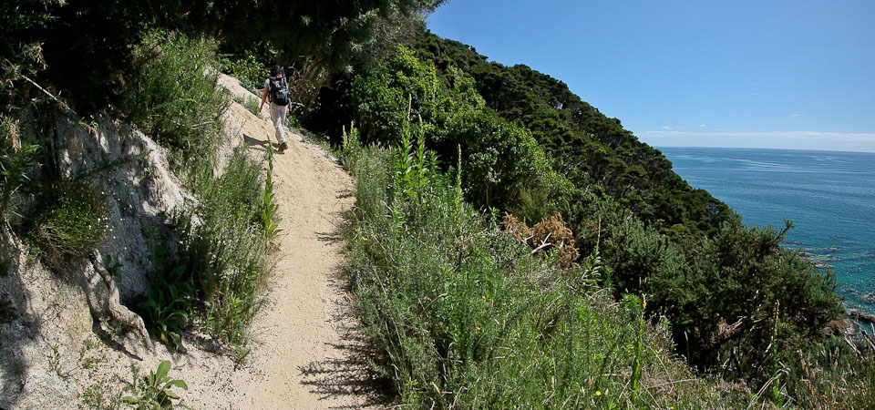
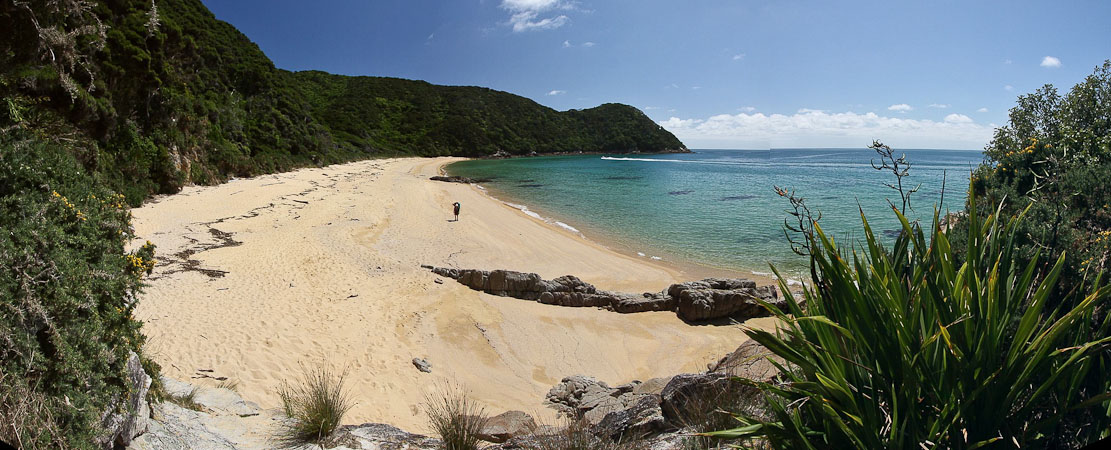
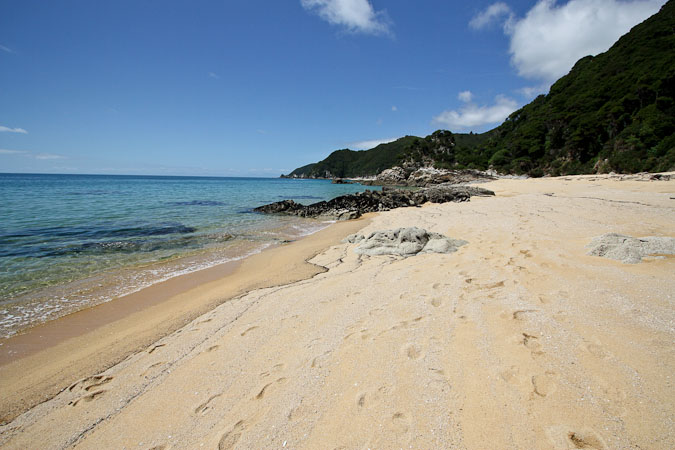
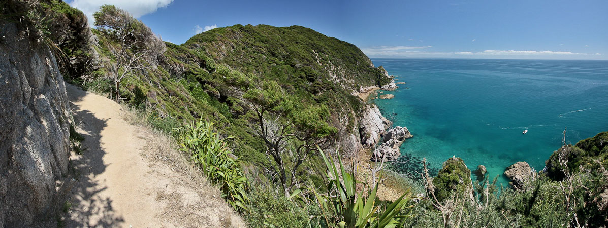
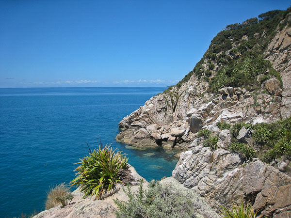
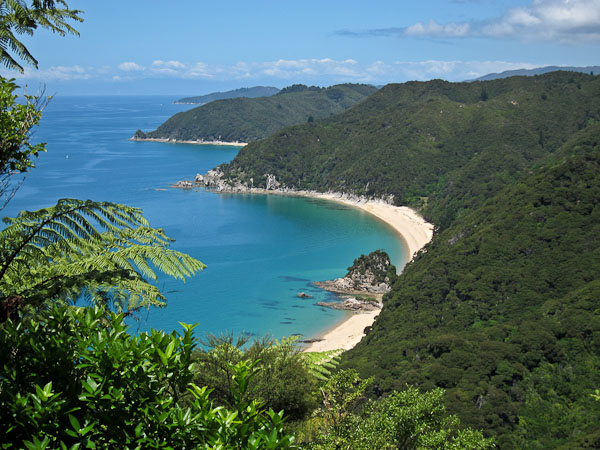
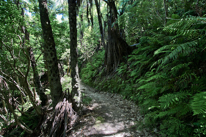
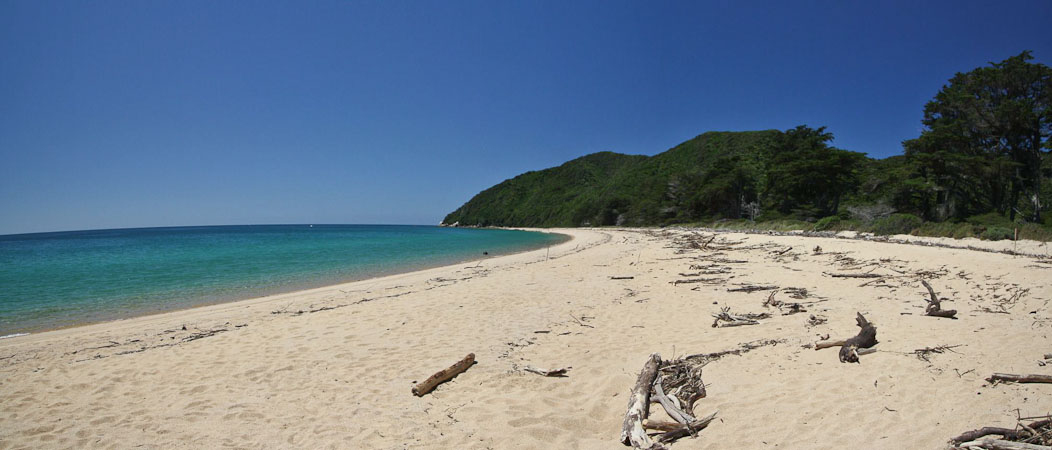
We start the hike at 10am, on an easy, wide trail near the beach that cuts across a meadow and climbs into a lush forest along the mountainous coast. After 50 minutes, we descend to the picturesque teal colored Anapai beach with rocky outcroppings. Quite scenic! Not many people on the trail in these parts either.
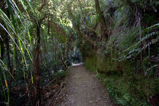
The trail was well established (this was one of the designated "Great Walks" after all), and we dropped down to the first scenic beach of the day...
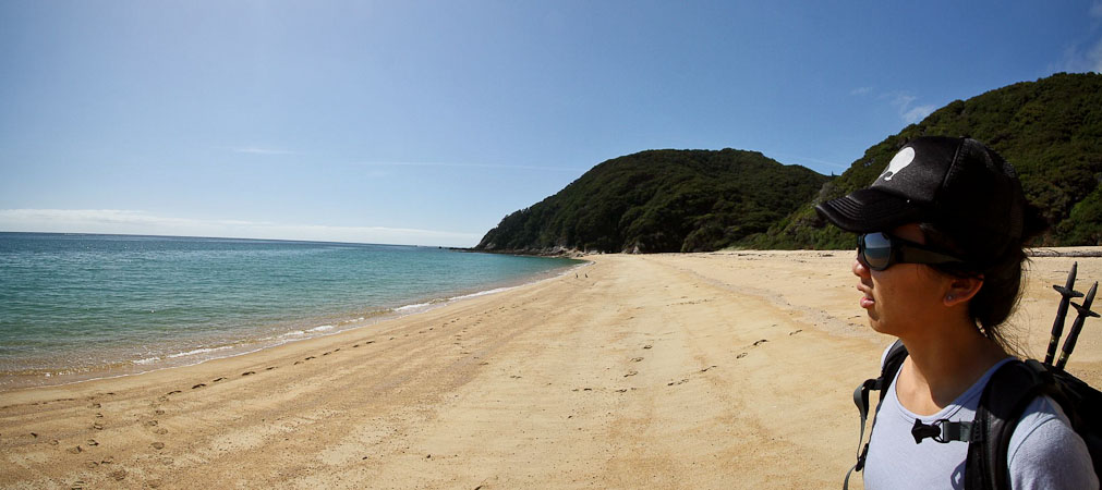
Wendy looks out over Anapai Bay...
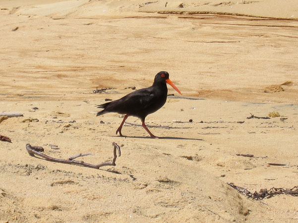
We walked up the beach in this direction, and encountered some birds...
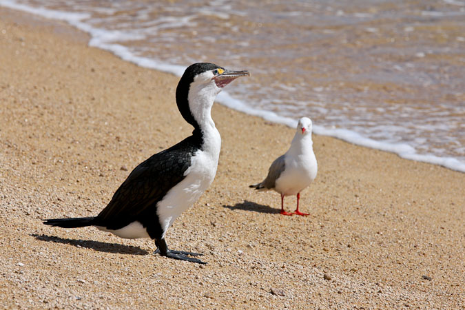
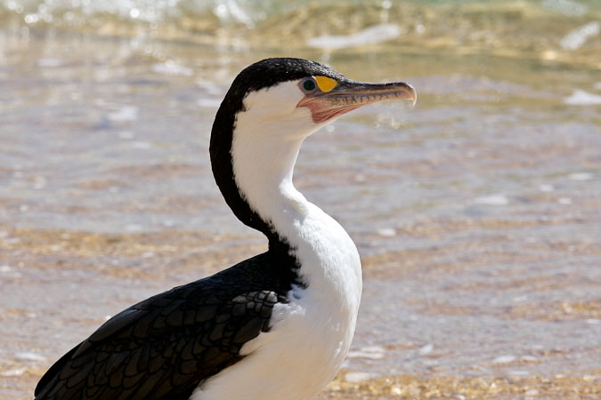
Hi birds! You guys look cool!
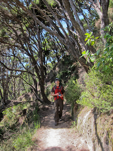
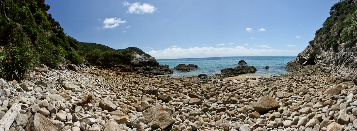
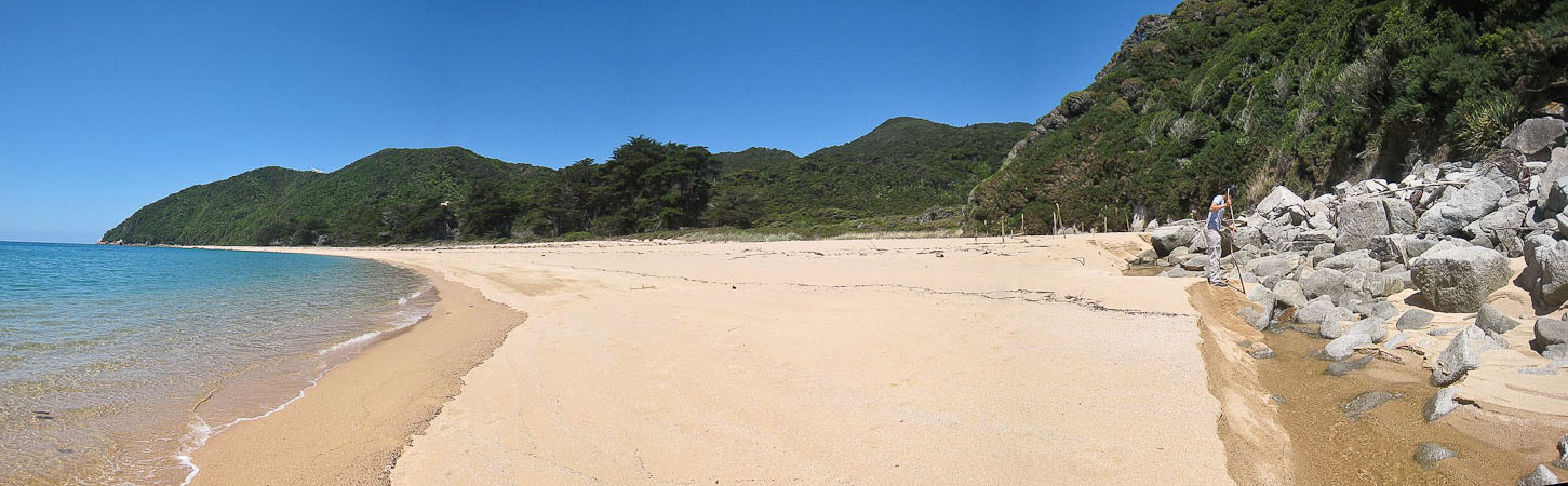
We climbed up a brief section of forest, and quickly dropped back down another small beach...
Wendy goes to check out the holes in the rock...
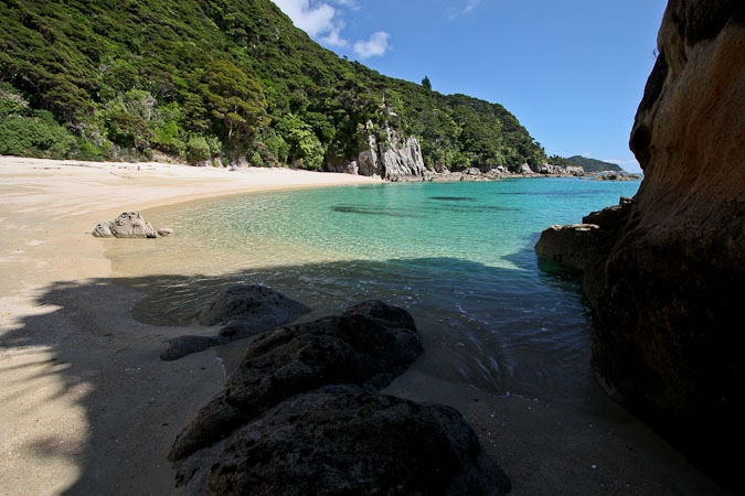
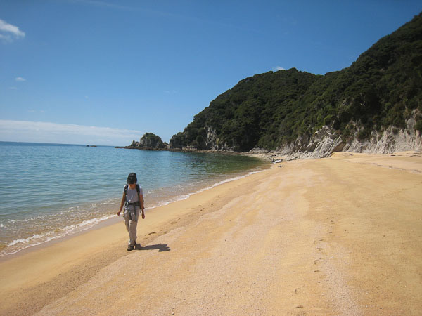
Wow, this beach was pretty awesome. Reminded us of Vaeroy in Norway. We continued following the trail at the north end of the beach...
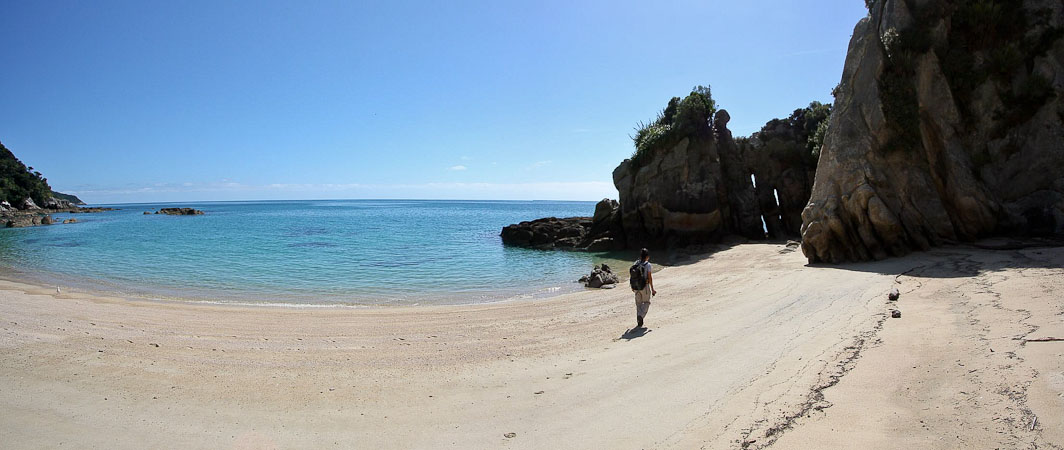
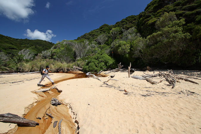
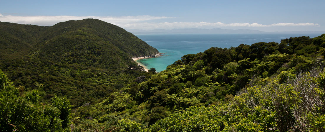
After Wendy scouts for shells, we continue up the trail, climbing through more hilly lush forests. We then descended into another dreamy cove: Mutton Cove.
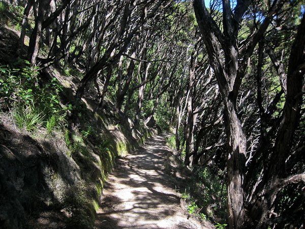
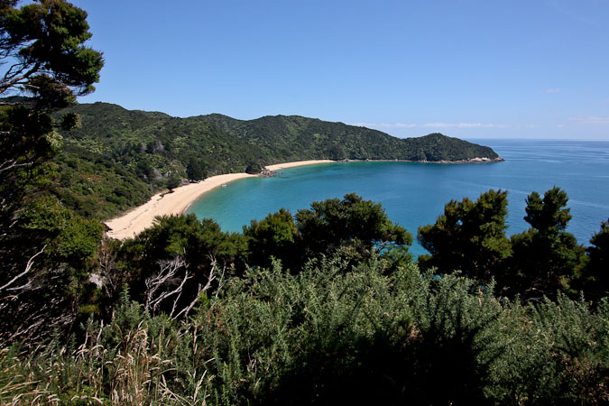
The trees created interesting shadows. 2nd pic: A look down at our next destination, Mutton Cove...
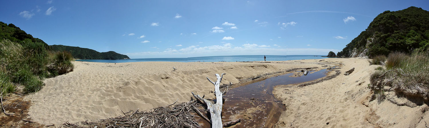
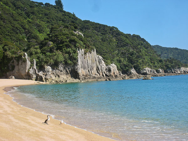
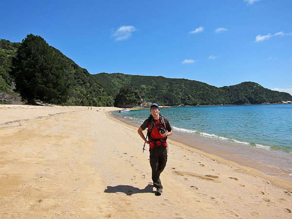
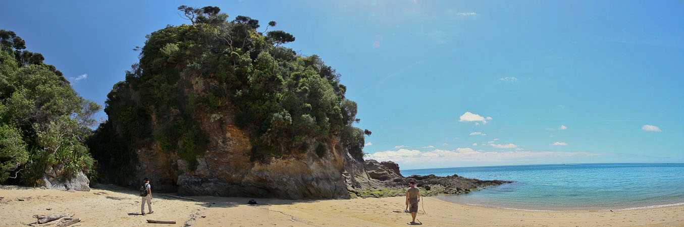
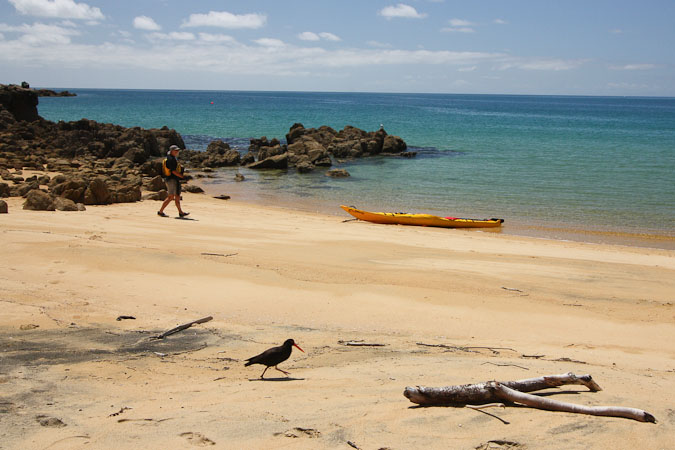
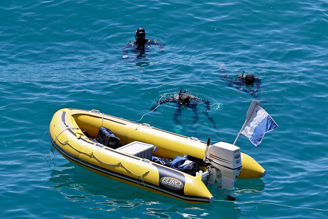
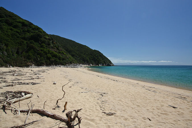
Here we are, arriving at another scenic beach...
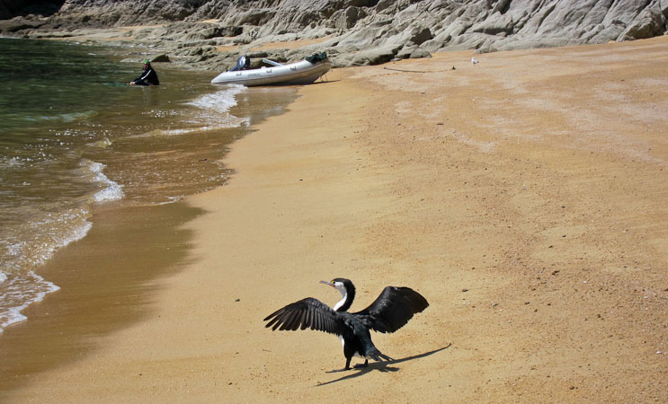
...with another cool bird. There's a guy with a boat in the background...
A look up and down the beach...
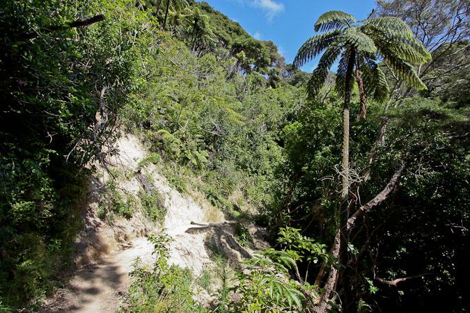
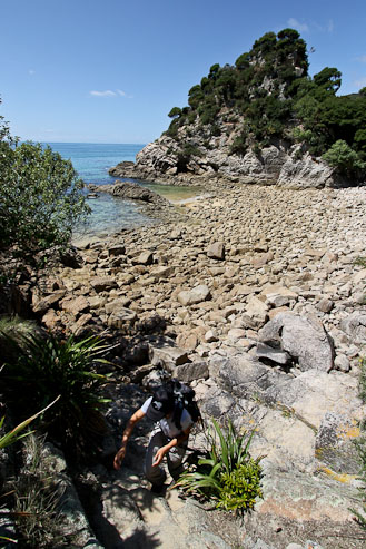
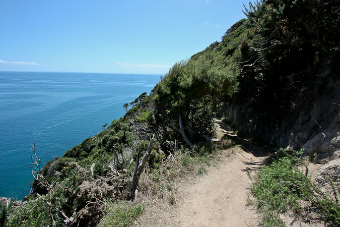
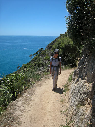
After walking along the beach, the path forked between a direct route to Whariwharangi, or a longer route via Separation Point. We choose the latter, and climbed into the forest coastline again.
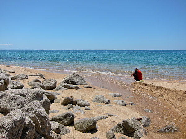
The trail got a little rougher. There are no tide crossings on the segments we were hiking today fortunately...
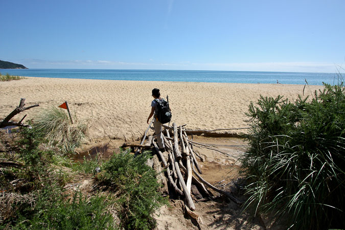
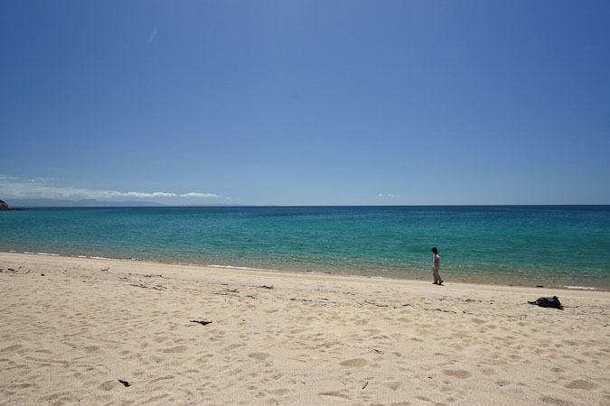
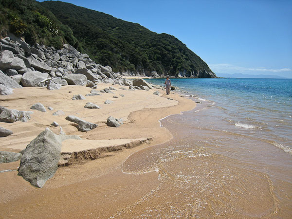
We encountered another section of beach to cross...
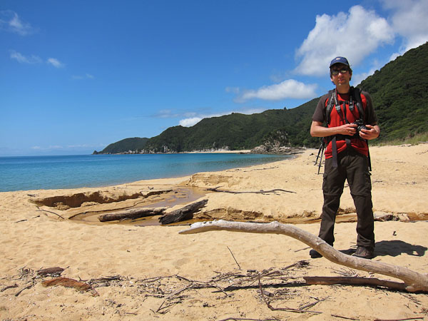
Wendy climbs up to the spot where I took the previous pic above. Looking back as we cross the next beach...
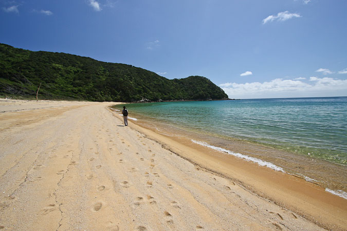
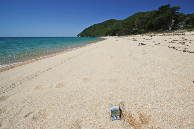
Not a lot of foot prints in the sand. Abel Tasman is a mega-popular tourist spot, but most people hike the south areas of the park, stopping at Totaranui. We started at Totaranui, and hiked north, crossing paths with about a dozen people all day...
Another cool bird walks past a kayaker...
A look back at the beaches we had crossed this morning...
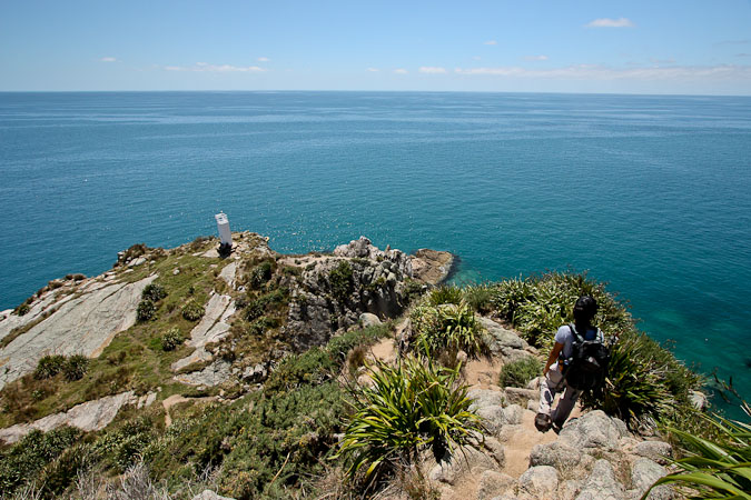
Separation Point is ahead, sticking out into the sea...
The descent down to the rocky landing of Separation Point was a bit of a scramble. There was another group of 3 guys sitting near the light house. We ate lunch on a big rock, staring down at the birds and snorkelers, hoping to spot a seal.
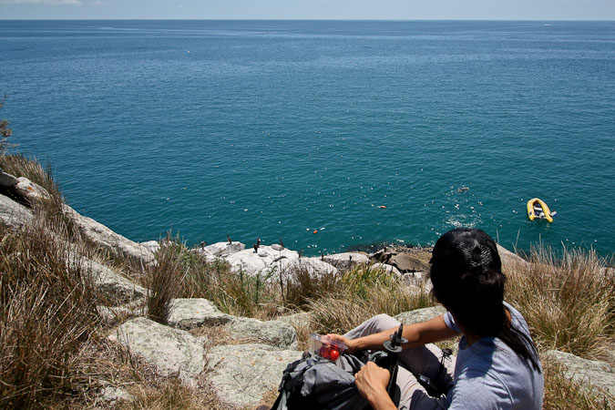
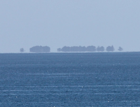
We had lunch looking out into the sea. I used my telephoto lens to investigate some mysterious ojects on the horizen. Looked like a floating city. I'm still really curious...
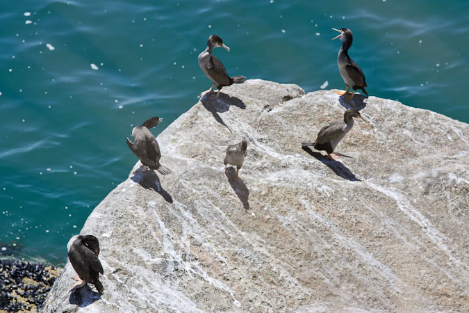
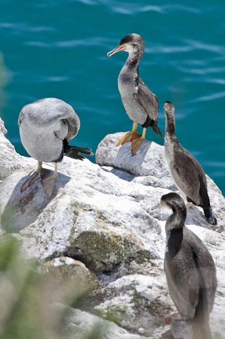
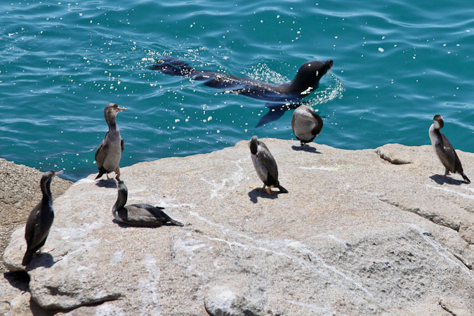
The birds were our main attraction, as we didn't see any seals during lunch...
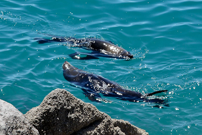
After a lengthy lunch, as we were about to leave, I saw a seal! We moved to a different vantage point where we spotted a few others, and hung out longer to observe.
We scouted around more, and found a seal den in this rocky nook...
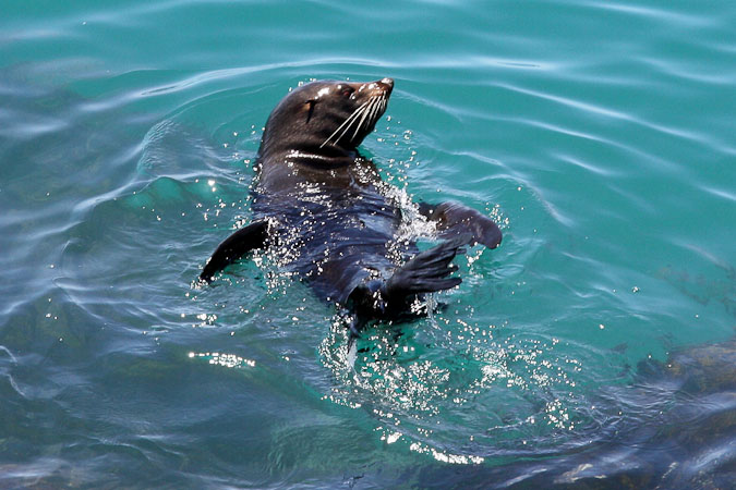
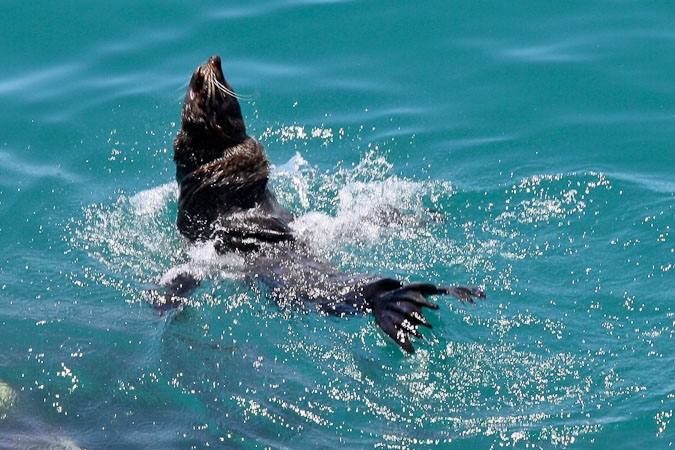
Some close-ups of a seal playing in the water...
After our fill of seal pics, we climbed back up and on to Whariwharangi, arriving at our last beach of the day ~2pm.
The trail stayed high through the forest as we now hiked west from Separation Point...
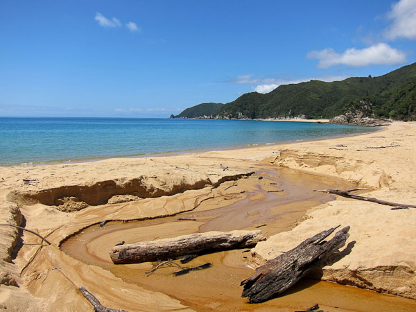
Eventually we got a view of Whariwharangi Beach below, our next destination...
Whariwharangi Beach was quite long, and had a layer of dead jellyfish washed up on shore. We had hoped to wade in the clear ocean, but decided against it, given the jellies. Wendy was drawn to the jelly fish, poking them with a stick, and was surprised they were pretty thick and solid (like tough gelatin), instead of slimy like jelly. She tried flinging a few back into the ocean, with her stick.
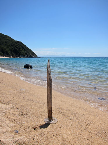
Looking east...
We explored the beach...
...and returned back to where the trail was...
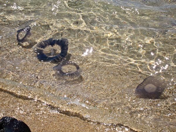
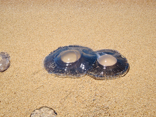
...and admired the dead jellyfish washing up on the shore. We had finally planned to take a dip in the ocean, but the jellyfish persuaded us not to...
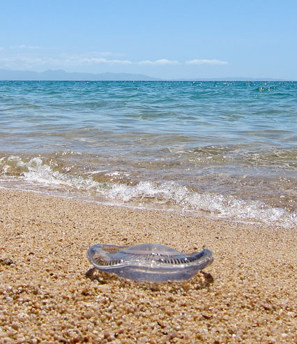
Jellyfish can be quite beautiful. Wendy must have thought this was a vampire jellyfish (she's been reading a lot of vampire books)...
Time passed, and it was time to leave, but I wasn't quite finished here, and asked if we could stay a bit longer to play with the jellyfish. I'm sure Wendy was surprised to hear me encourage the idea of toying around with dead sea creatures, but I needed a little more time to fully comprehend what I was about to do, and get a bearing on my nerves. I knew now was the time, and that I couldn't leave here, until it was done.
Wendy was deeply focused on the glistening jelliyfish, when I turned her around, dropped to a knee, and proposed. Wendy certainly didn't see this coming at the present moment. She took a quick second to register what was happening, and smiled (BIG smile). No doubt she'd think I'd have choosen to propose on top of a mountain. I was half surprised to be proposing on a beach myself, but I knew it was the right moment. It was just us, the brilliant blue skies, blue-green ocean, vast sandy beach, and hundreds of dead jellies along the surf. She said yes. Wendy loved the token large blue "gem", which I picked up at a dollar store in NZ (the day we visited Hobbiton). She had said she wanted a big beautiful blue rock, and I sure fulfilled most of those categories...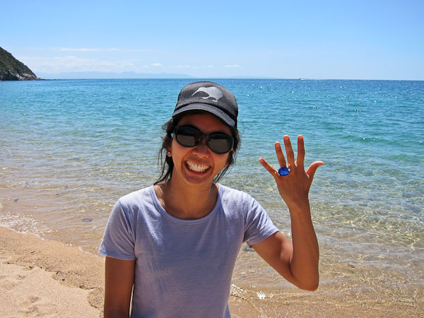
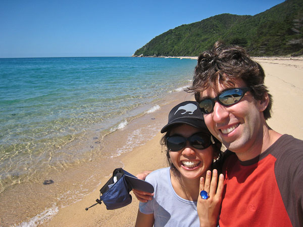
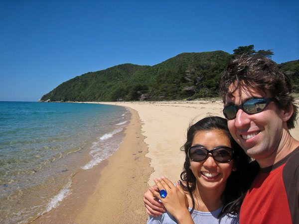
A couple of self portaits, to mark the occasion...
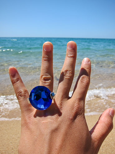
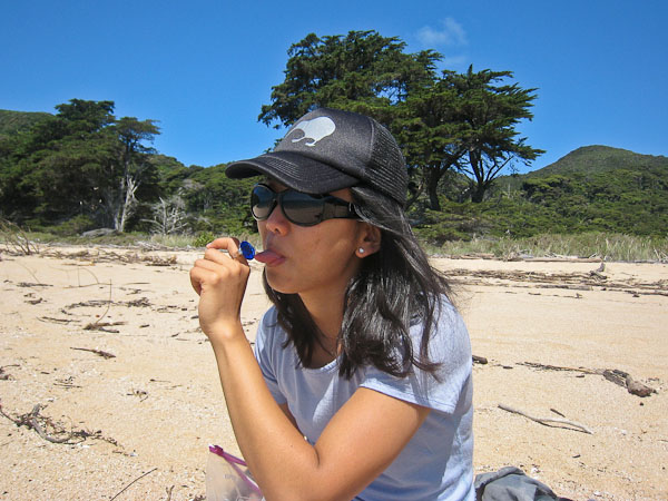
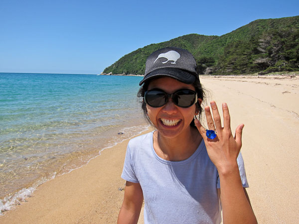
Wendy loved the ring, which is without a doubt THE BEST, most spectacular looking ring that $2NZ will get you. It sure held it's own against the scenic backdrop. Wendy considers giving it a lick, as is customary with most rings of that size...
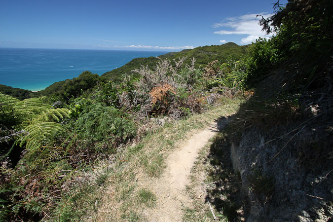
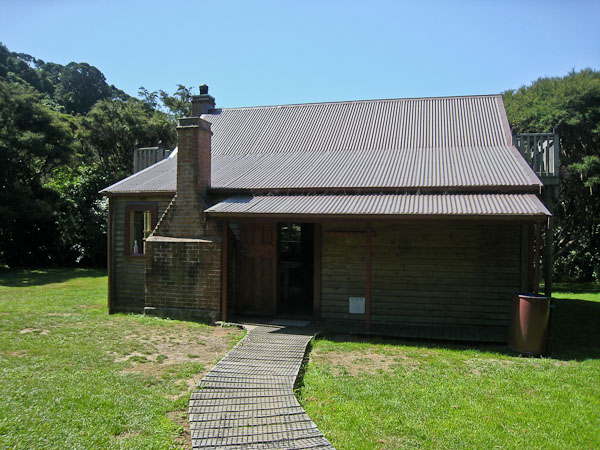
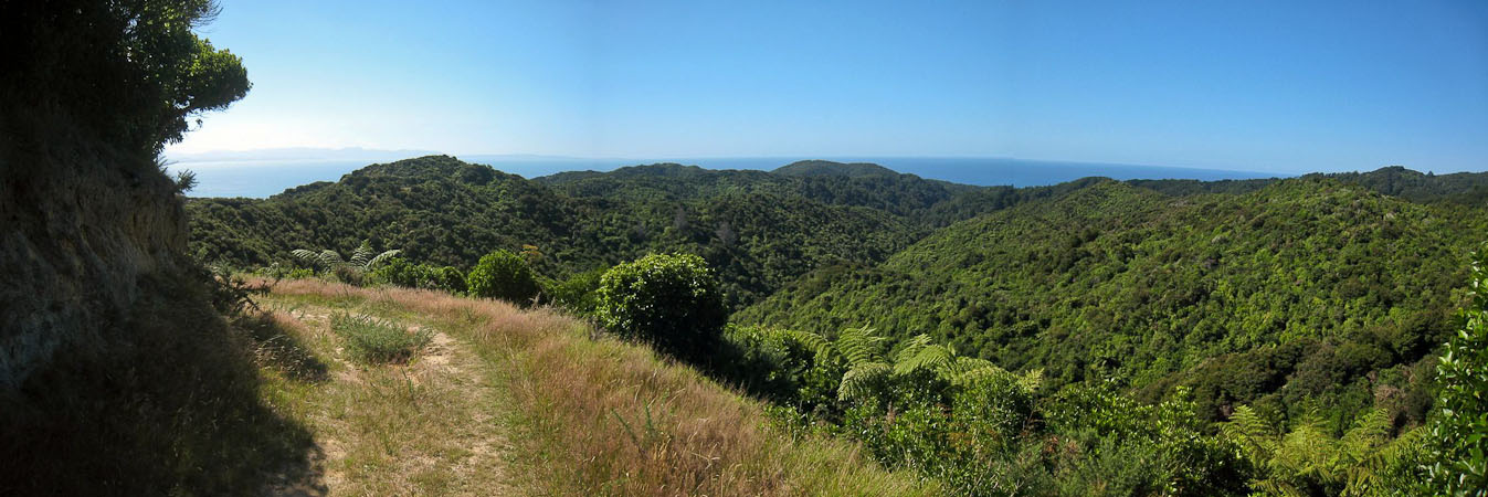
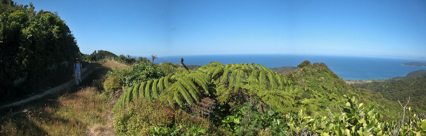
After taking plenty of celebratory photos, we started our return, first visiting a hut nearby to fill up on water and to use the restrooms (flush toilets!). We opted to take the high road back, via Gibbs Hill Track, which was a long and mostly gentle climb. Got some good views of the bays around Abel Tasman. It took at least 2.5 hrs to return back to the parking lot, and 8.5hrs total round trip, including 2 large breaks at Separation Point and Whariwharangi Beach.
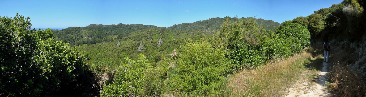
We hiked back into the forest..
...and gain almost ~1800' of elevation...
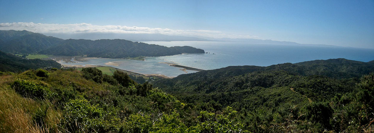
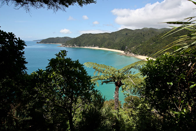
Views of Wainui Bay were pretty...
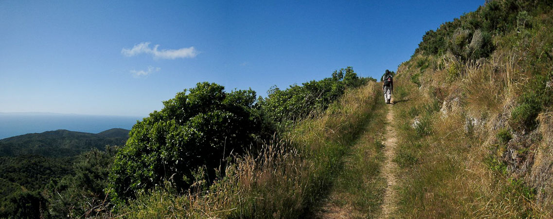
We worked our way up Gibbs Hill...
Wendy's iphone GPS actually had this trail on it, which was helpful at one point...
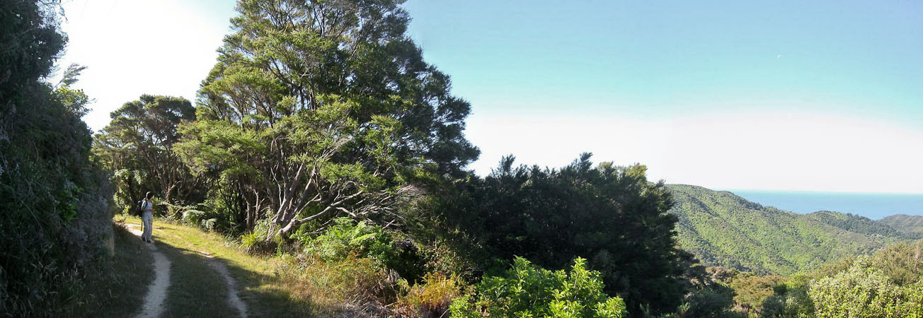
The hike back from Whariwharangi took longer than I had expected, but the weather was splendid...
After the drive back to Takaka, we visited the Pupu springs (the largest, clearest spring in Australasia), but the sun was too low at 7:45pm for us to see anything. We might stop by tomorrow.
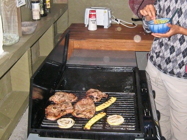
Back at the hostel, we cook dinner. It's another feast! Salad, yams, guacamole, sauted mushrooms, and lemon/rosemary/mustard marinated lamb on the BBQ. Excellent! Honey yogurt for dessert.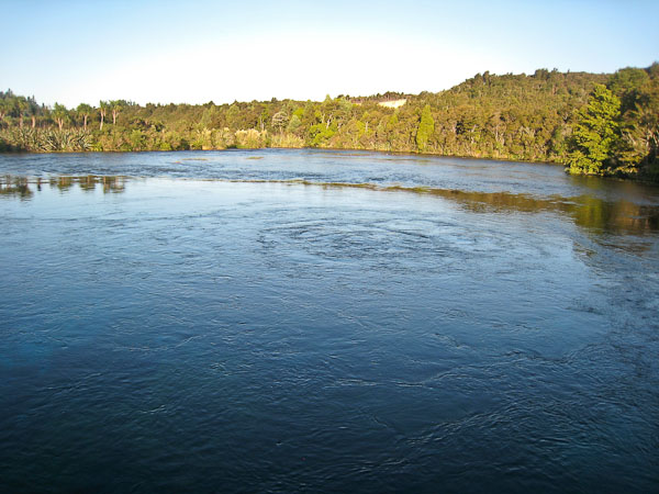
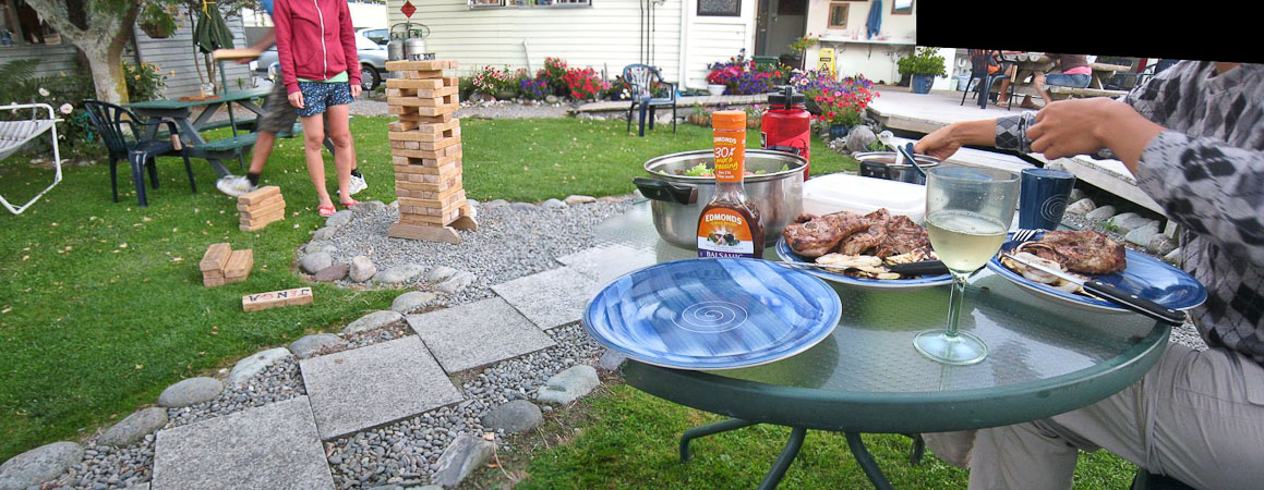
Kiwana Backpackers has a giant Jenga game. We watched some people play during dinner...
Hot showers felt great after our big day. Need to find a weather report tomorrow. Our itinerary is a somewhat blank slate from here on out...