

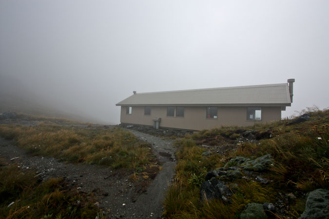
9:54am. Pass Hut
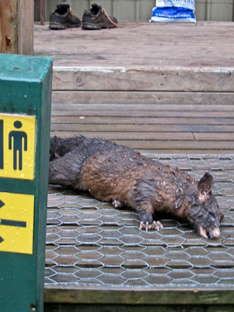
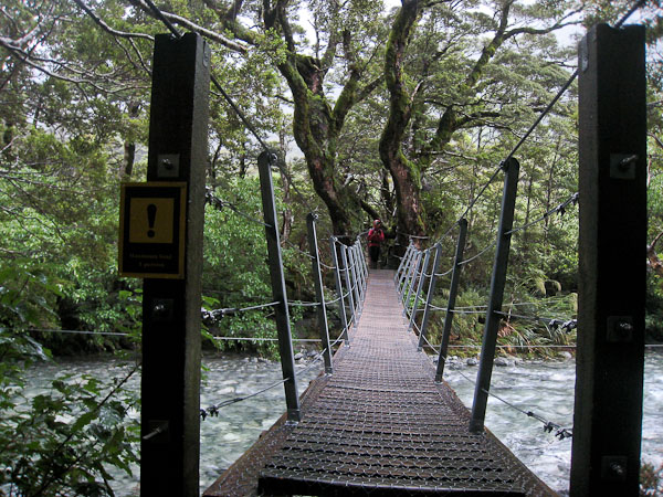
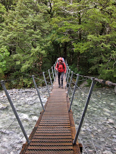
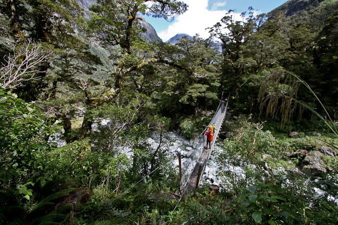
At least the rain stopped, but we're still waiting for some visibility. Slept ok, but the bunks abutted end to end, and a tall guys feet were jostling near my head from time to time (I probably should have oriented the other way). I was up at 5:30am, and waited for Wendy's 6:30am alarm. The kitchen was active by 6am. We were the 1st up in our bunk room, and the rest got up shortly after. The rain stopped. A low cloud ceiling shows thinned waterfalls on the cliffs. It's chilly out. The "Do not leave hut" sign has been taken down, so the trails should be good to go. Cereal for breakfast. I try to tape a seam in my rain pants, which chaffe when I walk (as I found out yesterday). Wendy was about to hike in shorts but changes to pants, and is soon very glad to have done so. The ranger displayed a dead possum on the steps outside the hut (caught by a trap no doubt). We're on the trail at 8:15am, hiking in light rain through beech forest, and across a narrow, "1 person max load" suspension bridge. Then the switchbacks start winding up to Mackinnon Pass, the highest point on the track. Today, Day 3, is the big "money day" as far as scenery on the Milford Track.
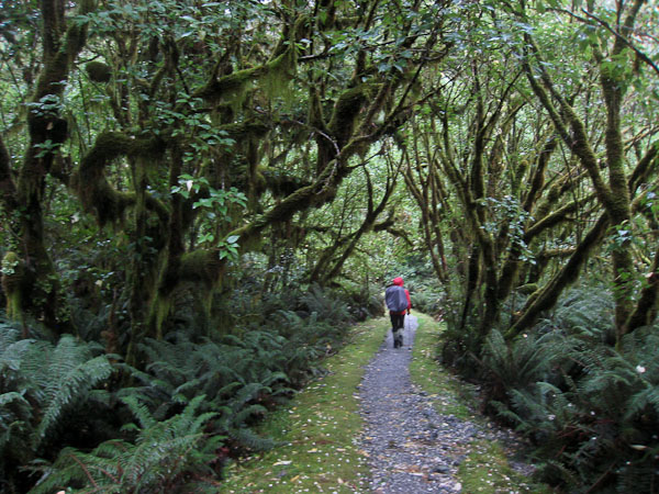
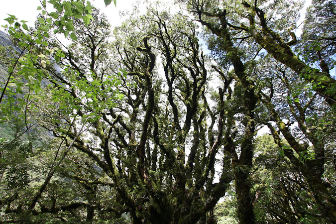
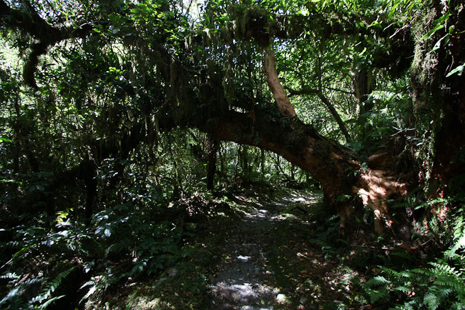
Cool trees in the forest. Lots of vegetaion in this wet valley...
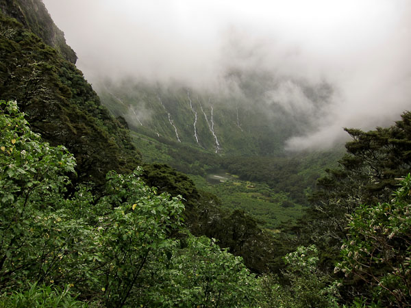
There are some views of the valley as we start the climb, and soon take off a long sleeve layer. I bring out my DSLR, as the rain threat seems low.
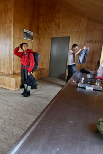
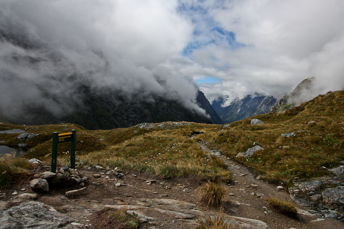
We then climb into cloud, and lose all views of the valley below. It gets much chillier as we push up to the cold and breezy saddle. We ascend up the foggy ridge, passing a group of hikers. I'm cold, but don't want to stop to put on more layers, so I make a "sprint" for Pass shelter, a few minutes ahead, where I arrive to the empty room, and start heating some water on the 2 burners provided. When Wendy arrives, we sip on hot honey water, and have some snacks. Since there are no views, we decide to hang out here for awhile, as more people join the shelter. Wendy poaches an egg. The rest of our "fellowship" arrives, hmm, maybe there's time for cards?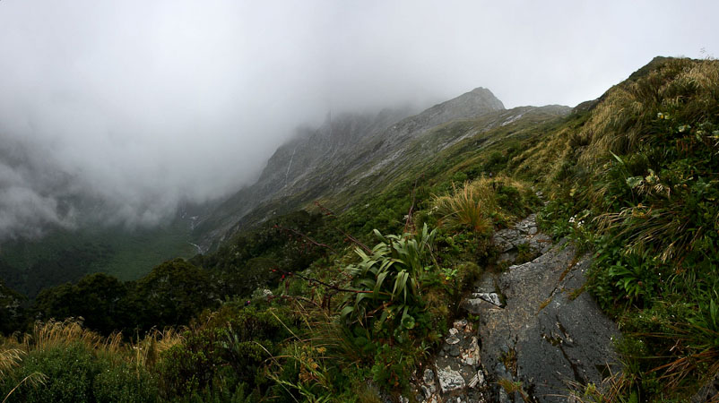
The clouds did not lift. It was cold and breezy. We booked it to Pass Shelter, a short ways long the ridge...
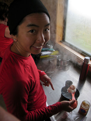
Wendy cooks up a poached egg, using one of the gas burners in the shelter. Pretty convenient! Every was cooking up some hot water to sip...
7:21pm, Dumpling Hut.
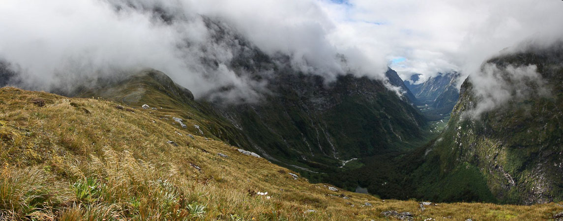
What a pleasant surprise today has been… We hung out at the hut for 1hr 15min, but the clouds held thick. Many people were heading on with the hike, but Wendy and I stayed longer, hoping for signs of a clearing. Finally we put on our jackets, hat, and gloves, and stepped out into the chill, light wind. Once in a while, partial view of the valley would appear below, but after waiting longer, we eventually started the descent down the other side. As we descended the first 70', tiny patches of blue were appearing above, and the valley below was opening up. We stop on the trail and wait, as the skies slowly improve. Then we see Kurt and Rebecca hiking back up towards the saddle. haha! We're not the only ones that were considering hiking back to the top. We join them on the walk back to the shelter, and now the clouds are rapidly thinning offering views down both sides.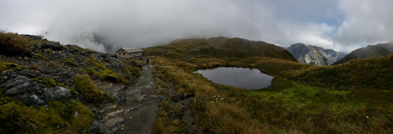

A look down at the vally we hiked during the last 2 days, and this morning. We could make out a hut in the distance...
We all decide to hike back to mackinnon Pass, to experience the height of the Milford Track with (hopefully) a clear view. Leaving our packs in Pass Shelter, makes the walk easier. We are all excited at the thought of resurrecting our highly anticipated dramatic view from the most prestigious hike in NZ.
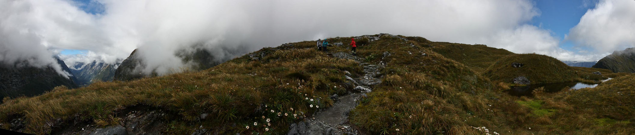
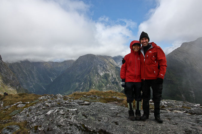
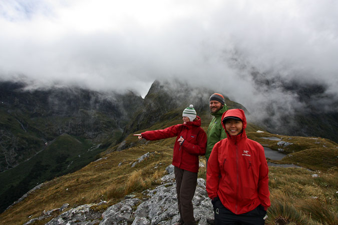
Wendy and I atop Mackinnon Pass. Rebecca and Kurt also returned for the view. We were all celebratory of the clearing skies, to behold the prime views of the majestic Milford...
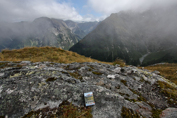
14ercards ($6.95) makes an appearance at Mackinnon Pass too...
High clouds still shroud the peaks but gorgeous views appear in the valleys. Then warmth hits our face. Sunshine! The grass turns gold in the morning light. Tall cliffs and waterfalls appear across the valley. We celebrate these fabulous views, and head back down to the hut. I check the view from the latrine, billed as the finest view from any toilet in NZ.
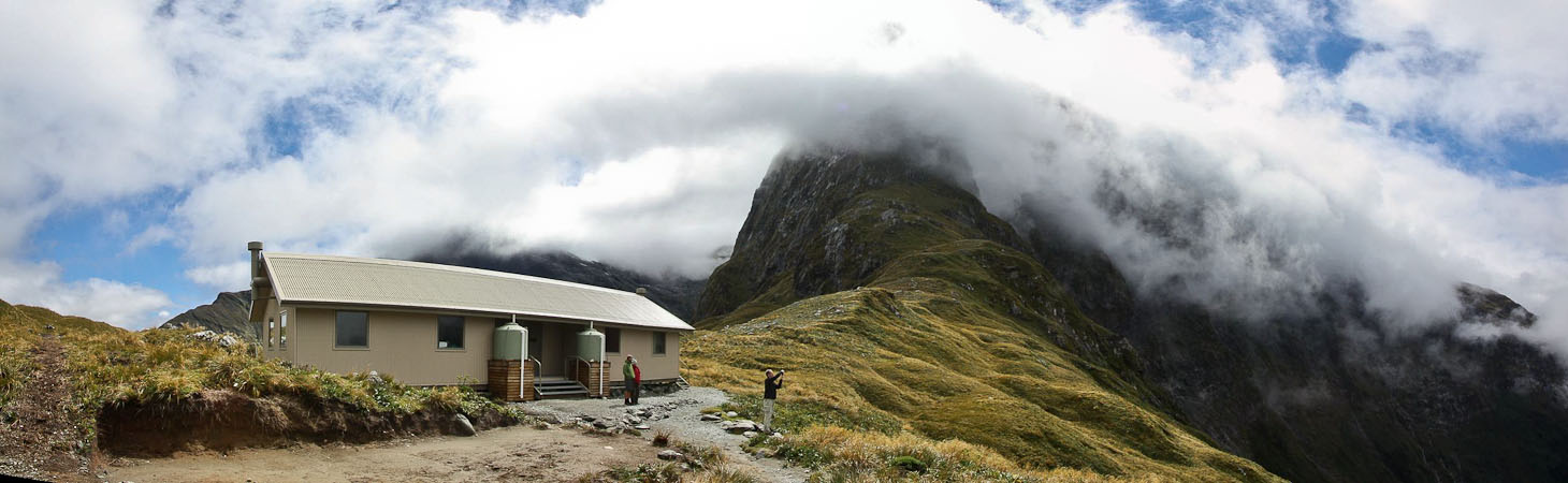
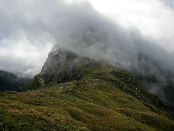
I was hoping the clouds would lift to catch the peak above Pass Shelter, but the clouds held strong...
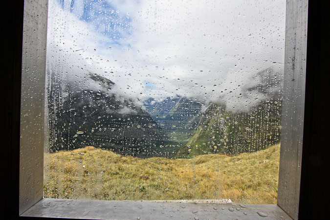
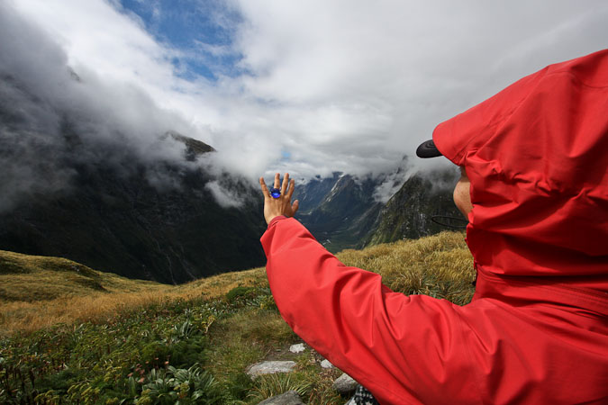
Here is a view out the window of "the restroom with the best view in NZ". Wendy poses with "the ring" (so blue in the sun!)...
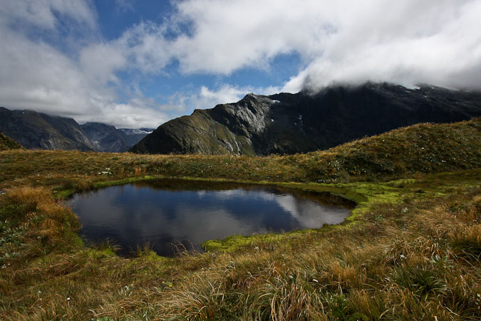
More views from the pass, before our descent...
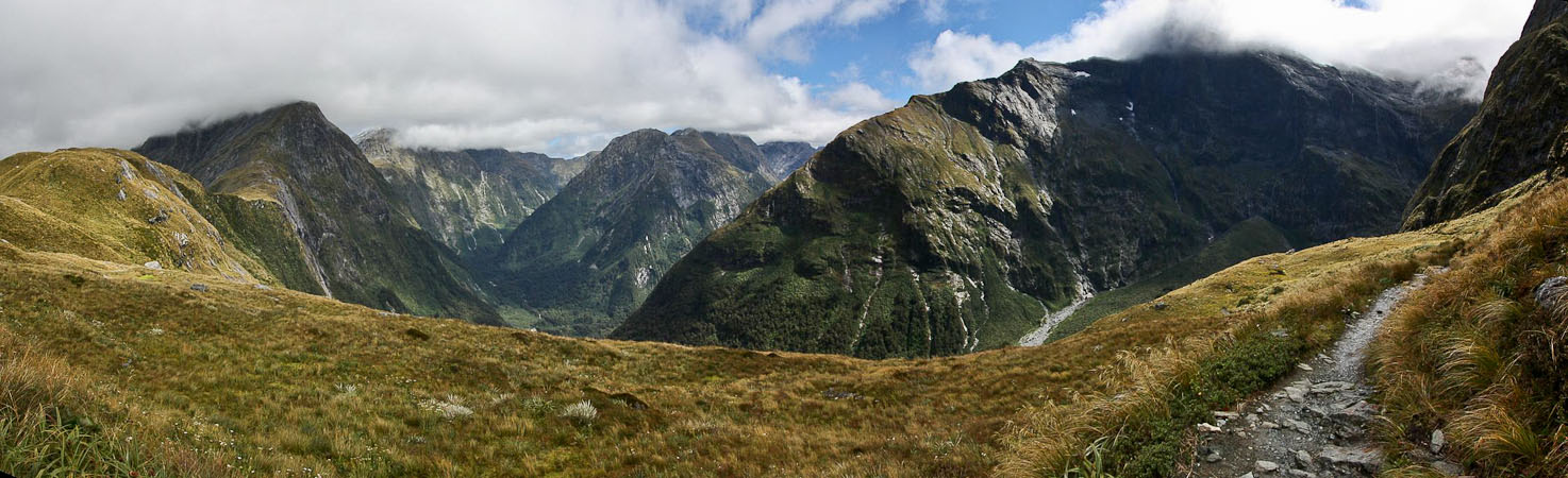
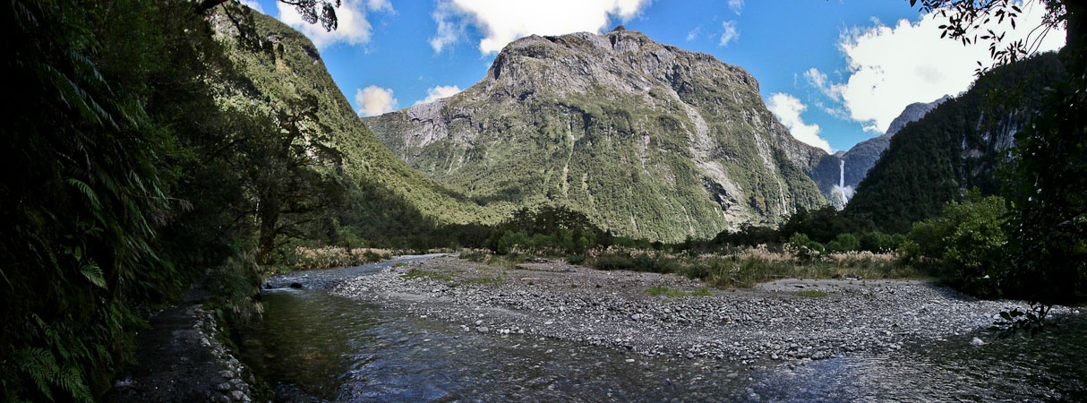
I was tempted to wait longer, in hopes of the clouds lifting from the peaks, but the clouds look strong, so we start our descent in the sun. Soon I have to take off my hat and a layer. Ahead of us, across the valley, is a towering mountain, with dozens of waterfalls threading down the dark steep rock walls.
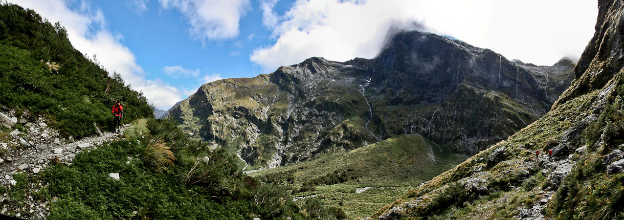
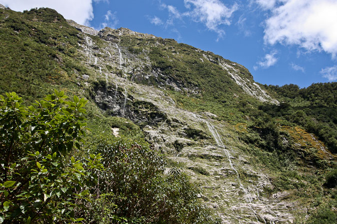
The skies continued to clear, revealing a plethra of waterfalls on the mountain ahead of us...
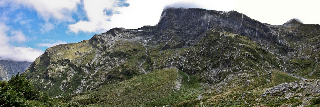
So many thin waterfalls streaming down...
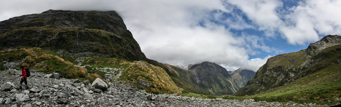
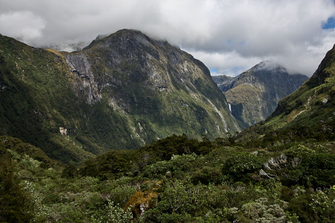
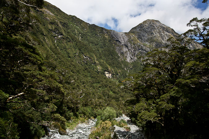
We descended from the ridge in the center of the pic, and would turn the corner here to continue down into the valley...
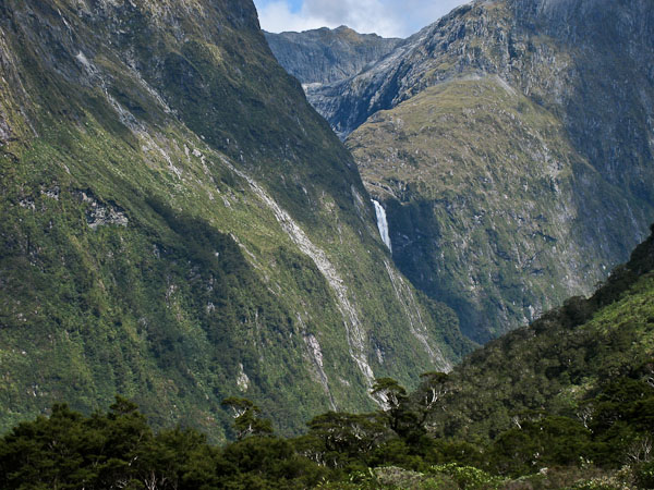
We caught a peak of Sutherland Falls ahead...
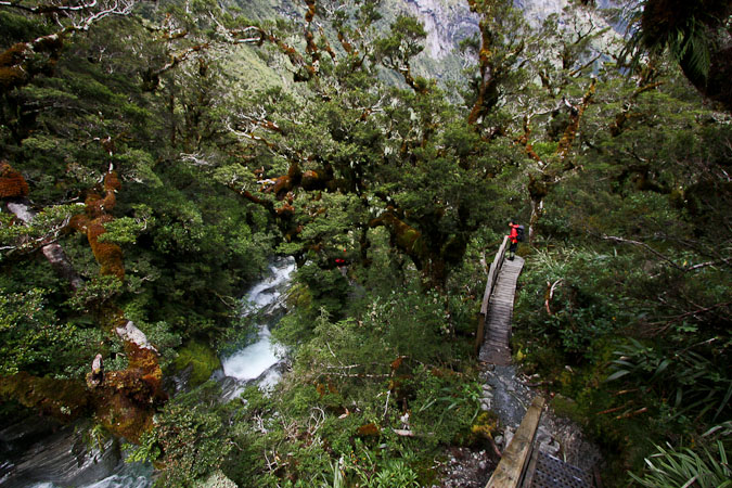
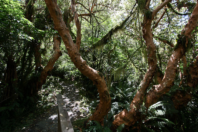
After descending several switchbacks, we cross a bridge, and follow a beautiful cascading stream along an elevated boardwalk. It feels like we are in a Swiss Family Robinson tree house, walking high off the ground among the exotic trees.
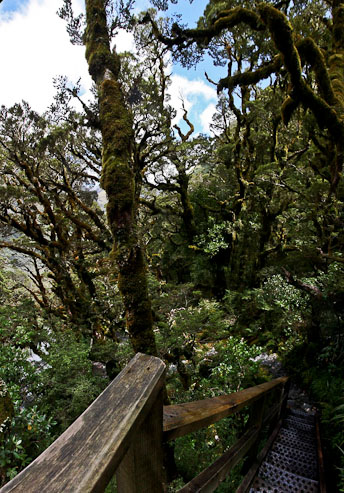
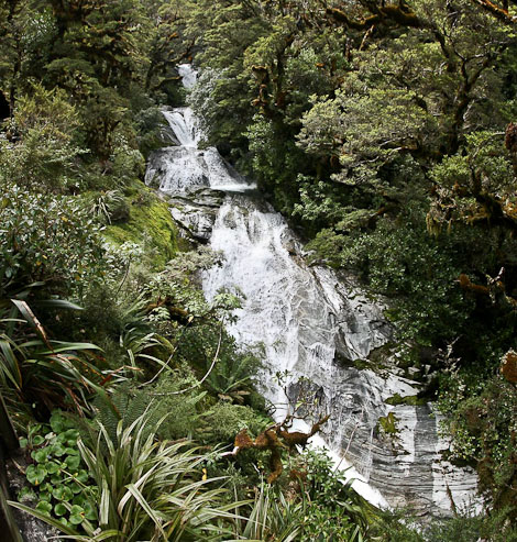
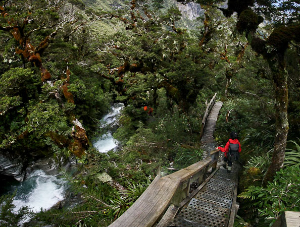
The elevated boardwalk made for an easy descent over the lush forest and cascading stream...
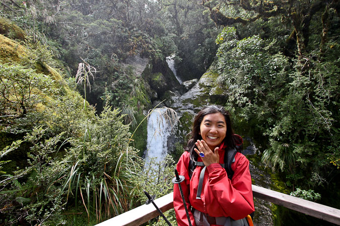
Wendy poses with the ring again...
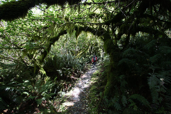
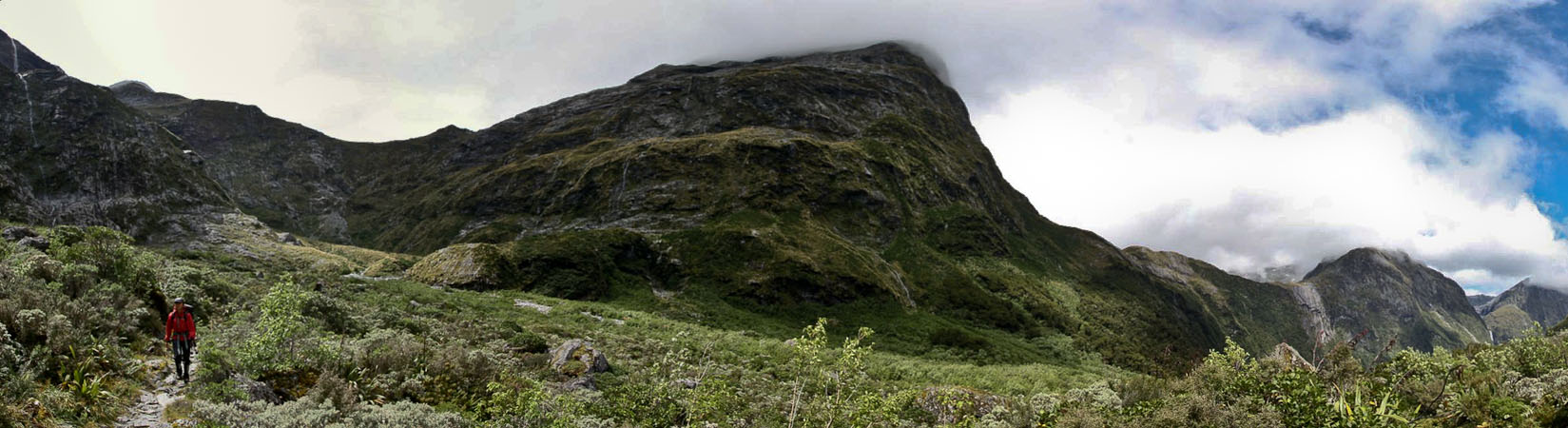
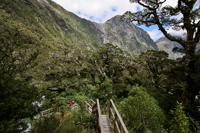
1st pic: A look up at the sheer cliffs below Mackinnon Pass (where we were earlier today). More awesome and mossy forest...
The trail descends through more forest, until we finally reach a hut for the guided trampers, 934m below Mackinnon Pass (over 3000'). There is a shelter (with free cookies) for us to leave our packs for a 90 minute RT side-hike to Sutherland Falls.
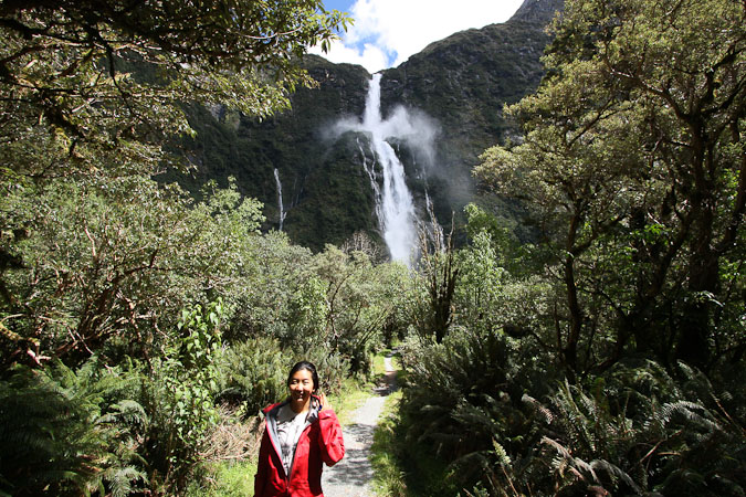
Sutherland Falls is ~1700' tall, once thought to be the tallest in the southern hemisphere. The trail lead through a dense forest, with no views until we neared the falls. Ahead we could see the massively gushing falls still well in the distance. As we neared, we saw water dripping from the trees, and then felt fierce wet winds. I waited behind with the camera in a plastic bag while Wendy investigated. She came back soaked, and said she couldn't see anything do to the heavy mist. It ventured forward, but quickly turned back, after it felt like I was walking into a carwash. The recent storm resulted in too much water power in Sutherland Falls for us to get a good look up close today…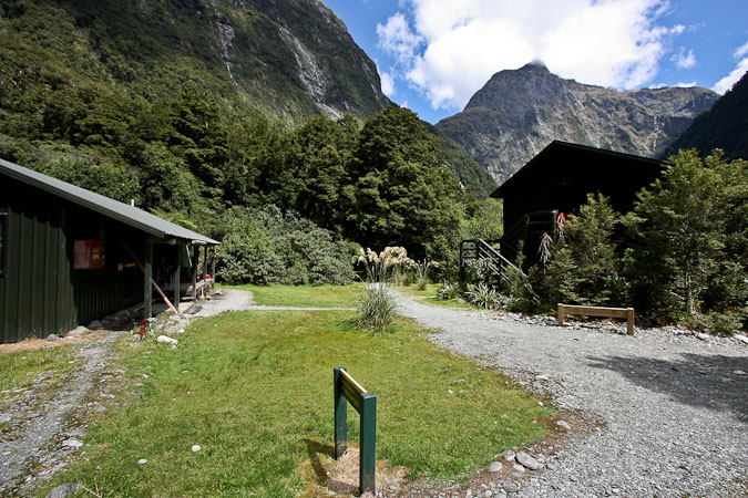
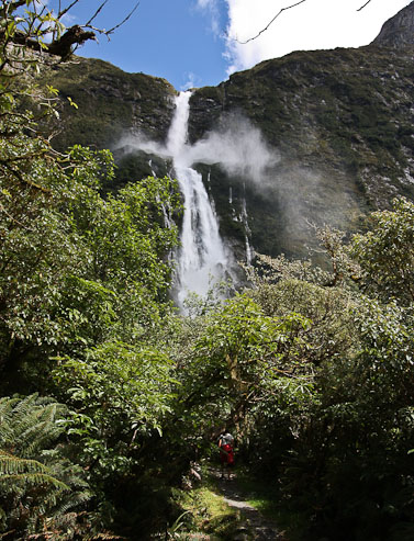
Wow, Sutherland Falls is certainly a behemoth! ~1700' tall!
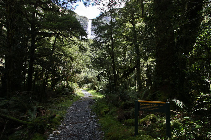
We couldn't get very close, due to the massive spray generated from the gushing falls. The sign in the 2nd pic says "the distance from this point to the base of the falls is equivalent to the height of the falls." Puts the enormity in perspective...
Back at the shelter, we changed into shorts, and started on the final few kms to Dumpling hut. Wendy had a 4 minute head start on me, and I never caught up with her the whole way. I did stop for some pics, but still, I was impressed with her speed...
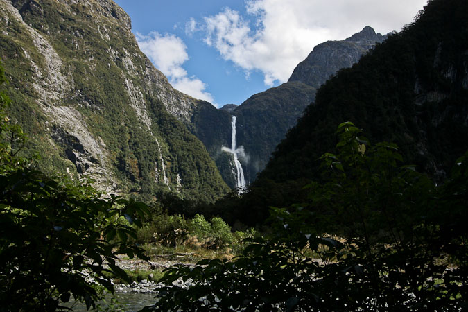
A zoomed out view, with Sutherland Falls on the right...
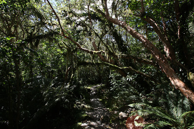
Some cool trees on the trail...
Wendy was the first to arrive at Dumpling Hut today, and grabbed 2 low bunks that didn't have an upper bunk above them. This would be my first time sleeping on a lower bunk!
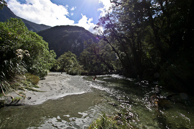
We hung up our wet socks to dry, and made out way to the "swimming hole" nearby. It was HOT out this afternoon. We had the scenic stream to ourselves. The water was chilly, but refreshing, and much warmer than Lake Mackenzie on the Routeburn. Wendy went all the way in, while I just walked out to my knees and took photos…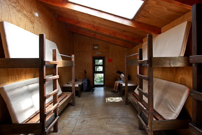
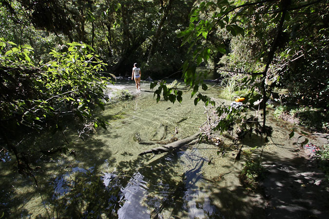
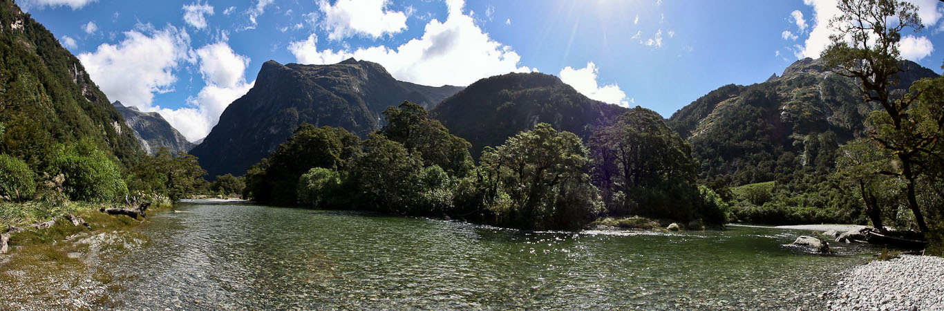
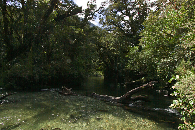
The stream was calm and clear...
Wendy joyously cooled down and bathed in the stream. It was quite a serene spot...
When we returned to the hut, many hikers were arriving, and asking where the swimming hole was. We checked out the lounge/kitchen, and cooked up some WG with 2 poached eggs, and yams for an early dinner.
Kurt, Rebecca, Ivo, and Femke joined out table, and we finished our 6-handed Euchre game (girls won). We played another (won by the guys).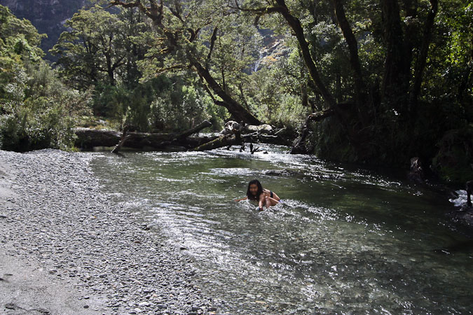
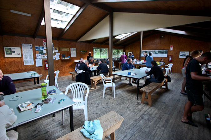
Lots of pre-packaged meals were being cooked in the kitchen. Wendy and I are getting ready for our 2nd dinner. It's cool outside now, as the sun can't reach us deep in this valley. The "hut talk" is about to start soon…
10:10pm Dumpling Hut The lounge/kitchen was very active this evening. We cooked a huge pot of butternut squash, and used up a packet of salmon. The butternut was a luxury, after so many meals of yams. We give the rest of our dehydrated yams to Femke and Ivo. They, along with Rebecca and Kurt, were very interested in our dehydrated meals, and will likely be buying their own dehydrators in the near future. The warden gave the hut talk, mentioning that most injuries happen on this side of the pass, during the 1000m descent, and that if we made it injury free so far, the rest of the way shouldn't be a problem. The warden spent all day repairing part of the trail that got washed out by the storm last night. He said the storm turned out to be pretty minor, just ~115mm of rain (4 inches). Someone in our group hiked the Milford 47 years ago! Impressive. It was a much tougher hike back then. The elevated boardwalks were installed until the 80s…
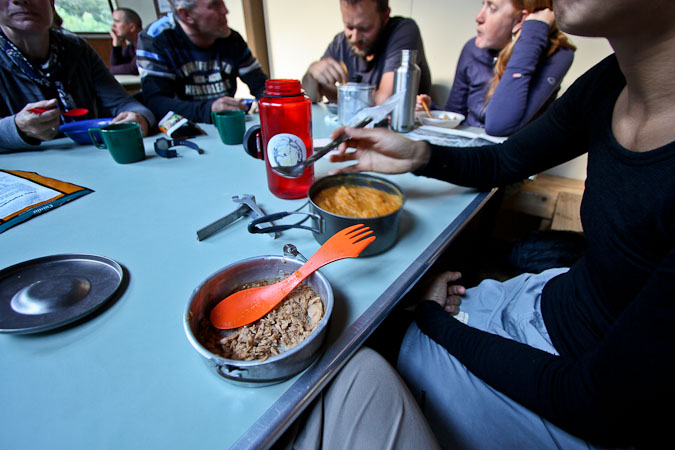
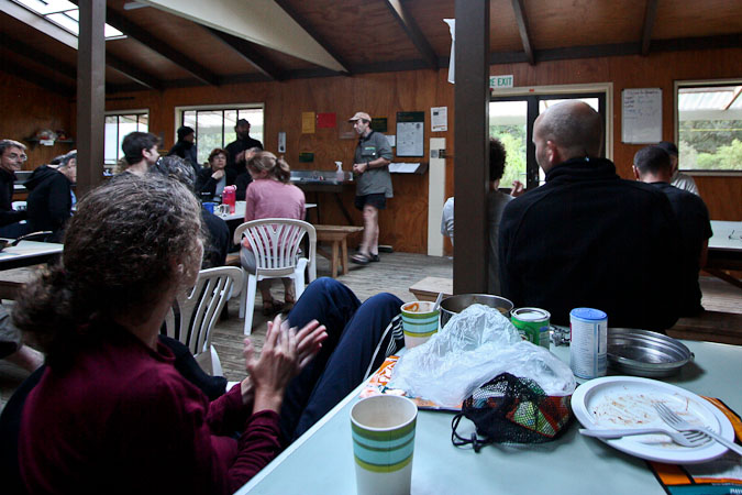
Salmon and a big serving of butternut squash for 2nd dinner. 2nd pic: The hut warden gives his "hut talk"...
Wendy and I make some pumpkin pie filling for dessert. It seems much lighter out tonight, due to the clear skies. The weather forecast was wrong for today. The rain certainly didn't increase this evening. I might check out the night sky, if I'm up tonight.
Will tomorrow stay fine? We'll see. 6:30am wake up. Lots of people are getting up early tomorrow, to be sure they catch the 2pm boat from Sandfly Point…