Trail stats:
distance: 10.5 miles roundtrip
starting elevation: 8082'
summit elevation: 11250'
Bill, Wendy, Deepti, and I drove up along the gushing Big Thompson river, and arrived at the car park ~30 miles from Fort Collins.
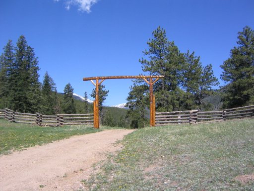
After ~1/10th of a mile into the hike, up a gentle dirt road, to get to the official trailhead, Bill and Wendy decided they had enough of the hike, and turned back to go horseback riding in Estes Park.
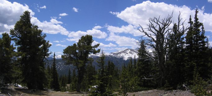
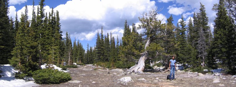
Had they continued to the end of the road, this is what they would have seen.
The trail climbed the side of the mountain for the first mile.
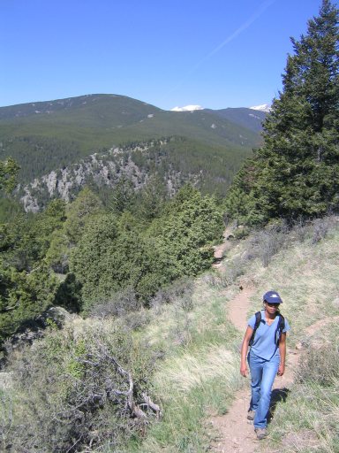
Good views along the way.
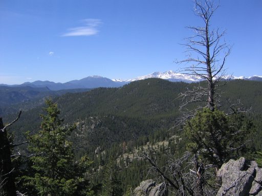
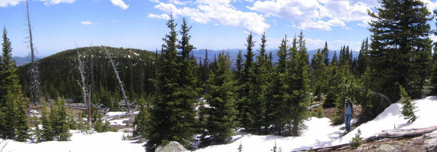
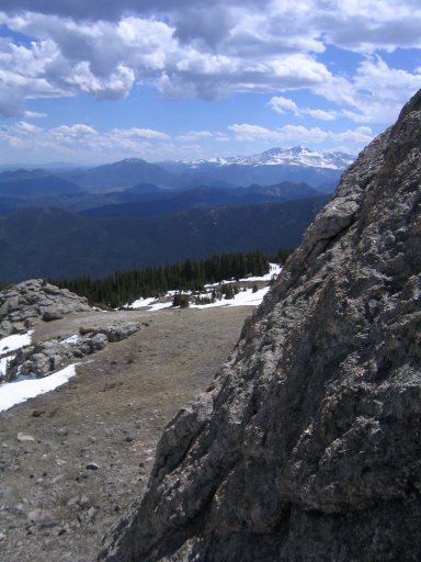
Once we got to the top of the ridge, the slope eased.
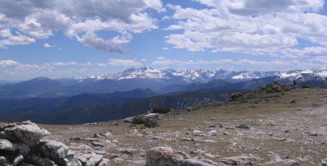
There was a lookout towards Long's Peak.
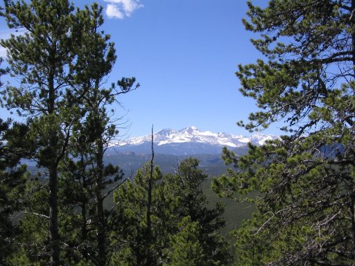
Twin Sisters on the left (which we hiked last weekend), Long's Peak on the right.
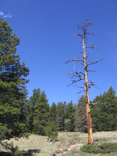
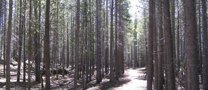
The trail stayed surrounded by trees all the way up the ridge for several miles. It was quite unchanging. Deepti and I were both thinking it was a good idea that Wendy and Bill turned back, cause you needed to be a pretty hardcore hiker to enjoy this long part of the hike.
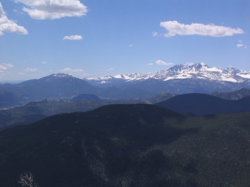
After a very long time, when we thought we were only 30 minutes from the top over an hour ago, the trail opened, and we saw the summit ahead (on the right), past a small valley.
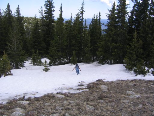
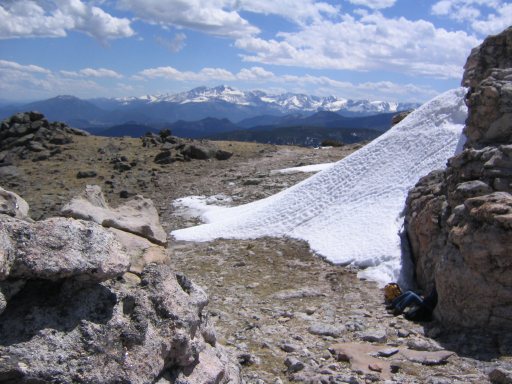
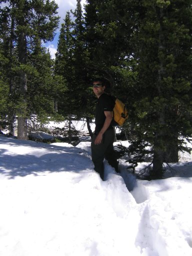
We headed down the valley, through lots of snow that hadn't melted yet. We passed a group of 4 people who had just turned back due to "waist high snow" and no trail.
We continued on, determined to make our own way to the summit, and arrived at the open valley.
We had to negotiate the thick patches of snow between the trees, but made our way up.
The final snow crossing was one of the deepest.
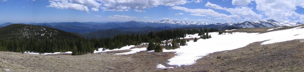
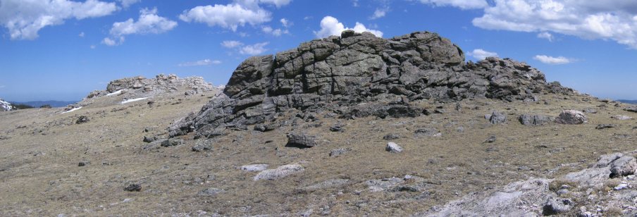
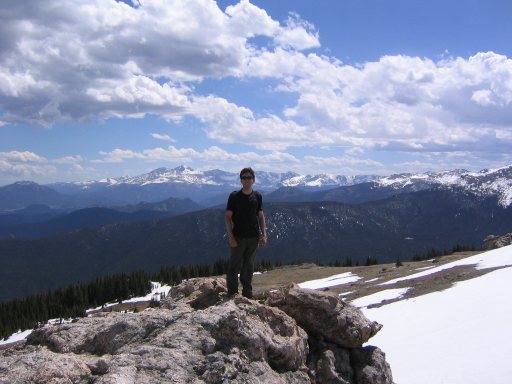
But finally, we got to the side of the summit. The summit was a large treeless area.
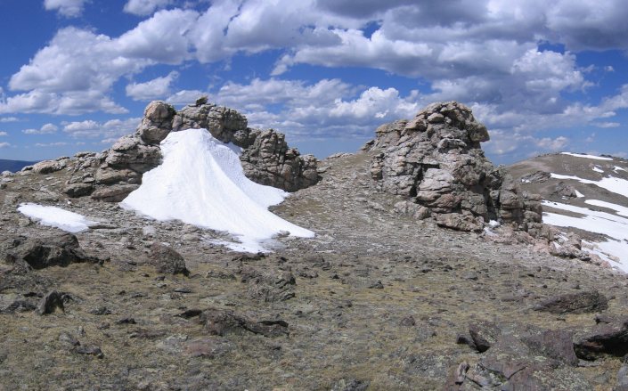
There was an awesome rock formation that reminded me of Weathertop from Lord of the Rings. Fortunately no Ringwraiths attacked us here.
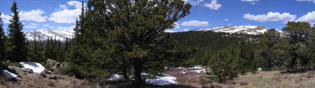
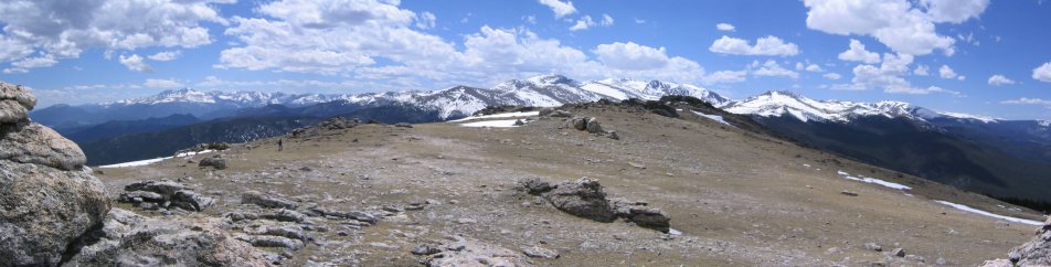
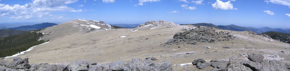
The summit was very vast. The Mummy Range in white spanned in front of us.
It alomst seemed like a plain. On a less windy day, you could play some frisbee up there (I did bring one).
Once again, Long's Peak, and Twin Sisters
We ate lunch at the entrance to Weathertop.
Had to climb a rock...
It was time to head back after ~45 minutes at the top. Could have stayed up here awhile, but we didn't want to keep Bill and Wendy waiting for us once they finished their horseback riding.
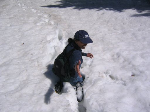
We hit the snow again on the way down, and Deepti slipped and got stuck. She turned around and reached for help, only to find me with camera in hand, documenting this important event in the journey.
Deepti navigated us down the mountain trying to avoid as much snow as possible, and back into the open valley...
...and right in front of the marking we made so we could find the trail on the way back.
We headed back, through more snow, up to the ridge.
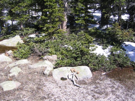
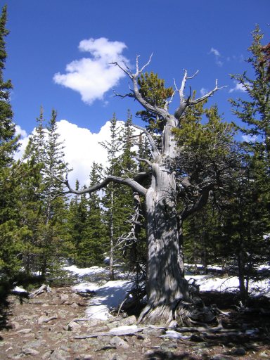
This tree looked like it had lots of hands.
We took the easy (and long) ridge trail back. But it didn't seem long, and the conversation was fun. And I kept trying to convince Deepti that she should stay out here another 2 months (if you know her, you should encourage her to stay here, and come out and visit).
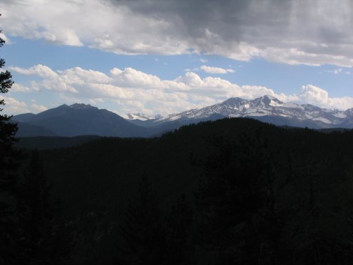
The sky got a bit darker as we reached the final mile down the side of the mountain. And we heard some thunder.
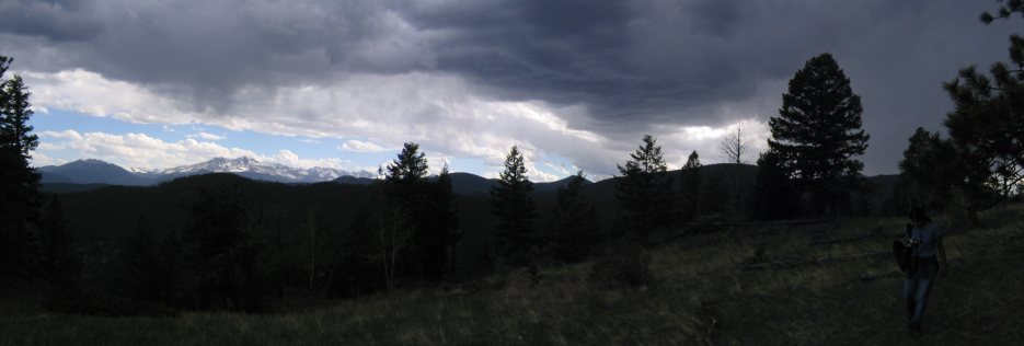
I was hoping for the rain to cool me down, but the first drops didn't fall until we were about 50 feet from the car in the parking lot.
Overall it was a very enjoyable hike. The trail was long and not as exciting as some of the others, but the vast summit was unique and made the hike very memorable. If I try this hike again, I'll take the trail from the other side of the mountain.
Bill and Wendy ended up enjoying their horseback riding, and took a small hike in Rocky Mountain Park to a waterfall, in addition to the .1 mile, 36' elevation gain hike they took with us. :-)