I packed up and drove to the north Canyonlands entrance: Islands in the Sky, while my brother slept more. It was a bit cloudy, and rained just a bit. There was a feint rainbow on the left of this shot.
Arrived at the visitor center before it opened, and saw there was no water, other than a vending machine. Good thing we filled up the gallon jugs before we left camp.
It was still early, and looking east was difficult. Color was poor.
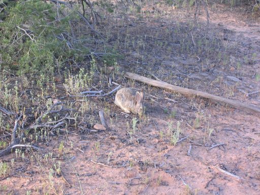
I drove to the Mesa Arch trail (.5 mile out and back), and hung out for a bit, and woke up my brother for the hike. Saw this fat rabbit on the trail. If it eats lizards, I can understand why it would be so fat.
We got to the arch in a few minutes. Nick looks through and down the 500' drop on the other side.
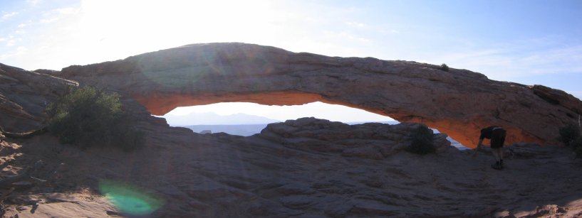
It would have been easy to climb on top, but with a 500' drop behind, it was not a good idea.
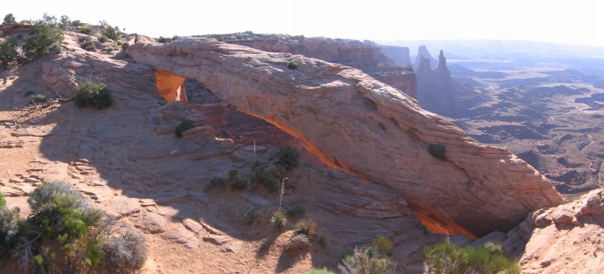
A view from the other side of Mesa Arch. I kept having to wait for the people in the background to get out of the way, to get pics of this arch.
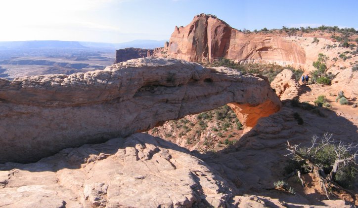
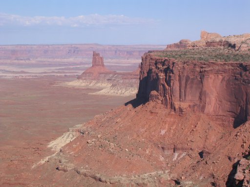
The Mesa Arch, from a distance.
Next we drove to a lookout looking west. A little Wile E. Coyote-ish.
Nick (on the right) climbs a rock near an overlook.
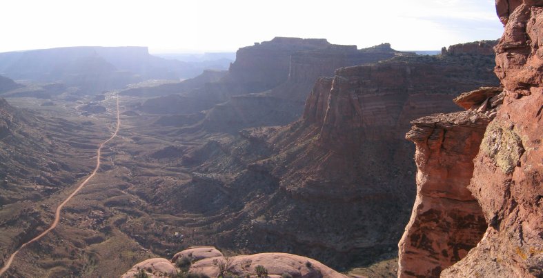
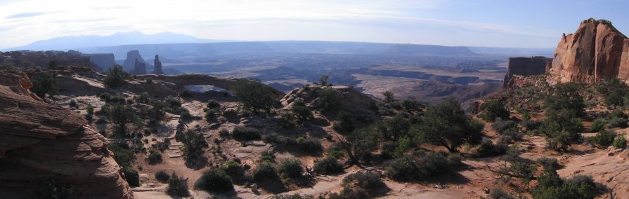
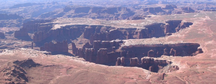
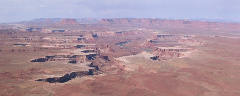
On the south side of the park, was the "Grand Overlook". Definitley looked like some water erosion has been going on. You can see an "island" on the right. These "islands" are 6000' plateaus, and the white rock valley below is 5000', and then the water etched canyons below are another several hundred feet deep.

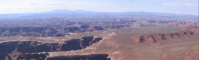
Out in the distance, to the south, lies the Needles part of the park, where we hiked yesterday.
It would be pretty amazing to go down and explore the canyons. I think you need a 4x4 car to get down there. The single pillar on the left here is called "Totem Pole". I wonder how tall it is...
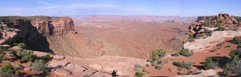
We drove to an outlook to the west, and saw another canyon etched into the white rock layer.
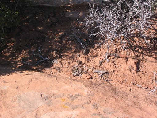
On the way back, we stopped at Upheavel Dome, and I went on a short hike/run. Saw a couple of lizards. This one had most of its body colored to match the rock. (a 2nd one is in the shadow).
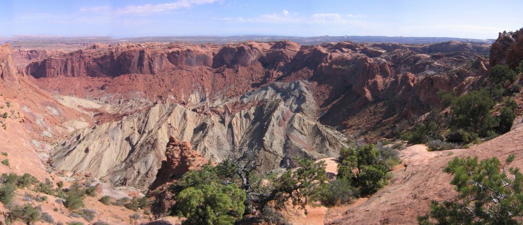
Upheavel Dome was this huge grey salt mountain, that was from an ancient sea, and might have been caused by a meteor impact.
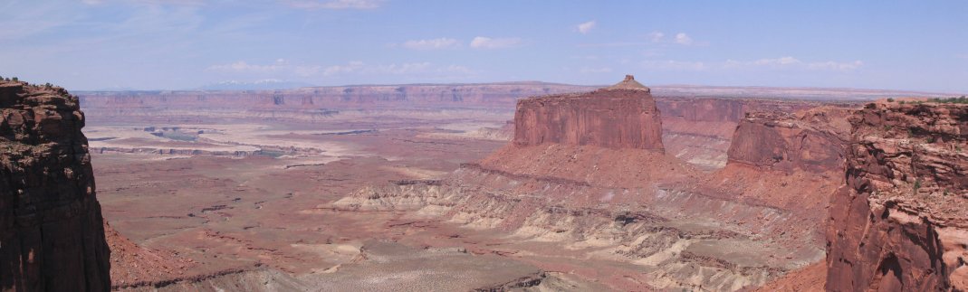
One more overlook before we left. There was green grass growing on the top of that pillar/mountain.
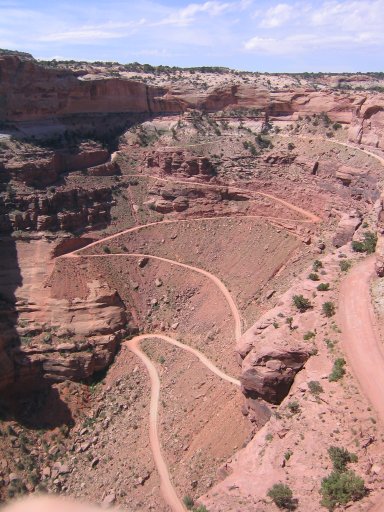
Check out this 4x4 road to get down to the lower flat land. Not for the Ford Focus.
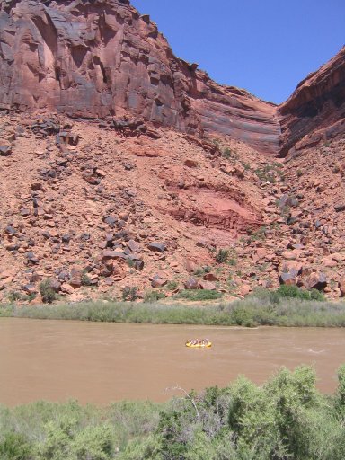
There were some rafters coming down the Colorado River.
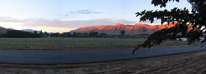
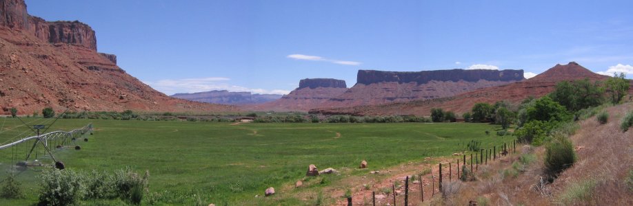
The lush green watered field, in contrast to the dry red rock, warranted a picture.
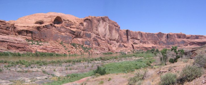
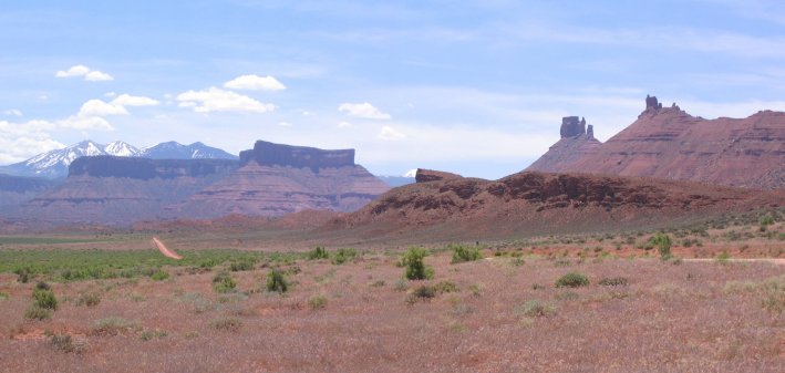
Some cool rockscapes, and one last look at the La Sal mountains.
The rest of the trip back was on I-70 with the same scenery as when we drove out, though from a eastbound perspective. A CD player was sorely missed on this trip. Most of Utah and the mountainous CO portion had no stations, or even worse, just one country station.
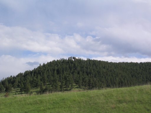
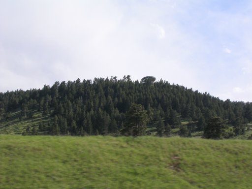
Near Denver, I showed Nick the house from the Woody Allen movie, "Sleeper".
Got back to Fort Collins ~6:30pm, and cooked up some lentil soup. Utah was cool, and I want to go back.