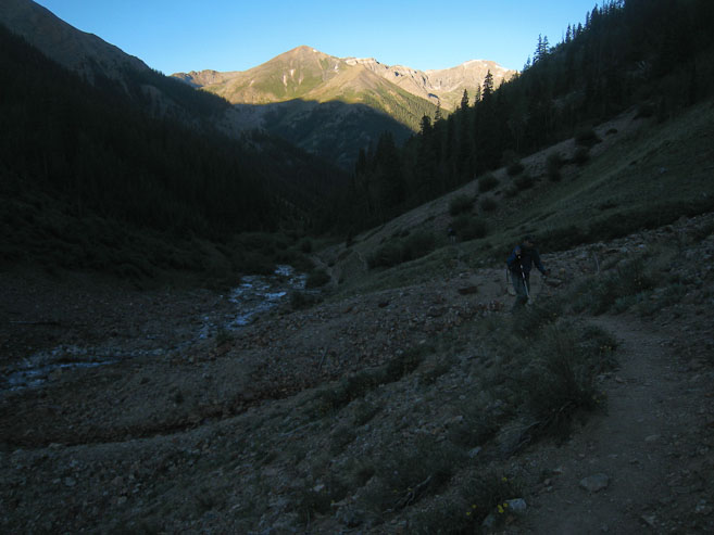
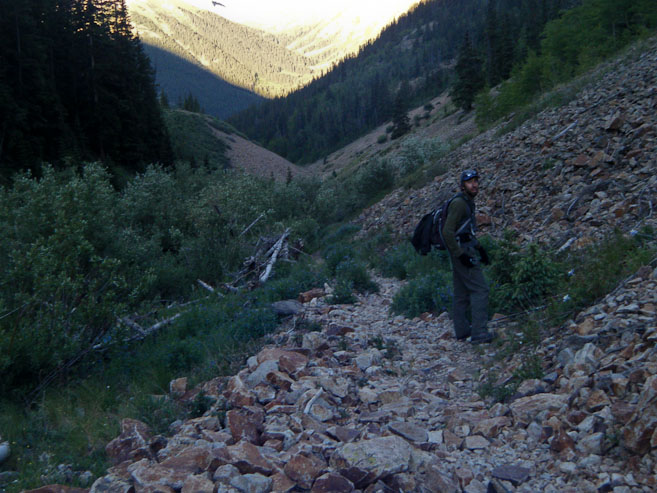
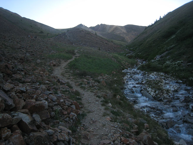
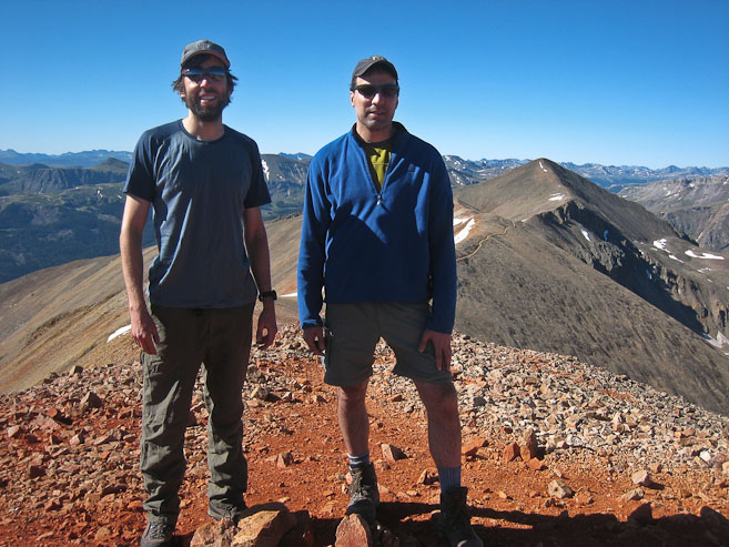
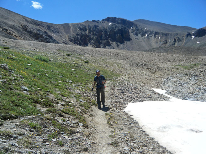
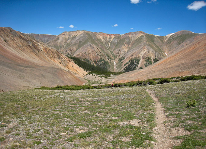
The well marked trail followed a stream. I kept looking to the right, hoping to find the fork to Sunshine, which would be our desired return path. Pics of Tom and me (2nd pic by Tom)...
The well marked trail followed a stream. I kept looking to the right, hoping to find the fork to Sunshine, which would be our desired return path. Pics of Tom and me (2nd pic by Tom)...
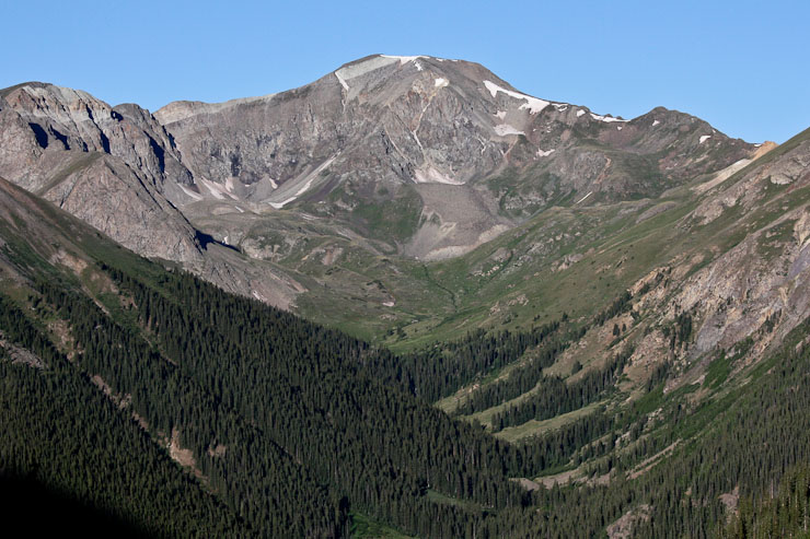
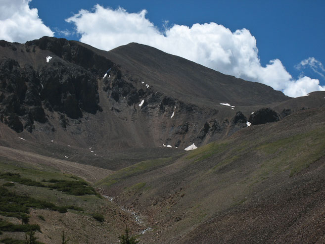
A look back at Handies, which I summitted at 8pm last night, thanks to perfectly clear skies. Great weather this morning too. The trail continued up along the stream...
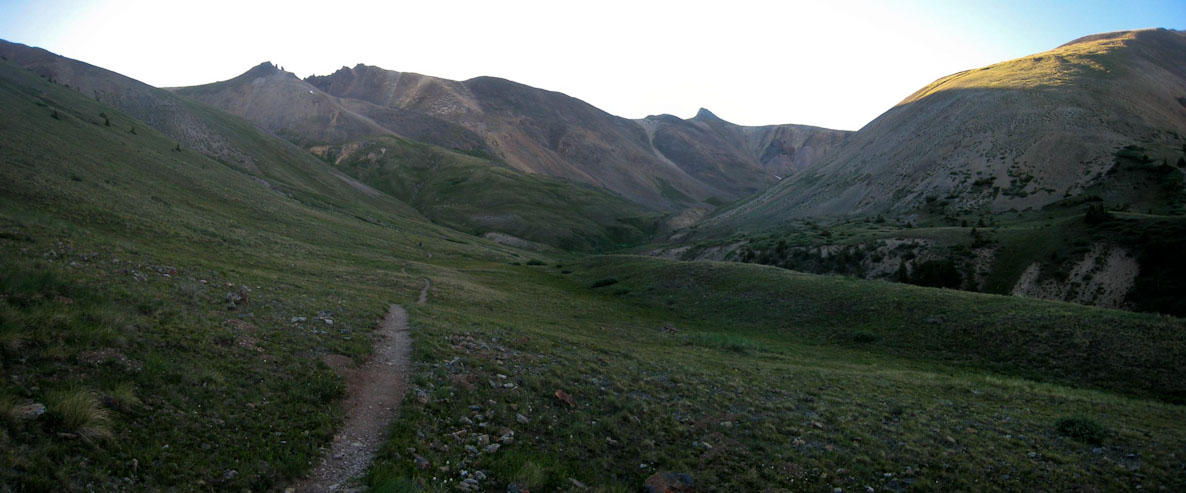
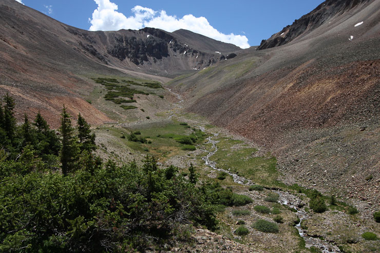
We passed a few people, before the trail left the stream and circled towards the grassy basin to the right...
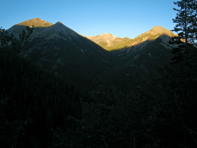
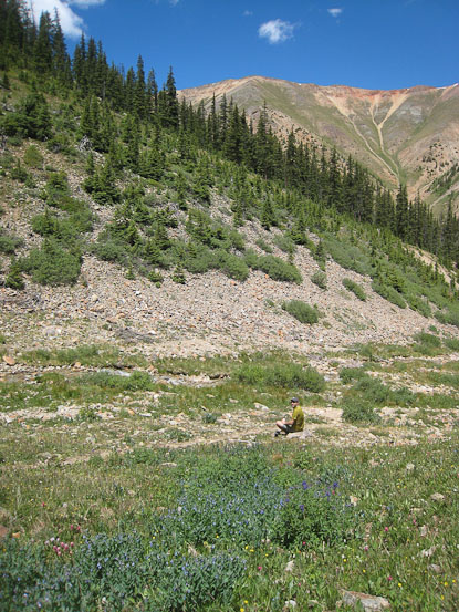
The trail led straight towards the saddle in the ridge ahead, where the ridge is in the sun...
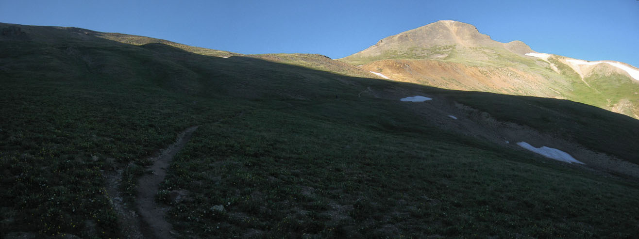
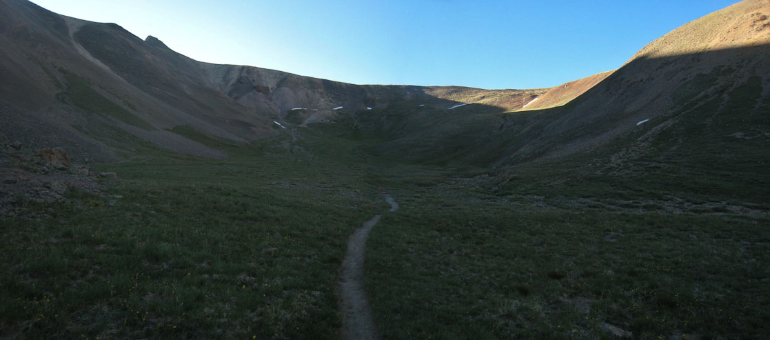
Redcloud is hidden behind the peak in view. The last moments of shade for the day...
There's Redcloud, on the left. Almost to the ridge...
I wanted to get a better pic of Redcloud, so I climbed the east on the ridge, away from the peak ~300', and told Tom I'd meet up with him later on the trail, or on the summit.
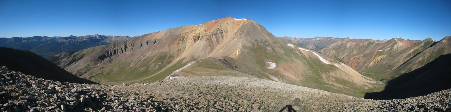
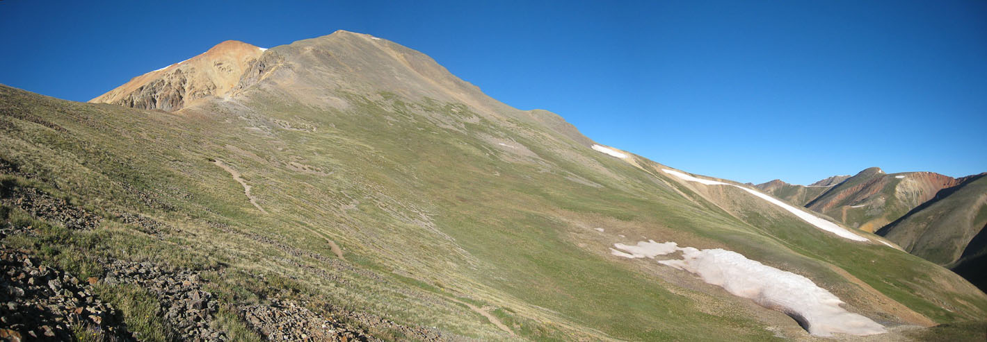
A wide view of Redcloud. We ascended the valley on the right...
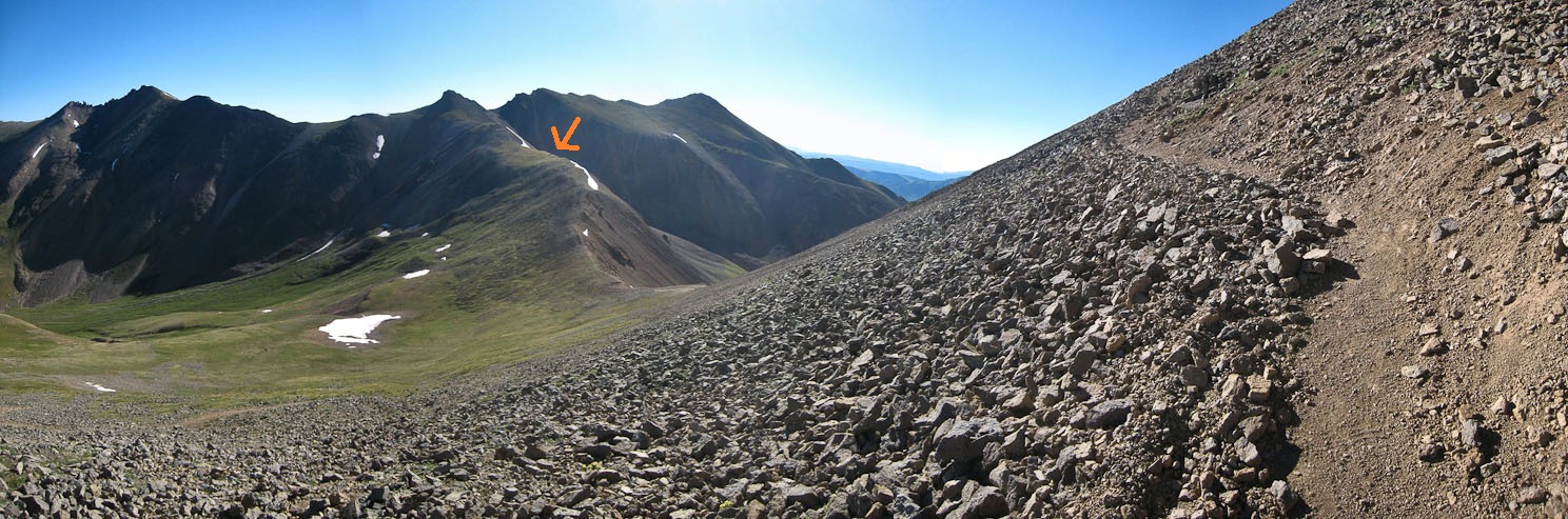
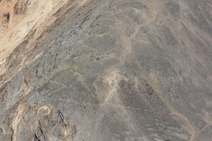
After taking my pics, I ran back down to the saddle, and started the climb up the switchbacks. The orange arrow is where I hiked to, for the pics above...
I huffed and puffed up the mountain, trying to catch up to Tom, but he was nearing the top, while I was still here...
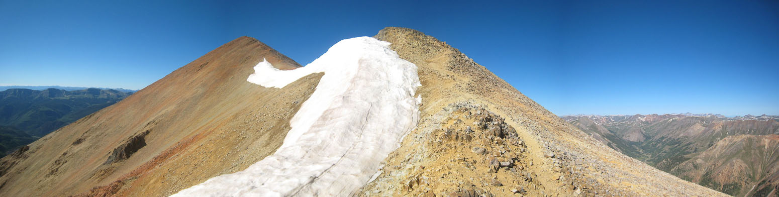
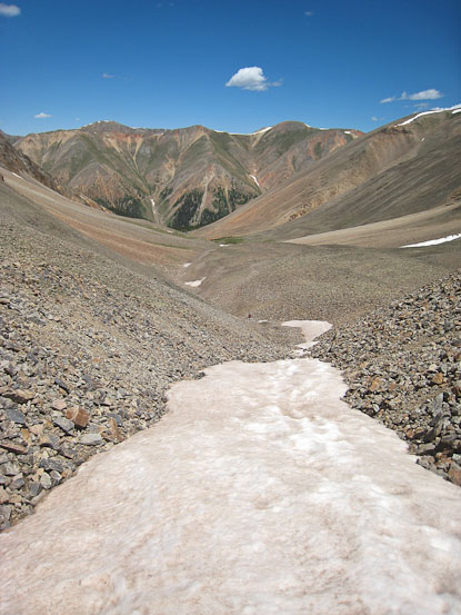
A bit of snow ~13,900'...
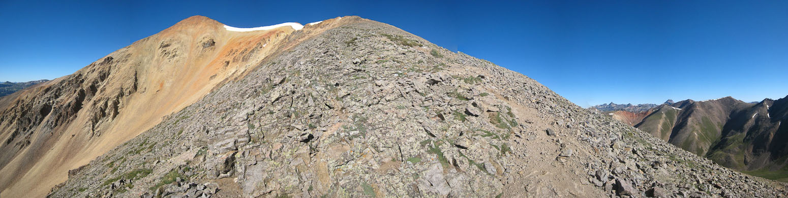
Just a few minutes left, across the flat ridge, and up the final ~100'...
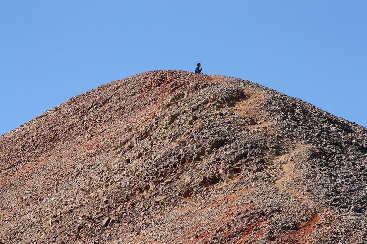
Tom looks to be snacking at the summit. He takes a pic of me, as I arrive at the top...
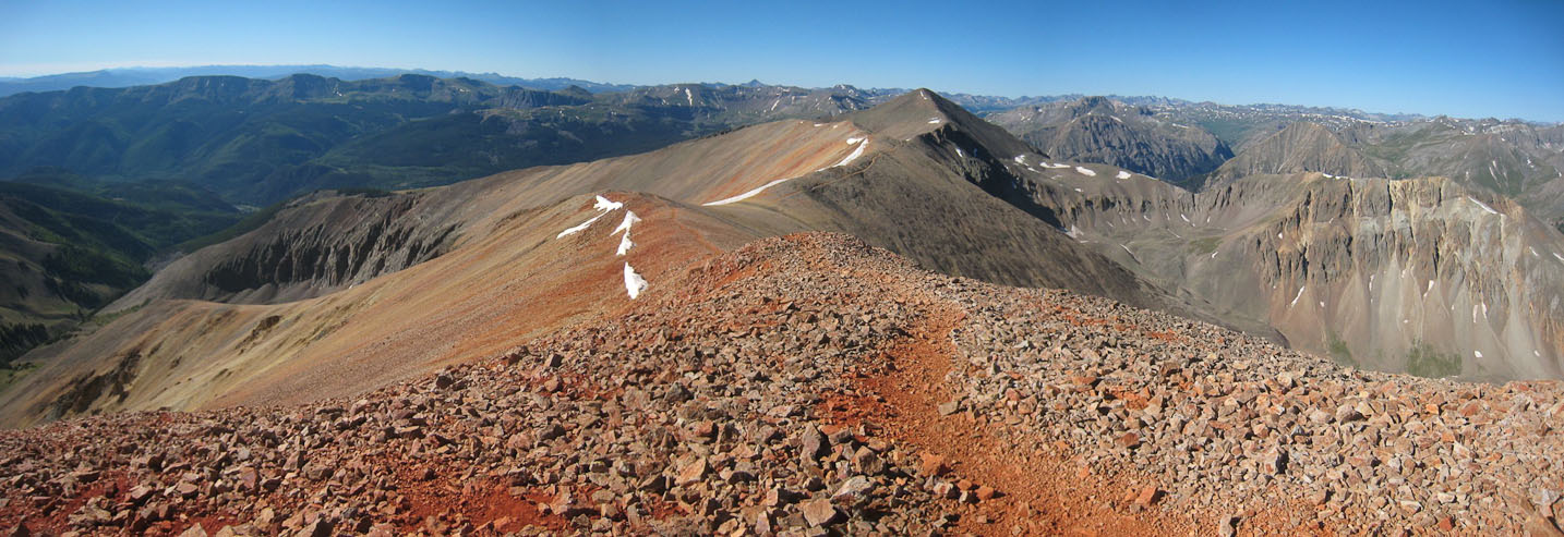
A wide view of Sunshine, the next 14er on our agenda today, from the top of Redcloud...
I summitted at 9am (a few minutes after Tom). Shortly after, another hiker arrived, coming from the opposite direction, who took our pic. A look at Handies, from the summit of Redcloud...
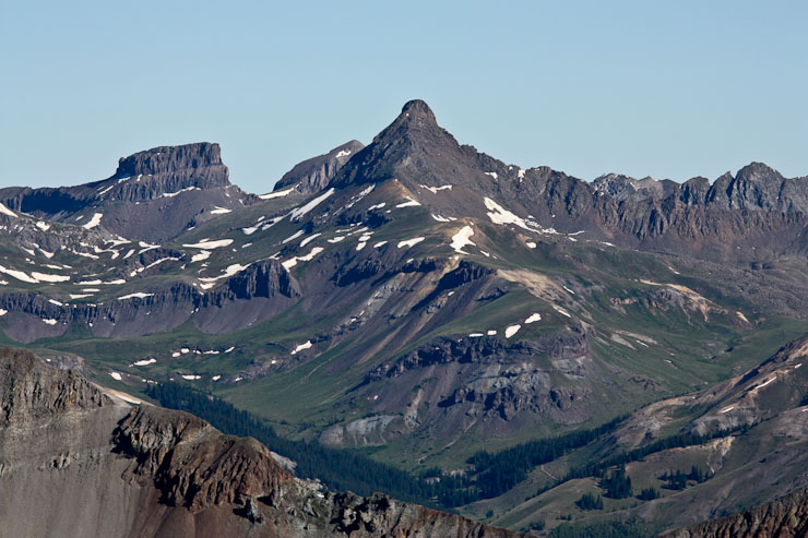
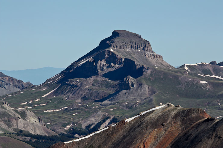
Mid-morning views of Wetterhorn, and Uncompaghre. Both are 14ers I still need to climb....
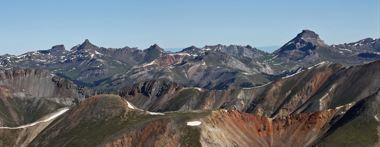
A wide look at Wetterhorn and Uncompaghre...
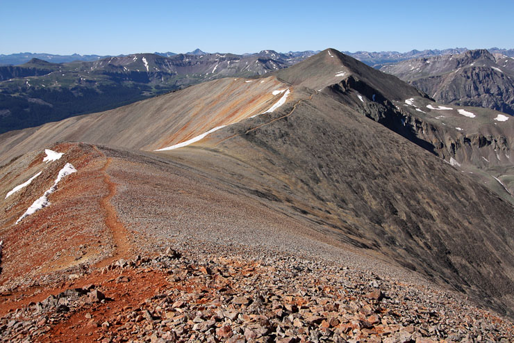
A couple pics of Sunshine, and our upcoming path...
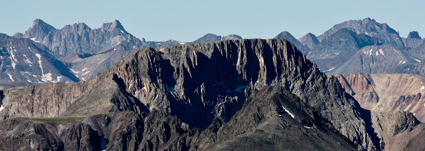
A zoomed in shot of Chicago Basin 14ers (good thing I hauled up my 2 pound telephoto lens). Windom and Sunlight are on the left, Eolus is on the right. I hiked these three peaks 2 days ago...
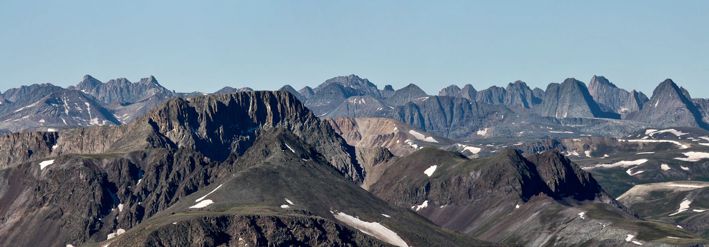
A wider view of the Chicago Basin 14ers, and some cool looking peaks to the right...
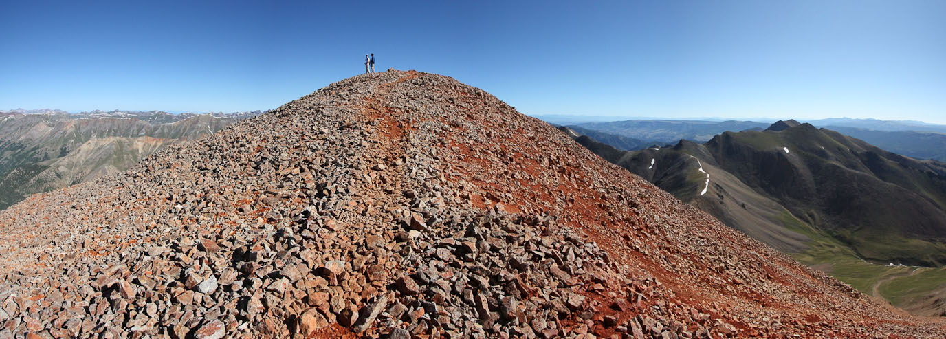
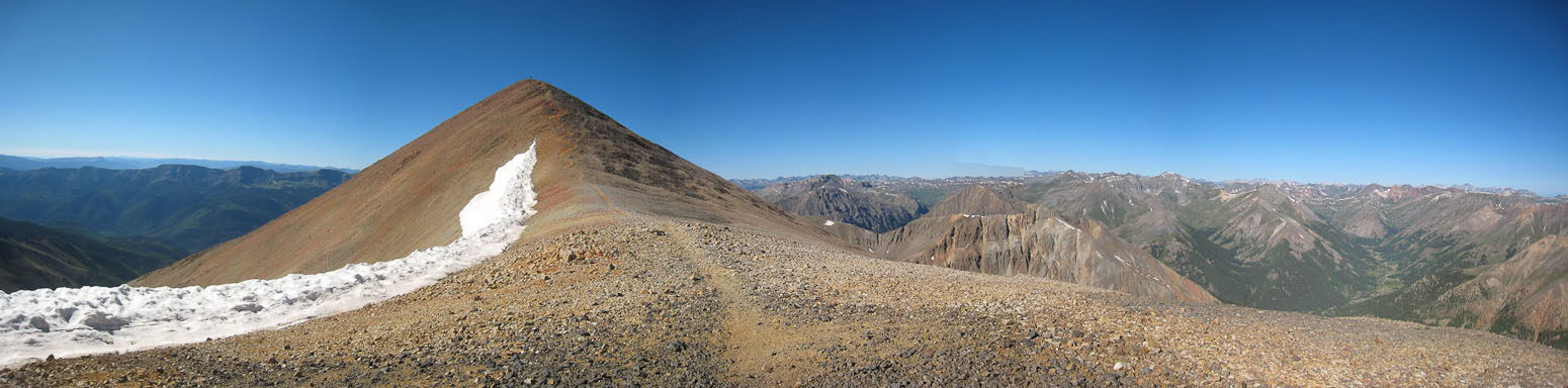
A look back at Redcloud's summit. Not too hard to figure out how it got its name...
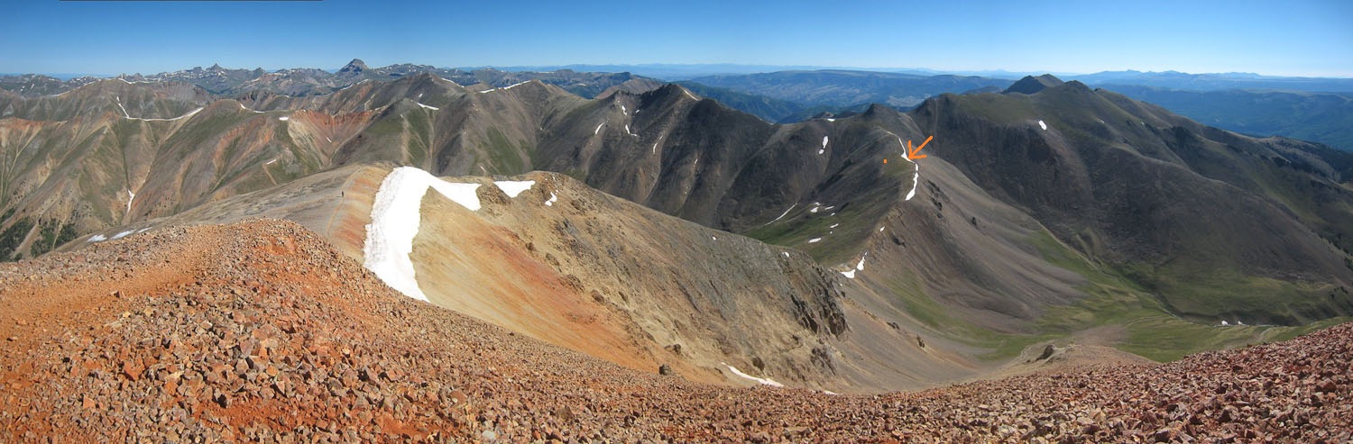
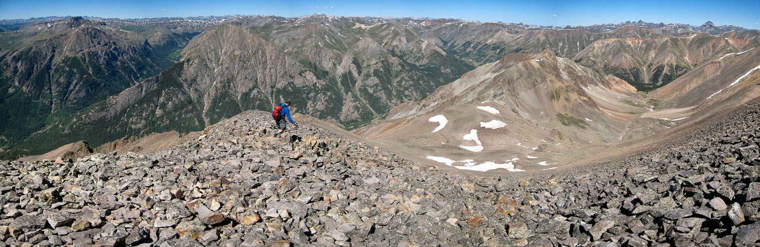
A wide view to the northeast. Someone is on the ridge above the snow. Wetterhorn and Uncompaghre are in the distance on the left. I climbed to the orange arrow earlier today...
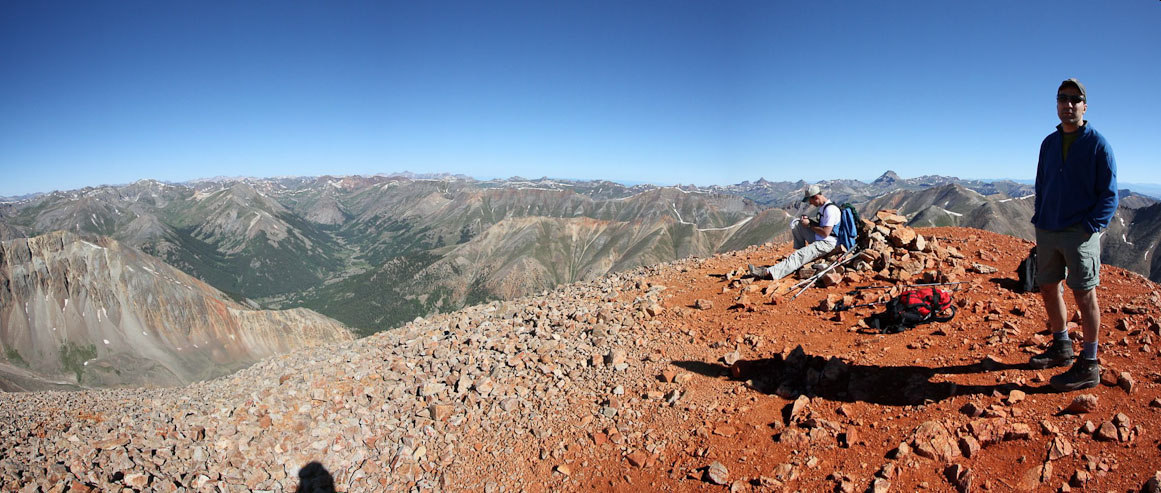
Tom on the summit. After 15 minutes, we continued on towards Sunshine, with skies nothing but blue...
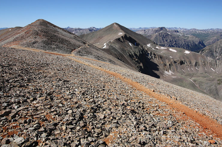
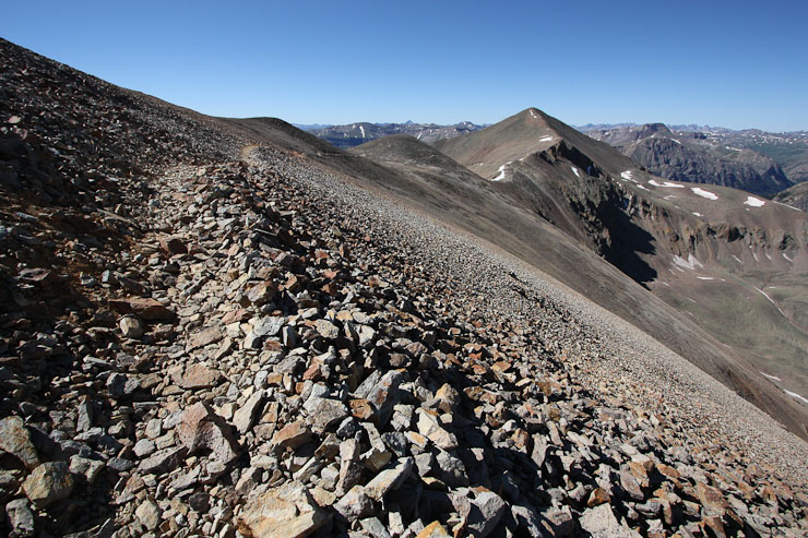
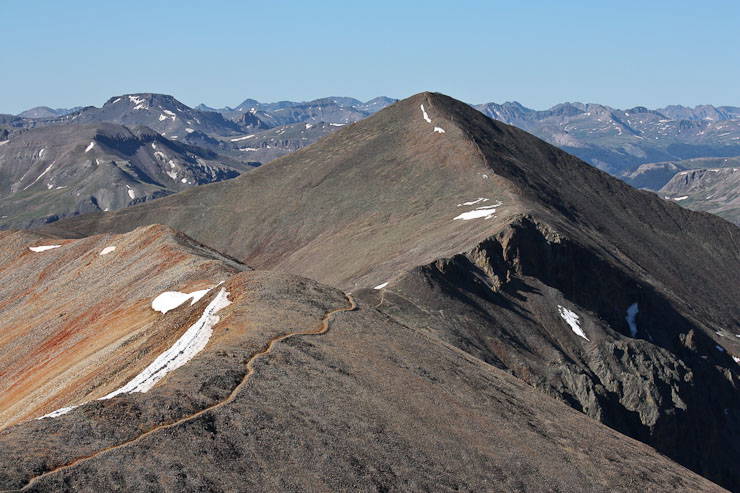
The trail to Sunshine was easy to follow, with some up and downs before dropping 500' at the saddle...
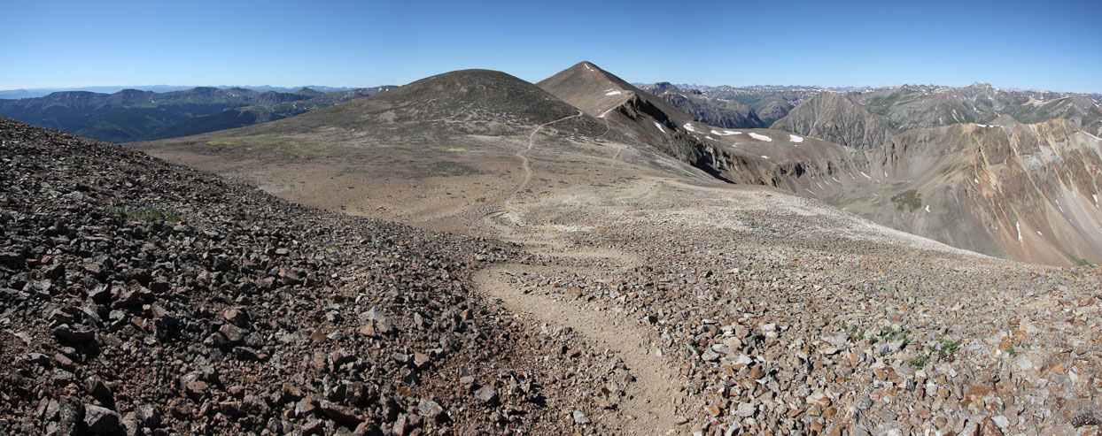
It's a little over a mile between Redcloud and Sunshine...
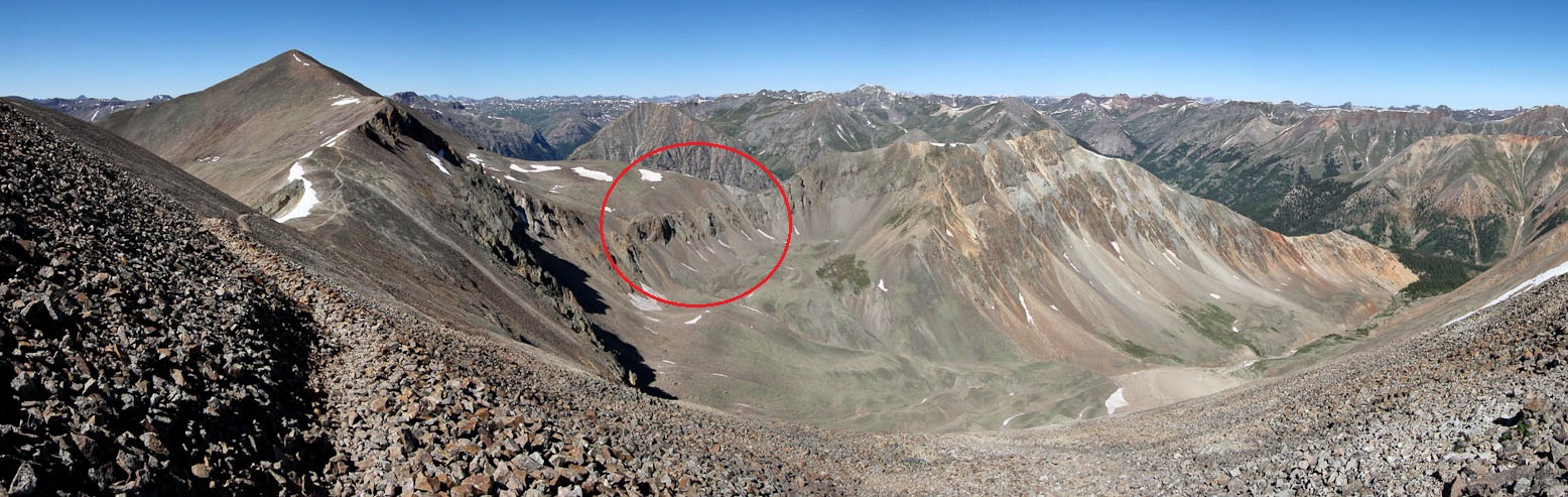
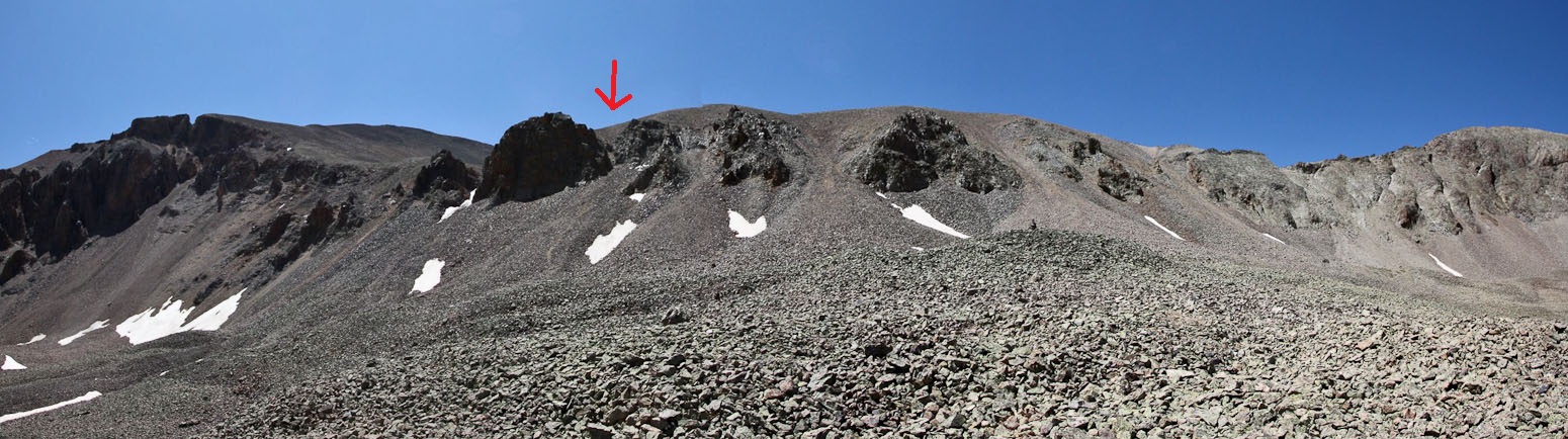
The saddle lies ahead. I kept an eye out for a trail into the basin on the right. We planned to head down there, rather than reclimb Redcloud. The red circle area looked to be the crux of the descent. Looked like the far right gully was the easiest, from here at least...
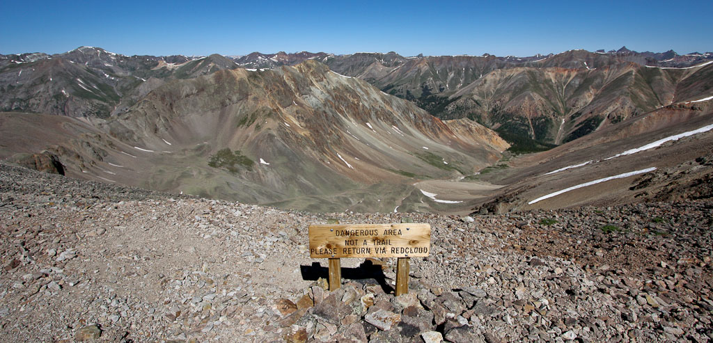
This sign at the saddle discourages anyone from heading down from here. I know someone that was stormed off the mountain, and descended here, who said it was painfully steep loose scree the whole way...
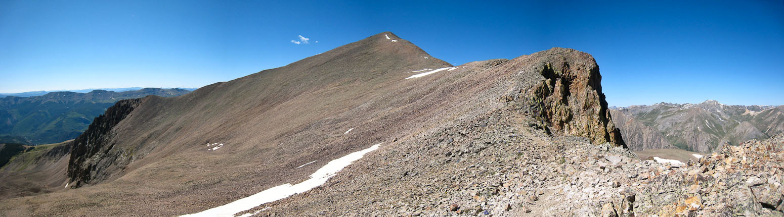
A look up at Sunshine, from the saddle...
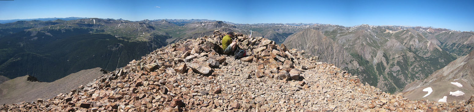
We reached the summit of Sunshine at 10:25am, just over an hour from Redcloud...
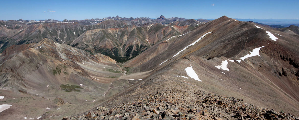
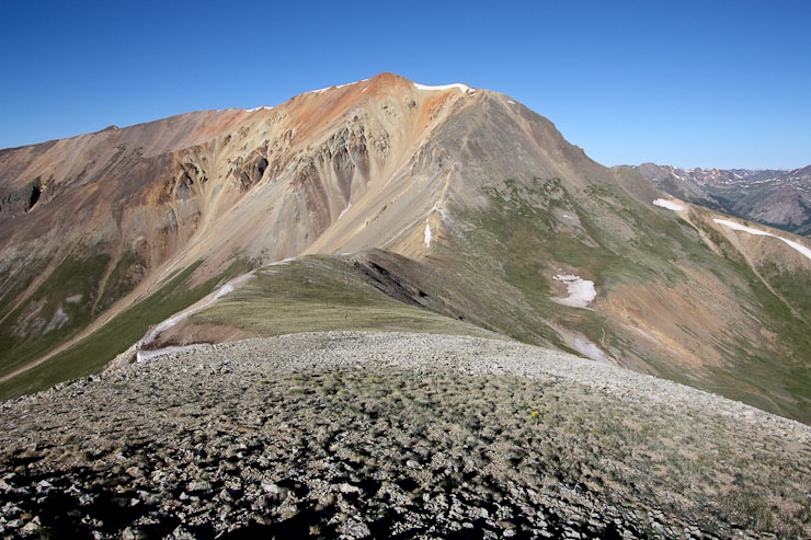
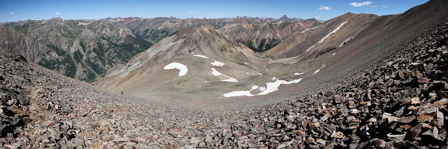
A look back at Redcloud, and the valley we planned to hike out of below...
After ~15 minutes at the summit, we continued down the other side of Sunshine, since there exists a viable trail leading back to the basin (according to 14ers.com)...
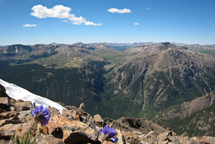
A couple purple flowers, growing from the rock, at ~13,800'...
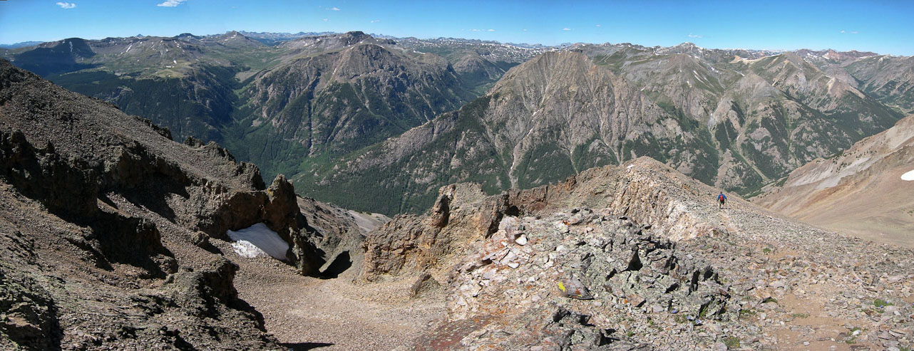
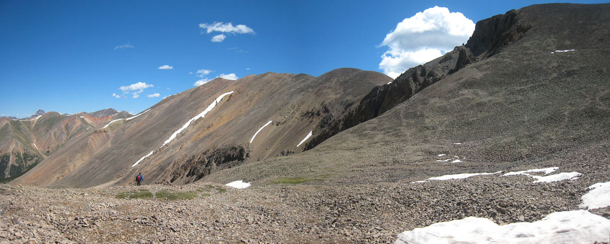
We followed a loose trail down the ridge, keeping an eye out for a path dropping towards the basin. The landscape to our left was pretty wild and rocky...
Eventually we found some signs of trail cutting down to the right, and dropped down to the rocky basin...
We crossed the basin, eventually following a few cairns. The tricky part would be coming up next...
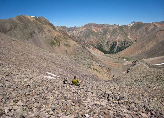
The cairns led us to a gully, which wasn't the "easy" one I had spotted from the ridge. But best to follow a trail. A look down the gully confirmed it was steep and loose...
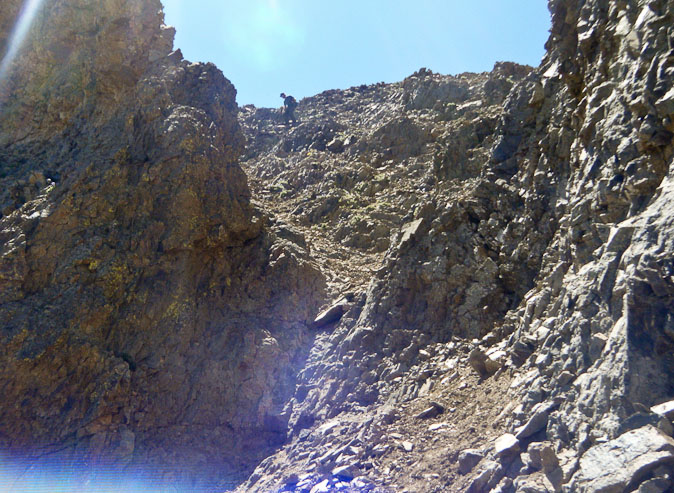
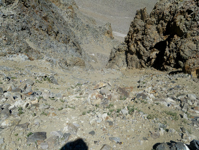
Tom went first, and struggled on the loose rock, sending stones tumbling down. I suggested hugging the right side of the gully, on the stable rock, and this proved to be good. I followed, once Tom reached a spot that was safe from rock fall...
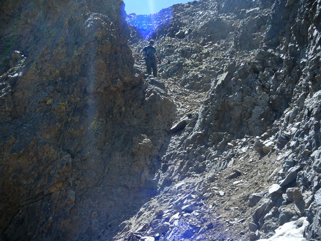
Sticking to the edge of the gully made the descent easy, until reaching this pinch point. I threw my poles across, and downclimbed slanty grey rock. It probably would have been a class 4 move if there was more exposure. A look back up the gulley...
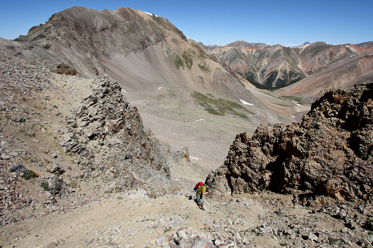
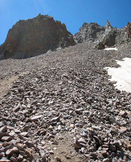
Having descended a bit further, we looked back, and thought the gulley we descended was one of the toughest looking of the bunch. But there was a trail leading to it from below as well. Seems like other gulleys on the right might be easier, but probably loose...
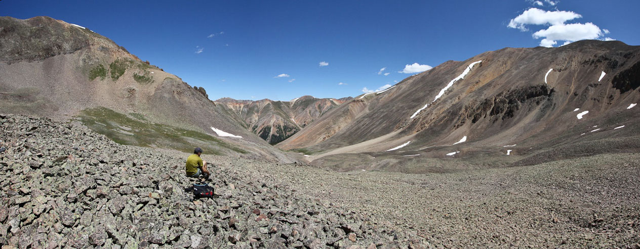
Having reached the lower basin, we were feeling home free. It was be a straight forward hike from here on out...
We followed the bottom of the rocky basin, until it reached a dirt trail in the grass...
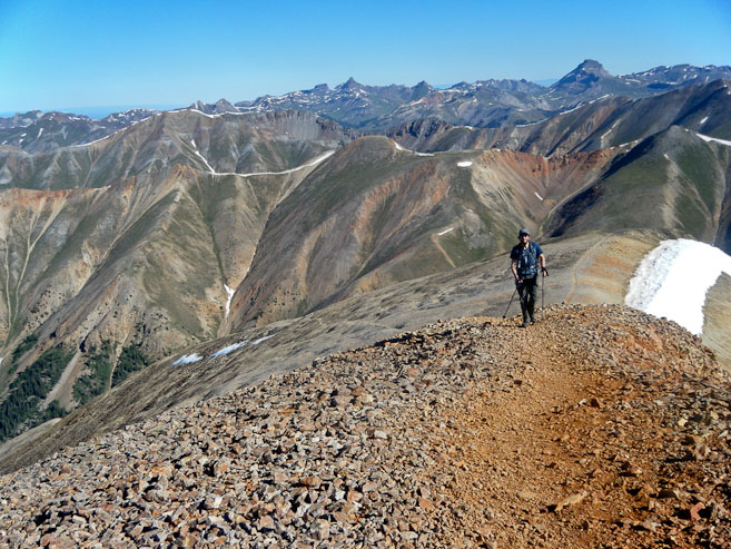
A look back at me, with Sunshine in the backdrop (pic by Tom). A look ahead at Tom, as he nears the brush...
A couple final looks at Sunshine before dropping down out of the basin. We could see a few people descending the western ridge. I noticed some clouds building as well...
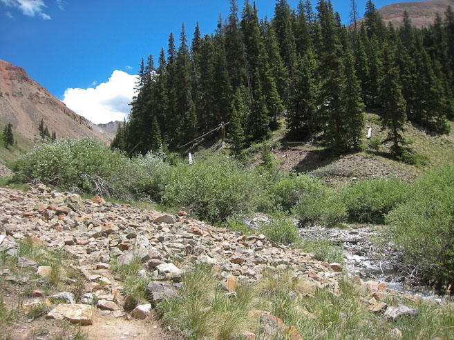
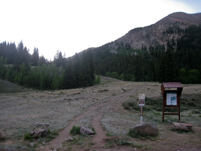
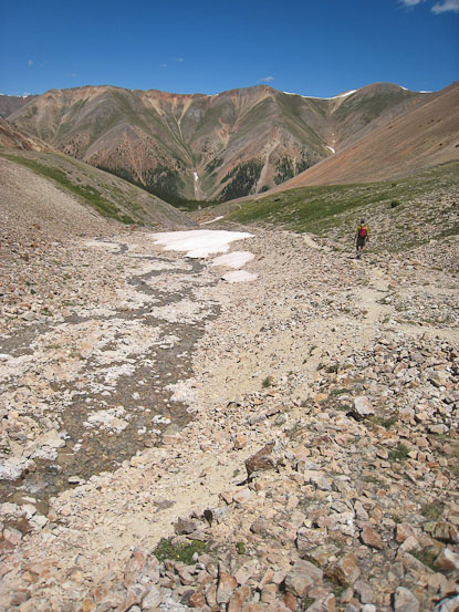
We followed a creek the rest of the way, until it joined with the stream we climbed alongside this morning. The 2nd pic is where the trail joined the main trail back to the parking lot...
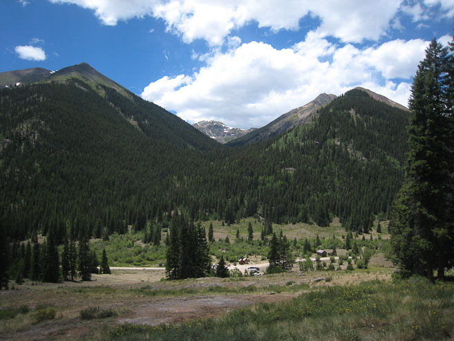
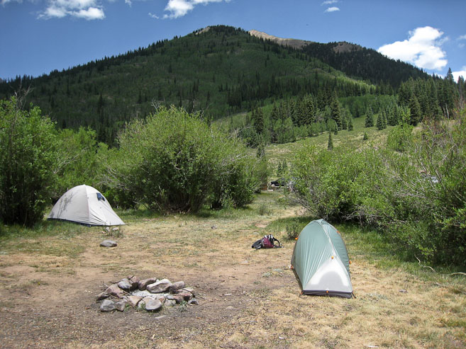
The reminder of the hike out was easy, and I reached the parking lot at 1:10pm (7hr 10 min hike today). A look from our camping spot, where we packed up and started the long drive back to Fort Collins...
The clouds were building as we drove out. I noticed that the rough dirt road, which was supposedly "passable in a passenger car", was tougher than I would have expected, and was thankful for Tom's Jeep today. We stopped in Lake City for lunch, just before it started raining. What luck to have found a 3 day pocket of perfect weather, bookended on each side by storms without hours of our hiking. I managed to bag 6 14ers in this 72 hour window, boosting my count to 37. All totaled, it was ~17,000' gain and ~40 trail miles in that span. These were my first 6 in the San Juans, so I'll be back again soon.