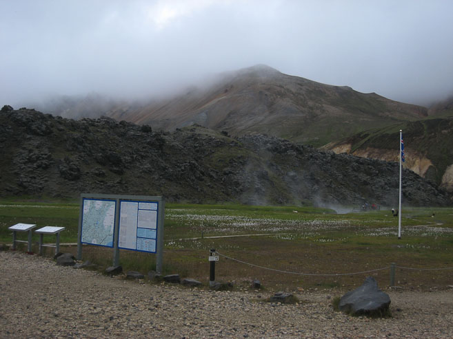
A low cloud ceiling at 8:30am had ready to accept hiking in fog and shadow today. The hot springs were getting some morning action by folks...
7/20 9:30pm, Hraftntinnusker camp
Wendy slept in, while I got up and started a breakfast of oats/protein-powder blend and flax-meal/nut blend (for Wendy). The skies were improving as the morning grew. I checked out the "Mountain Mall", a small bus that was turned into a mini-store in camp. It had a surprising amount to offer. I had 42isk in heavy change, that I didn't want to bring on the hike. I asked if there was anything in the store I could buy. She offered one of the 50isk licorice candies, which I happily accepted. I like licorice, but upon trying it, I was surprised I couldn't handle that much black licorace, and threw the rest away. Having a garbage here was a luxury. We threw out as much trash as possible, since there would be no more disposals for the next 4 days. We packed up camp at stopped by the warden's hut on the way out. He told us there was no water between huts on the 1st day, and made sure we had sandals for the stream crossings in the days ahead. We filled up some water, hit the restrooms, and began today's hike at 11:20am, retracing our steps from yesterday. Sunlight emerges! The views are better today! Our packs are heavy. Wendy accidently packed 2x the amount of cereal intended for the hike (supposed to leave some at the hostel), as well as 3 chapsticks (in addition to the one I brought too). I brought a deck of cards, 2.5 lbs of lenses (telephoto and 50mm fixed), plastic dishes, and a eye mask which I realize I won't need. We both think we packed too much food too. This will be noted for future backpack planning.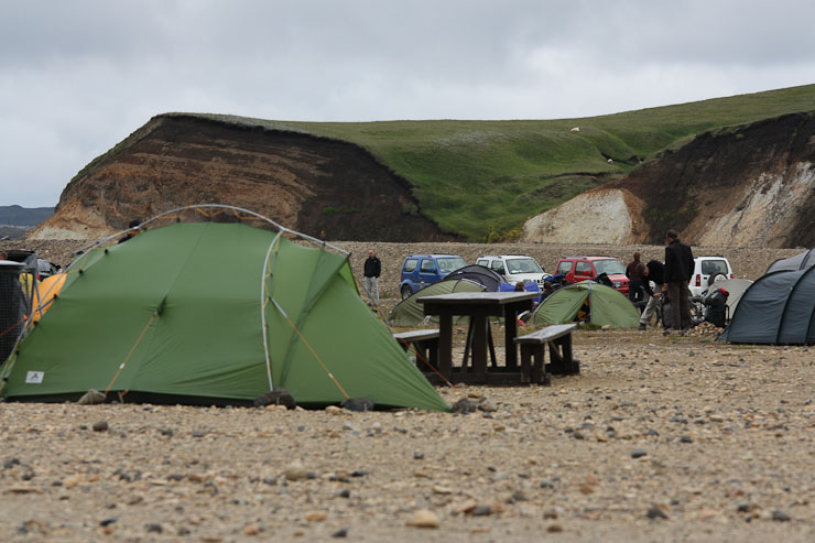
Since I was stuck with my 2lb telephoto lens, figured I'd force myself to use it, and found some sheep on the grass in the distance. Wendy eats breakfast in the tent...
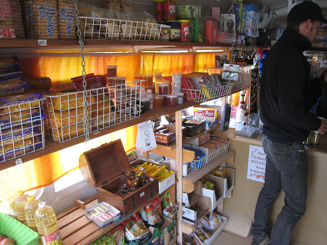
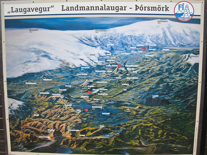
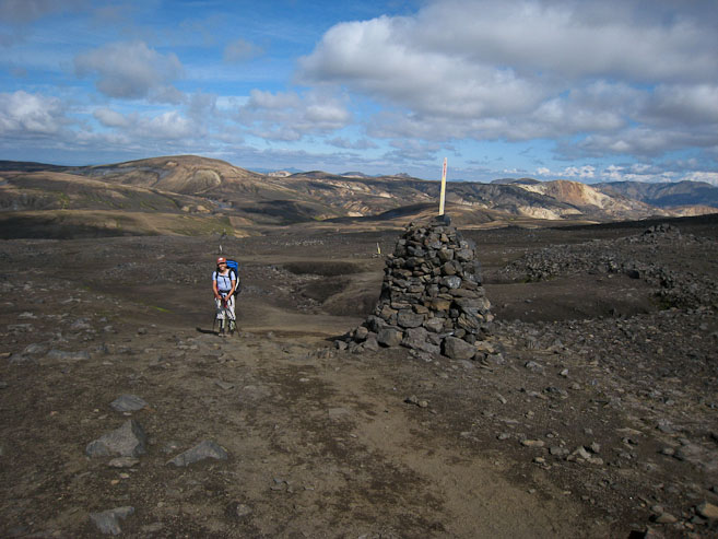
A look inside the Mountain Mall bus-converted-store (half of it). There was a wide variety of items. A little pricy, but not bad considering the remote location. The red dots in the 2nd pic show the huts where we'll camp on our trek. The bottom one is Landmannlaugar, and the top is Thorsmork. The huge white mountain above Thorsmork is the volcano that erupted a few months ago!
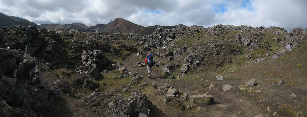
We cross the hot spring stream at 11:20am, and retraced our steps from yesterday's dayhike, climbing up to the lava field...
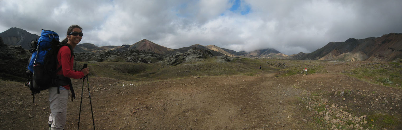
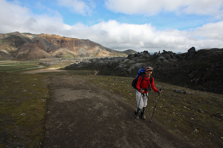
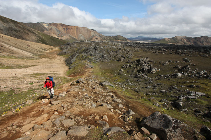
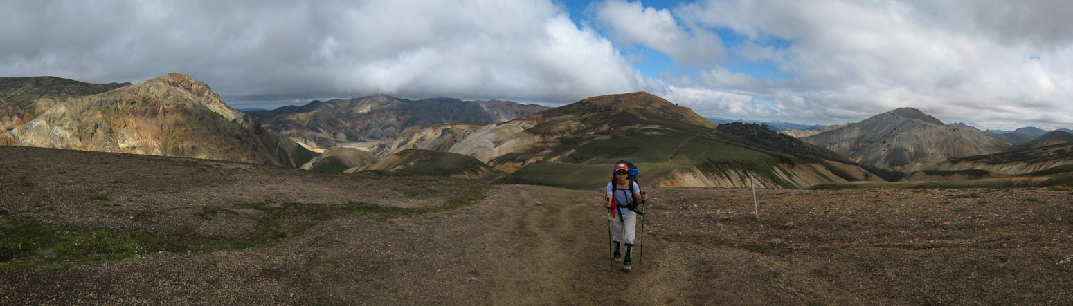
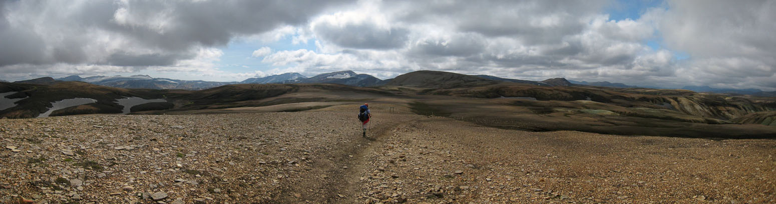
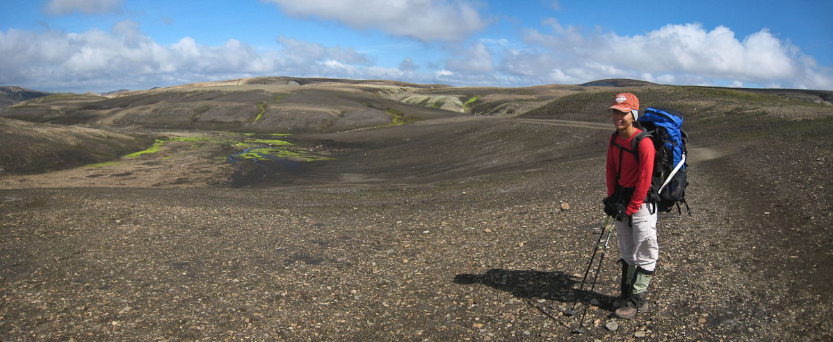
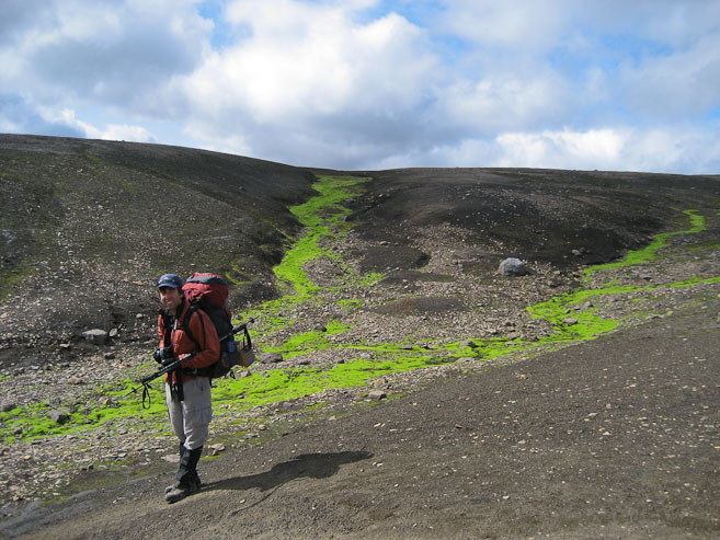
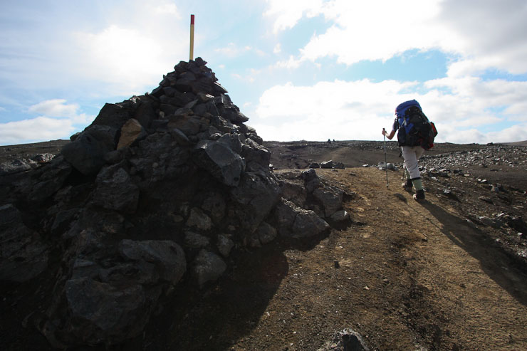
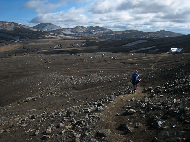
Wendy sports a large full pack, but seems in good spirits to start the trek none-the-less...
A look across the lava field at the mountain we climbed yesterday (with the black horn). My pack is also large and full...
The dirt trail led us past black volcanic debris...
The sun was starting to break through the clouds! We might get to see some good colors today!
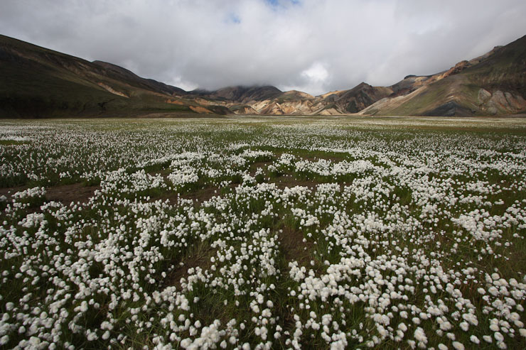
Once again, we arrived at the grassy meadow, 25 minutes into our hike...
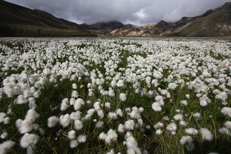
I took the same pics as I did yesterday, this time with a little sunlight...
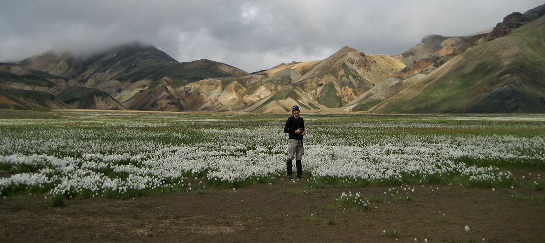
I stand in the spot I took the above photos...
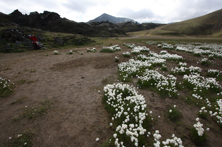
A last pic of the cotton flowers, and it was time to don our packs again, and continue up the trail...
Again, more of the same steam vents we saw yesterday...
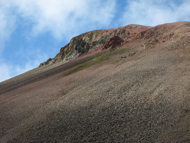
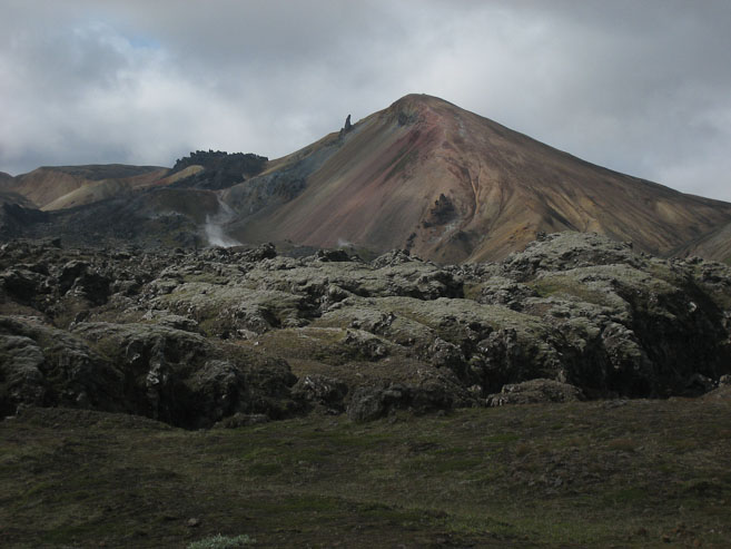
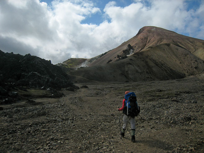
Brennisteinsalda was looking a little pink "under the chin". A look back as we rise above the lava field...
More blue sky emerges as we near Brennisteinsalda...
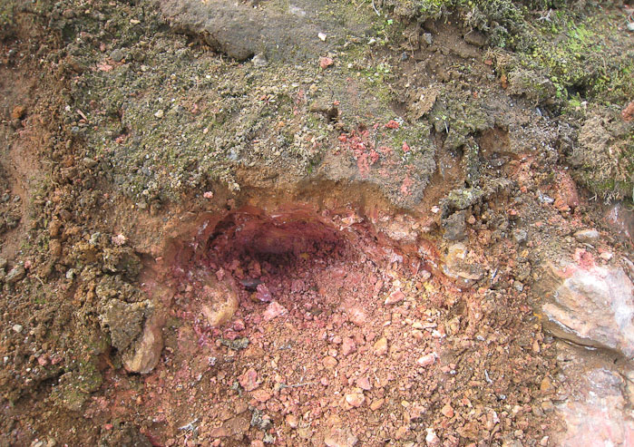
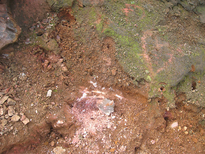
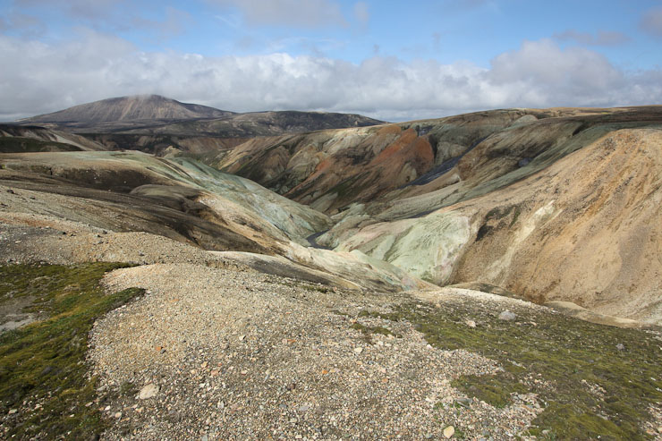
These close-ups of the gauged ground, show the pink and red color of the earth here...
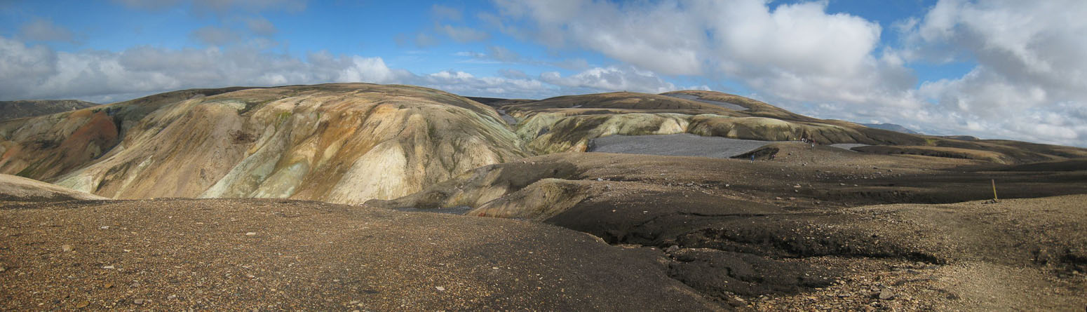
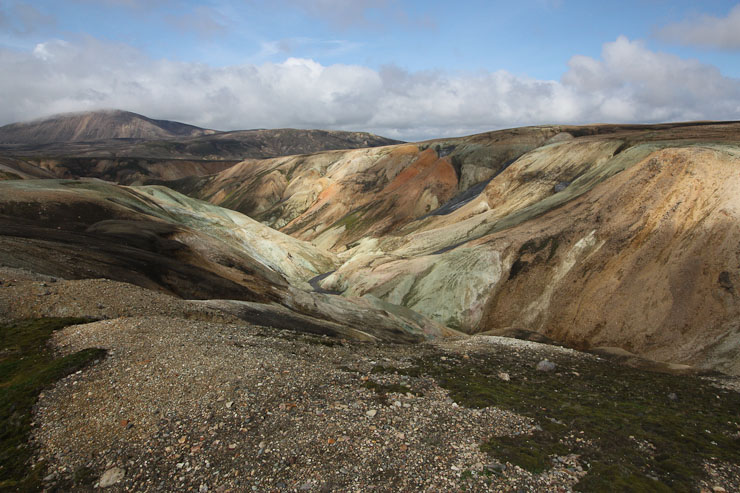
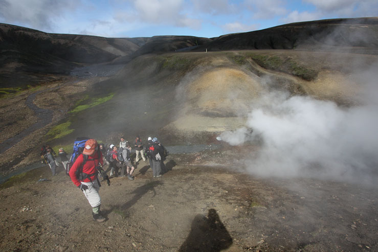
The trail is quite scenic, with an assortment of yellow, rust, pink, and "skittle green" (to quote Wendy) colors surrounding us. We climb past Brennisteinsalda and head south towards the colorful pass ahead. 470m of net ascent today (with unknown dips along the way). At the top of the pass we stop at a plateau for a lunch of"bark" (dehydrated banana/nuts/PB/protein-powder) with peanut butter, twizzlers, cheese, sausage, fruit, eggs, Lara bar, and watch a train of people in a tour group walk by in the distance. We had been on our one for a long stretch of the hike, but lots of people seemed to be converging over this 20 minute span. I was impressed with the ages of many of the tour group people (likely in their 60s).
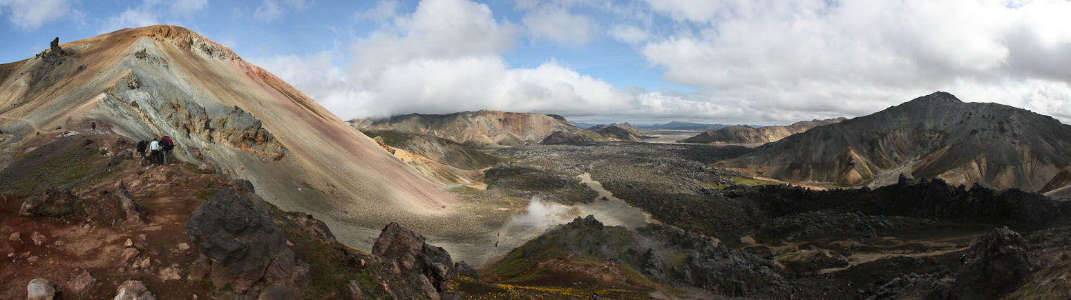
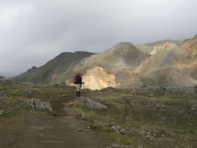
What a view! Now there's the multi-colored landscape I've read about...
This was a fine place to take a short rest, and look back at the ground we had covered so far this morning...
Wierd white growth on the ground next to the trail...
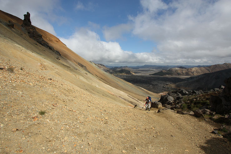
The trail was steep and slippery at times. The dry hard surface had loose grit, and we saw a hiker fall, who was coming in the opposite direction (she was ok)...
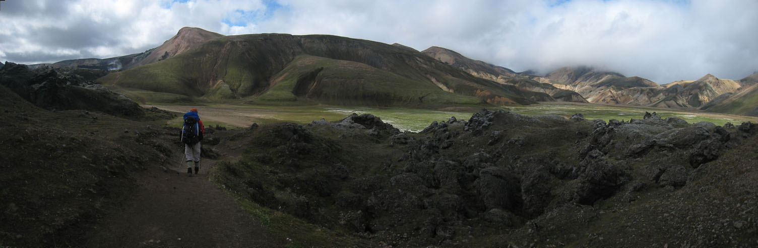
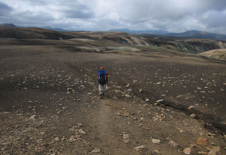
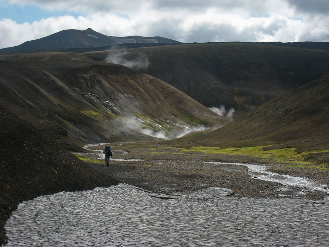
Finally, 90 minutes into today's hike, we reached new terrain, having passed the fork we took yesterday. It was exciting think about what was on the other side of the mountains ahead...
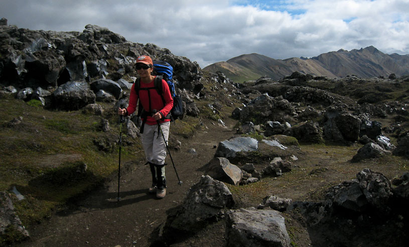
Wendy hikes the trail, along side a beige ravine...
The trail was a bit more gentle, having past Brennisteinsalda (seen directly behind Wendy)...
A close-up of the trail cutting between Brennisteinsalda and a big black lava mass...
It was warm in the sun, as we peered down the ravines we passed...
Wendy takes a pic of me on the trail...
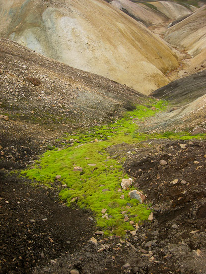
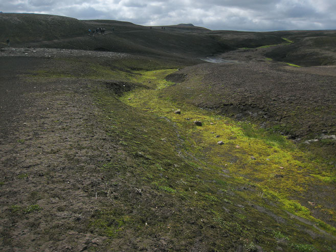
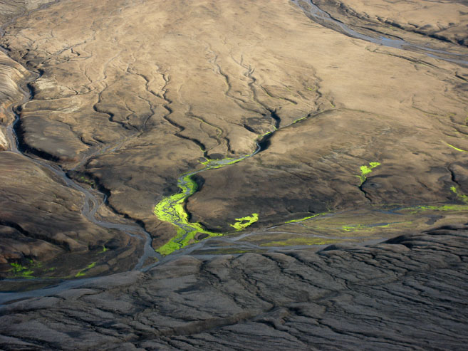
We were fascinatined by flourescent green moss that grew in some of the ravines. Notice some hikers at the top of the mountain in the 1st pic...
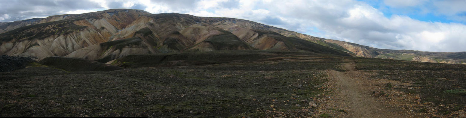
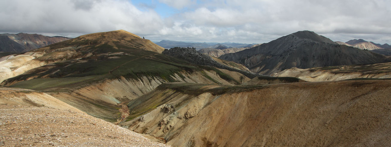
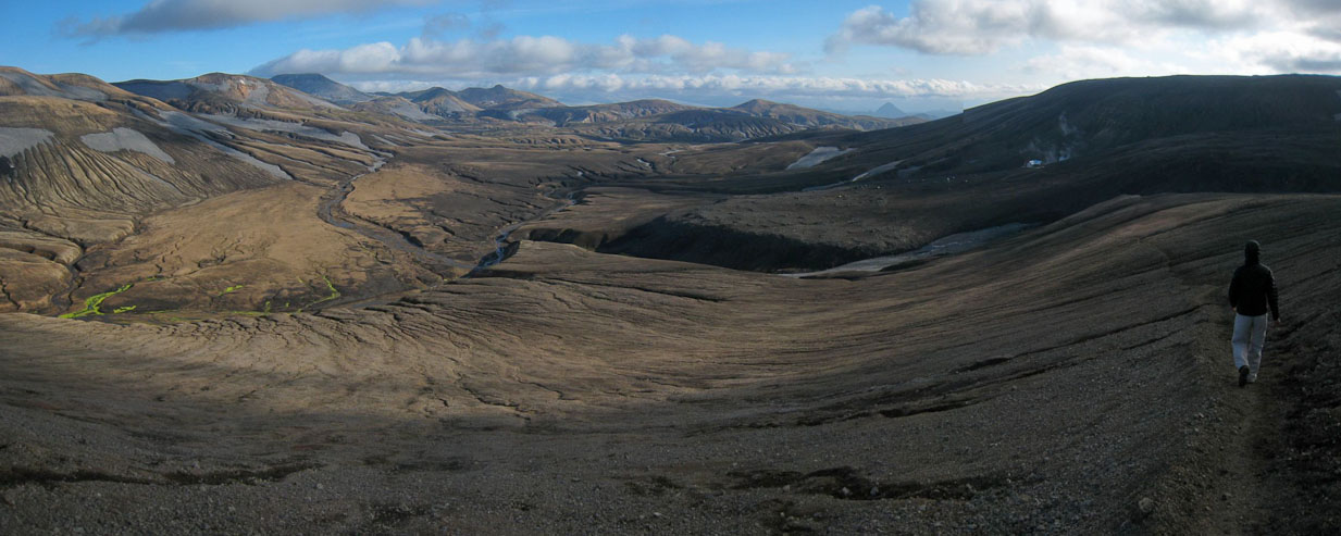
A wide look back as we near the top of the mountains. Bye-bye Landmannlaugar!
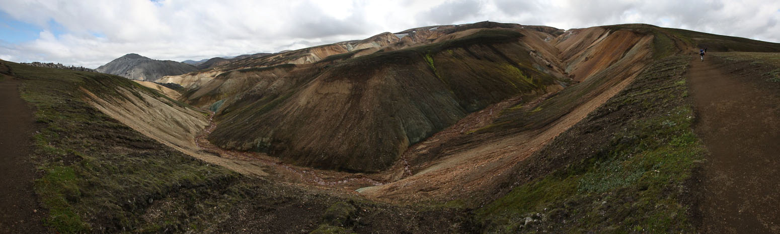
A look ahead at the ravine filled plateau...
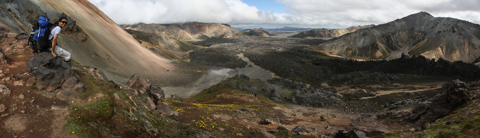
The view from the place we stopped for lunch at 1:45pm...
After lunch, we let the noisy groups get some distance, and continue across the plateau, peering over at flourescent green veins of moss growing in the wet ravines. It's chilly on the plateau.
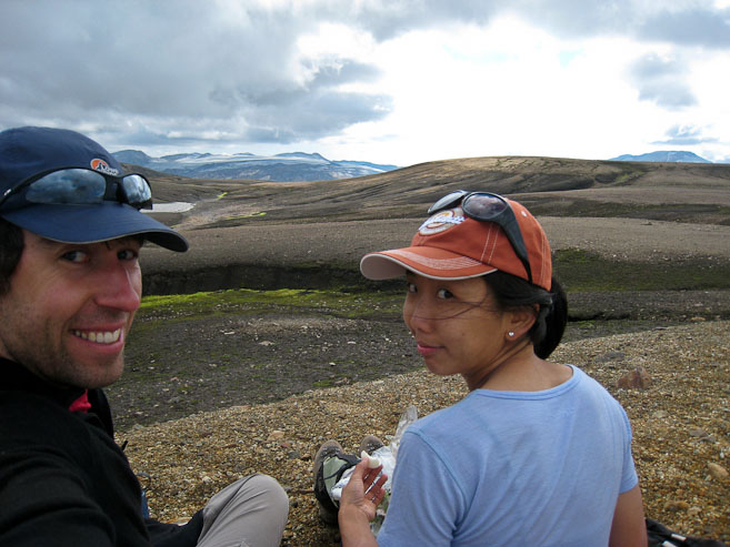
A pic during lunch. Wendy eats a hard boiled egg. We continued across the plateau, after spacing ourselves from a large tour group (surprised to see them so far from Landmannlaugar on a day hike)...
Our first snow encounter of the trek! Lots of dirt/ash on the snow...
No doubt the recent ashfall helped absorb sunlight and melt out the snow quickly this year, as typically there is considerable snow in this area...
Looking back across the plateau...
These 2 pics were taken 1 minute apart, from the same spot, but with different lighting, offering different color intensities...
More pics of pastel-ish hues and slime-green moss...
The green moss decorates an otherwise barren landscape...
Me next to some veins of "skittle-green" moss...
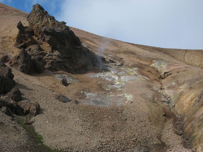
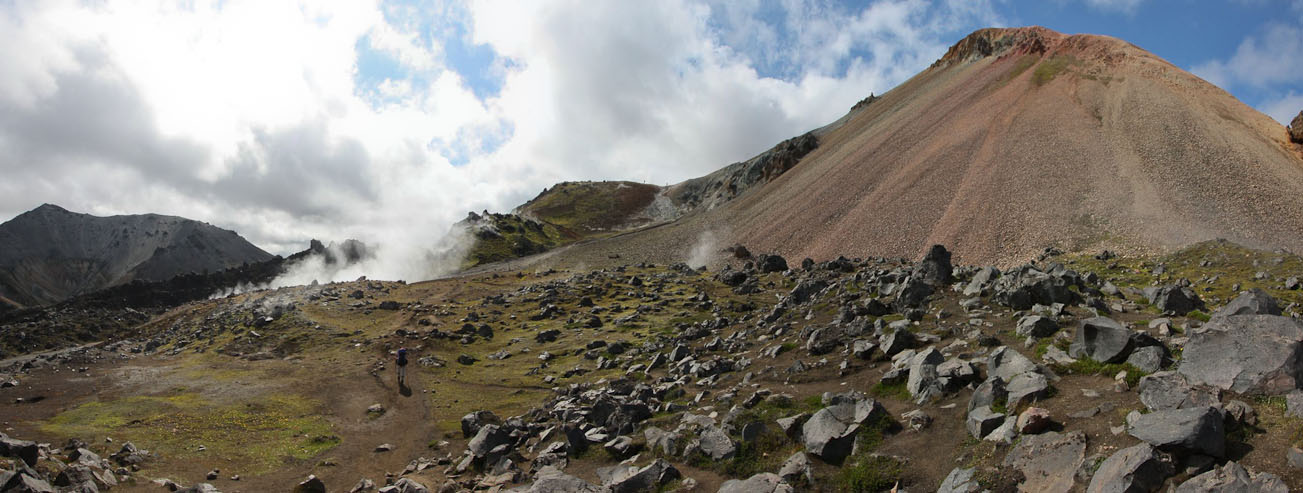
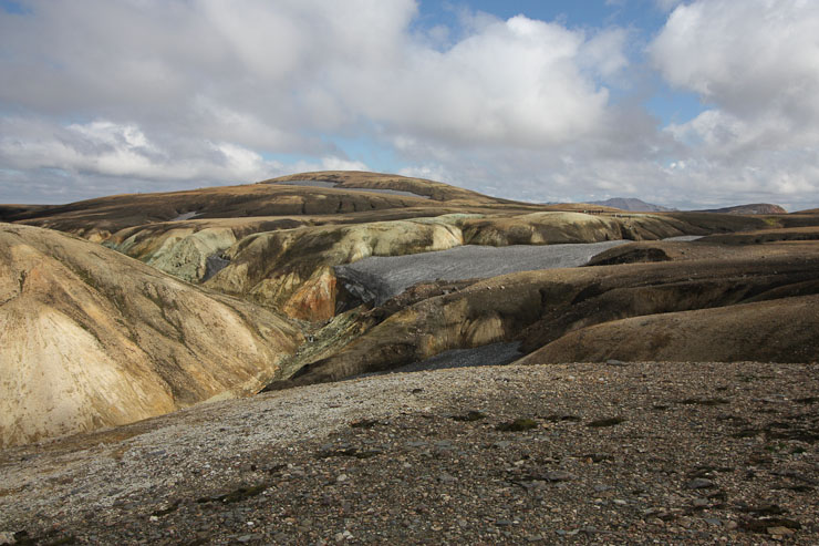
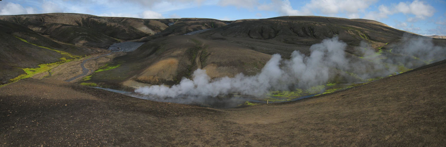
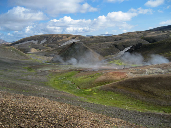
Eventually the barren plateau descends a bit into some vegetated ravines where several steam vents and some boiling pools of water belch out a sulfuric stench. The tour group stops here, but we continue on across a grey/black lava rocky plateau. This plateau has some consolidated snow banks, which are covered with black ash. Usually this trek has more snow, but I think the ash from the recent volcano helped speed up the melt this year.
Upon reaching a rise on the plateau, we see a bunch of steam vents ahead. Exciting!
We watched the tour group hike across a snow patch ahead...
When we reached the snow patch, we decided to walk down it, as the tour did. Turns out we avoided an ascent and descent to reach the same spot. Bonus!
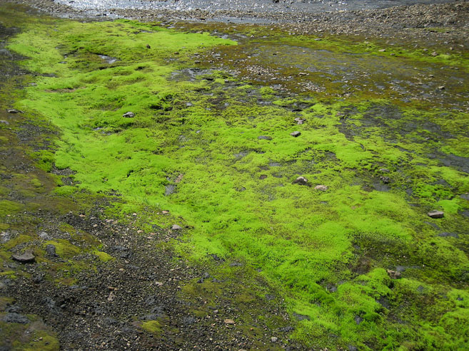
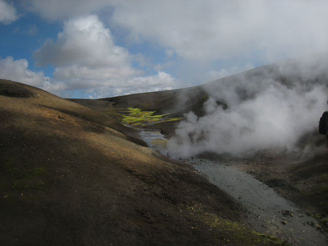
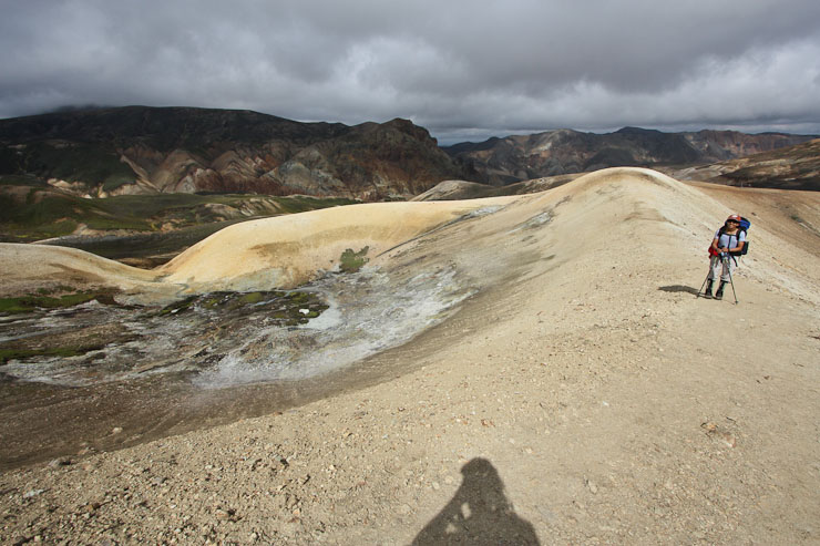
A look at the neon-green moss that likes to live on warm water apparently. After leaving the snow, to rejoin the trail, we came across a steam vent...
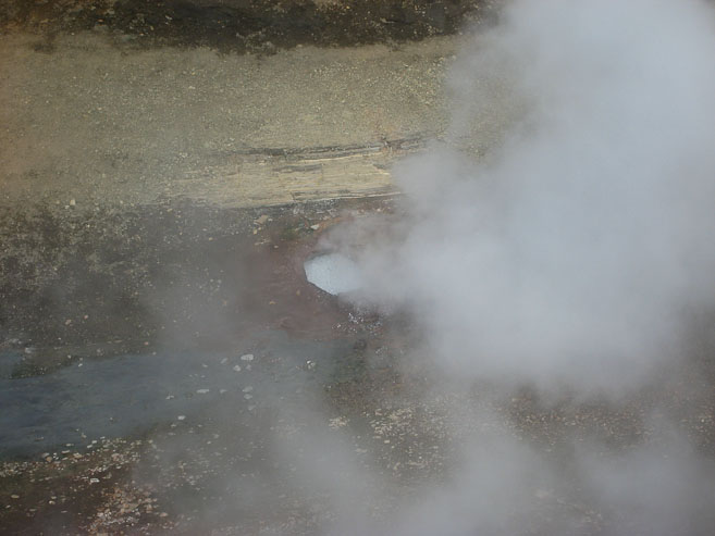
This particular steam vent came from a pot of loud boiling water. It was very entertaining to watch. Click HERE for a video of the boiling pot! Thanks to Wendy for filming it. This appeared to be the end point of the tour group's dayhike. We continued on...
A look back the steam trail from the boiling pot. The little sticks in the ground mark the trail...
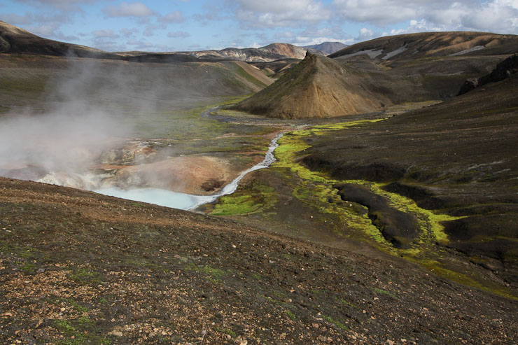
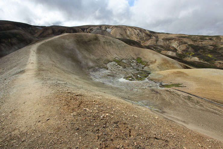
More lime green moss appeared, along with a milky blue pool...

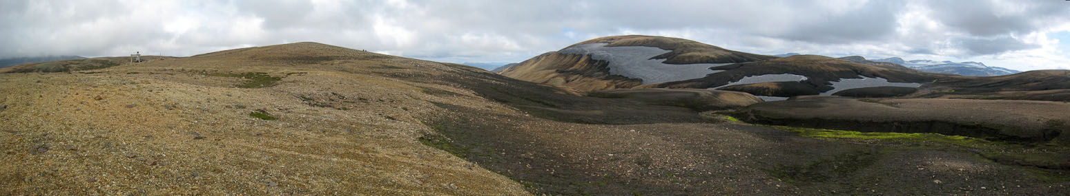
We climbed up to another plateau, leaving behind the steam vents...
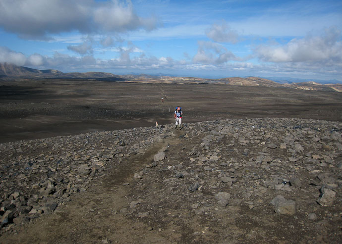
Large cairns marking the trail on the plateau...
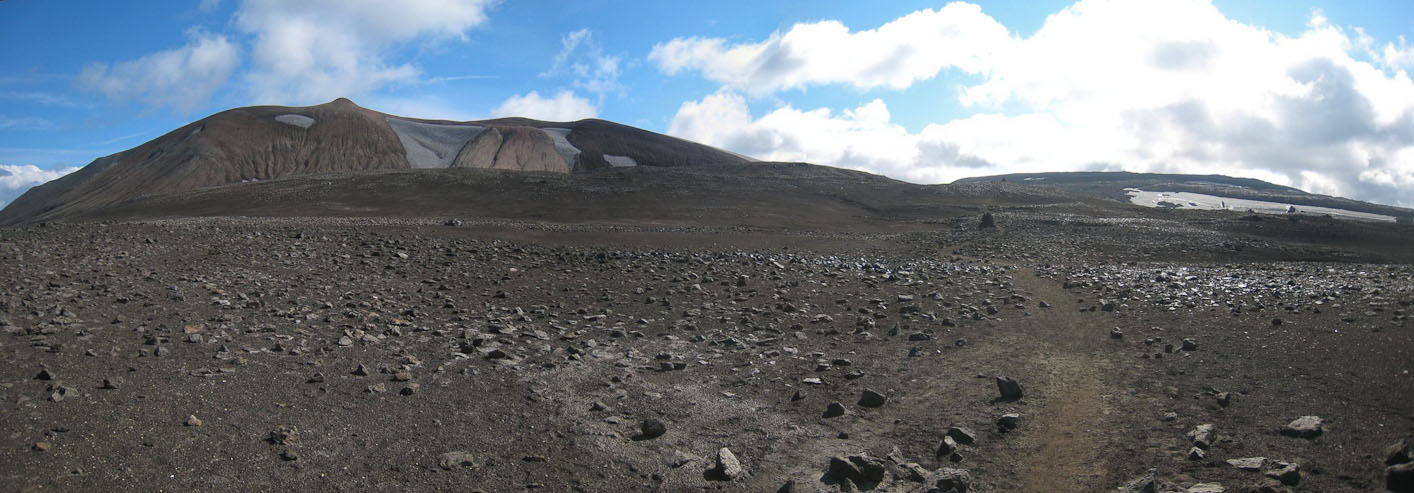
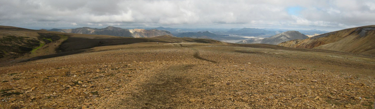
This barren expanse is the highest elevation point on the whole trek. There would still be a bunch of ups and downs, but more downs than ups...
A look back at the line of sticks marking the trail...
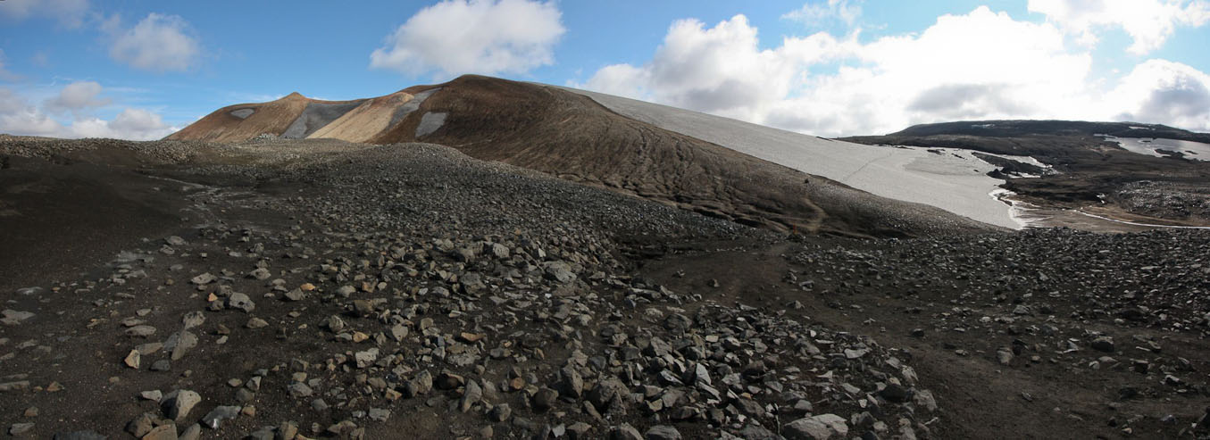
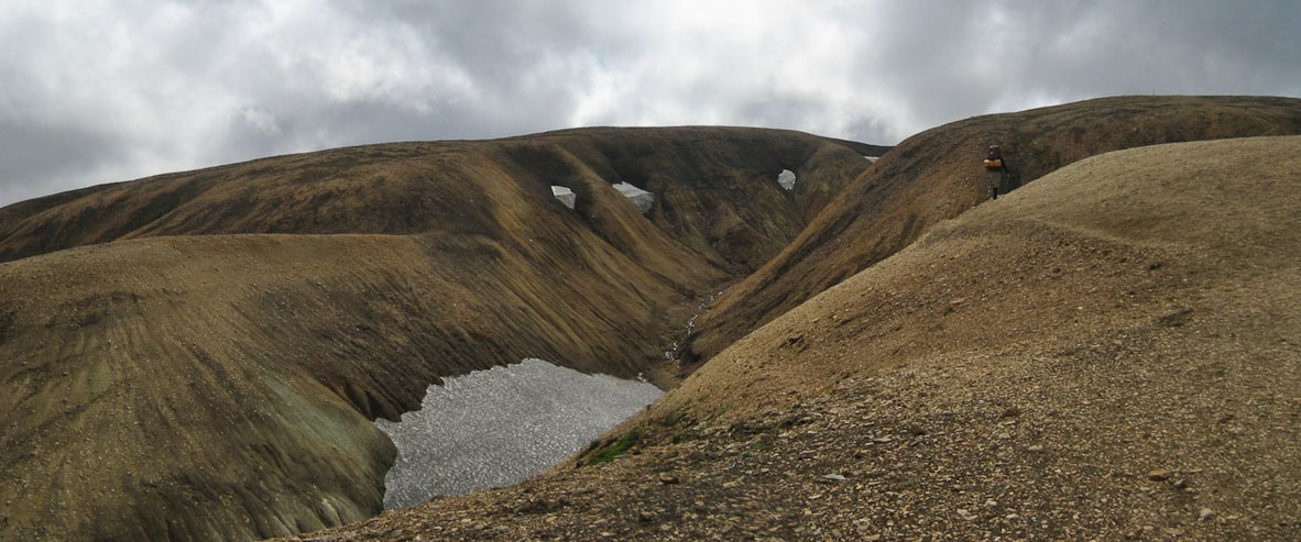
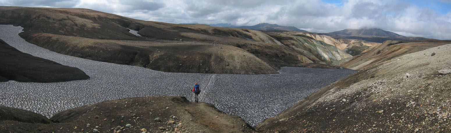
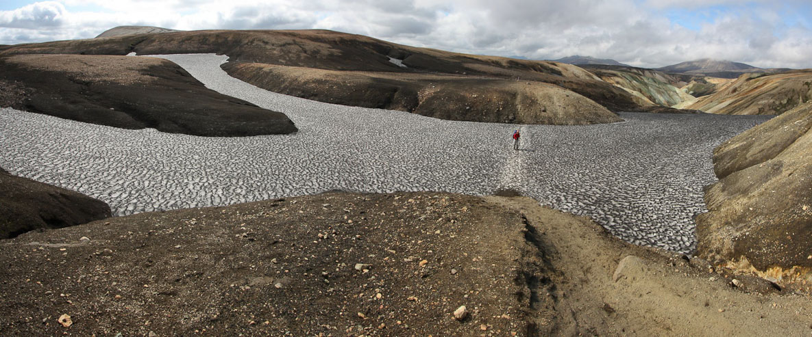
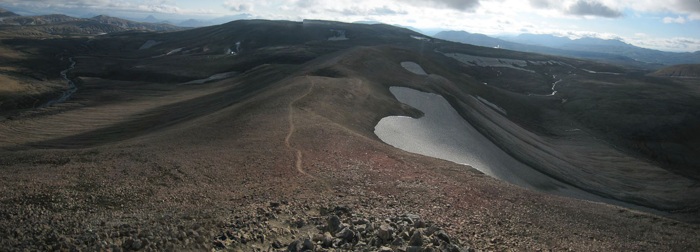
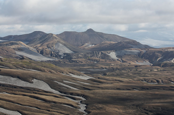
We came to a large snowfield. Hraftntinnusker hut is just beyond the pass. The mountain on the left would be our target for a late afternoon day-hike, once we set up camp...
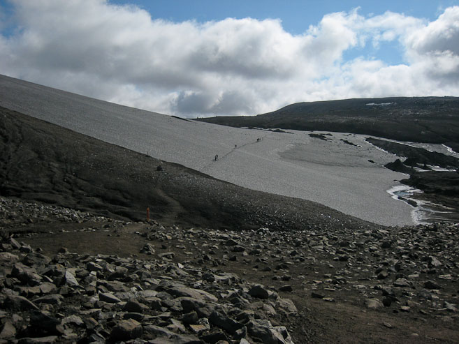
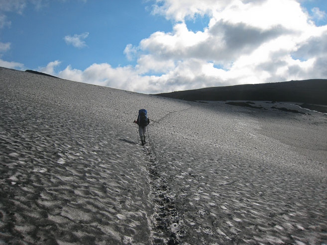
We watched hikers ahead of us cross the snow. The snow was hard packed and easily managed...
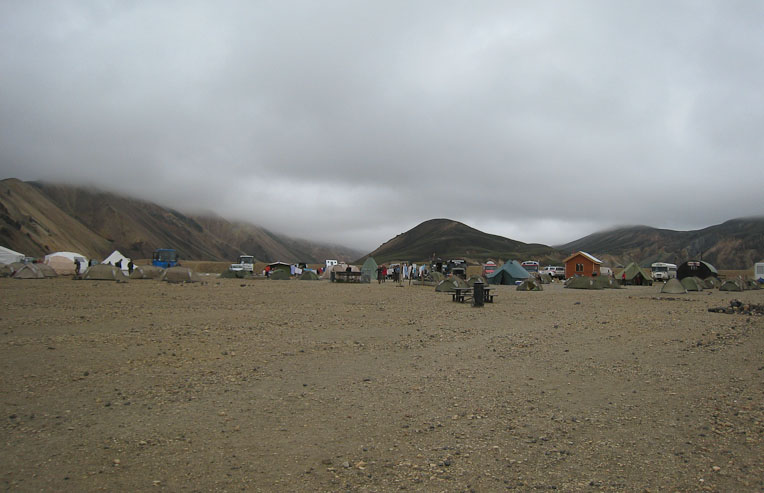
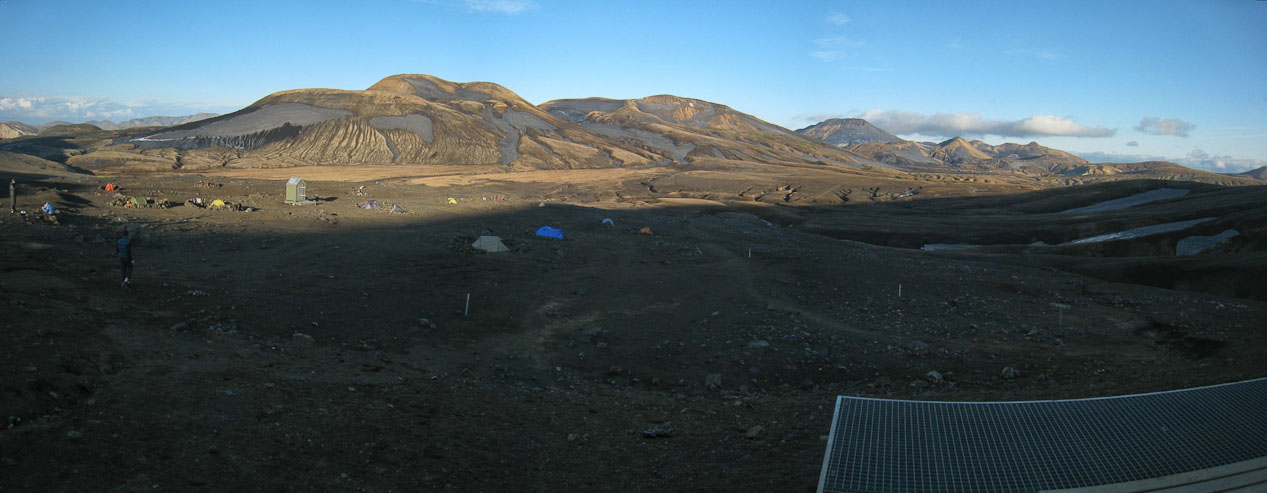
Beyond this snowfield, the trail leads to Hraftntinnusker hut, where we'll be camping tonight. The campground is a large barren flat area, with several rock rings signifying sheltered tent spots. We pay our 1000isk/person (same as it is every campground/hut on this trek), and set-up the tent in an available ring, first considering which rock ring would block the wind the best.
A look from the top of the pass, after crossing the snow field. The hut is visible on the right, and our planned dayhike is the mountain on the left...
Tents were scattered below the hut...
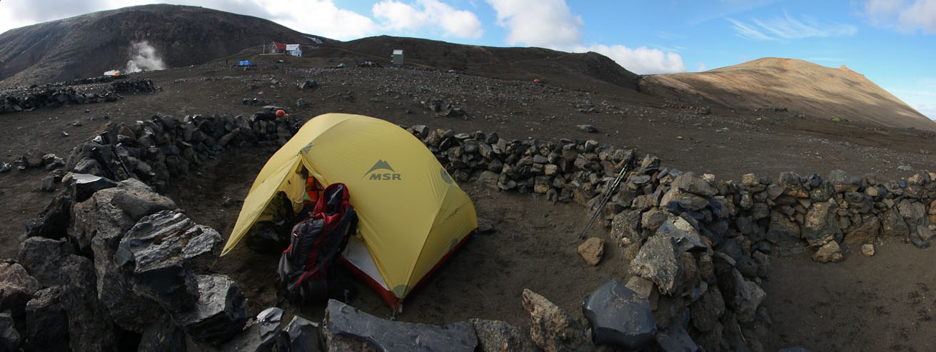
We set up our tent in a quality-looking rock ring. The hut is in the background...
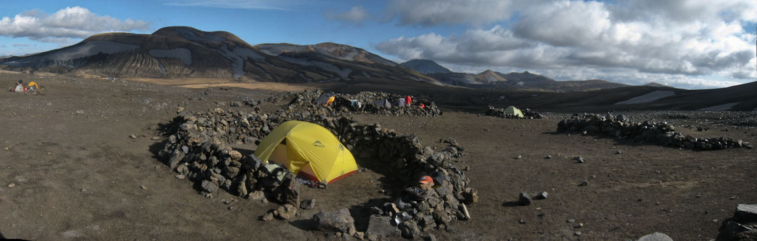
Another look at our tent in the opposite direction...
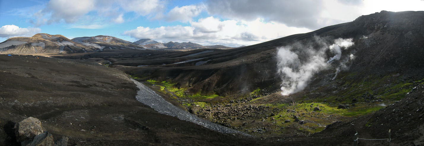
A view of the steam vents from the hut, when I paid the warden our camping fee...
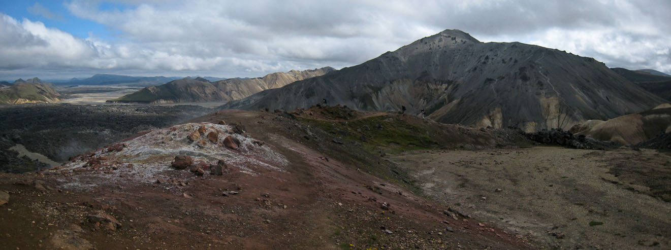
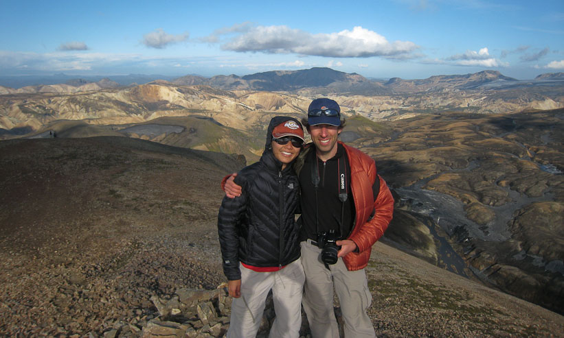
With camp setup, we decide to try a side hike up a nearby mountain. It's a short hike, but yields great views from our hike today, and what we'll visit tomorrow. The wind makes it chilly here. I actually use my telephoto lens for the first time (not that it was necessary).
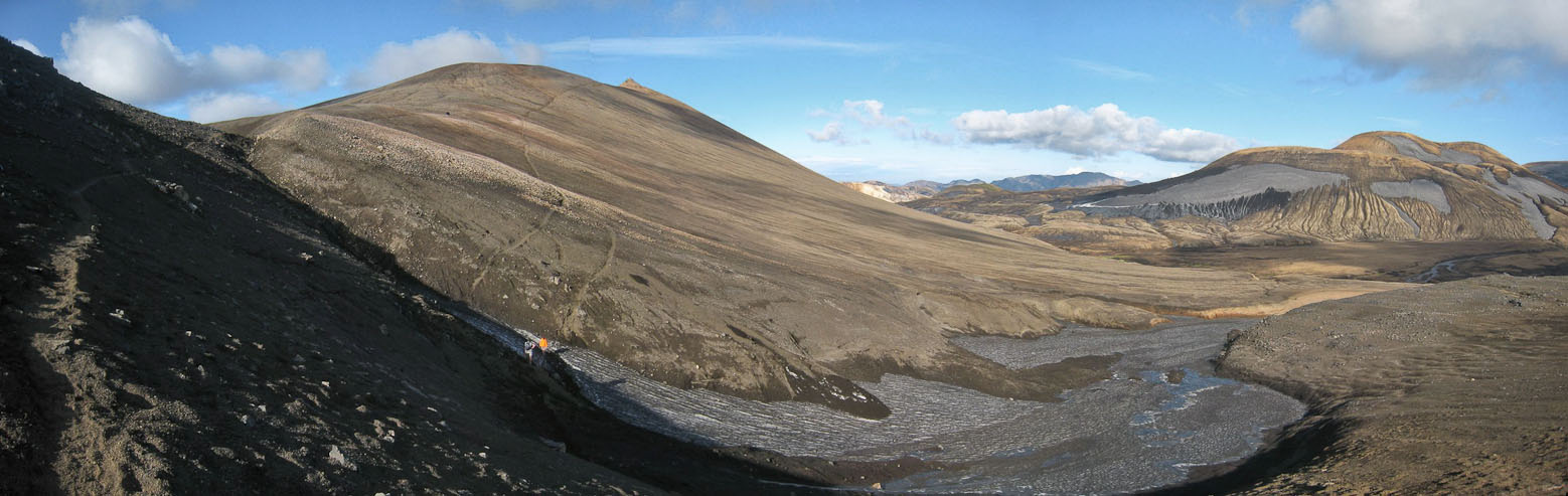
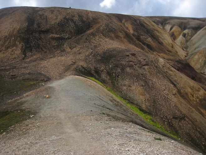
Lots of hikers were making the short side trip up this mountain. The high trail (on the left) saved some elevation loss, which I remembered to take on the return...
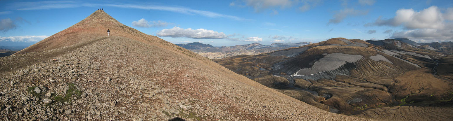
The hike was short, and we reached the ridge in 20 minutes...
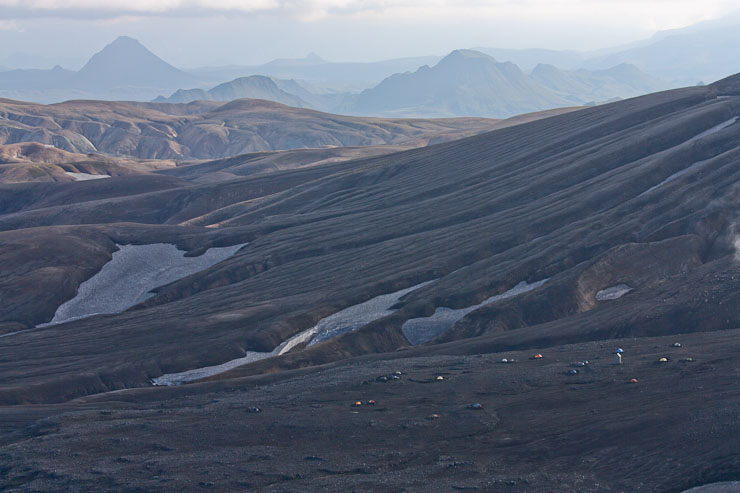
A look back down the ridge. Camp is on the left side...
We reached the top at 6:30pm, less than 30 minutes from camp....
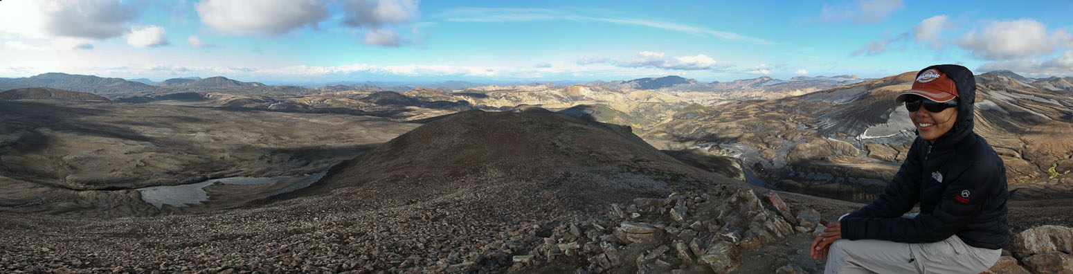
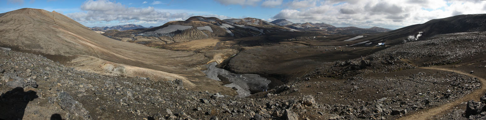
A look north from the chilly/breezy summit
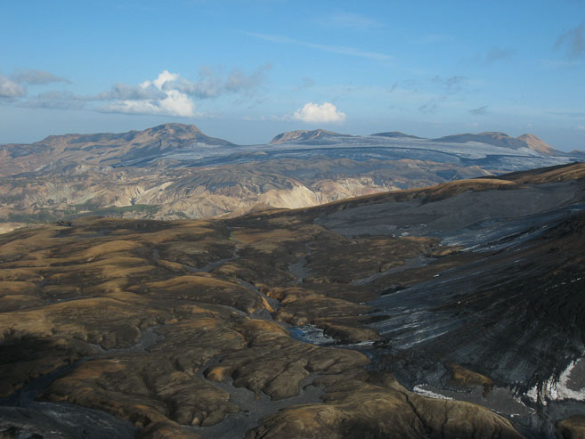
I used the telephoto lens to spot a small glacier. Also, a look back at the camp and hut...
The green moss was still thriving out here. The 2nd pic shows our future path tomorrow...
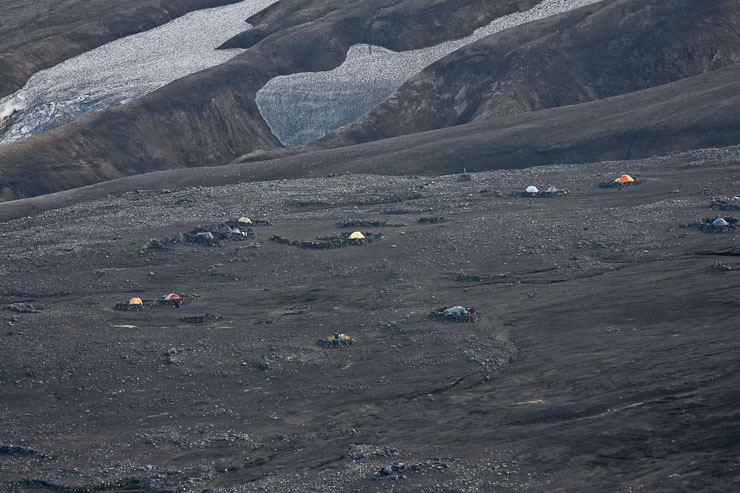
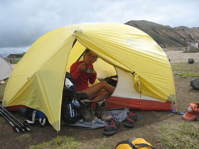
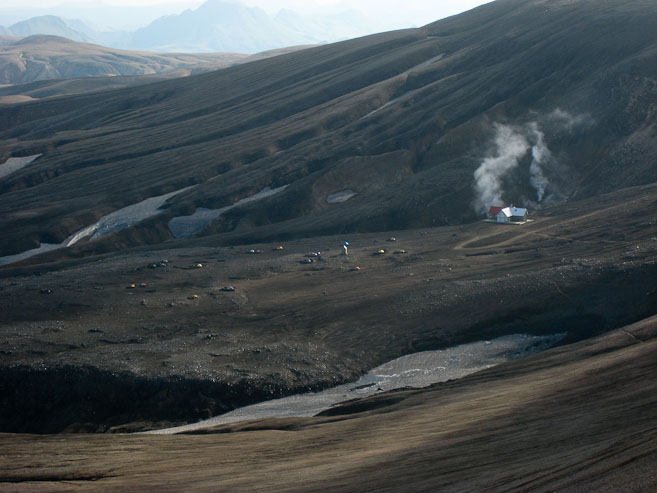
Our tent is the yellow one in the center of the pic. This camp is really out in the middle of nowhere. Impressive they built the nice hut here...
After 15 minutes on the summit, we headed back down, ready for dinner...
Next up is dinner! We bring our food and water bottles to a picnic table next to the hut, which offers a much appreciated shelter from the wind. Wendy and I bring out our bags of dehydrated "delicassies", which other campers, who are boiling pasta, look on with interest. I make another successful fajita dinner, and Wendy cooks up some aspargus soup with mushrooms, yams, and a packet of tuna (non-dehydrated), with some flax seed cereal to follow. We also try a small portion of our dehydrated pumpkin pie! Tastes like Christmas time. It's all good fuel for our turtle power (carrying our homes on our back).
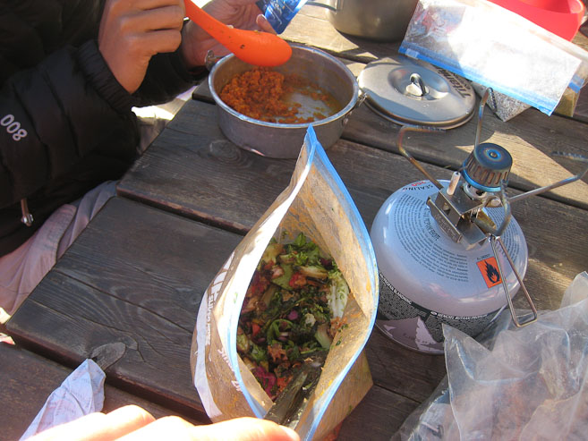
Wendy eats some yams, while I mix in the last of the lettuce we brought with my fajita mix...
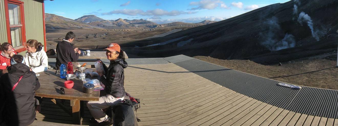
This was a great dinner spot. The hut blocked the wind, and the sun warmed us up. The scenery wasn't bad either, and the steam vents added to the atmosphere...
It's a long hike from our tent up to the hut where the bathroom facilities and water are. This hut only has a latrine, and no showers or hot water. At 3500', this is the highest camp on the trek, and likely will be the chilliest. We wash our dishes and brush our teeth before returning down to our tent.
A look down at the campground from the hut platform. It's a bit of a walk...
Tomorrow's hike calls for "steep descents", which have Wendy worried about the aches in her knees, and the worn grip on her soles. The trail has been pretty slippery on ravine descents so far.
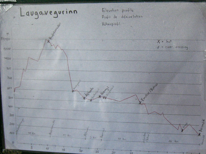
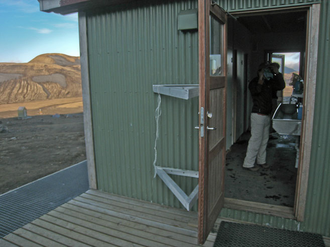
An elevation chart inside the hut shows that we're at the highest elevation point of the trek (1st X on the left). Also a look at the bathrooms/sinks, where we brushed and washed up before returning to the tent at 8:45pm...
When we return to the tent, we find that noisy neighbors have moved in to the circle next door, and show no signs of stopping their loud talking in a foreign language. Earplugs can only cut the volume a small portion.
Wendy says she wants a hamburger. She's massaging her leg with a small rubber ball.Back to trip Home