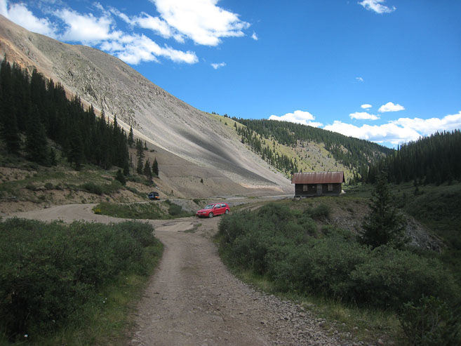
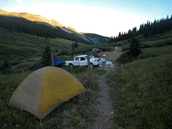
A look back at my car sitting on the north edge of Equity Mine, at the start of my hike. 2nd pic shows the steep rutted road that blocks passage of normal passenger cars, taken from the same place as the 1st pic...
My day started with a 6:30am alarm, oatmeal for breakfast, and some last minute packing/loading of the car, before I was on the road at 7am. Despite a couple rest stops, the 282 mile drive from Fort Collins to San Luis, CO only took 4:15, thanks to speedy I-25. I drove through the small town of San Luis, and up a dirt road leading to a shelf above a resevior, in search of a view of Culebra.
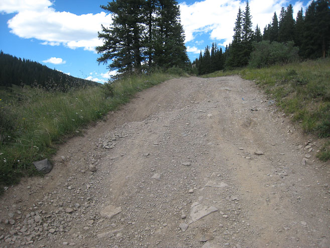
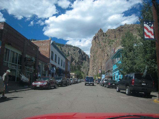
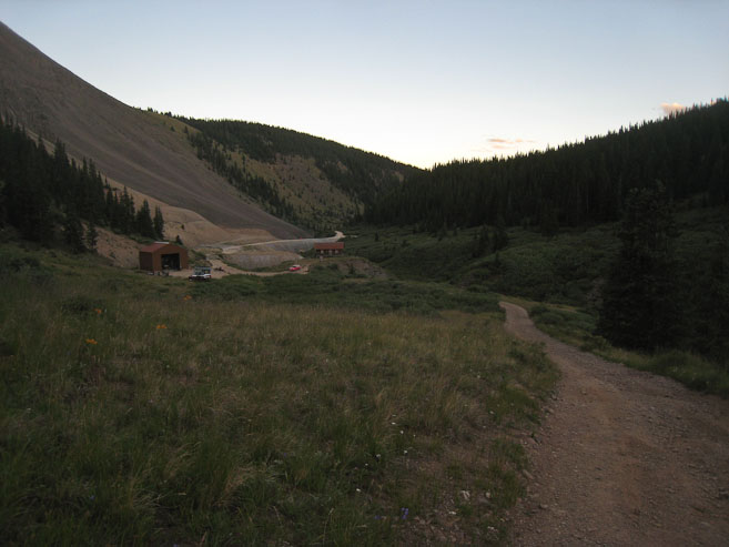
Having spent an hour on my side trip to view Culebra, I drove 110 more miles to Creede, CO, another first time town visit, to attempt a climb of San Luis Peak (purely coincident that I happened to drive to the town of San Luis, 100 miles away, earlier in the day). After stopping at the tourist center, and confirming directions to West Willow Creek Trailhead, I made my way north out of town, past an impressive mine, where the fire department now resides. My VW Golf GTI struggles up some of the steep dirt roads, but the surfarce was smooth, and I arrived at Equity Mine (the 2WD trailhead). I was tempted to try my luck further, but an oncoming Jeep driver recommended against it, and sure enough, there was a steep, rutted section of road just past the mines which I didn't want to pursue. I parked just below it, and started the ~1+ mile walk to the 4WD trailhead at 3:12pm. Decided not to bring the poles, since I wanted to jog back a lot of it, and this was supposed to be "easy" slopes. Man, I must have wished at least 12 times that I brought the poles during the hike...
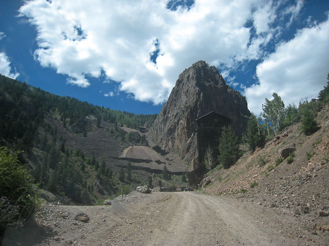
A look back at my car sitting on the north edge of Equity Mine, at the start of my hike. 2nd pic shows the steep rutted road that blocks passage of normal passenger cars, taken from the same place as the 1st pic...
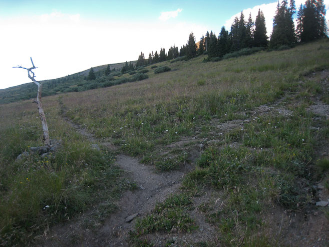
I made quick time up the 4x4 road, which was quite smooth most of the time. Too bad a couple rough spots had to ruin it for 2WD cars. I found one place to bypass a switchback in the road near a stream crossing, and arrived at the 4WD trailhead after 21 minutes. 3 Jeeps drove past me during this stretch, and no cars remained when I reached the trailhead at 3:33pm, which isn't too surprising, since most normal people hike early in the morning. Today's forecast called for 0% of rain though, which allowed me to attempt this afternoon/evening 14er hike. From the 4WD trailhead, it's a 10.6 mile, 3500' gain hike round trip. I was hoping to make it back to the car in ~4.5hrs from here.
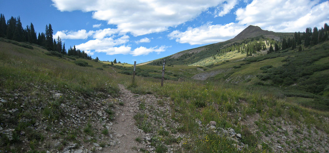
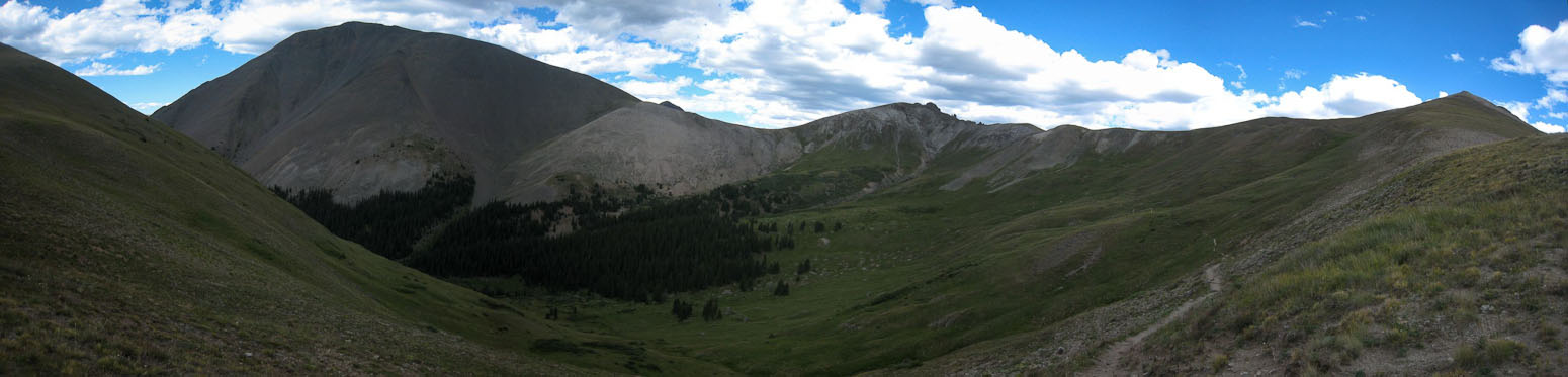
A look back at the valley where the trail starts on the left. I was wishing I had my poles ever since a few minutes into the hike, to help my speed, but was now locked in to grunting it out with my legs for today...
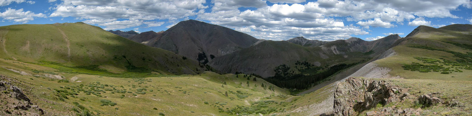
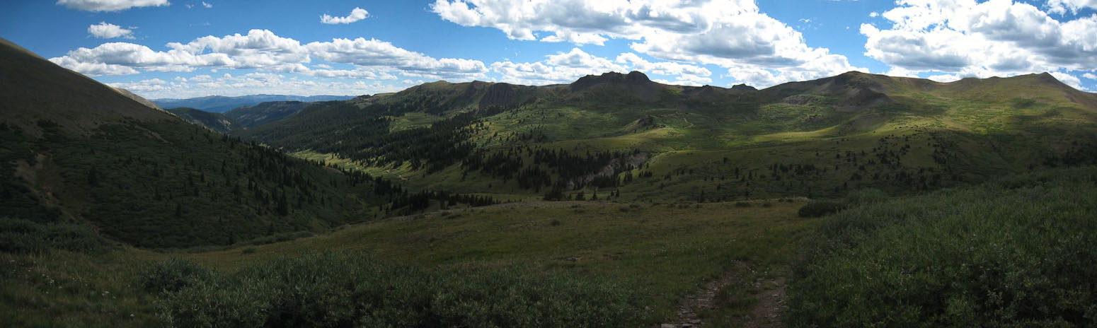
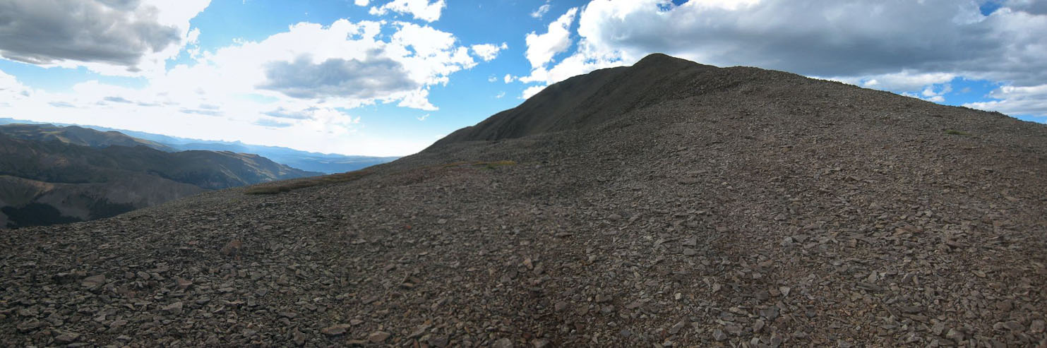
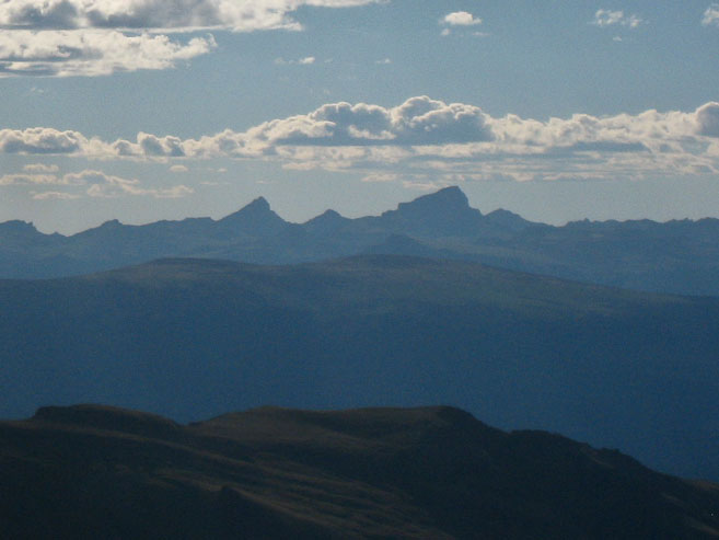
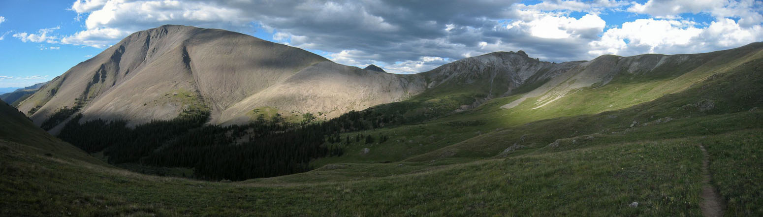
At the top of the pass, one is greeted with a great view of San Luis (in shadow) across the valley. It also becomes clear that it's a LONG way to the summit, as the trail contours around the valley to the right...
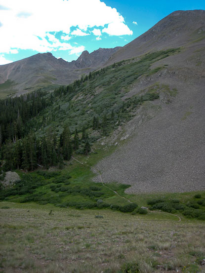
After waiting several minutes, hoping in vain for some sunshine on San Luis, I descended into the valley, I passed a few hikers on their way out, and wondered where their car was, since I didn't see any along the road. One took a pic of me. A look at some of the 400' descent into a valley forest. Too bad I'm gonna have to reclimb this on the way out...
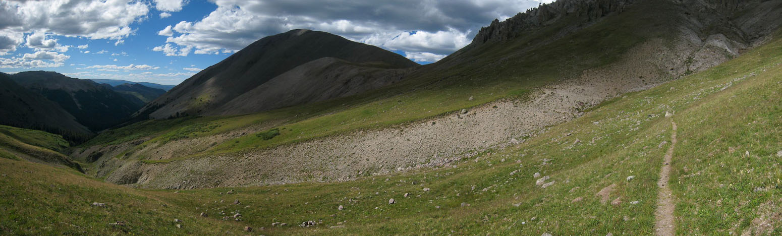
After passing through the forest, where some CO trail thru-hikers were camping, the trail led back into the open, in front of a mountain arm that rises into the middle of the valley...
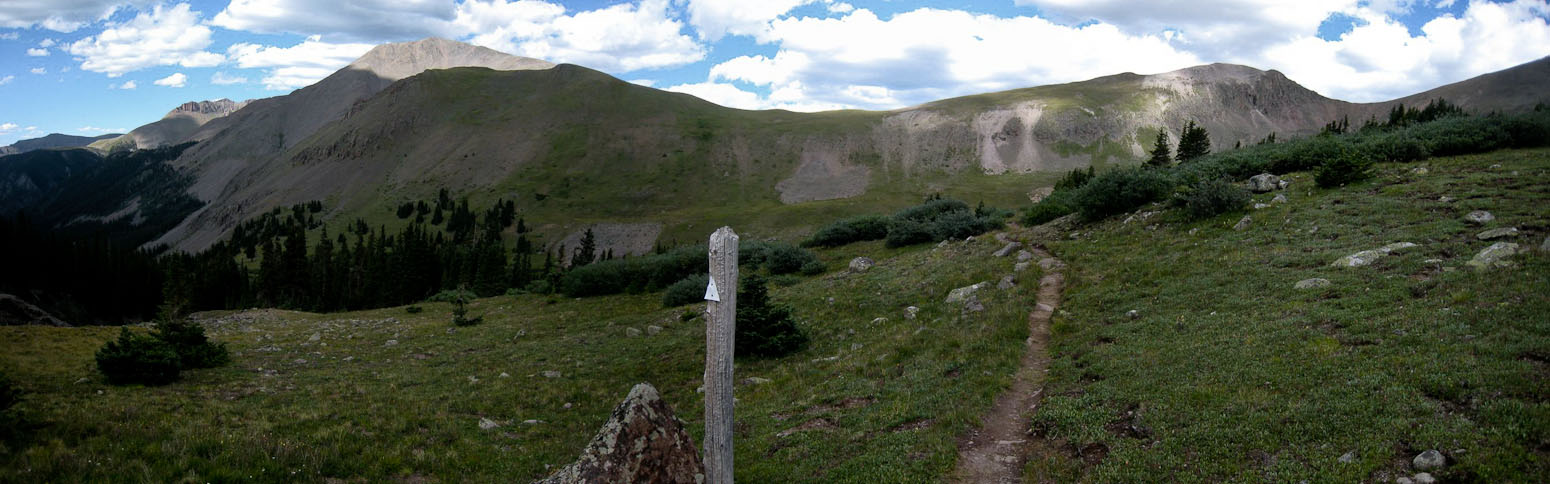
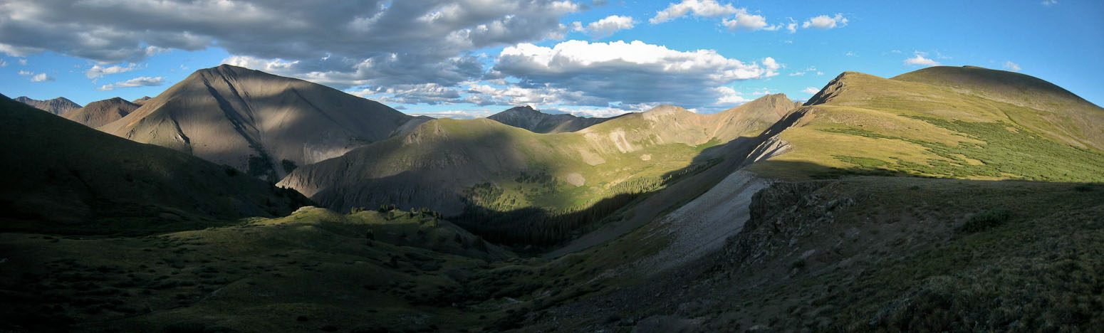
An ascent and descent of the arm led to more contouring around the valley...
There were more clouds than I had expected, based on the forecast, but the clouds were largely friendly looking. A CO trail hiker passed by, and asked if I had a car at the trailhead. He was looking for a ride into Creede to re-supply over the weekend. I'm not one to pick up hitch hikers, but something tells me a friendly guy several miles into the wilderness is not the crazy dangerous type. I told him to look for my red car (only one on the road), and I'd be back to give him a ride, but probably not til ~8pm. Todd was his name, and he seemed quite happy to have found a ride.
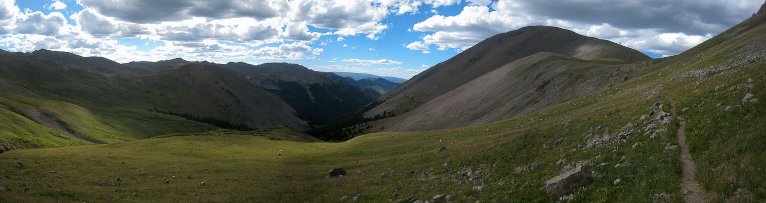
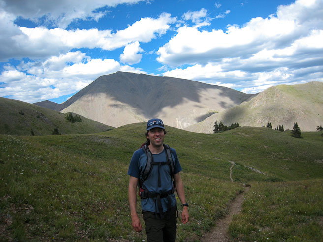
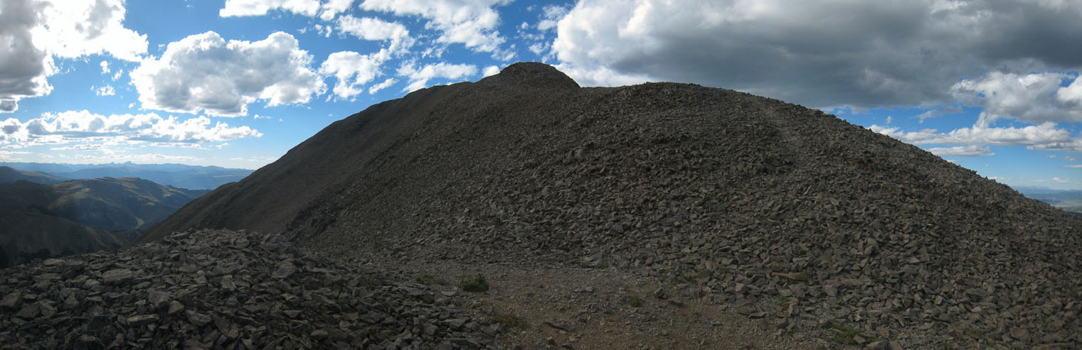
A bit further up the trail. Not terribly exciting of a hike, though the pics came out good (better than in real life)...
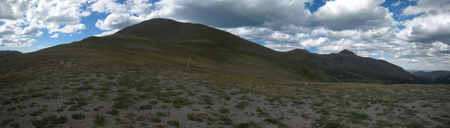
I reached the saddle of the ridge to San Luis at 5pm, and targeted 6pm to reach the summit (1500' and ~1.2 miles left). Man, wish I had my poles...
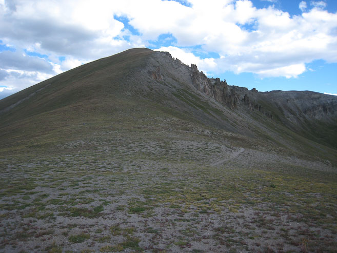
Not a lot of exposure in this gentle ridge...
A feint path led up the broken rocky ridge. I trudged along. Not much to look at...
At 5:47pm, the summit was in view, and I knew I'd make my 6pm goal easily...
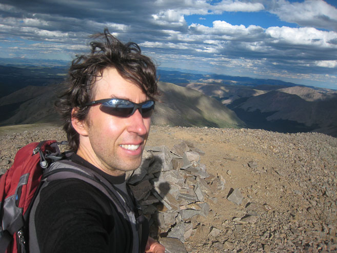
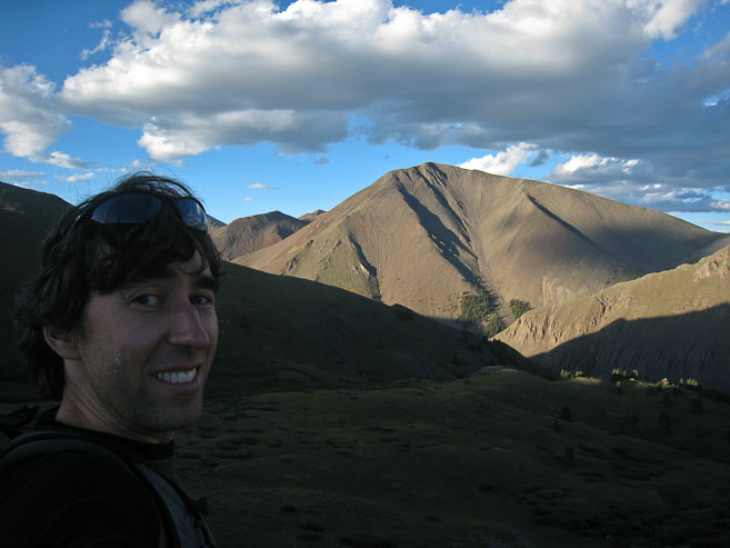
I made the summit at 5:48pm, and had the place all to myself. I could see Wetterhorn and Uncompahgre, tomorrow's 14er goals, to the southwest...
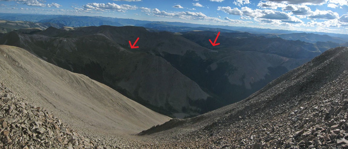
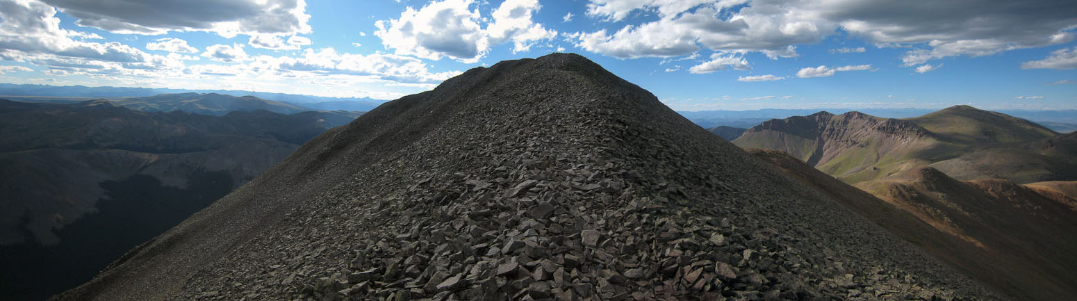
A look across the valley. The arrow on the right is the pass from the trailhead, the arrow on the left is the arm dividing the two basins...
I still had a 6.5 mile hike back to the car, with a good 500+' of ascent to re-gain, and plenty of driving to do tonight, so I didn't stay on the summit for long, starting my descent at 5:56pm, in hopes of making it back to the car by 8pm.
I jogged the easy trail descents, and looked back to see San Luis finally in sunlight!
I went into autopilot, retracing my steps, focusing on my strides, eyes always focused on the surface ahead, moving quickly. I ran into a camper in the woods, who asked if I thought there would be enough people aroundn tomorrow for him to bum a ride into Creede. Odds were good for a 14er on a Sunday. I guess one should come to West Willow Creek TH knowing that you very well might offer a thru-hiker a ride into town.
I reached the ascent back to the pass, and hoped to reach the top while the sun still shined on San Luis. Man, I wish I had my poles...
I waited a couple minutes, started to continue on, but then decided to wait a couple more minutes, and sure enough, San Luis emerged from shadow. It was 7:20pm when I left the pass, on good schedule to make it back by 8pm.
I arrived back at the 4x4 trailhead to find a few cars and campers awaiting a summit bid tomorrow. It was 7:36pm when I arrived here, and spoke briefly with a person about hiking the mountain. Then took off down the dirt road, arriving at my car at 7:55pm, just before sunset...
Todd was waiting near my car, having just ate his dehydrated dinner. I cleared my front seat, and gave him a ride back to Creede, chatting about backpack trips, CO mountains, the Tetons, and gear. Todd was in the midst of hiking the CO trail from Aspen to Durango, and had already hiked the CO trail from Denver to Durango twice. He was tremendously greatful for the ride. It's fortunate for him that the weather allowed me to make the afternoon attempt, and thus be available for the ride.
It was mostly dark by the time I got to Creede, where I dropped him off on a Main Street corner, and immediately began the hour long drive to Lake City. Darkness set in, and I missed out on the scenery, but took advantage of the light traffic to arrive in Lake City ~9:20pm. I parked under a street light, and ate some canned fish and fruit on a picnic table, while chatting with Wendy on the phone. I even found there was free wifi, and sent my family an email update. After prepping my car for sleep, and my backpack for tomorrow, I took advantage of the public restrooms to wash and brush up, before starting the drive to Matterhorn Creek TH ~10:30pm.
It was 10.8 miles from town, on a dirt road, which got progressively worse. The final 2 miles, on North Henson Creek, where particular slow going for my car, and I couldn't avoid 2 soft scrapes in the last mile, over a couple of washout areas. There wasn't much parking available at the 2WD TH, but fortunately only 2 other cars were there, and I pulled into a slanty available spot.
I debated long and hard about when to wake up tomorrow, finally settling on 4:45am when I went to bed at 11:30pm, and then changed it to 4:15am 15 minutes later, after deciding an earlier start on such a big hike was more important than trying to align sunrise at a Wetterhorn viewpoint. At 12:15pm, I noticed my nearby backpack was wet, and found a leak in my water bladder, leading me to empty the pack's contents and hang up some items to dry in the few hours available. Ugh... In the end, I managed a couple hours of sleep, finally finding a good position in my trunk compensating for the slant of the ground.