

I never planned to hike Culebra, whose $100 admission fee seemed to border on "ridiculous", but with an opportunity to join a friend on his 14er finisher, and realizing that I was getting too close in my 14er count (48) to let $100 stand in my way of completing the same milestone, I decided to give Culebra a go.
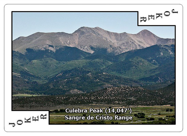
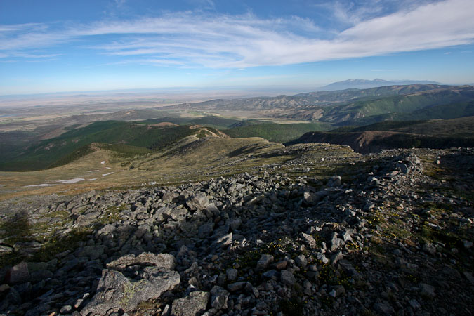
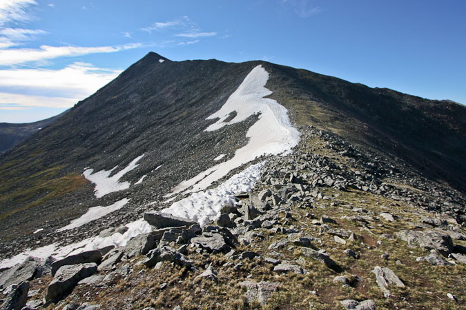
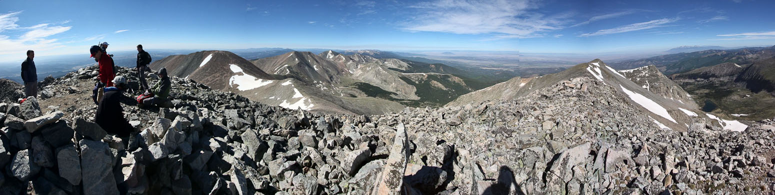
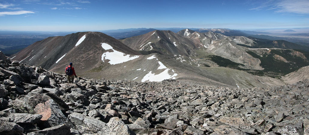
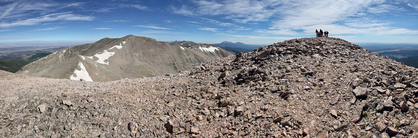
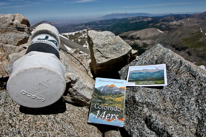
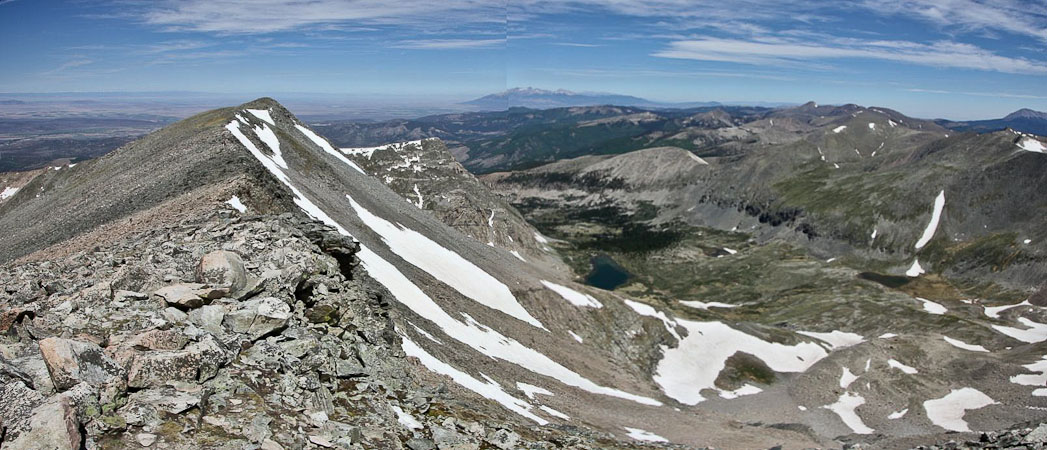
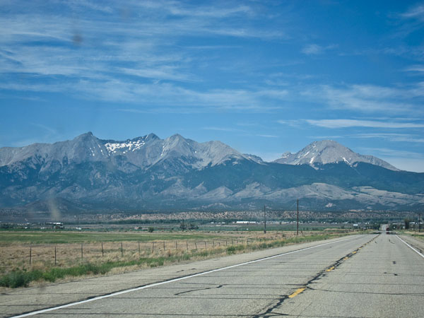
Culebra is assigned a JOKER in my 14er playing cards, because paying $100 to climb this 14er on private land does seem like a joke. Culebra is the right-most "doublr-bump" in the center of the pic. Red Mounatin is on the right...
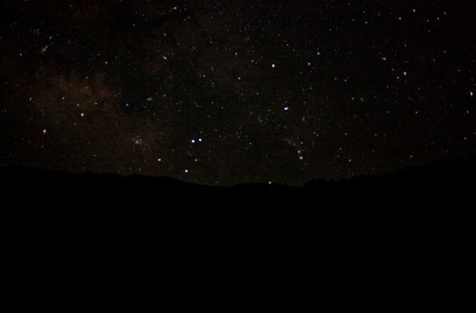
We left Fort Collins ~3:15pm, suffered through some slow traffic in Denver, ate dinner at a Subway in Monuement, and arrived at the gate to Culebra under the last bit of twilight ~9:30pm. Numerous vehicles were line up along the road, but we found a couple spots right next to the gate, which was conveniently next to the camping area immediately beyond the gate. We quickly found spots for our tents in the sparsely vegetated field, which contained a port-o-potty, and then marveled at the array of bright stars emerging above. I had cell phone reception for awhile there, surprisingly.
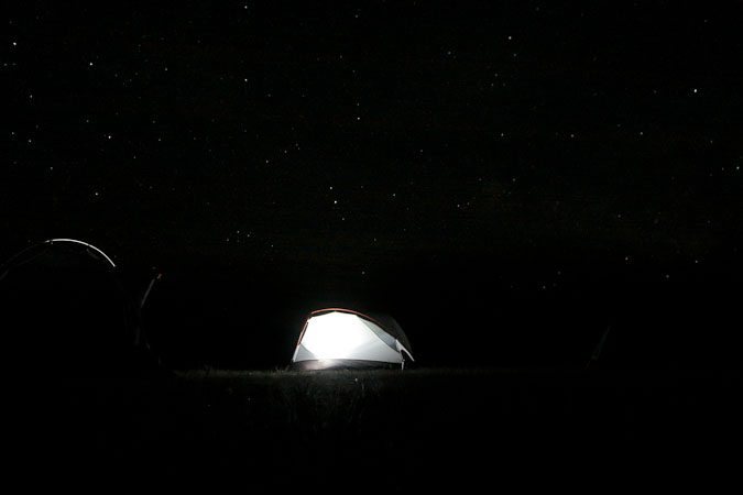
I've never slept better on a pre-14er night, getting a solid 5+ hrs of sleep. It helped that the gate wouldn't be unlocked til 6am, leaving us no reason to get up before 5am. The air was still with mild temps all night and into the morning.
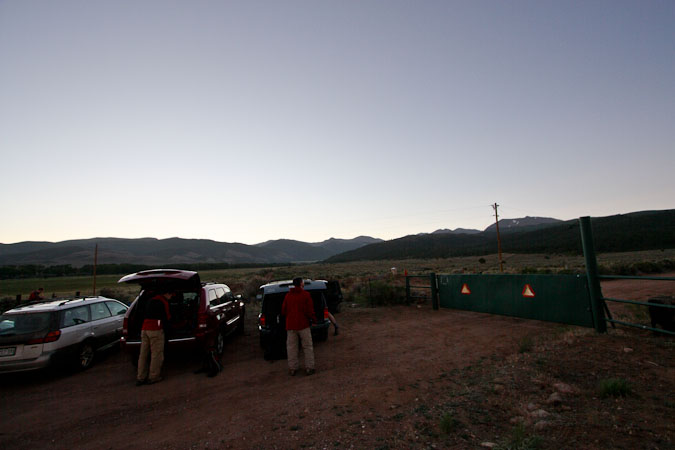
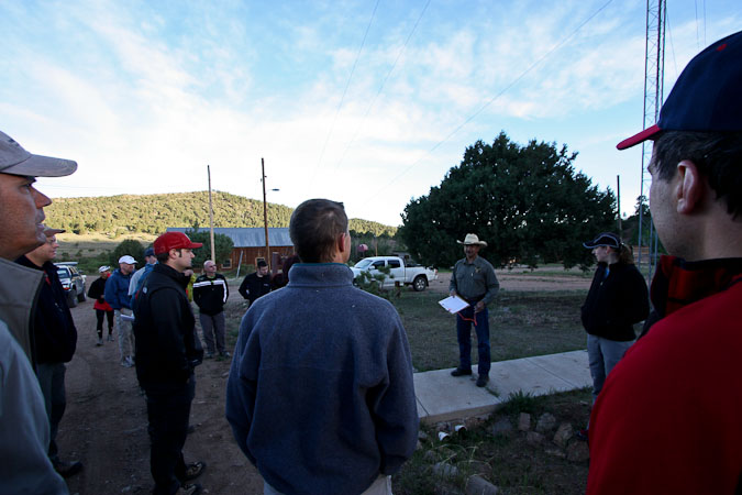
We were ready at 6am, when Carlos promptly arrived to open the gate, telling us to drive up to the ranch where he'd receive our payments. A line of 4x4 cars paraded up the smooth dirt road a few miles to the ranch, where we queued up and gave our cash or checks. We decided to pay an extra $50 to hike Red Mountain, one of CO's highest 100 peaks, in addition to the $100 to hike Culebra. The extra $50 seemed a bit excessive for an additional sub peak, but if we ever decided to tackle the centennials, we'll be glad we climbed it.
Carlos was ever the courteous professional, and gave us an info talk before sending us up the 4x4 road towards the trailhead. You could park at Four-way (11,200') to make it an "official" 14er hike (3,000' gain), or continue to the end of the road ~11,700'. We, along with over half the ~30 hikers, drove to the end of the road.
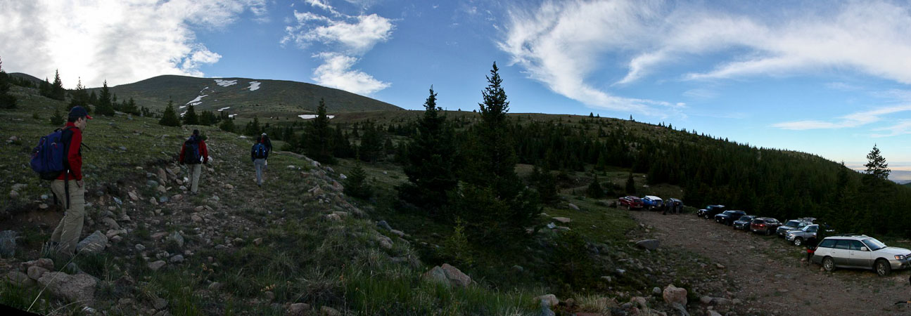
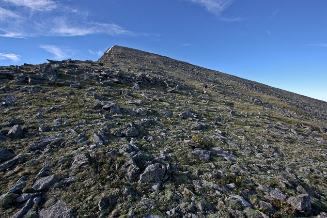
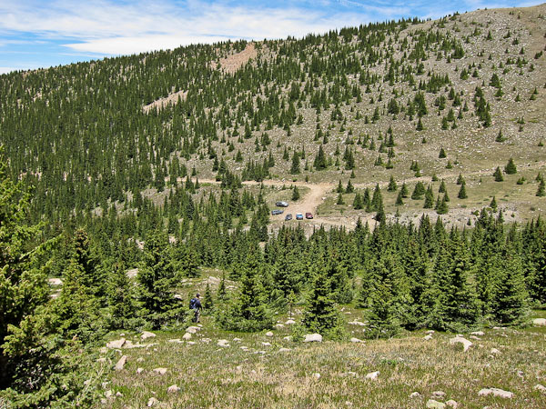
We start hiking at 7am, taking the ridge route to the left of the parking area...
We were told to hike a different route up and down. So we decided to take the ridge route on the ascent, staying to the left from the trailhead, and following a feint trail that soon disappeared into the tundra. We would opt for the "Roach route" on our return.
When we reached the ridge, we turned right, and followed it until we had a view of Culebra Peak in the distance. We then started a gentle descent to a monster cairn, eventually dropping ~400'.
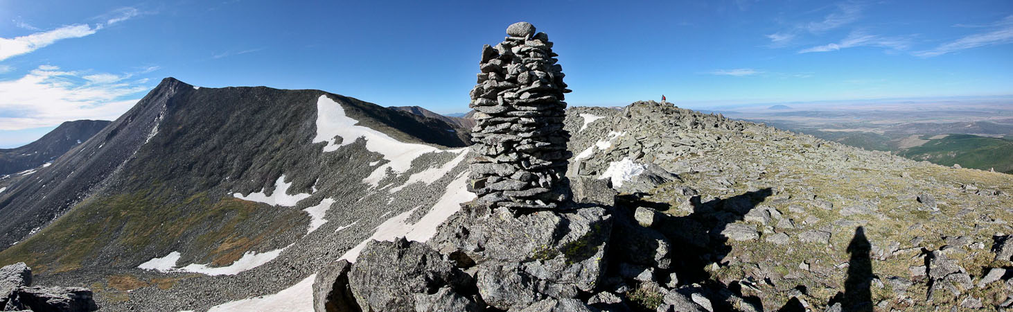
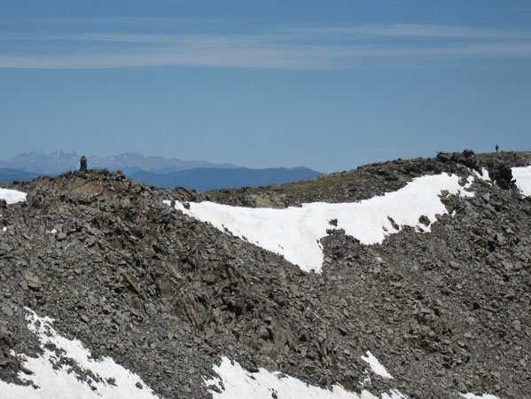
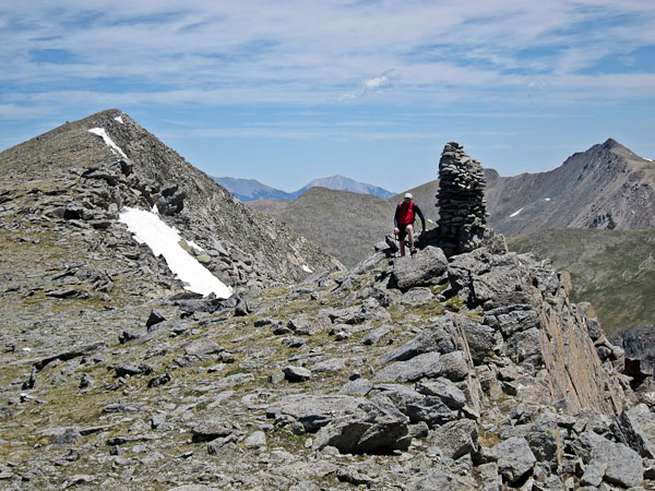
The famous mega-cairn!
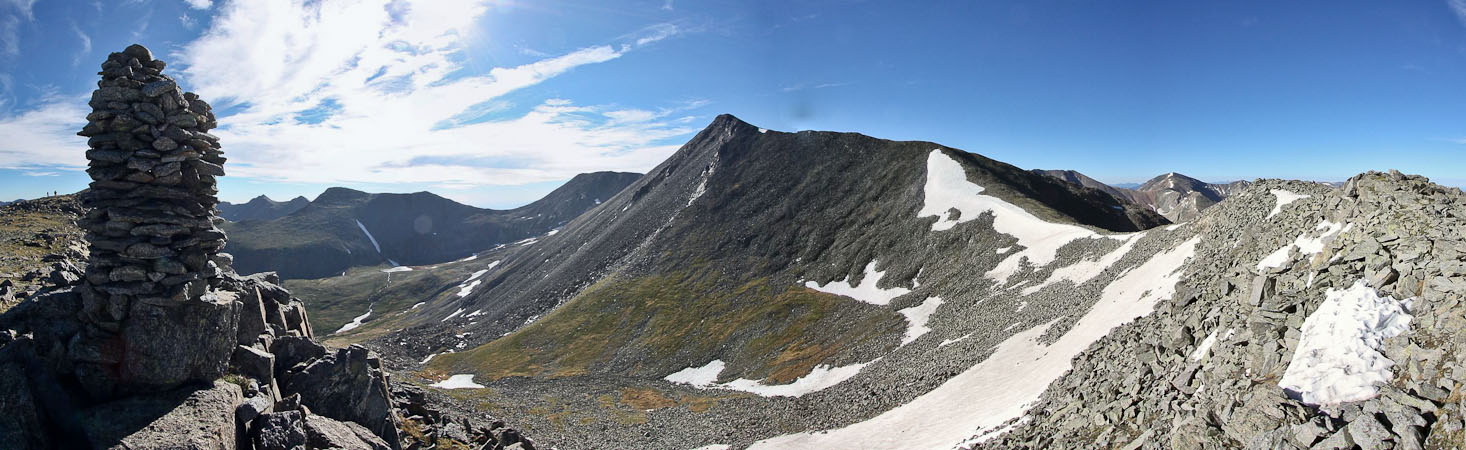
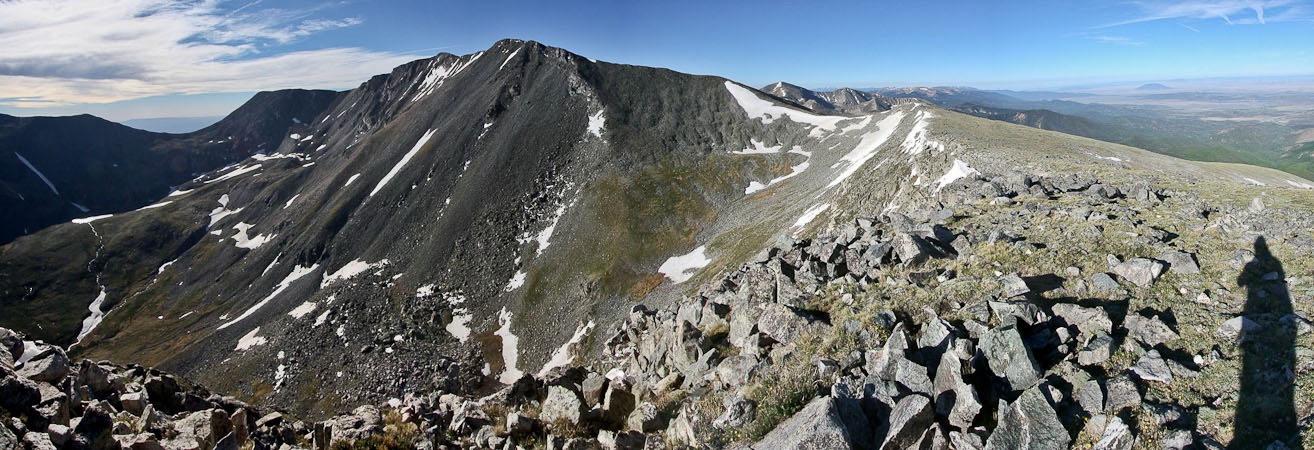
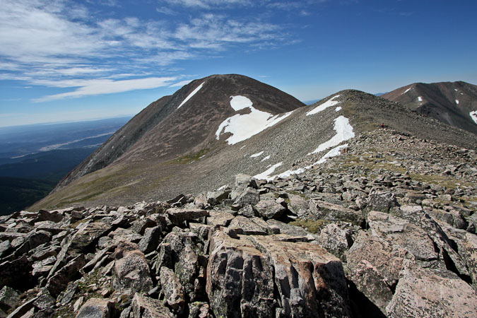
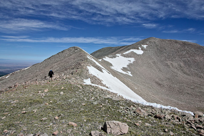
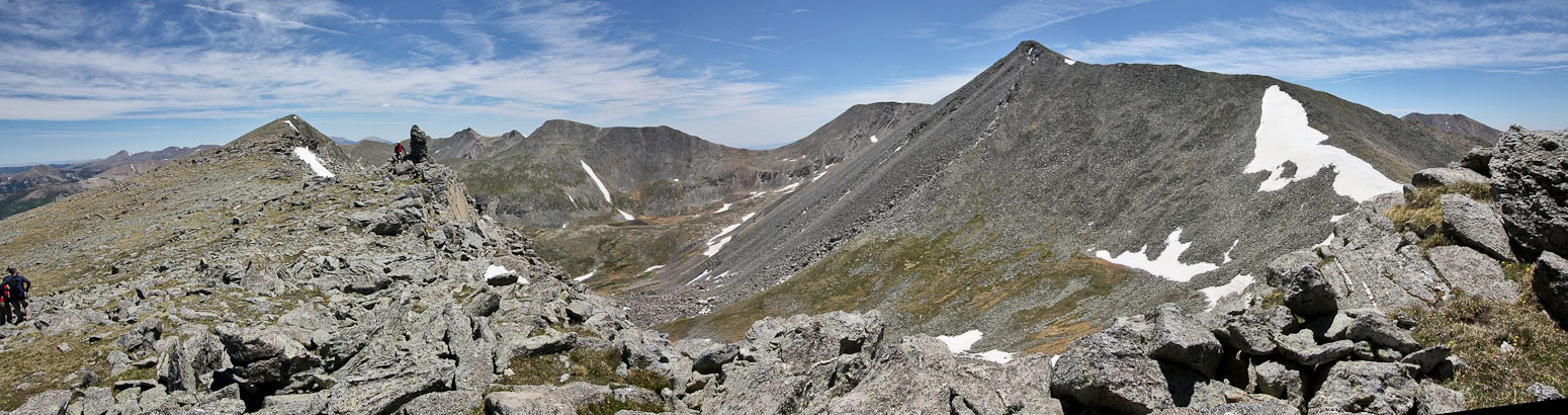
Culebra Peak is blocked by the false summit here...
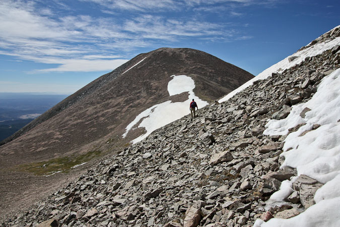
Still a dip in the ridge ahead, before the climb to the false summit...
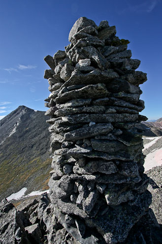
I wonder who built this cairn...
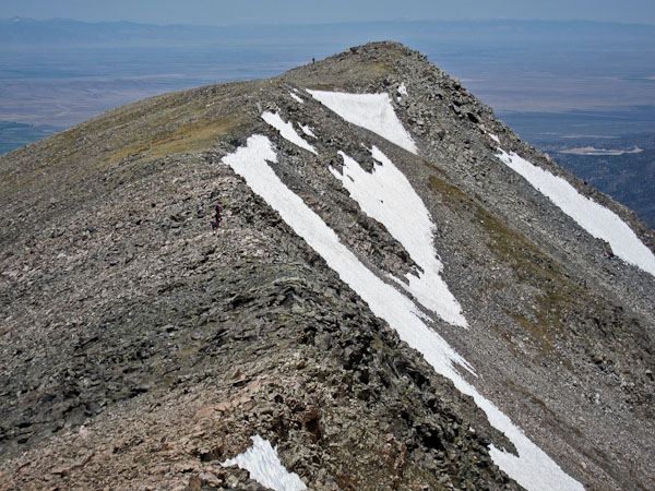
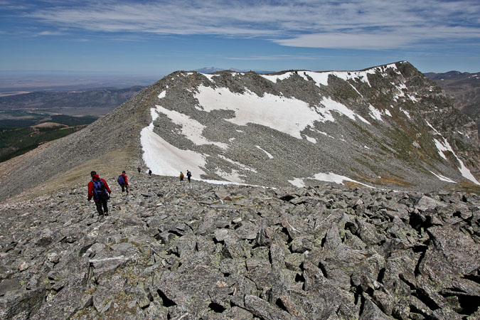
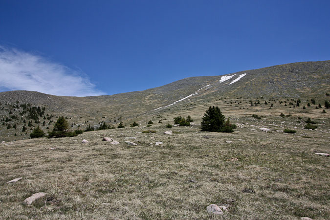
Culebra Peak hid behind a false summit, as we continued on the gentle slope.
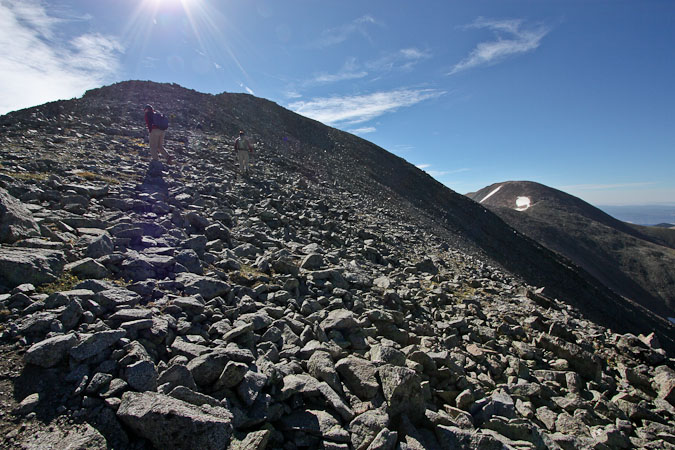
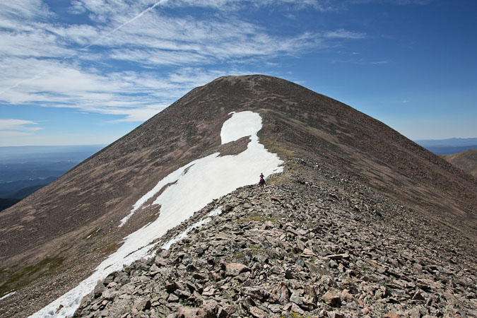
Looks like the summit is at hand, but this is the false summit...
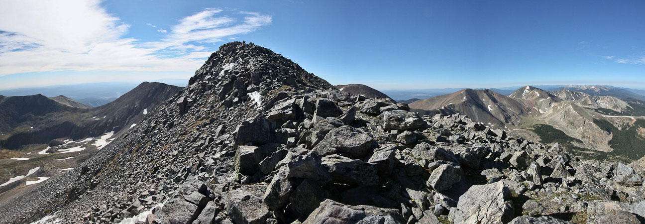
Upon reaching the false summit, the true summit was ~.3 miles away, with more gentle gain.
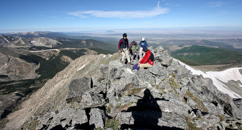
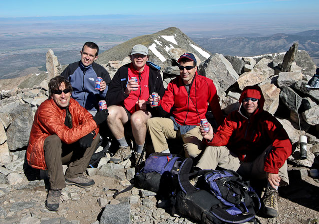
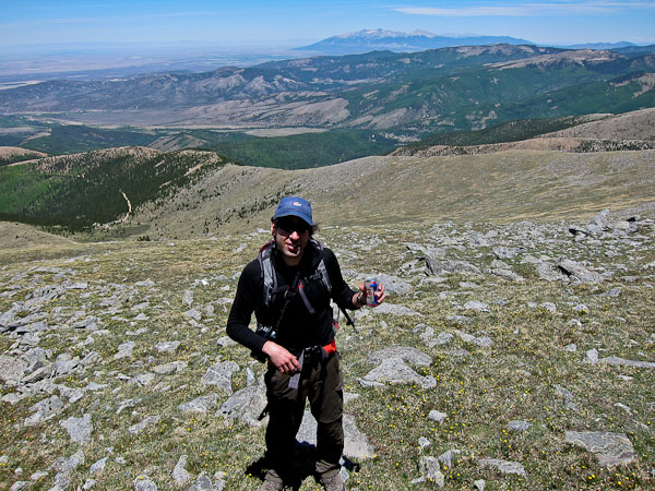
We reached the summit ~9am, 2hrs since leaving the trailhead.
We all carried up a beer in celebration of Dave's final 14er! I also surprised everyone by pulling out a watermelon, knife, and cutting board from my backpack, and sharing it with everyone on the summit. Too bad I still had to carry a garbage bag of watermelon rinds the rest of the day, but it was significantly lighter.
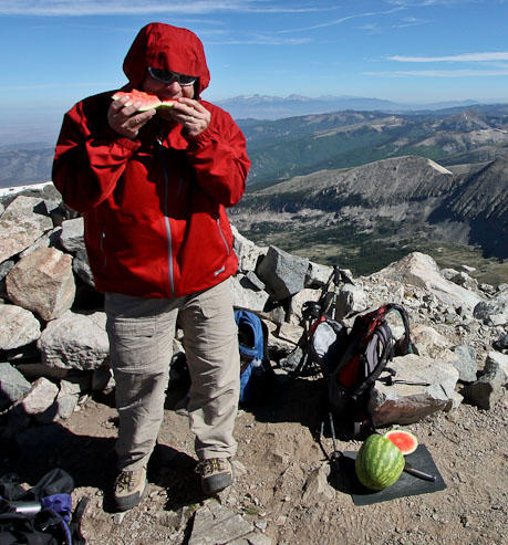
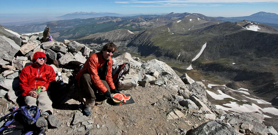
Fortunately there were plenty of people on the summit to help finish off the watermelon...
After a the watermelon was gone, descended south into the fierce wind, towards Red Mountain. It would be ~500' descent and gain, over ~1 mile.
We bypassed the hump on the ridge, staying to the left...
The ~500' climb up Red Mountain was fairly gentle, and not too loose...
We summitted Red Mountain ~10:15am, and met much of the same crowd that was previously on Culebra. After a short rest, and a peanut-butter and banana tortilla, we retraced our steps towards Culebra.
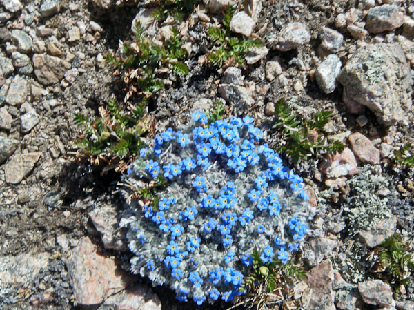
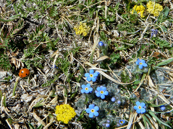
Tom was observant, and took some photos of alpine forget-me-nots, and a lady bug at 13,500'...
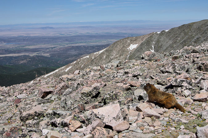
Heading back to Culebra... I spotted several marmots all over the trails today...
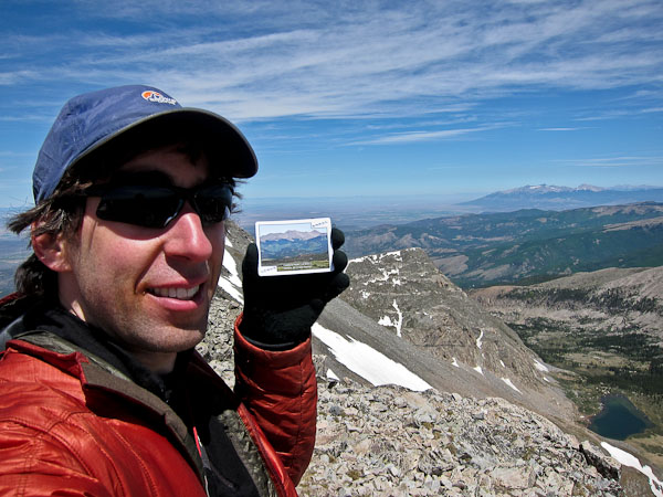
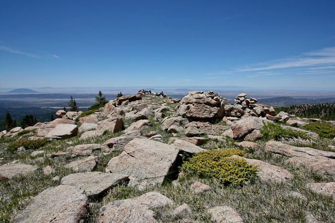
I had forgotten to take pics of my 14er cards on the summit of Culebra, so I climbed back to the top, while the rest of the group traversed west of the peak, to join the ridge at a lower elevation.
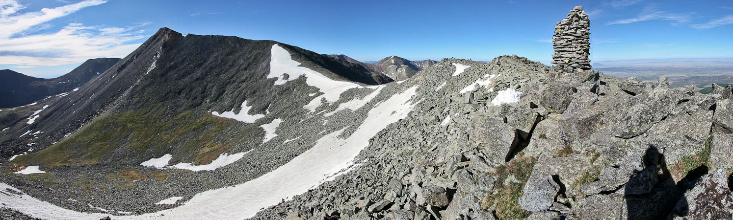
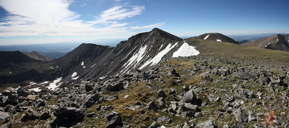
The rest of the group rejoined the ridge between the false summit and Culebra...
Looking at the false summit from Culebra...
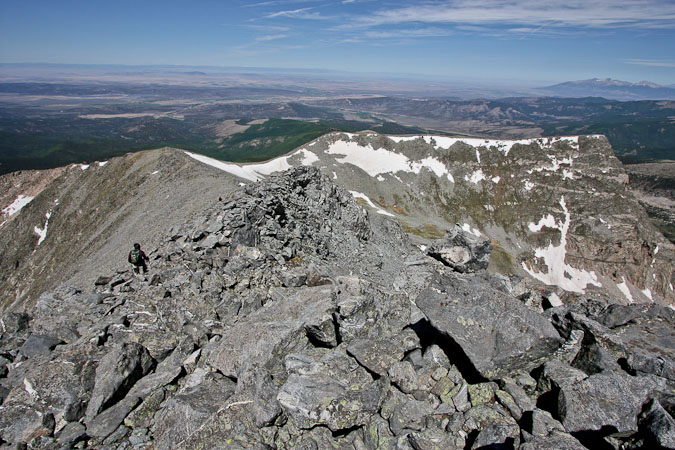
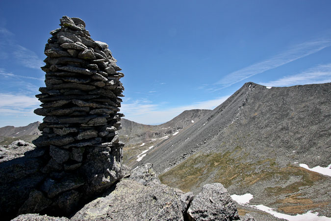
1st pic: The rockiest part of the hike. 2nd pic: The giant cairn from a distance...
Descending down to the giant cairn. Despite Dave being super tall, the cairn still looks huge...
A last look from the ridge before dropping down to the Roach Route...
At the dip in the ridge, where the giant cairn stood, we turned west, and cut down towards the trail head (following the Roach Route), instead of re-tracing our paths up along the ridge. Turns out the Roach Route was a lot faster, and avoided the extra 400' regain on the ridge.
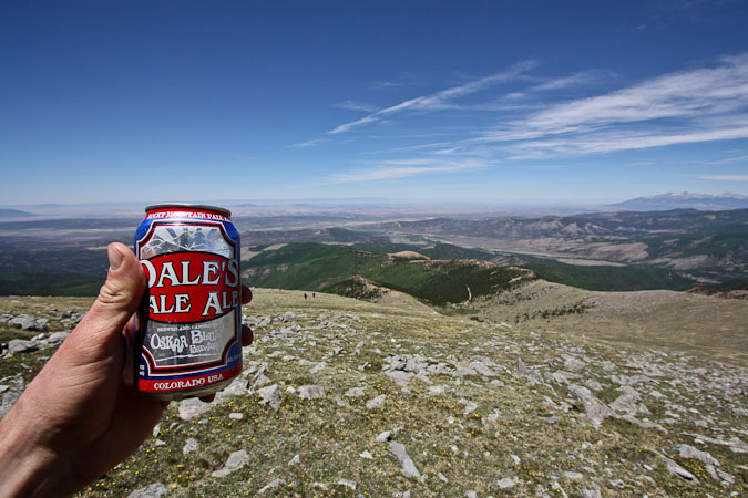
I had saved my beer, to enjoy during the relaxing descent. Wow, Dale's Pale Ale is great! 6.5% alcohol too, which probably equates to like 10% at ~12,700'.
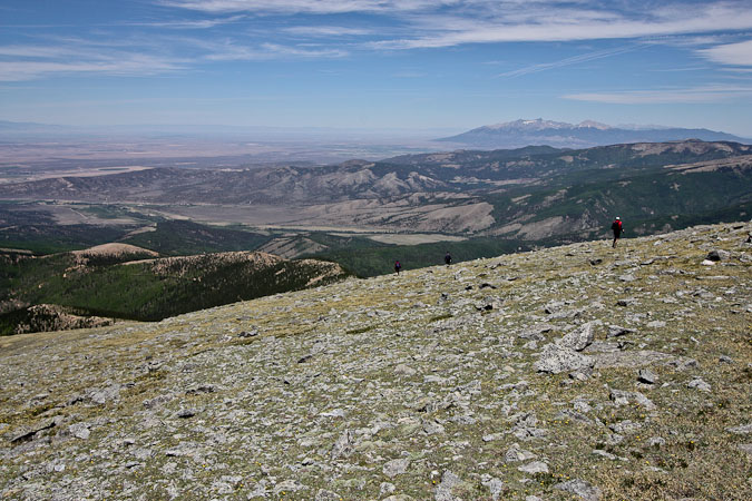
Looking back up at the slopes we descended. There was a rocky outcropping, just above the parking lot, suitable for a rest...
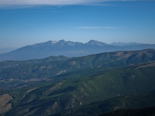
We returned to the car ~1:15pm, and drove back to the ranch to sign out, and pick up the lock-box code for the key to the gate. I left a deck of 14er cards for Carlos on his desk before leaving the ranch. On the drive out from San Luis, we stared at the Blanca massif, including tomorrow's destination for Tom and I: Mt Lindsay!
My thoughts on Culebra... Pretty much everyone on the trail has at least 45 14er summits under there belt, which isn't surprising, as it takes a hardcore 14er lover to pay $100 for the privelige of hiking this mountain. Culebra doesn't have much character to make it stand out from other hikes, but I'm glad we did Red Mounatin, which added some intimacy with this area, and filled out the day. Culebra offers a good excuse to visit this part of the state, just 7 miles north of New Mexico, and I developed a desire to climb the Spanish Peaks nearby sometime in the future. In fact, given their scenic location between the Blanca Group and Culebra, and the price (free), I'd bet that's the secret gem for this region.
In the end, Culebra felt like a check-off mountain today, but I'll also remember it as Dave's finisher, and the 14er that I summitted with a watermelon in my pack.