

Fresh off a successful climb of Culebra and Red Mountain earlier in the day, Tom and I made the long drive from San Luis to Walsenburg, and on to the Huerfano/Lily-Lake Trailhead, for our 2nd 14er of the weekend.
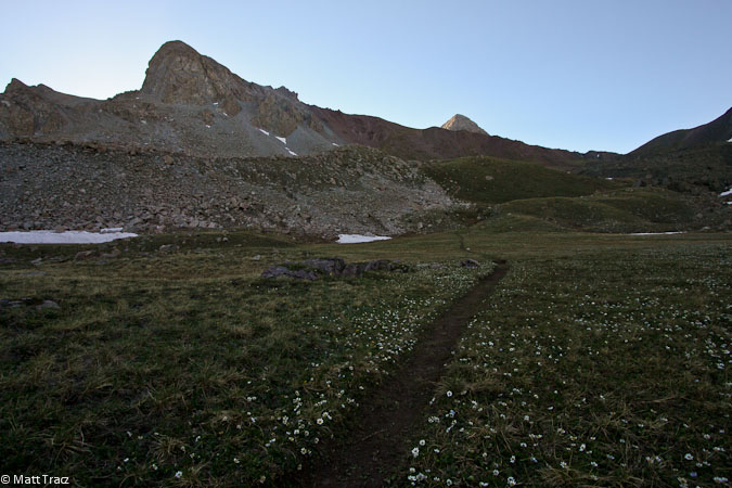
We arrived ~6:40pm, and quickly scouted the area for a good campsite. We walked ~200m up the trail to inspect the scenic meadow, but it didn't look right for camping, so we found a couple small clearings in the woods near the parking area to set up our tents. Of note, there was a lone passenger car at the trailhead, surrounded by bigger vehicles.
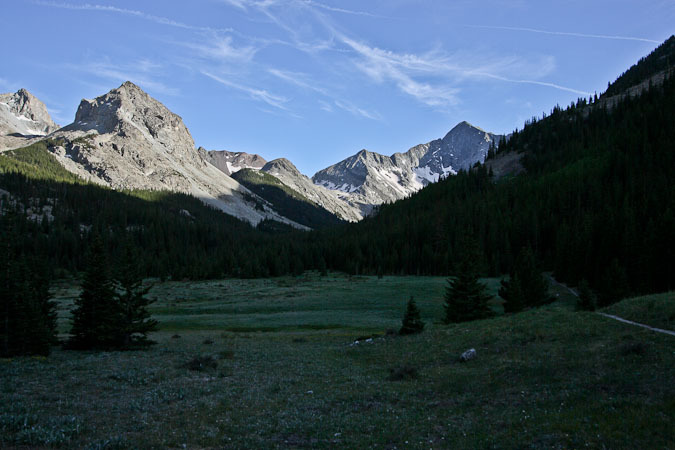
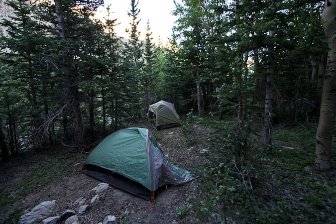
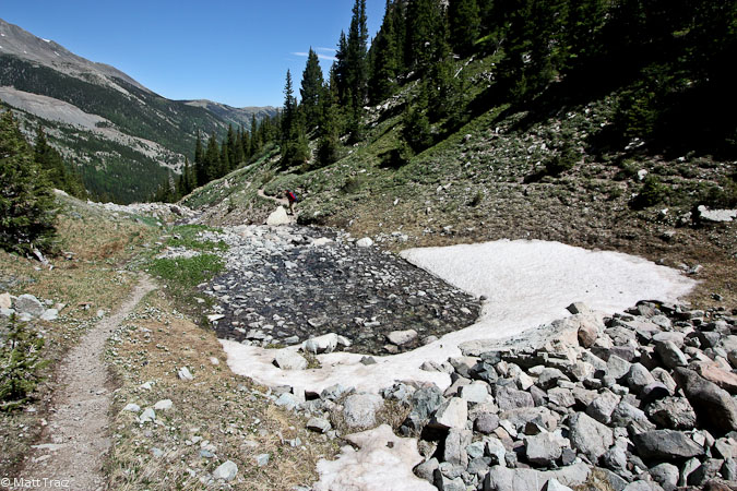
We had plenty of time to prepare our gear for tomorrow, and have a late snack/dinner overlooking a small gorge. The temps were warm at 10,660' this evening. I debated about staying up to take some star pics, but eventually realized rest would be best.
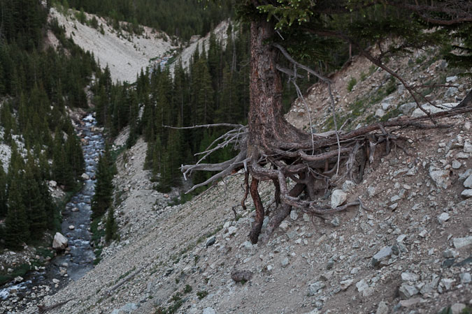
This tree is working hard to survive a recent landslide...
Unfortunately, my body wouldn't sleep, and after a few hours lying around, listening to the wind howl in the trees, I decided to get up and check out the stars. Clear skies again, though the stars seemed brighter last night at Culebra. I grabbed my crosswords from the car, and worked my brain until I finally fell asleep after 1pm, wearing earplugs against the noisy wind.
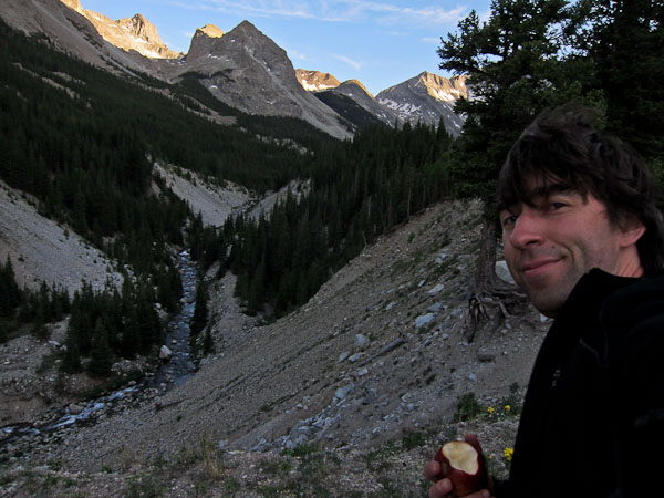
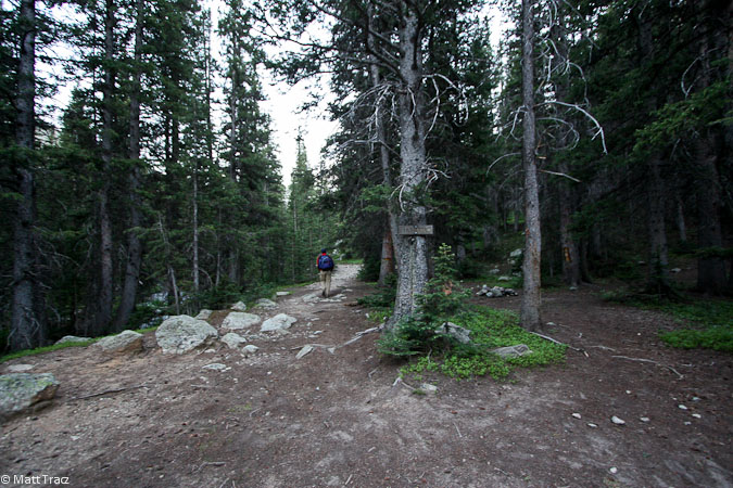
After ~2.5+hrs of quality sleep, I was up at 4am, and noticed the wind was more calm. I layed around another 20 mintues, before putting on the contacts, and joining Tom in readying for the day. By the time we had packed up camp, signed the register, and hit the trail, it was light out (5:20am).
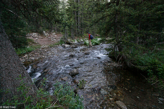
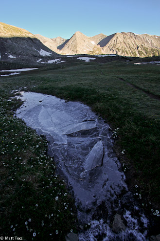
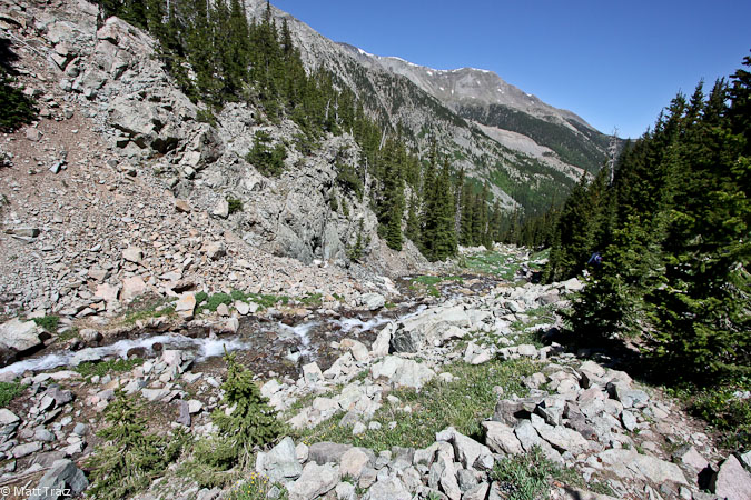
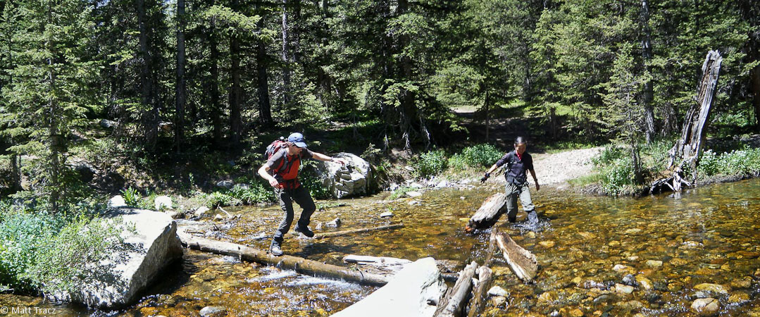
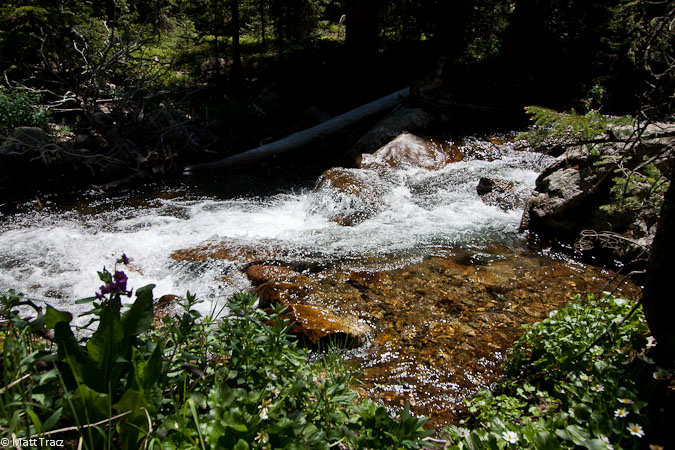
We quickly reached the meadow, avoided the right turn at the Lily Lake junction ~20 minutes later, and reached the stream crossing shortly after. The stream was just over ankle deep at the worst, but easy to cross with just boots (gaiters helped too).
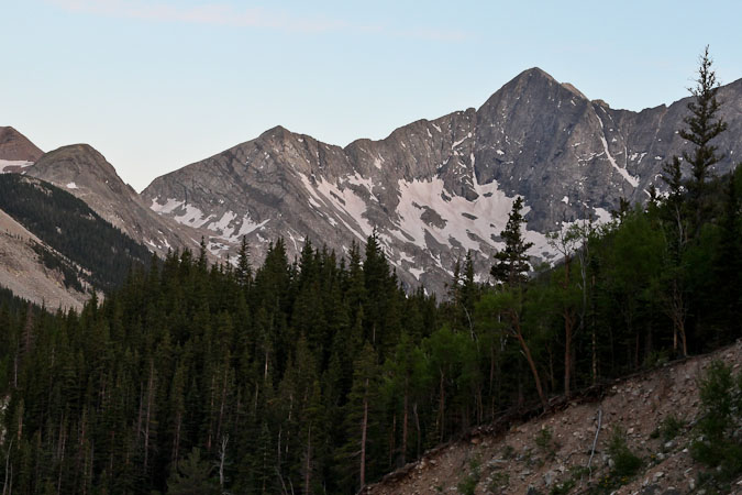
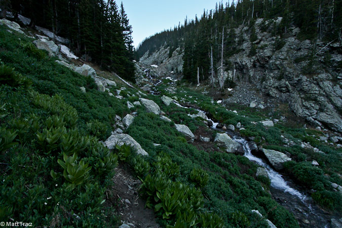
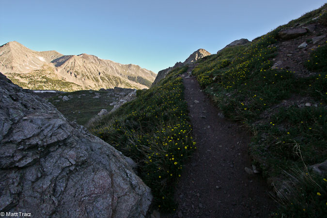
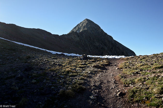
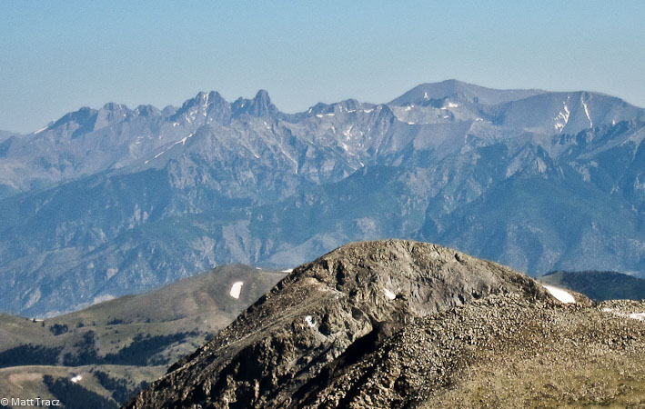
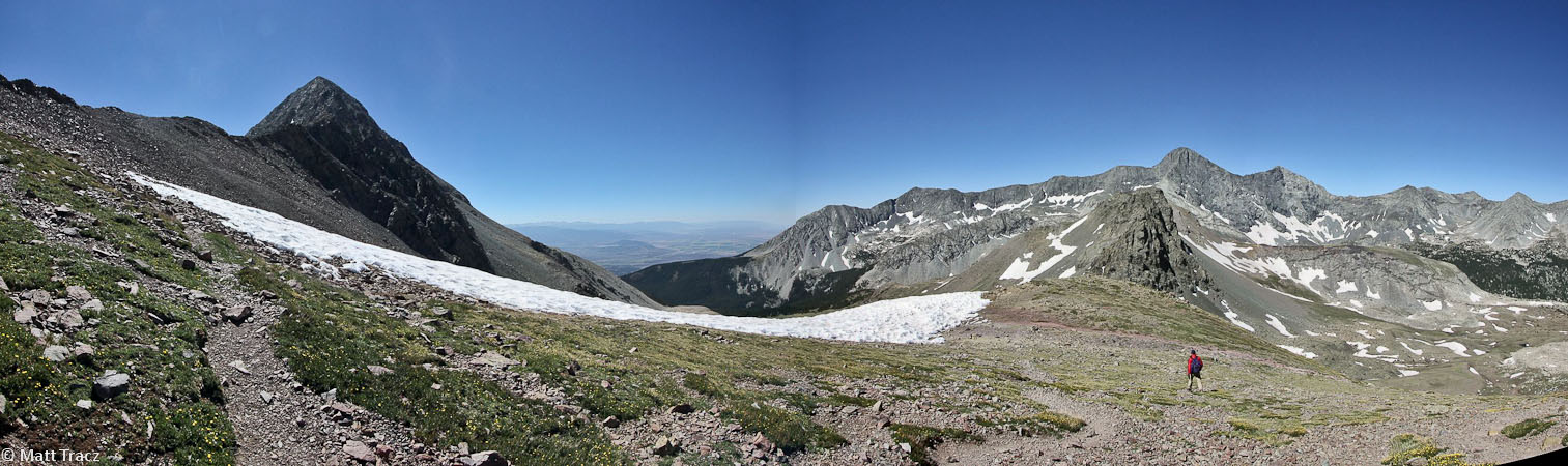
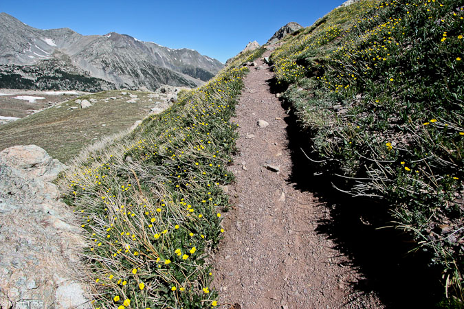
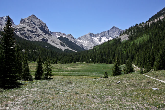
The trail stayed flat along the stream for awhile, before cutting sharply uphill to the left, following a cascading stream. The trail was steep, without switchbacks, on a slick dirt trail at times. The stream was quite scenic in the morning shade. Eventually we reached a wide basin, where Blanca and Ellingwood were lit up by the sun, to the west.
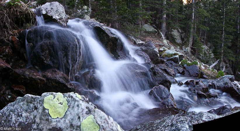
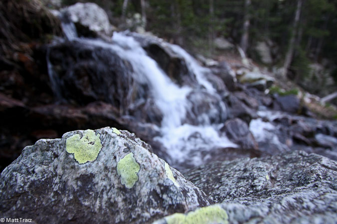
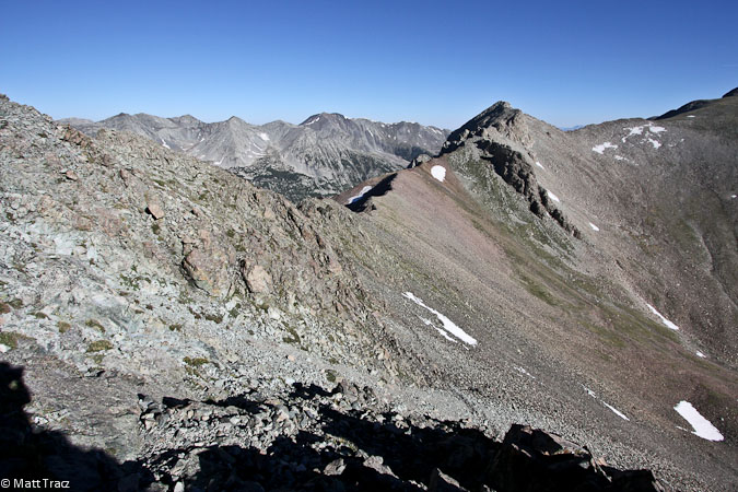
We followed the cascade up into a basin...
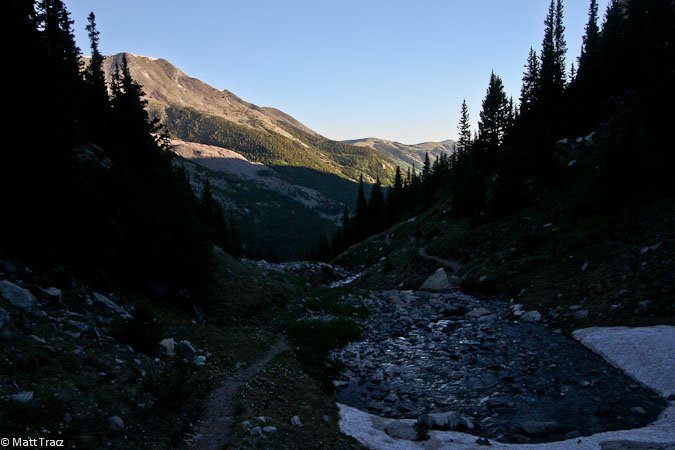
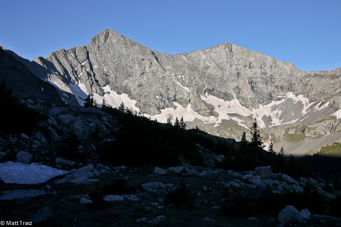
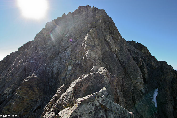
Eventually, we were greeted by well lit Blanca and Ellingwood...
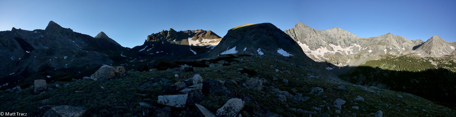
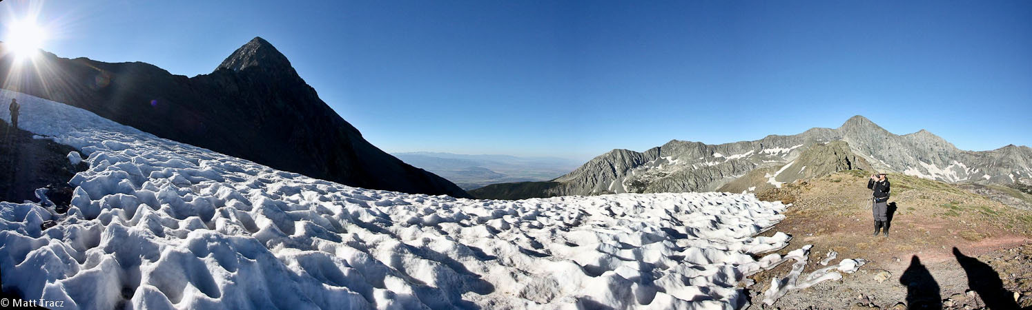
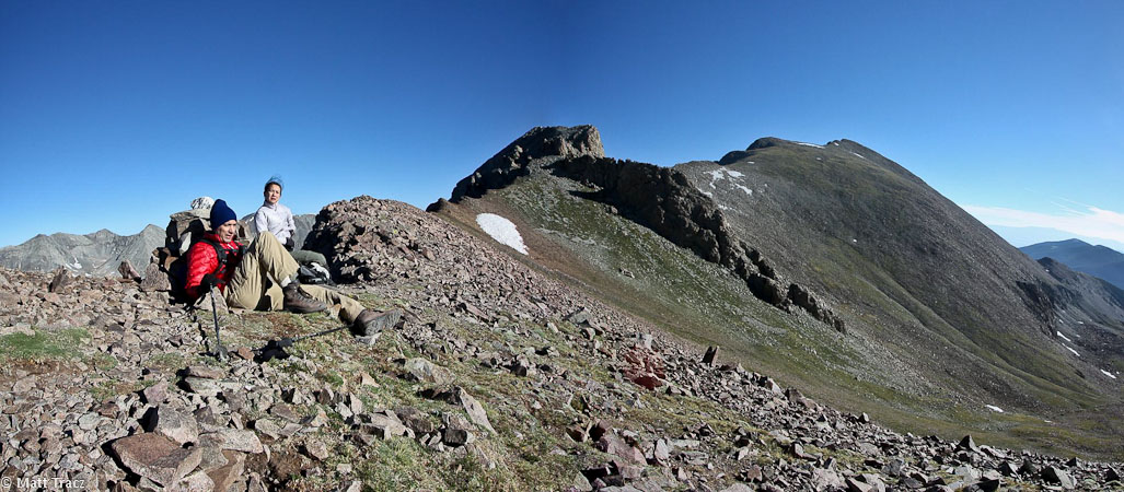
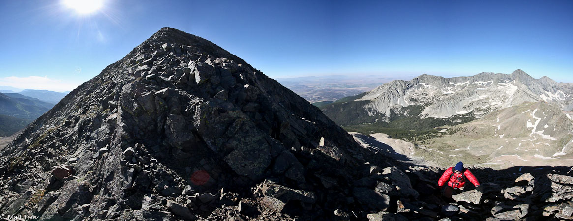
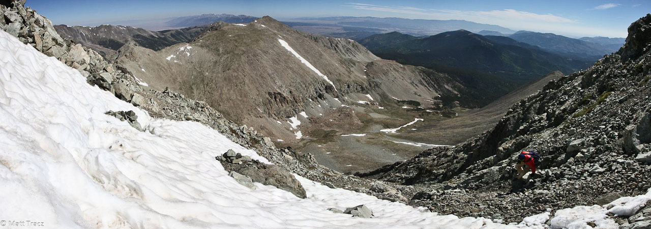
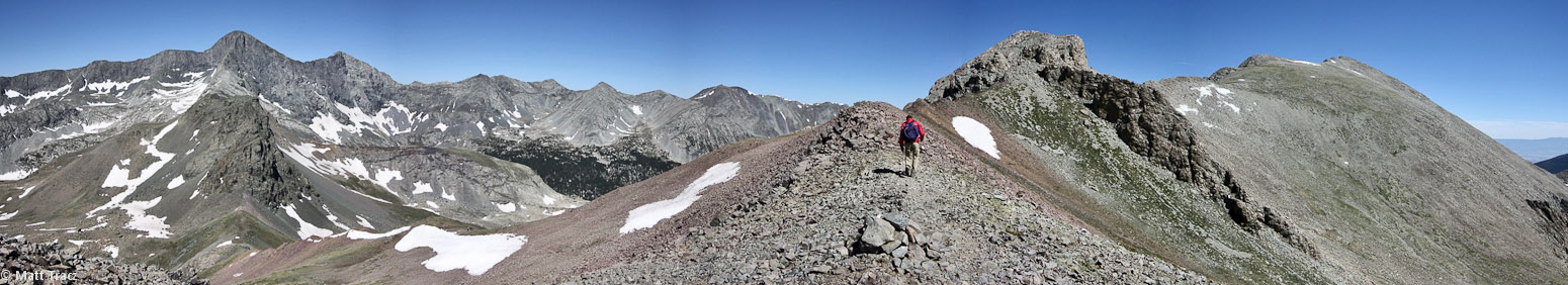
Lindsey is on the left in this pano, Blanca/Ellingwood are on the right...
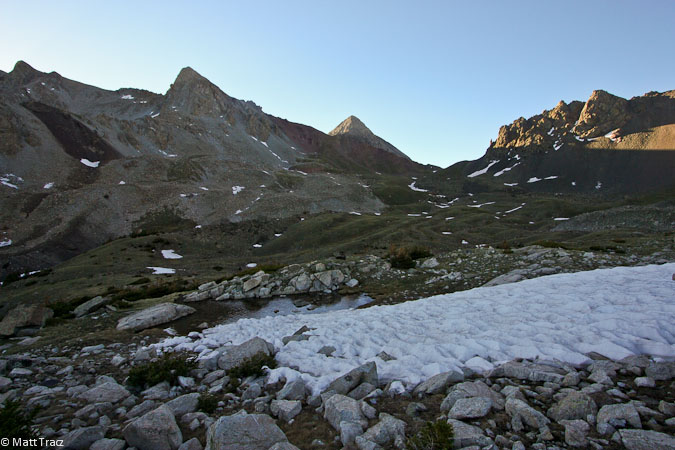
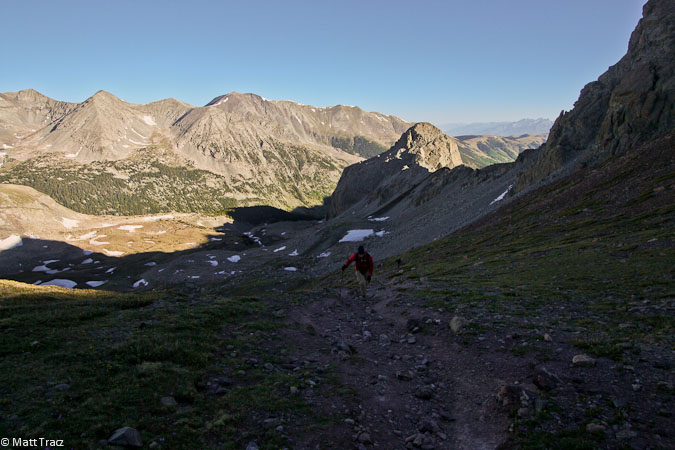
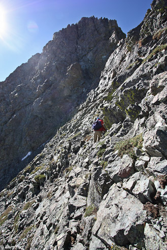
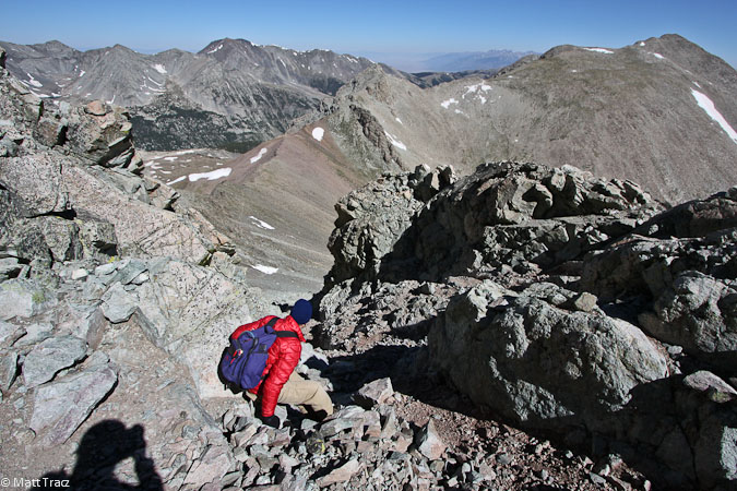
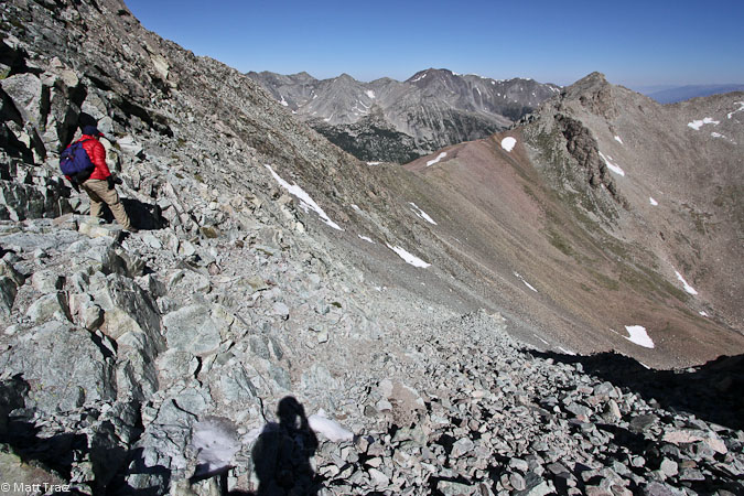
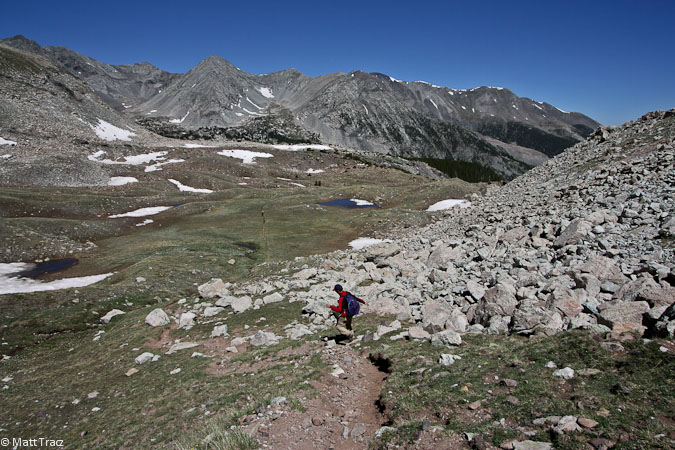
The trail leveled off a bit, as we hiked across the basin, towards Lindsey to the south.
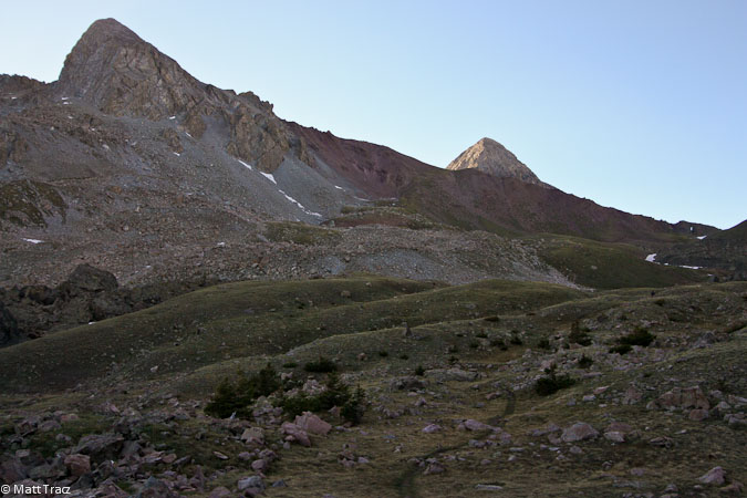
As we started the climb up to the saddle, the wind kicked in, increases with strength at each gain in elevation. It was cold, and time to bring out the gloves and winter hat. At least the wind was at our back.
I reached the pass below the saddle, just as the sun emerged...
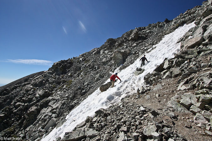
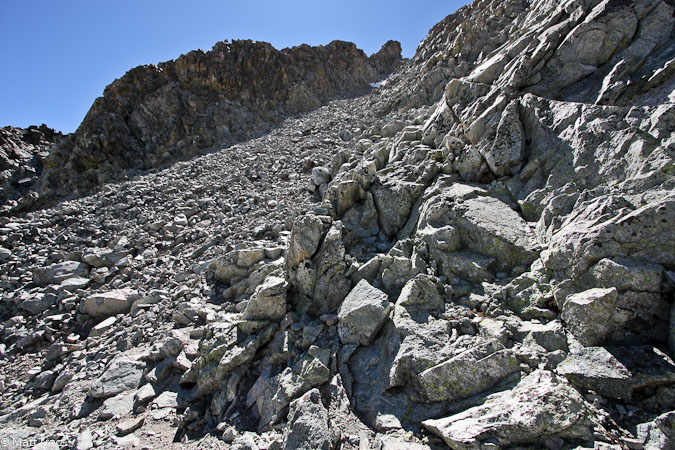
This was certainly the biggest snow field of the day, though the trail stayed off of it, and we turned to hike towards the sun...
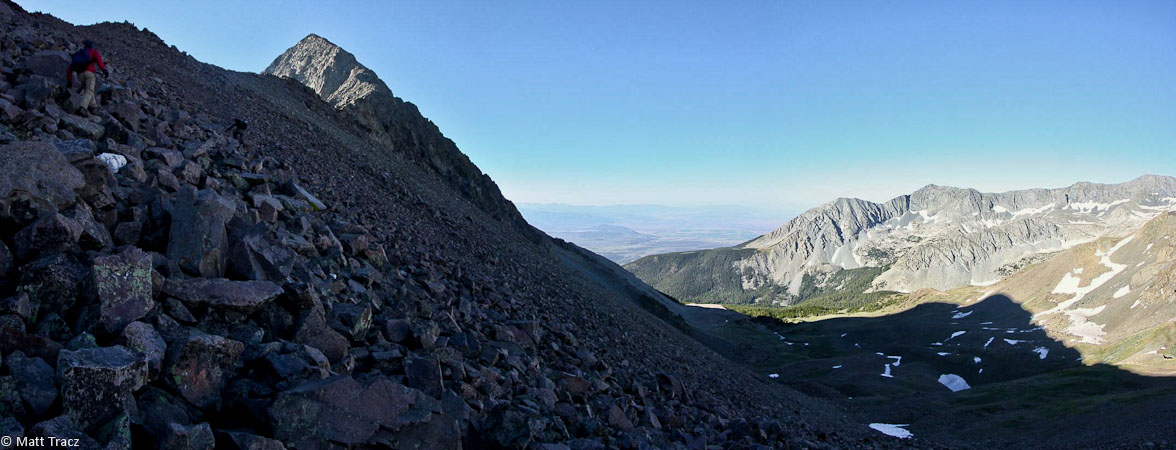
The views were impressive, during this stage of the climb to the saddle...
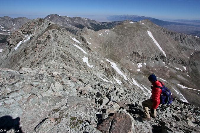
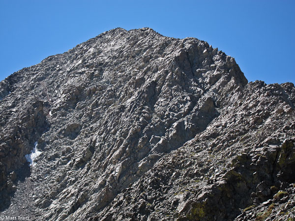
We reached the wind torn 13,100' saddle at 7:45am, needing to stay low to keep balance. The wind died immediate, once beyond the sadde, so we rested here a bit to take inventory of the remaining 1000' to Lindsay ahead. Our plan was to take the NW ridge, which had a class 4 crux wall. Not only did it sound fun, but it avoided the class 2+ scree gully that is infamous for loose rock and suffering. We just hoped the wind wouldn't be a problem on the ridge.
Looking back at Tom taking shelter from the wind, behind a rock. The Iron Nipple and Huerfano Peak are in the background...
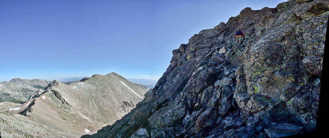
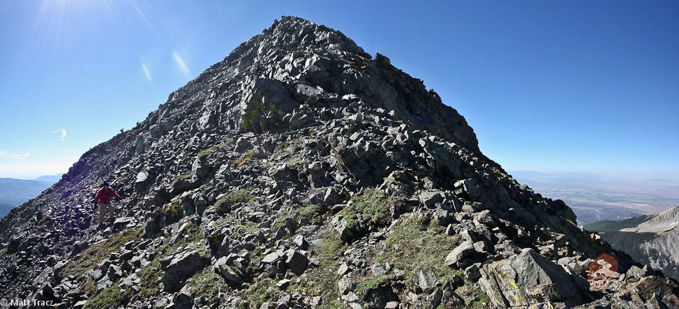
We followed the main trail a short ways under the ridge, before finding some solid rock to scramble up. We had read that it's better to cut up sooner than later, as the rock gets loose the further you go. We reached the windy ridge top, and stayed on top until we reached a sharp knife edge, right before the crux wall. Dealing with the knife edge was not a good option, so we dropped down ~50', and found an easy traverse leading to the base of the crux wall.
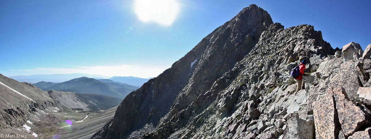
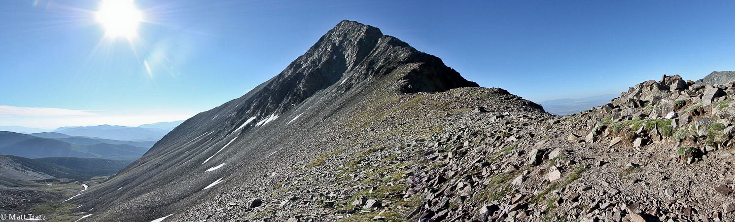
We headed for the top of the ridge...
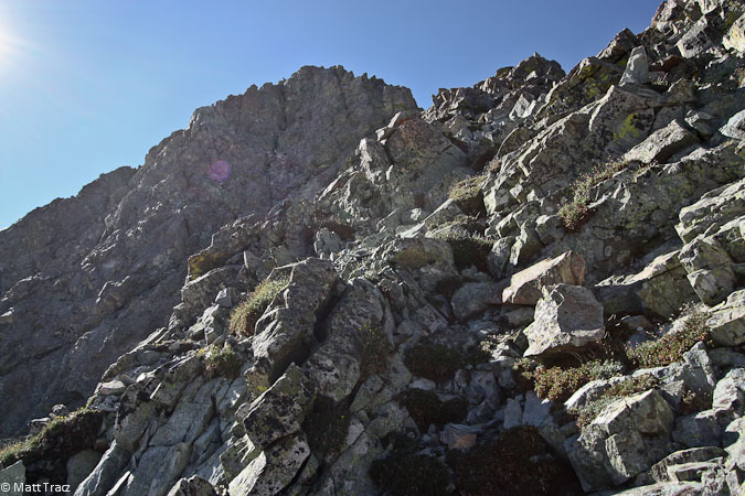
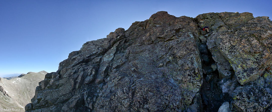
Rock was solid here. We followed the ridge until we reached this knife edge, then dropped down 50' to avoid it...
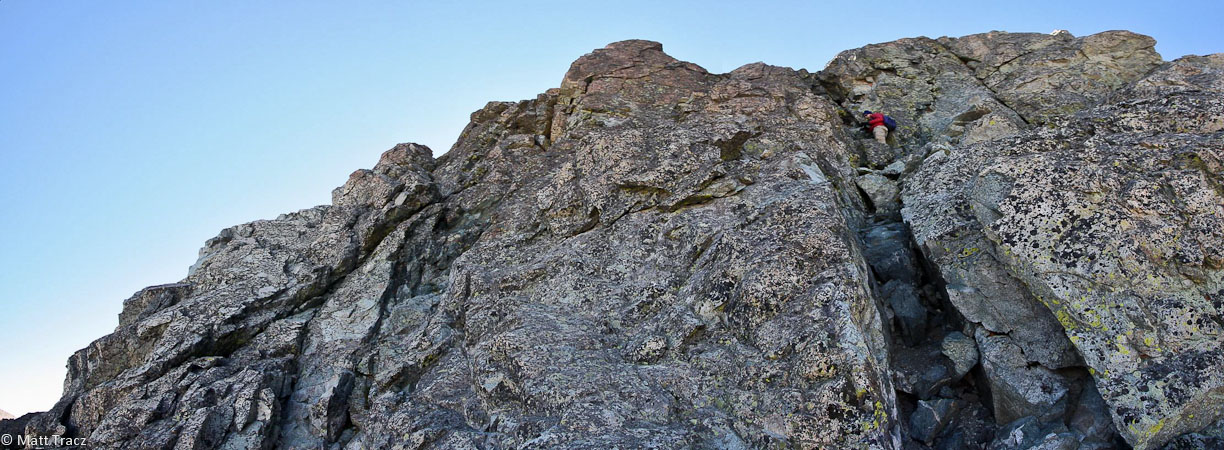
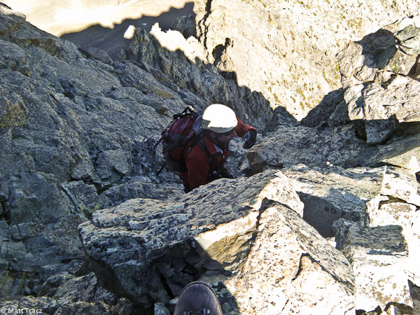
From the base of the crux wall, the route was obvious and clear. The wall didn't look nearly as intimidating as it did from further away. I half wondered if we had reached it before realizing we were already climbing the chimney. We found that the route was easily readable, the rock was solid, and it felt more class 3(+) than 4.
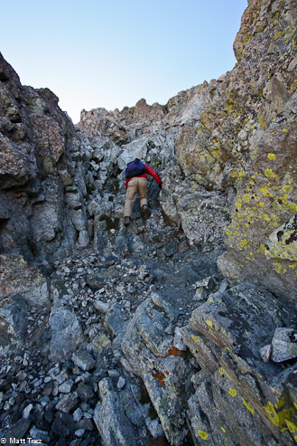
Some class 3 scrambling...
This chimney was a bit like a staircase, with bomber holds...
Another pic of Tom standing above the chimney...
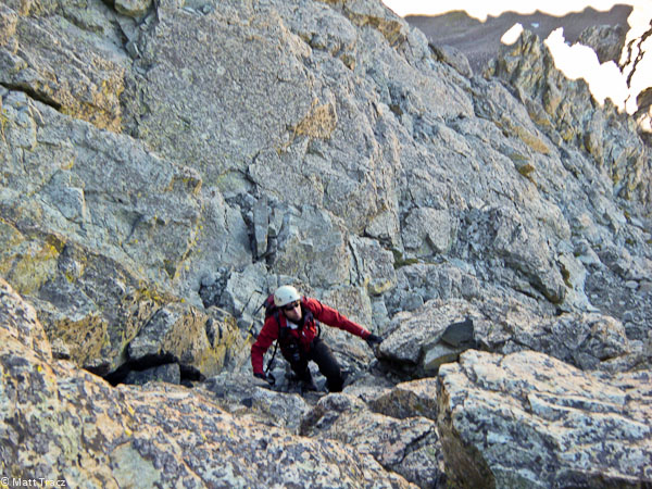
Me climbing some class 3+...
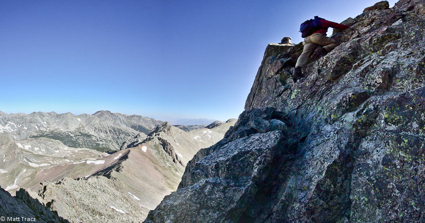
This pic looks more exposed than I remember in person...
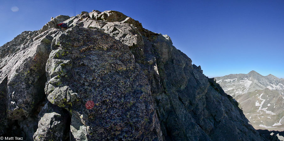
Looking up, past the end of the crux wall...
More ridge ahead...
The wind was blowing, but it wasn't as bad as near the saddle, and we managed to stay just to the left of the ridge, for wind shielding...
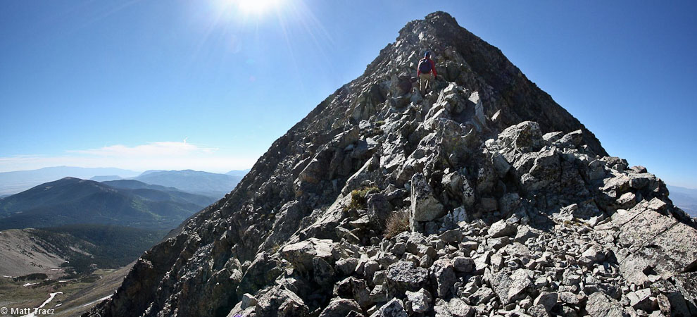
Looks like the summit is right ahead...
Looking down at Tom, taking a breather, and the saddle...

When we reached the "top", we saw the true peak ahead...
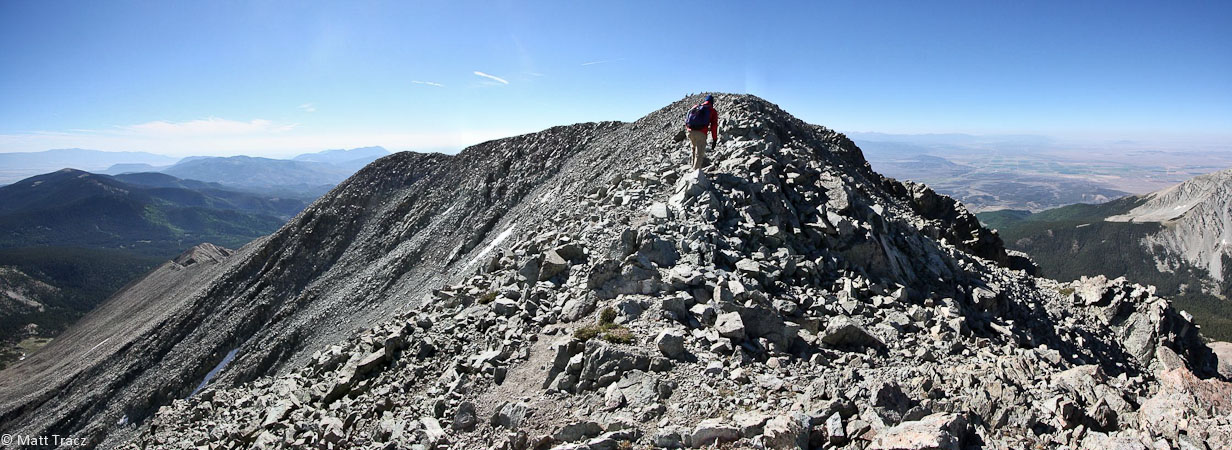
Moments from Mt Lindsey... We see others on the summit already...
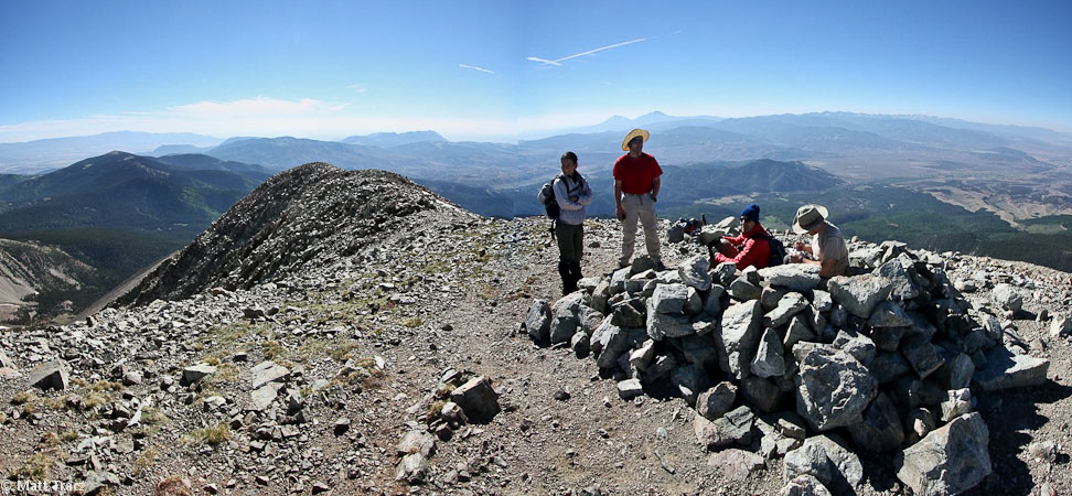
We reach the summit at 9:10am, 3hrs 50min from the trailhead (3,500' gain, 4.2 miles)...
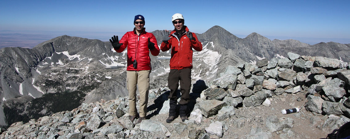
Tom shows "51", I show "50". Single digits left to bag 'em all...
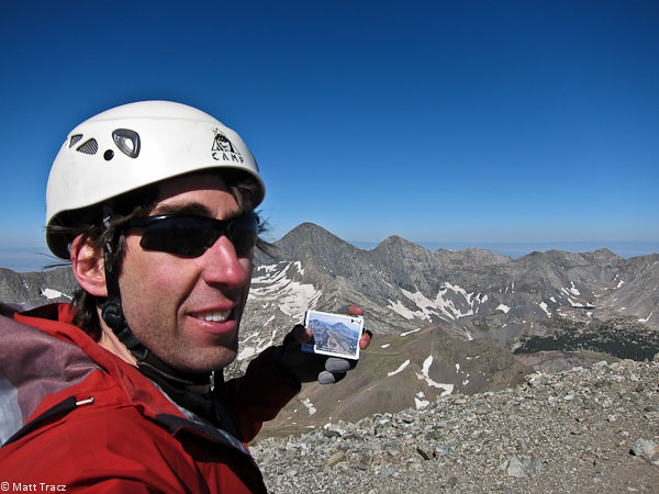
Me with the Lindsey 14er card ($6.95).
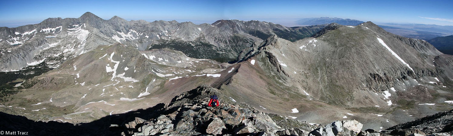
The wind wasn't too bad at the top, and we visited with the other 4 people on the peak. We debated taking the ridge back on the descent, which would be solid and enjoyable, but decided to return via the "nasty" gulley, to more fully experience what Lindsey has to offer.
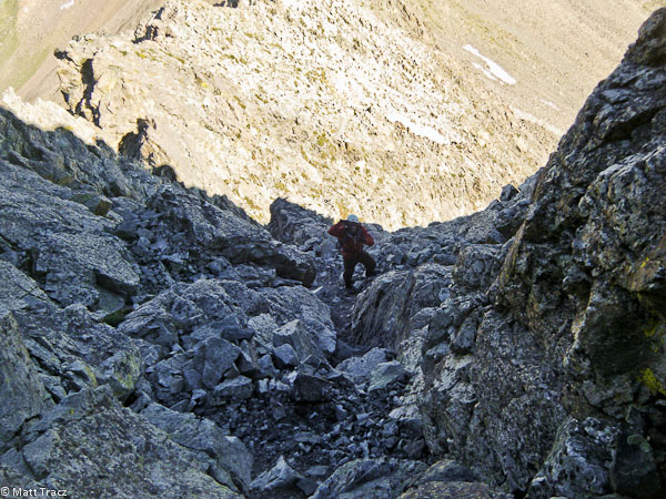
The path crosses a snow field (on the left). Tom went down too far in this pic...
Looking back at the lone snow field crossing, which had nice steps. Then it's time to be careful descending down the loose gully, trying not to kick any rocks...
Here we are exiting the gully, with the saddle ahead. A look back up at the gulley...
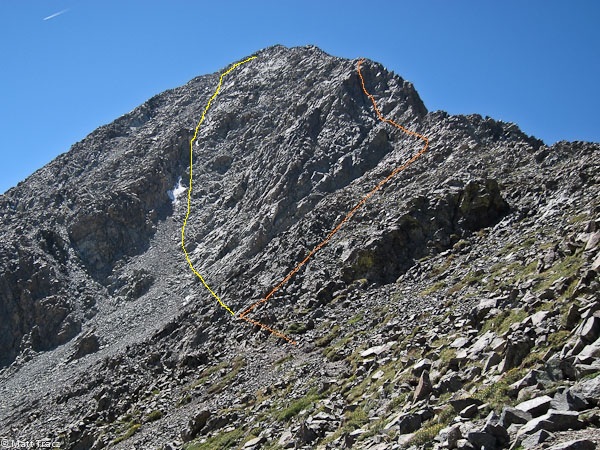
A couple of shots that show the gulley (in yellow), and the NW ridge wall (in orange). The ridge was certainly more pleasant, though the gulley wasn't too bad. Felt good to have a helmet though...
Returning to the saddle, with Blanca/Ellingwood on the left, and Iron Nipple/Huerfano on the right....
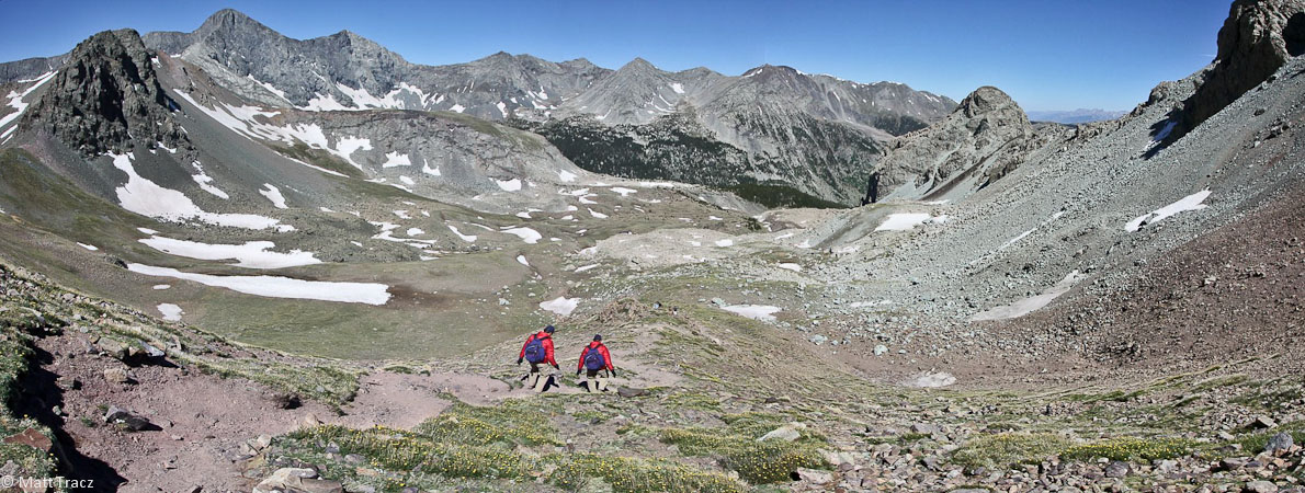
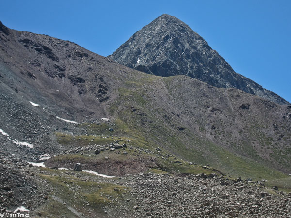
The Iron Nipple is just 0.2 miles and 400' from the saddle, and Huerfano is a top 100 peak in the state, but we opted to leave these mountains here for another opportunity to visit, should we start tackling 13ers in the future. We turned into the strong wind, and descended back into the basin.
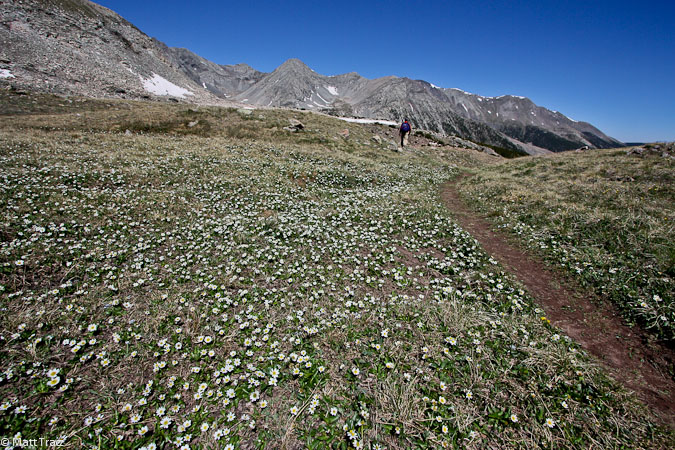
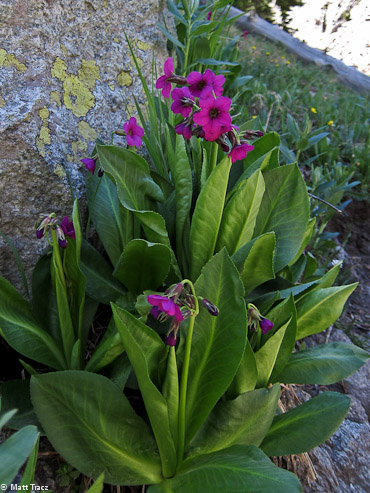
White flowers in the basin. A last look at Lindsey before heading down to the valley...
Following the stream down into the forest...
I managed to stitch a couple of Tom's pics, even though they were taken minutes apart...
A last look at the serene meadow before returning to the trailhead...
We were back at the trailhead at 12:05pm, for a 6hr 45min RT hike. We stopped in Pueblo for lunch at the Shamrock Pub. They had a $2 pint special on a black IPA, which I had to try, along with corned beef and cabbage. Highly recommended.
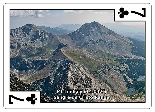
Mt Lindsey has a lot of character, with a stream crossing, pretty cascades, scenic basin, a ridge to scramble on, and a gully to slog. Certainly an enjoyable peak, and fairly short and sweet (8.25 miles, 3500'). If you're comfortable with class 3, I'd recommend the NW ridge as a great intro to class 3+/4.