

In 2009, I hiked Shavano via the "Angel Snow Route", which was a great climb, but the softening deep snow and dark growing clouds prevented me from attempting Tabeguache. At the time I didn't plan on revisiting Tabeguache, but now that the 58 14ers are within grasp, I returned with Tom to knock Tab off the list, this time hiking Shavano via the standard route.
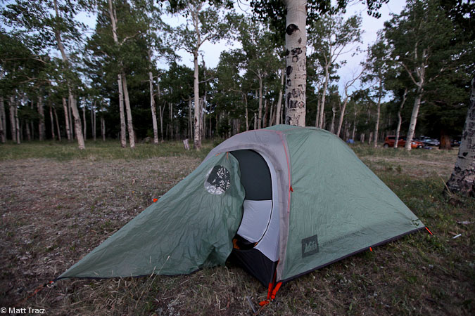
We drove down Saturday evening, and camped at the same gorgeous aspen lined field across from the Blank Gulch Trailhead, that we camped at 2 years ago. The field seemed a bit more sloped this time, as we searched quite awhile before settling on tent spots. There were many other campers along the edges of the vast field, including a small "party village", whose high quality night-time sing-along (with 2 guitar players) was quite enjoyable to hear in the distance.
We planned for an early start, to avoid thunderstorms on a big 5600' day, and set alarms for 3:15am. The air was still, and temps mild at 9700'. I picked up a good 3+ hours of sleep, which is darn good by my standards.
The sky was clear at 3:15am, as we prepped ourselves for the big day. Tom even cooked up some instant scrambled eggs to fuel his energy tank. I had an apple, and planned to eat on the trail.
After a visit to the restroom at the TH, we were on the trail at 4:08, and found ourselves to be the 3rd party signed into the register so far today. We hiked in headlamp up the dirt/rock trail, paying attention to elevation gain to mark our progress against the 14ers.com guide. ~5am we were able to turn off our headlamps, using the pre-dawn light.
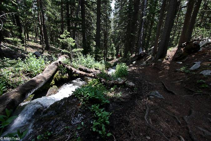
We remembered getting lost in the forest last time, and paid extra attention to stay on trail. There are a couple spots that can be confusing in the dark, but we stayed the course, and made the right turn at the 11,200' tallus field, to follow the standard trail instead of the Angel route.
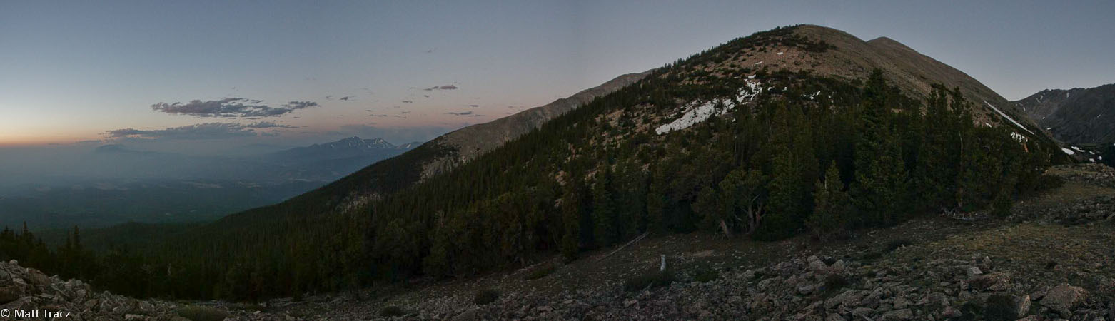
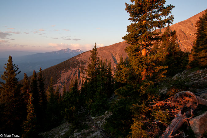
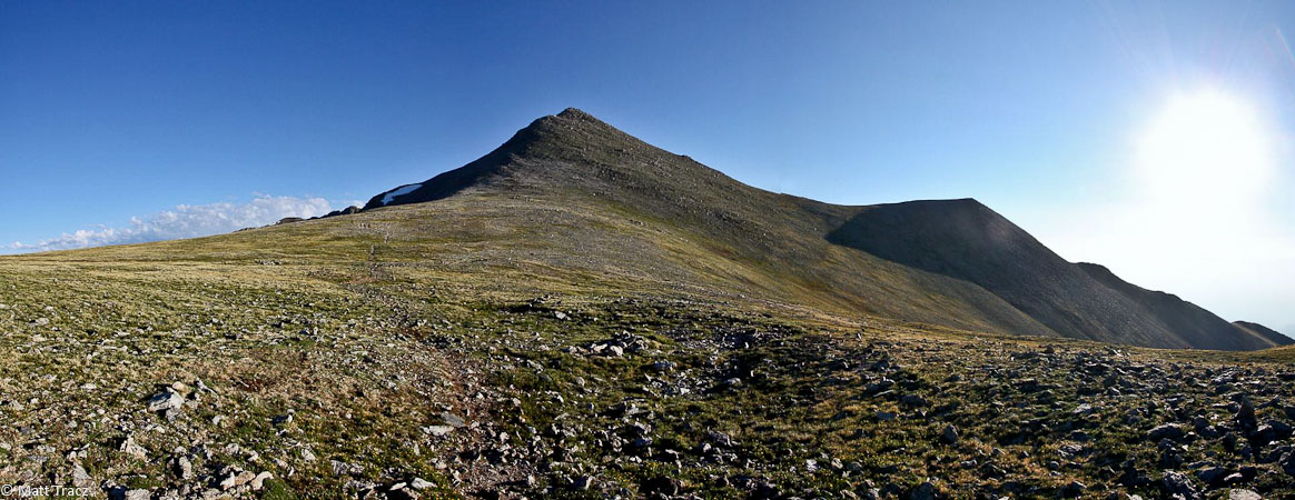
The trail climbed ever so gently, with just one large zig to the right, followed by a zag back towards the saddle under Shavano. We were greated by the rising sun, just as we started to clear treeline, which made me stop and take photos.
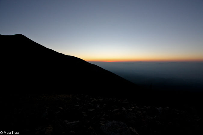
A pre-dawn view as we climbed up the forest...
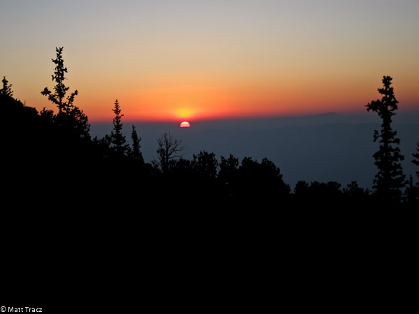
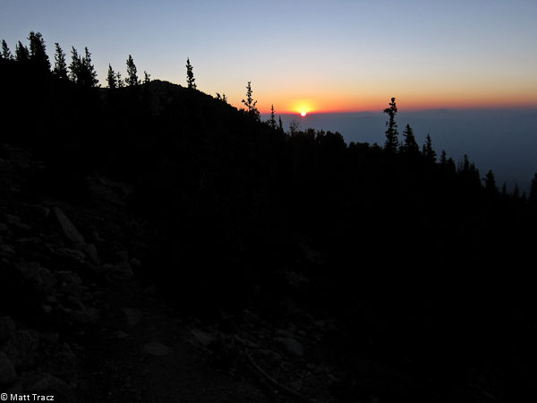
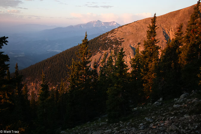
Sunrise!
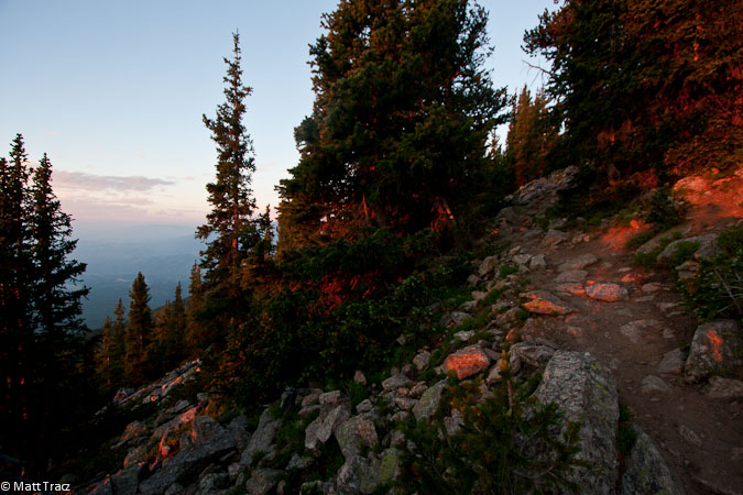
I totally loved the red glow on the trail this morning. Something to cherish in person. A reward for an early start...
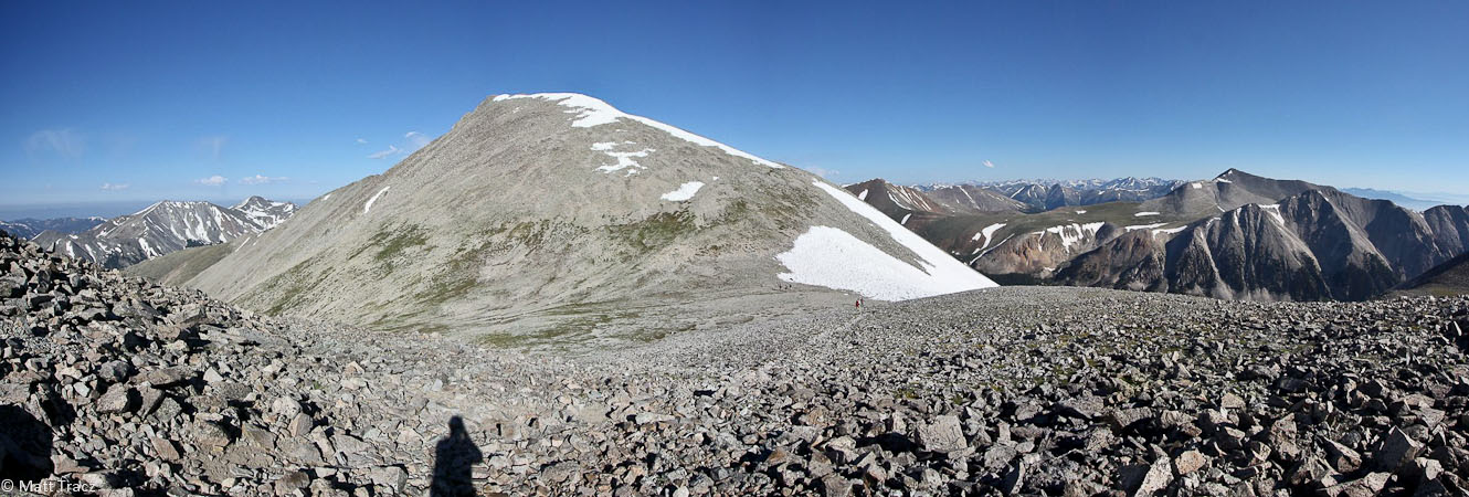
The trail maintained its easy grade, and traverse under the massive Mt Shavano, to a southern saddle. We were suprised to turn around and see an ocean of haze below.
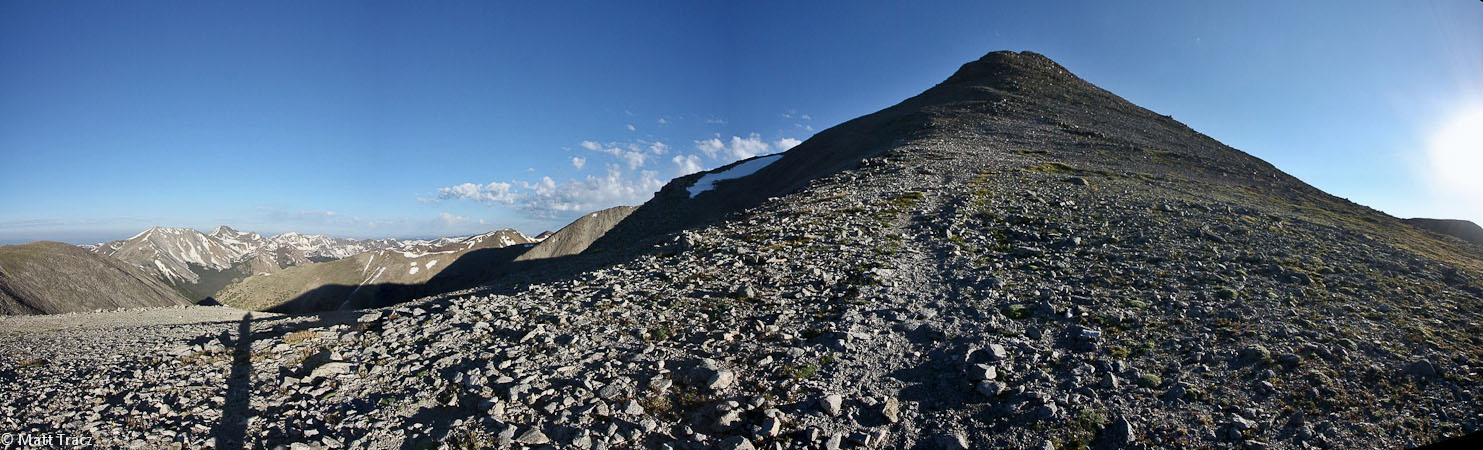
The Angel snow field is largely melted out, except for the body and left arm...
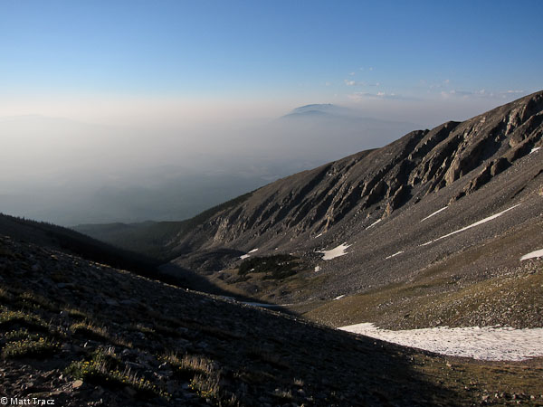
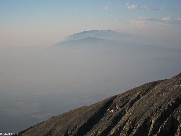
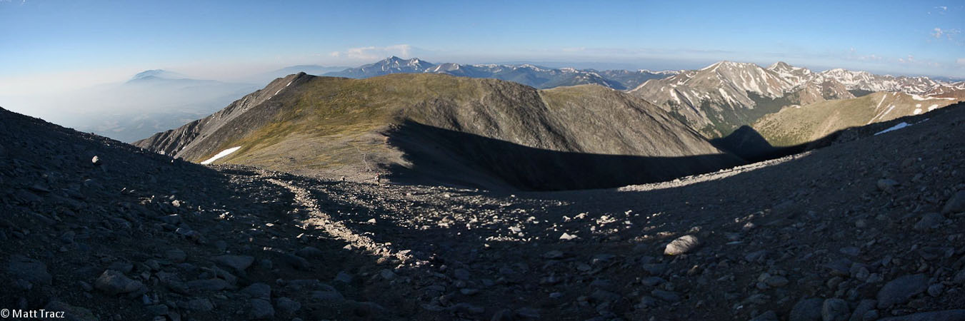
All of a sudden, the valley is filled with haze! Check a couple pics above, there is no haze at sunrise...
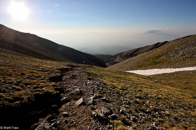
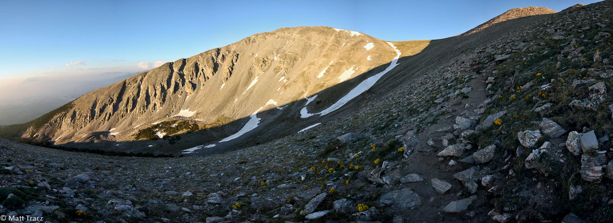
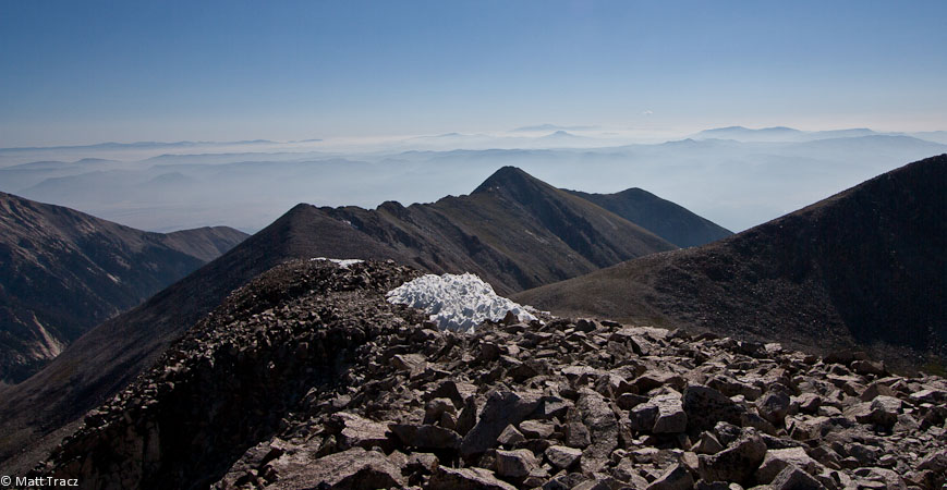
A look up at the saddle, and a look back from the saddle (and at the ocean of haze)...
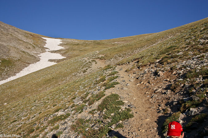
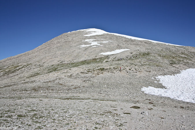
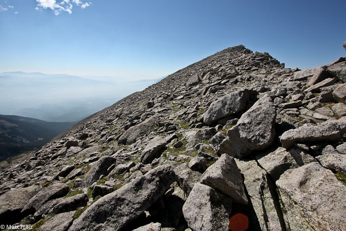
We slogged up to the 13,400' saddle, arriving at 6:45am under bright blue skies. Shavano lay to the north, another 800' remaining. The trail got a bit steeper as we pushed to the summit, though maintained an easy class 2 the entire way.
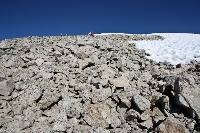
The trail was a bit faint, and forked into parallel trails eventually, but they all ended up in the same spot...
Looking back down towards the saddle...
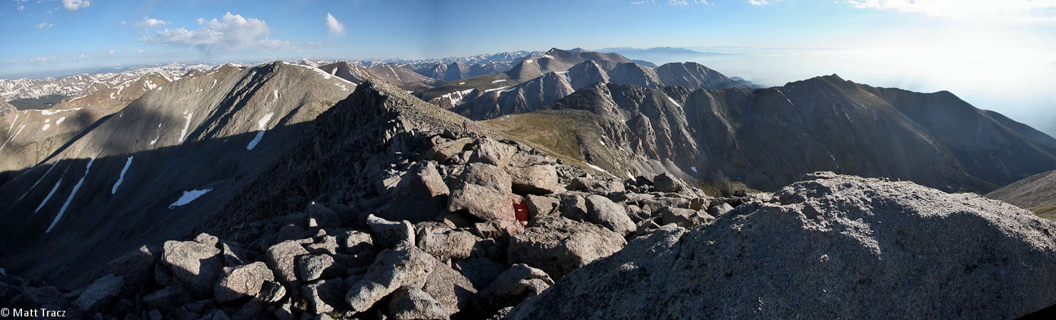
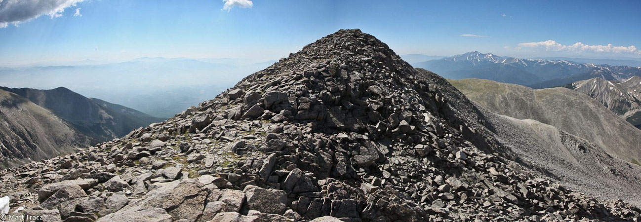
I pushed ahead and summitted Shavano at 7:25am, enjoying the familiar views. There was no doubt about getting Tabeguache today. It would be ~2 miles RT, with ~1100' gain, but there was plenty of time and energy. Several others were making their way to Tab as well.
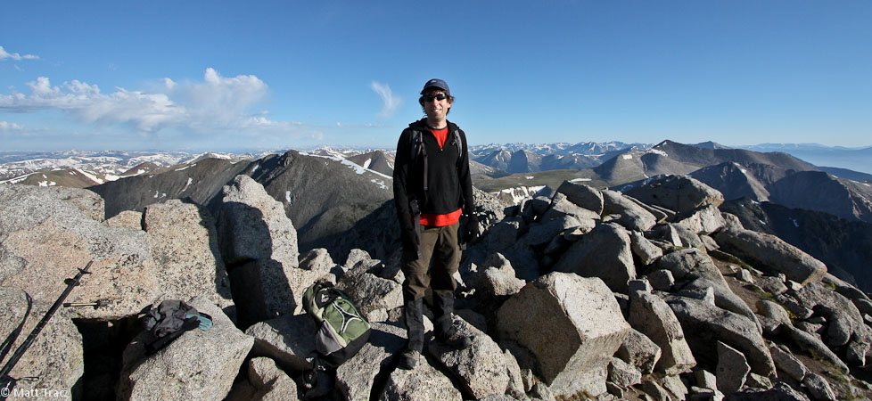
Shavano is my 2nd 14er duplicate (I've hiked Snowmass twice as well)...
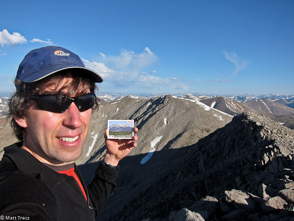
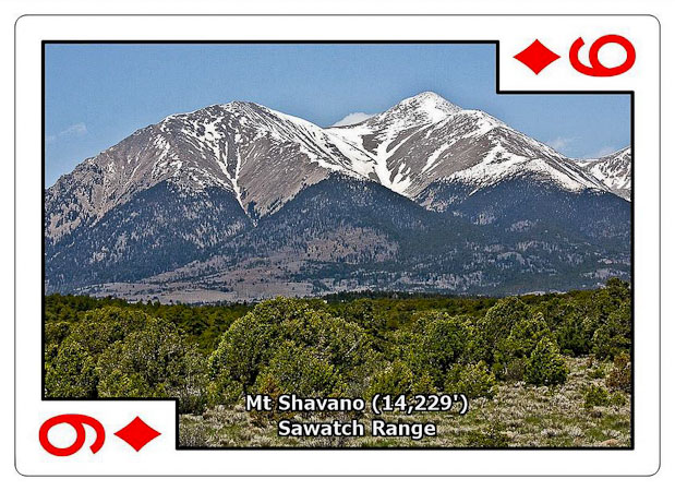
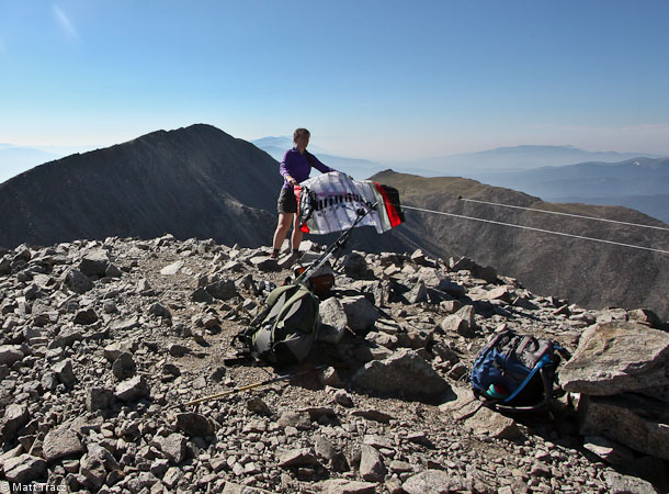
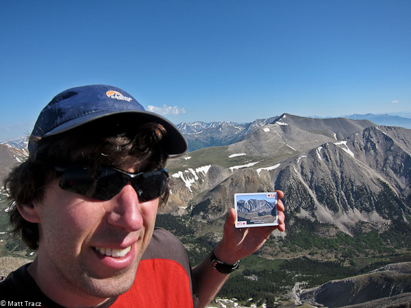
14er cards on the summit of Mt Shavano...
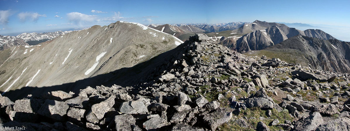
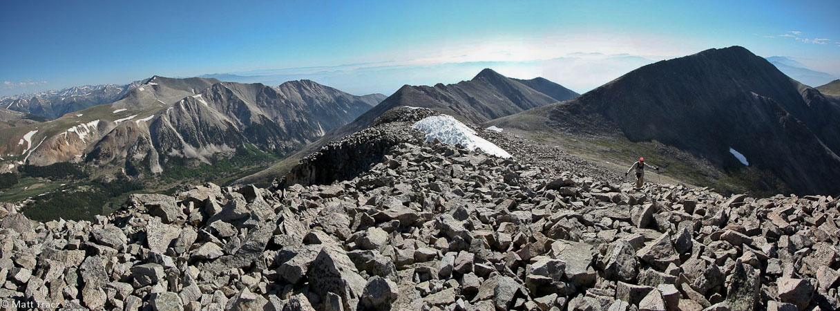
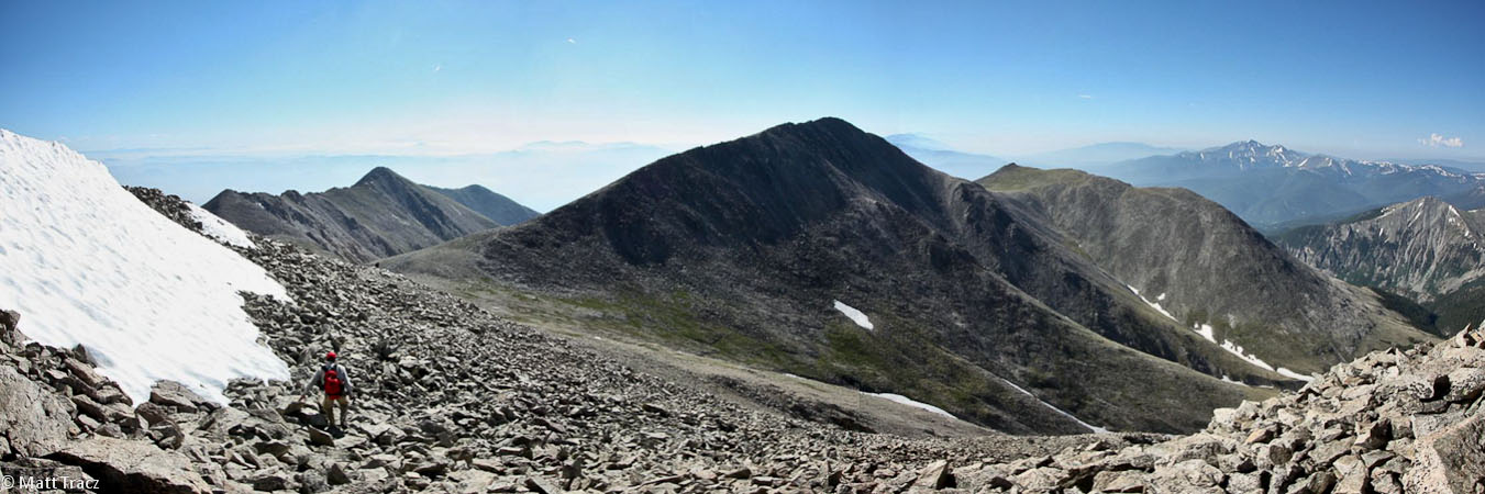
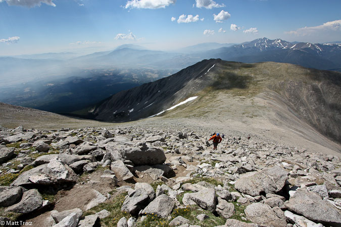
After a short rest and snack on Shavano, we made way across the bouldery summit and descended down the ridge towards Tabeguache. I was scrambling below the ridge to the right, but would later learn there is a better trail if you stay high. For some reason I was expecting more tundra fields on this section, so the rocky surface sapped a little more energy than I was expecting. Still easy class 2.
Nearing the saddle...
When I stopped to take photos at the bottom of the saddle, I was surprised how hard it was to restart and get some momentum for the final 500' to Tabeguache. I chewed some Twizzlers and hiked on. There were snow fields on the mountain, but it was easy to stay to the left the whole way. We summitted Tabeguache ~8:45am.
Tom is about to arrive at the summit, with Shavano behind him...
Several others were at the summit too. One group was trying to fly a large kite, but unfortunately, there wasn't enough wind to get it aloft. We all marveled at the sea of haze/smoke below, and tried naming all the 14ers in view.
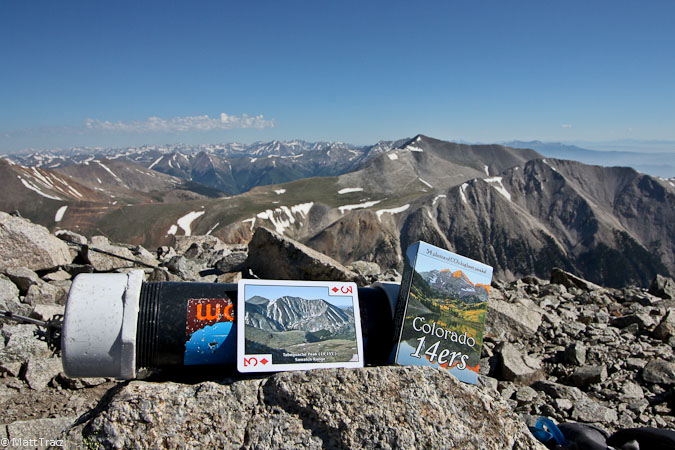
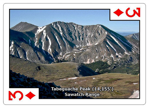
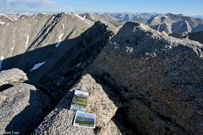
>14er cards on the summit of Tabeguache Peak...
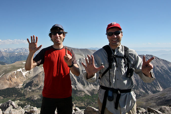
#51 for me, #52 for Tom...
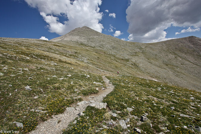
After ~30 minutes on the summit, we started the descent, knowing there was one more climb left today: ~600' back to Shavano.
A look back and forward while returning to Shavano...
Getting close to Shavano...
I took a good rest on Shavano, taking photos and chatting with some people. Clouds were starting to form now, including a small but dark one, which had some people considering whether to head to Tabeguache now, given it's a solid 2+hrs out-and-back, with lots of exposure to lightening.
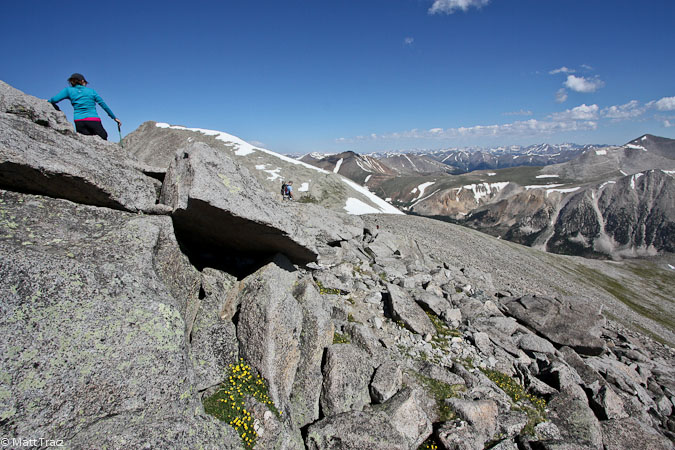
As we headed back down to the saddle, lots of hikers were making their way up. This is quite a popular trail!
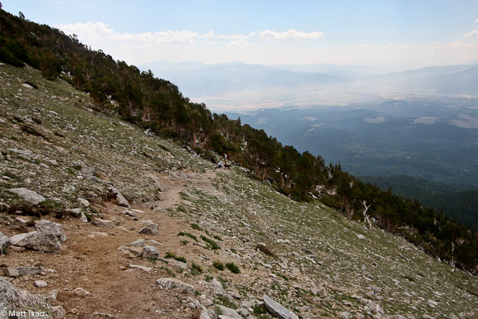
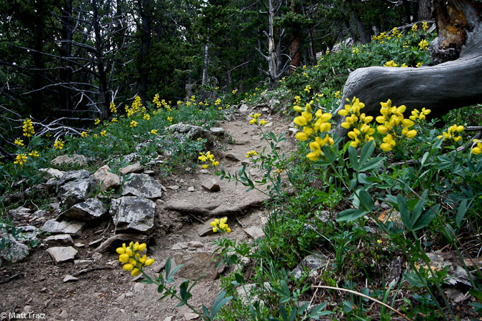
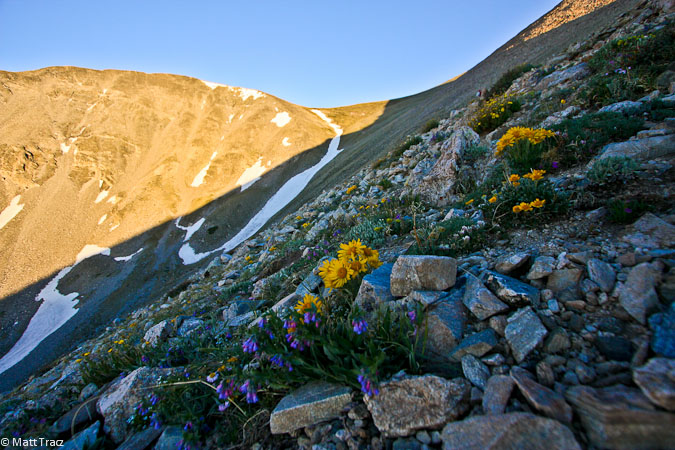
Returning to tree line. Some pretty flowers along the trail...
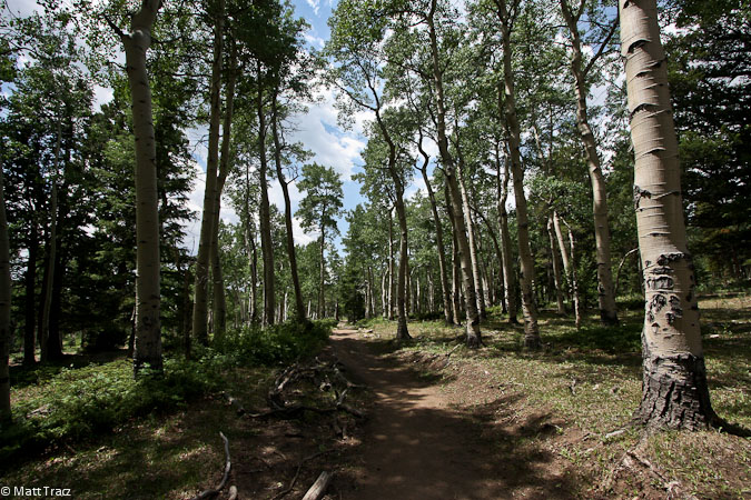
Near start/end of the trail is a scenic aspen forest...
We returned back to the car ~12:10pm, for a 11.9 mile, 5600' hike time of 8hrs. I heard a couple soft rumbles of thunder while Tom broke down his tent, before we drove back. No doubt some rain is in store. Certainly pays to start hiking early to be in the car before the storms hurt.
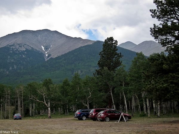 A look up at Shavano (2nd hump from the right), from where we camped. Doesn't look that big, but it's FAR away (~4500' higher than this spot too)...
Tabeguache makes #51. Fun to revisit Shavano, and see lots of people enjoying a day in the mountains. It's certainly a haul to nab Tab, but as a 14er peak bagger, it supplies the fix, even if it's an unglamourous peak. Great excuse for a good workout, and a fine day in the mountains.