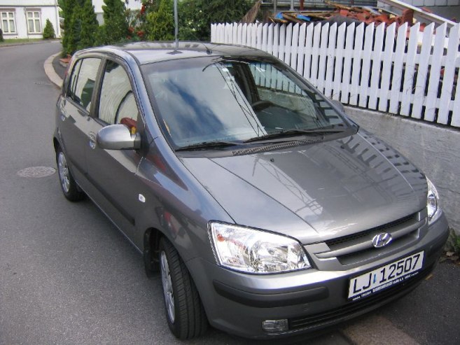
Got only 3 Į hours sleep last night. Haven't adjusted to the time zone yetģ Walked to the car rental place (a gas station in town) ~7:50am, and picked up a Hyundai hatchback. Weak engine, but drives well. Drove back to house, bought a map along the way, loaded the car, and hit the road at 9:15am.
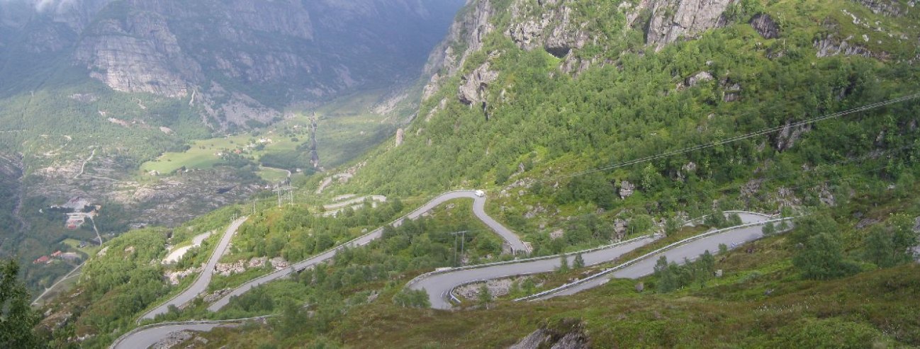
To Lysebotn for the rock! www.norguide.no said it was 4hr 30 min, 330km. Norway roads are REALLY slow, and it took a little while to get used to driving on their roads, and in kilometers instead of miles. I got used to the lower gears on hills very quickly as I hit switchbacks on mountains on the way. I didn't get there til 4:15, but I also wasted about 45 minutes thinking I had made a wrong turn, backtracking, and then realizing I was right all along. 100 yards further I would have see a sign for Lysebotnģ
I had stopped at a store to look at the weather in a newspaper. Sun and showers the next 3 days everywhere in Norway, then showers on the 4th day. Bummer.
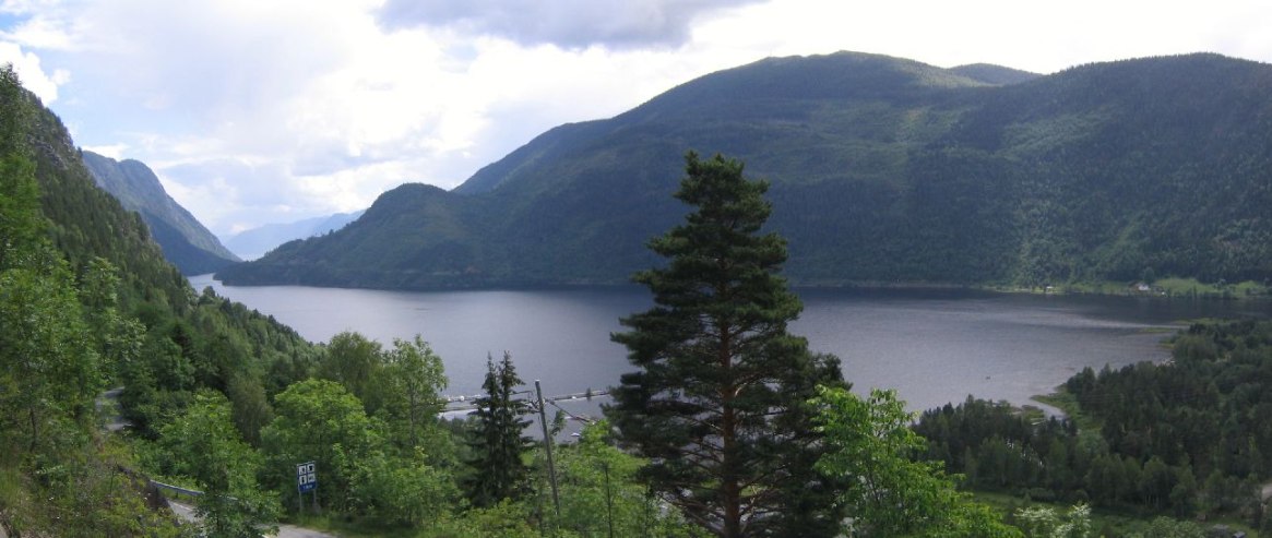
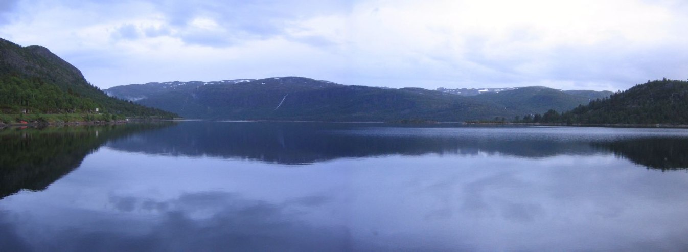
The drive to Lysebotn was gorgeous! It was indeed sunny, but with huge clouds and periods of 90 second showers off and on.
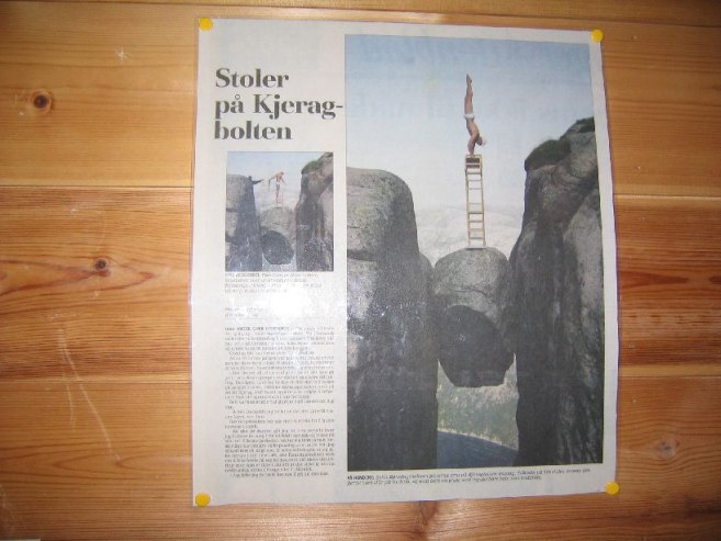
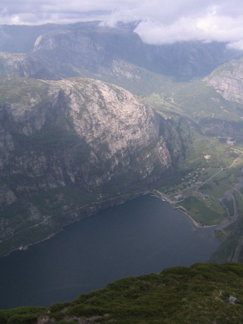
A big rain storm was passing near Lysebotn when I approached. After having backtracked, I wasn't sure if I should continue plans for the kerajbolten hike, as it is a tall cliff, with ominous clouds around, but perhaps the clouds would pass. Plus I was so close, I had to go and give it a shot. Got there and it was mostly clear, and started the 6 mile, 5hr, hike at 4:38pm (40 Nkr parking fee: ~$6).
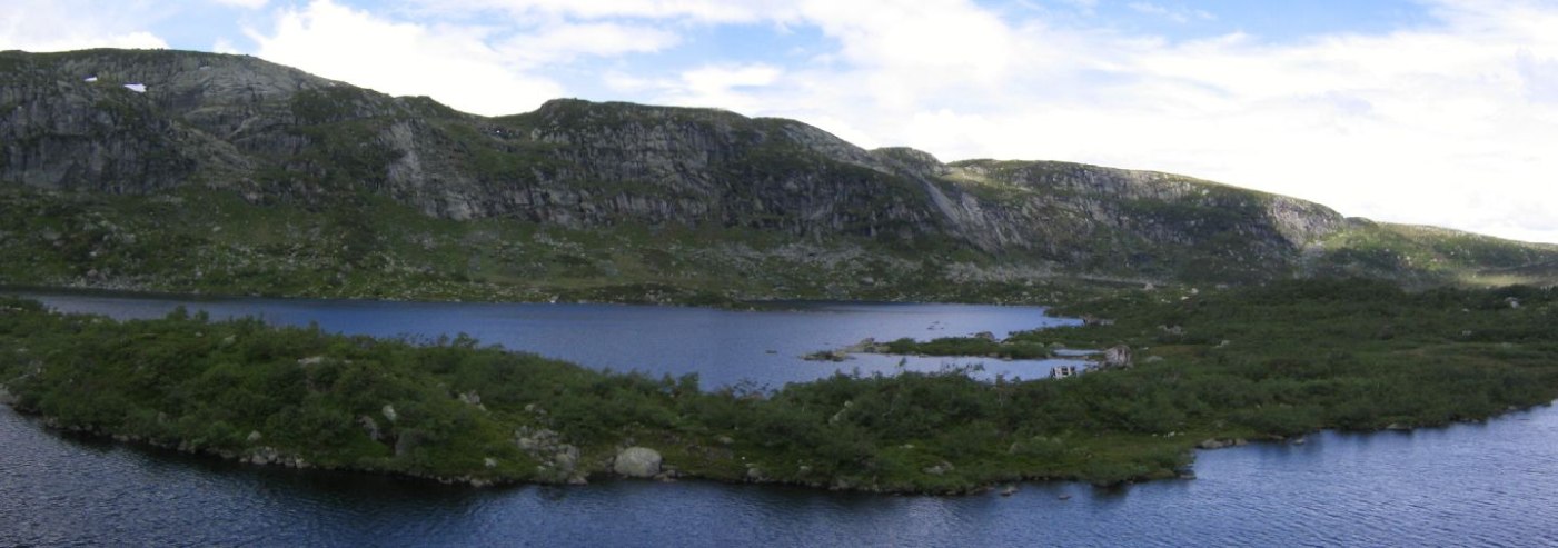
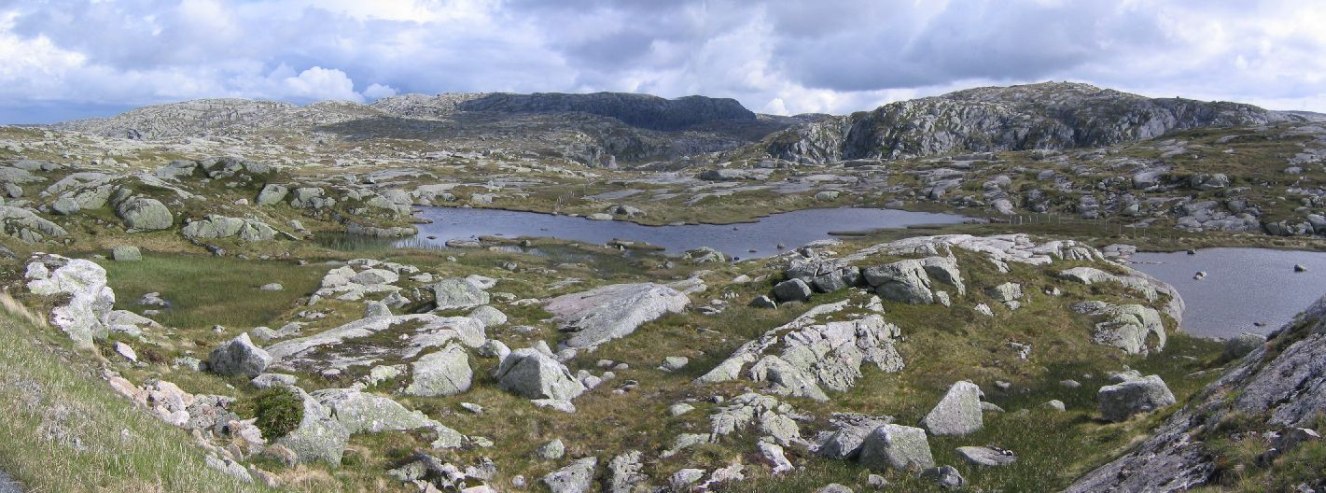
Very steep climb, but I made good time. I had some clear views of the water down the fjord, and the towering 3000 foot cliffs above the town, and the 27 hairpin road that leads down to town.
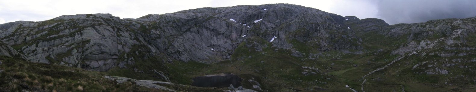

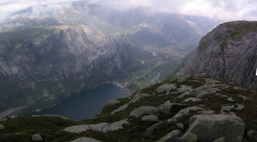
But soon after, the clouds came and fogged everything over. I continued most of the way, but reached a point where it was obvious the fog would not lift. I ate some peanuts and deliberated, but the fog just got thicker. I decided to turned back. I had trouble finding the red marked "T" trail on the rock surface during the densest fog, but at least it didn't rain more than a sprinkle.
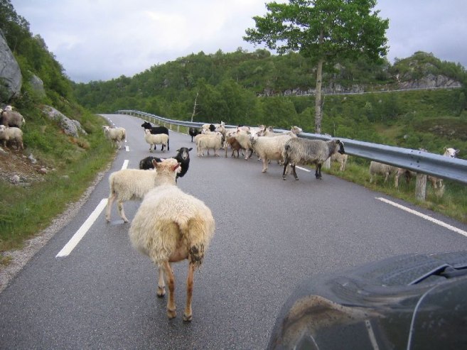
Got back to the car ~7:15pm, and the whole gorgeous rock LOTR land I had driven in on was fogged over on the way back. Got lots of practice on the skinny one-lane roads. But for the most part they can make due as 2 lanes. If you don't mind "brushing whiskers"ģ
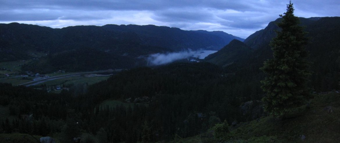
Drove on up north towards the next day's hikes. Distances are far in Norway. But even with heavy cloud cover, it didn't get that dim out until after 12:00. I got a lot of good pictures well after 11:00.
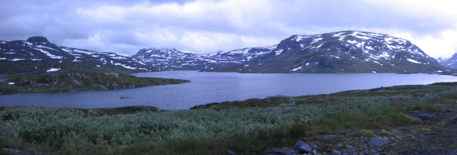
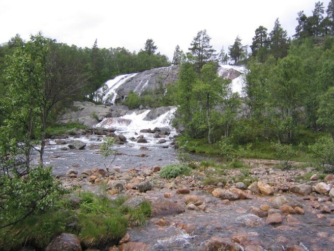
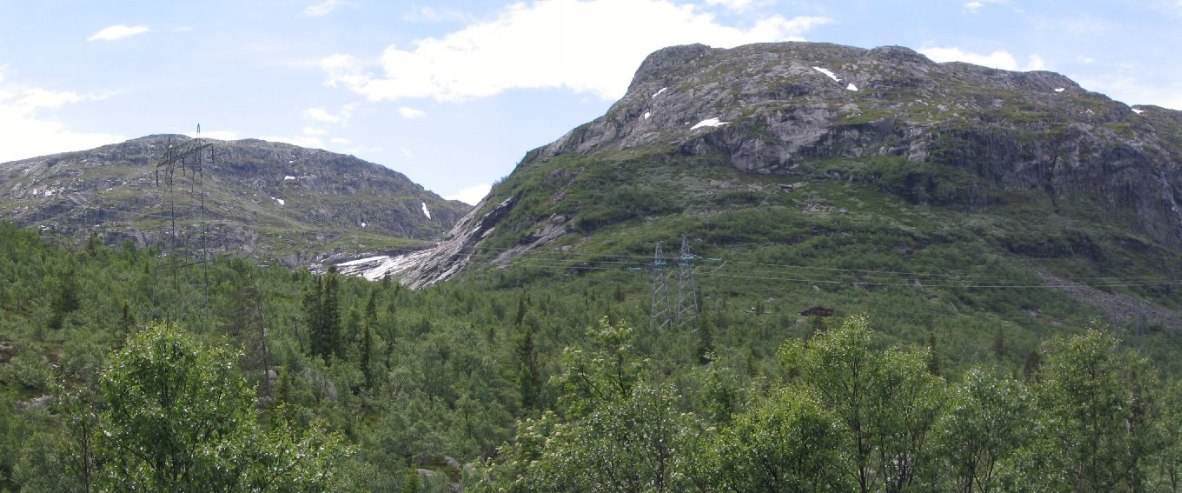
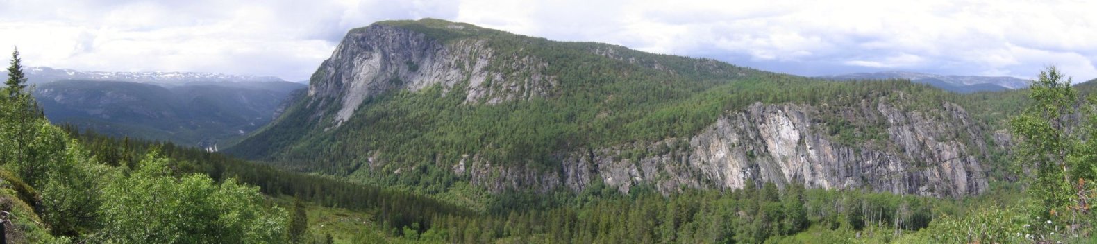
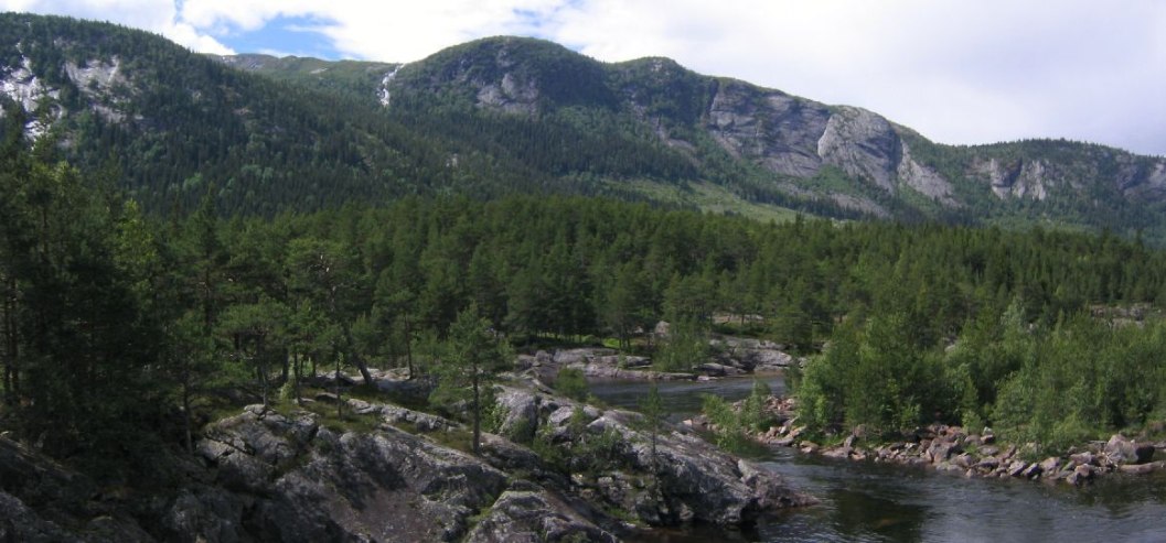
I drove a total of 605km (~380 miles) to get where I am today! This is the big driving day. Shouldn't be too bad the rest of the way. All sorts of beautiful mountains, rockey streams, and long waterfalls everywhere the last hour I drove (rain must help). Also 5+ tunnels in the last stretch.
For dinner I had my 1st can of tuna. Sleeping in the car tonight. It's wet out, and I'm tired enough to sleep well in the car hopefully. Plus the seat conveniently reclines back all the way. I parked off the highway in a parking zone, and there are a couple of RVs here too. There is a $3 donation box which I figured I should toss some coins into.
Hopefully some clear weather tomorrow.
Daily Totals:
Distance Driven: 606km (379 mi)
Elevation hiked: ~1800ft (estimated based on incomplete hike)