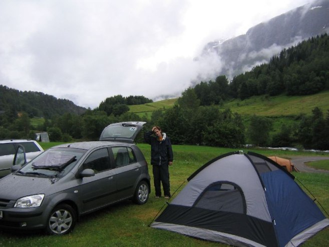
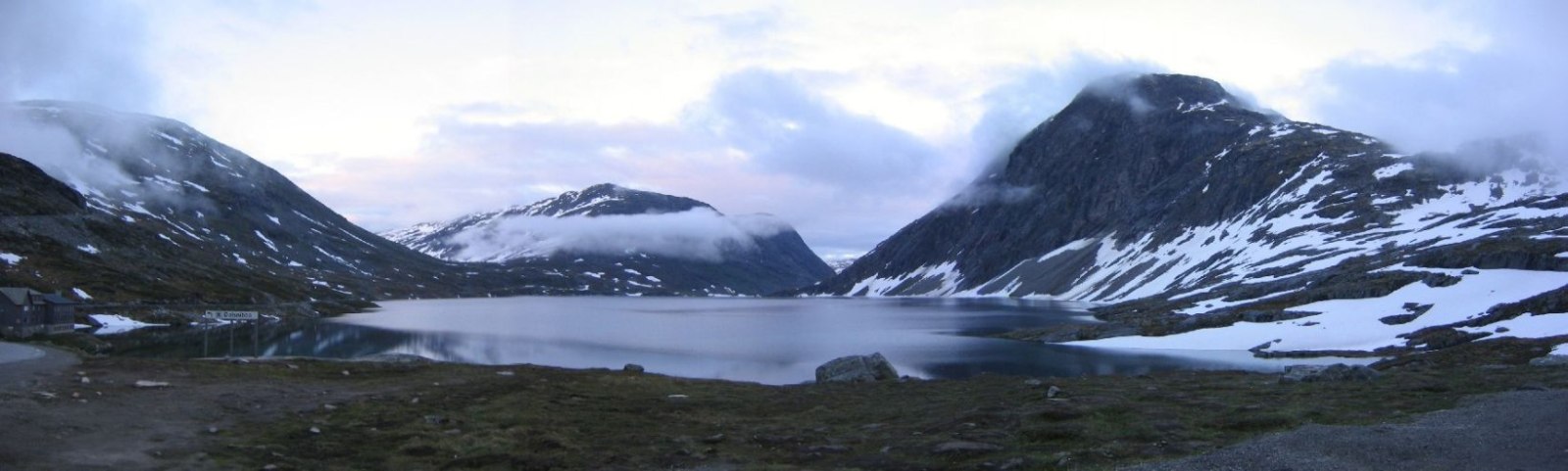
Rained hard from 2:00am -> 6:00am last night, but stayed dry enough in the tent. Got up at 7:40am, packed, and drove to the trailhead just down the road for Skala. It was foggy, but at least not raining anymore. I was feeling optimistic about the weather.
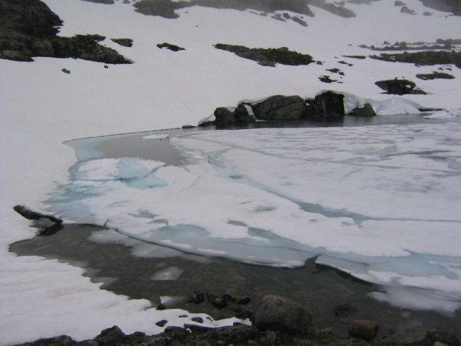
Skala is a 6000ft (1848m) mountain, and the trail starts less than 100 feet above sea level. Most mountains we've hiked start out at 1K-2K ft elevation, so a true 6000 ft view was something we were eager to see. From the top we should be able to see the Jostedalsbreen glacier too. If it's clear, that is. They say it takes 5-6 hours to climb up, and 3 hours to climb down, so maybe the weather will clear by the time we arrive at the top.
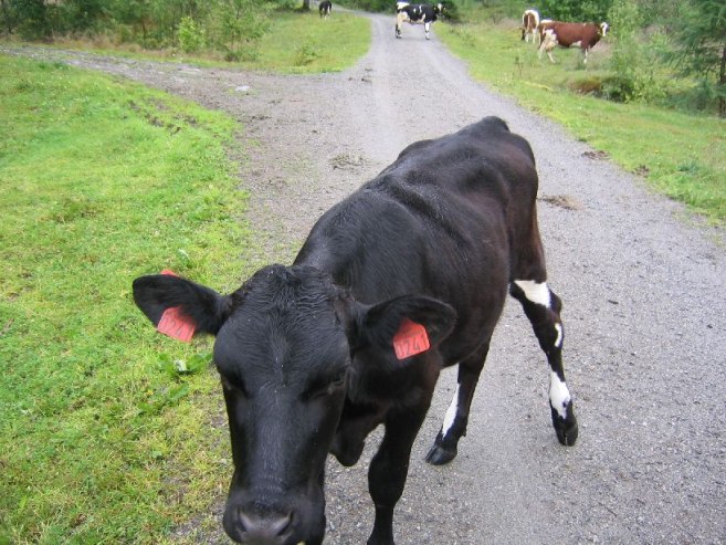
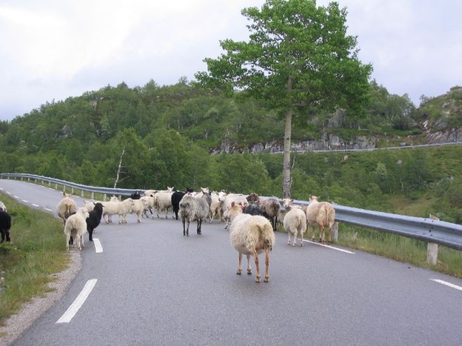
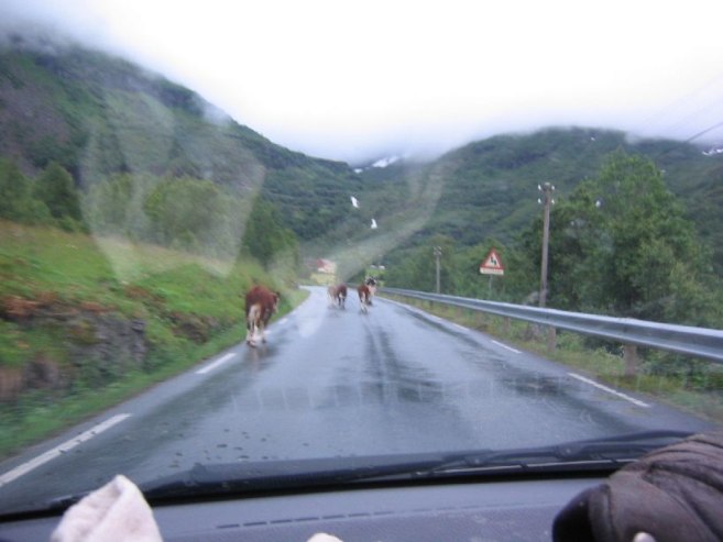
We ran into many cows on the trail at the beginning, as the trail started on someone's farm. The sun started to appear through the clouds early on, and it gave us hope.
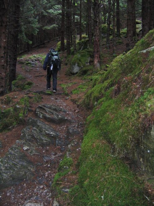
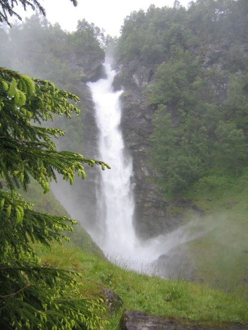
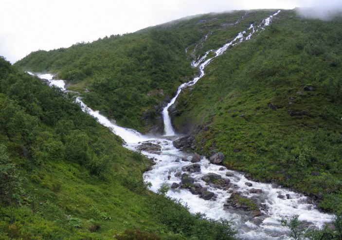
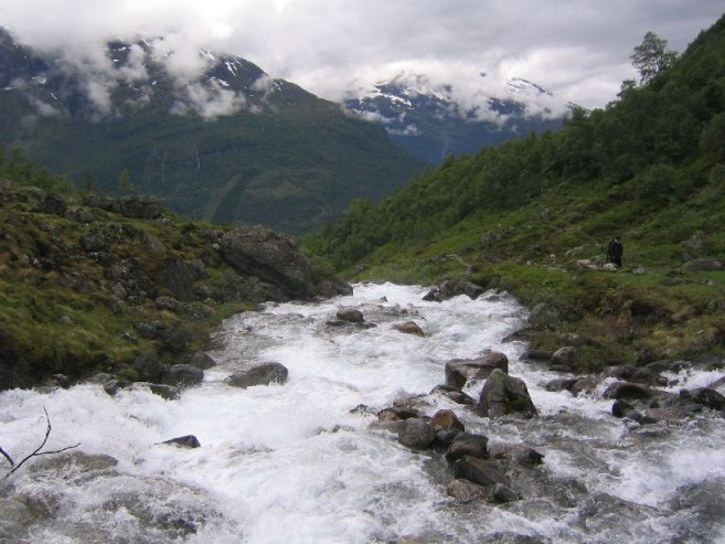
The trail ascended through a forest, and quickly we were above the treeline at probably under 1000ft. There was a powerful waterfall just off the trail that gave off a heavy mist. As we climbed the hills, we saw many sheep.
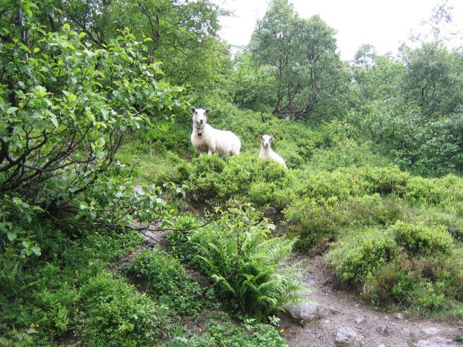
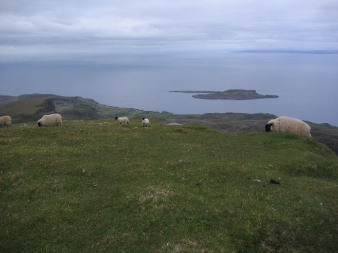 Norway Sheep:
The climb is continuous, without any flat or downhill stretches. Karl set a good, steady, pace. Soon we leave the grass and come upon rocks with snow patches. We try to stick to the rocks as much as possible, but soon the terrain becomes snow with rock patches.
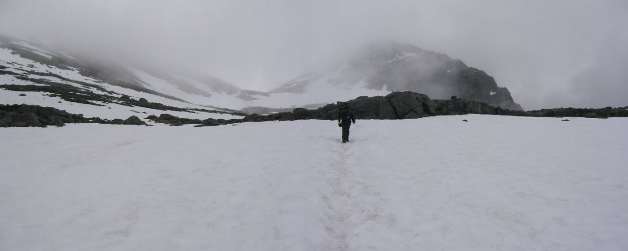
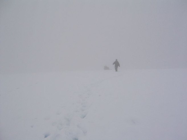
We were the first on the trail today, and needed to break a path in the snow. Feet got very wet today. Soon the cloudy skies turn even more foggy, and the rocks become fewer. At one point, leading the way up the white hill that merged with the white sky was a bit disorienting. It started sleeting a bit. Well, no hopes for a view from the top today.
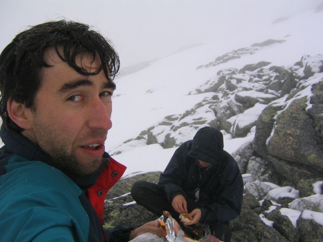
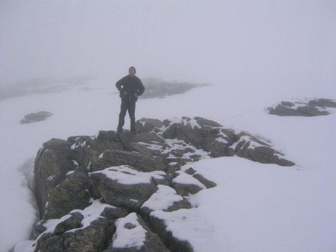
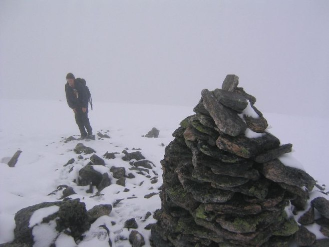
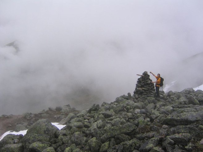
Around 1400m up, we see a man and women coming up behind, and let them pass. Then we conveniently follow their footprints up in the snow. Finally we make it to the top in 5 hours. My watch's altimeter is within 1 meter of the 1848m summit.
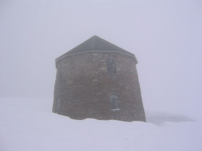
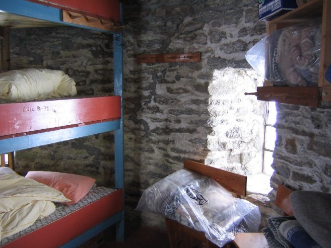
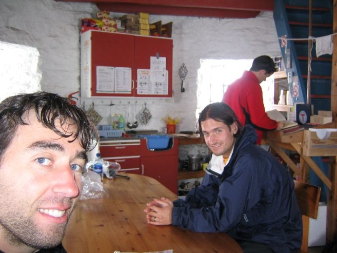
There is a hut stocked with food and beds (for a price), with walls over 1m think. Not sure how they resupply this place, but it's certainly a nice stopping point. Oddly enough it's colder inside the hut than outside (4 degrees C vs 5-6 degrees outside). We eat inside and wring our socks. We try to dry our feet, but just end up putting on wet socks and shoes for our descent.
We head back down at 3:00pm, and run into a large group of people coming up. The hut will be crowded soon. There are many tracks in the snow now.
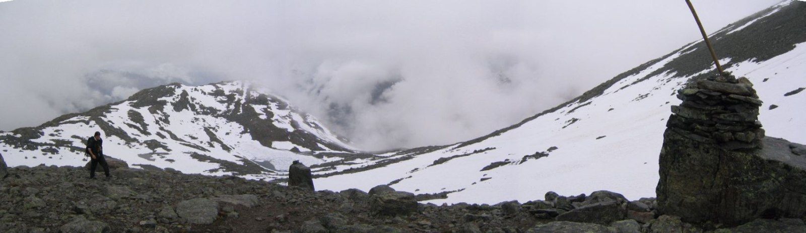
Rather than work down the rocks, we find it much easier to run down the snowy slopes. It's like flying. Leap 6 feet, sink in another 1-2 feet, and just lean back and pump your legs. The snow was in perfect condition (according Karl, an experienced winter hiker).
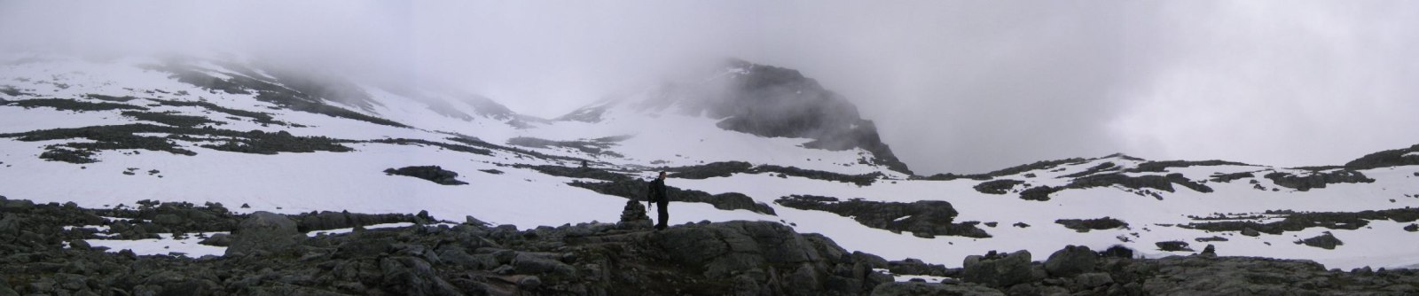
It was clearing up a little as we descended, and we saw better views on the way down that on the way up. A small patch of blue sky appeared briefly. Maybe the late arrivals will get a glimpse of the 6000ft view.
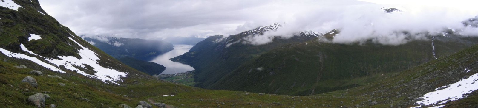
Made it down to the car in just 2 hours! 5 hours up, 2 down. Glad to have the experienced Karl with me for this hike, cause I certainly would not have pursued it to the top by myself.
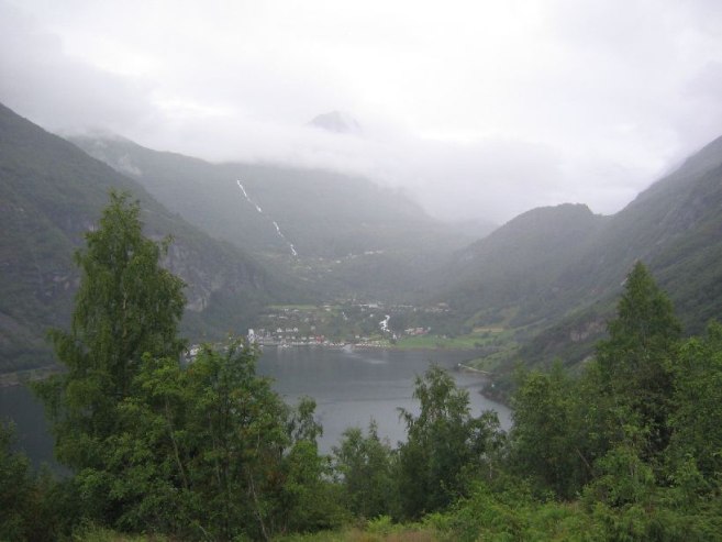
Next we drove back to Geirangerfjord hoping for a good view this time. We were driving on roads for the 4th time now, as we had done a lot of back and forth driving in the rain yesterday, and now with some blue sky peeping through the clouds, we could admire the beautiful scenery on the road.
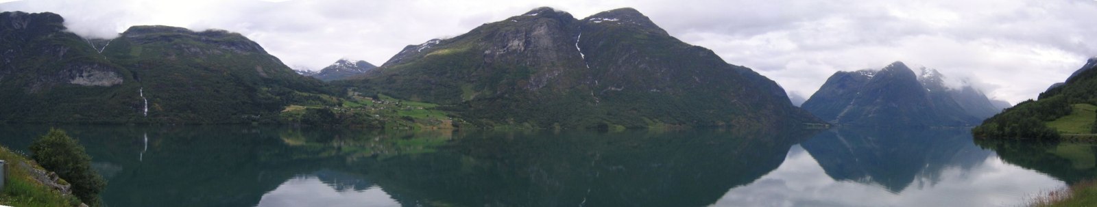
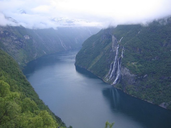
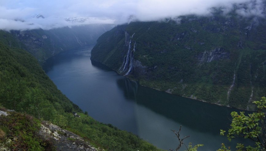
There was some blue sky behind us as we came to Geiranger, but rain and clouds were found in the fjord. We waited at a lookout point, and ate, ~7:00pm. Eventually it clears a good amount, and we try for a hike along the side of the Geirangerfjord.
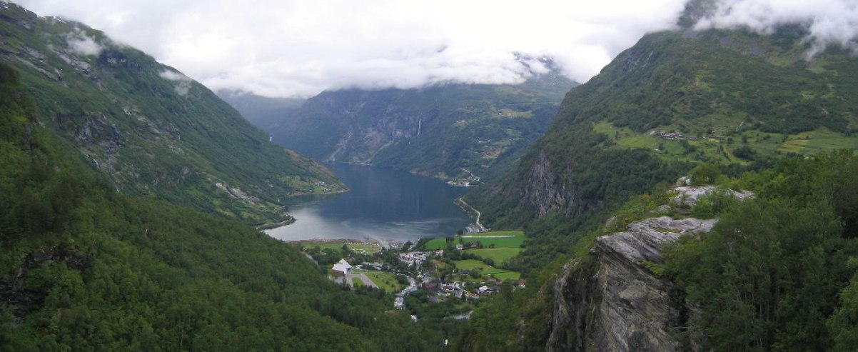
I was expecting a short walk, and we didn't take any water, but it turned out rather long. Rocks were slippery, and a woman had broken her ankle and was awaiting an ambulance. We hiked 40 minutes, but views were seldom and we kept gaining altitude. I knew there was a lookout point for the "seven sister's" waterfall somewhere on the trail. We kept pushing.
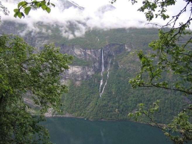
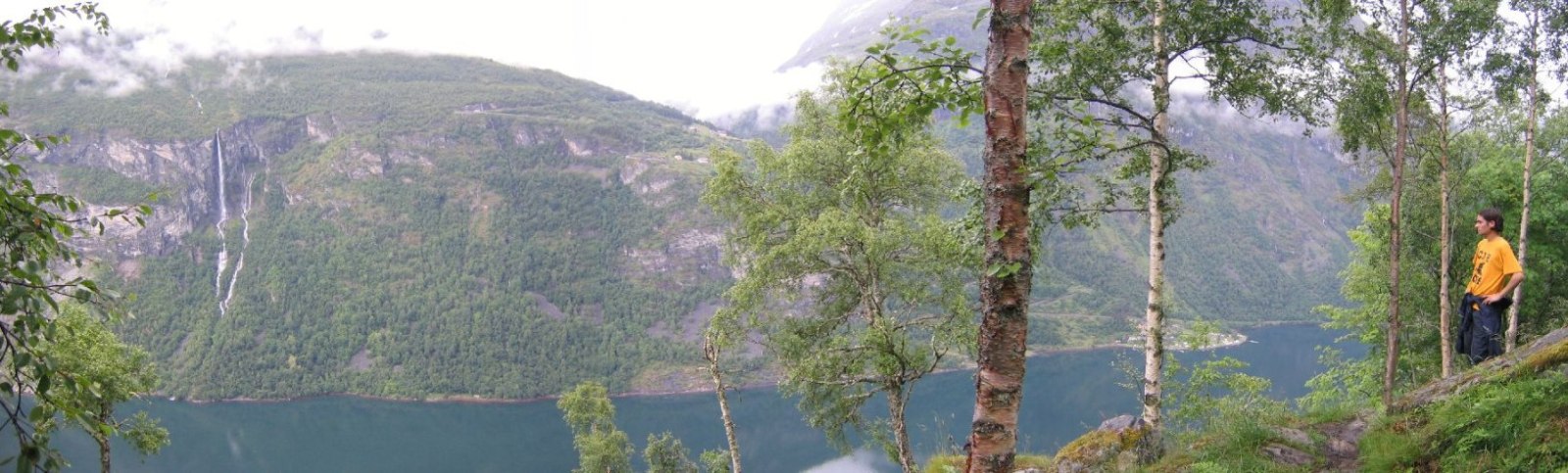
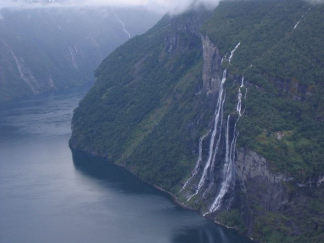
After 60 minutes, Karl was ready to turn back, but I ran ahead a little first, and saw a sign that said 300m til the lookout. Went back to Karl, and we decided to continue, now that we had a goal in sight. We arrived at the view to see the waterfall with seven fingers, and the beautiful, narrow, fjord with steep cliffs. Gorgeous! There was a house half way up the cliff next to the waterfalls , which we couldn't figure out how people get to.
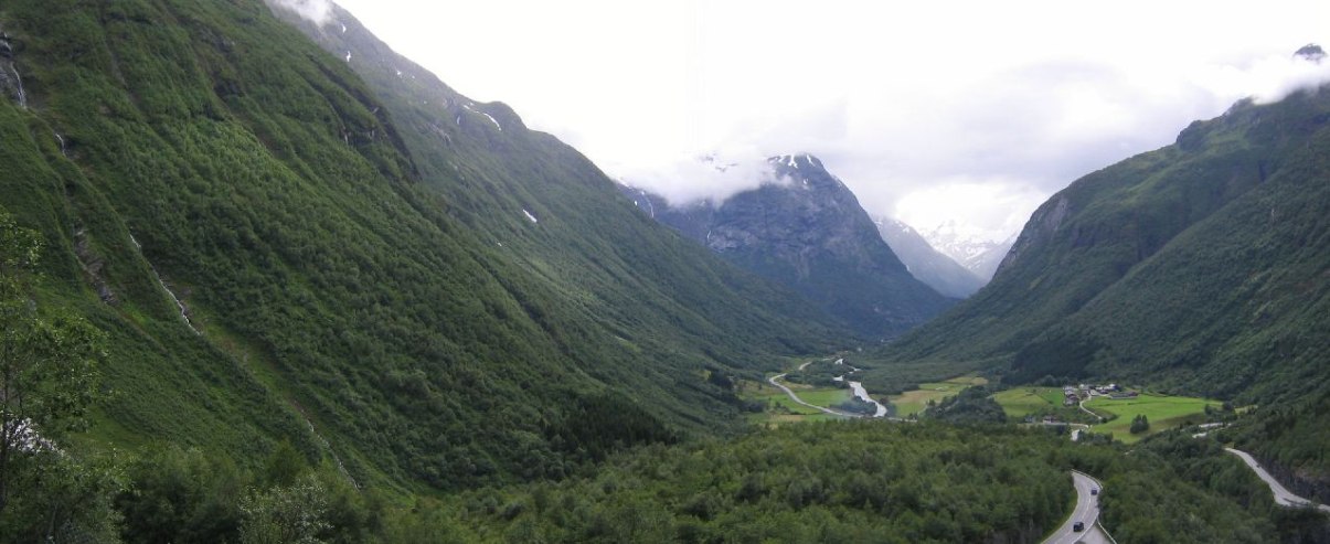
After this ~1750ft climb, we headed back, and arrived at the car at 10:10pm. On the way out of town, we stopped at the lookout spot where we ate, and took a few pics of the fjord. Then we drove back to Lom (for the 3rd time for me), and then toward Gjendesheim for the last hike tomorrow. Found a camping place on the side of the road ~30km from Gjendesheim.
We'll hike the Bessegen ridge tomorrow. Skies were clear here tonight, though starting to get cloudy now. Hopefully we'll get some clear weather for the final hike. Looks like I've got enough pics left, and food.
Daily Totals:
Distance Driven: 232km (145 mi)
Elevation hiked: 7690ft (5905ft Skala, 1785ft Geirangerfjord)