Lincoln (5,089') - Lafayette (5,260'), White Mountains, NH, June 22nd, 2008
An opportunity to return to the White Mountains of NH arose when I traveled to Boston for work related puroses last week. Having lived near Worcester, MA for 6 years before moving to Fort Collins, CO, I spent my last 1.5 years in MA hiking frequently in the White Mountains. A couple of my buddies from MA were interested in joining me on a hike Sunday, and we choose the classic Lincoln - Lafayette Franconian Ridge loop hike (9 miles, ~3500' gain). The weather forecast was dismal (70% of rain in the afternoon), but since it was the only day available to hike, we planned to make the trip anyway and hope for the best.
Harish and I left sunny Harvard Square ~6:15am, and quickly entered the fog and clouds as we traveled northwest to pick up Ilan in Littleton, MA. From there it took ~2hrs to reach the Franconia Notch, where the overcast skies appeared to be benevolent, yielding clear views of the peaks. We started the hike shortly after 9am, and begain the ascent up Falling Waters Trail up to Little Haystack, the entry point of the Franconian Ridge.
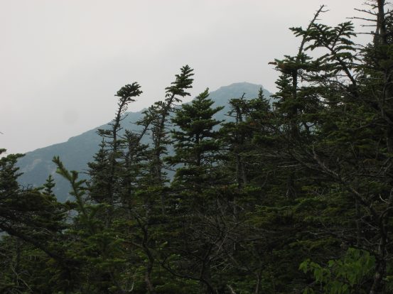
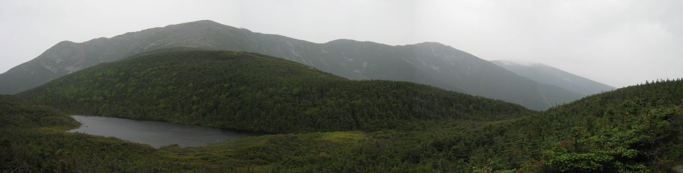
We saw the appropriately name Indian Head mountain at a stop for snacks just before reaching the trailhead. A view of Flume, Liberty, Lincoln, Lafayette along the ridge from right (closest) to left. We'd be summiting the further peaks in the distance....
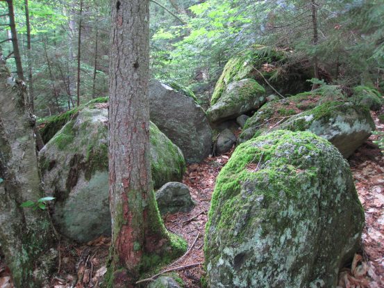
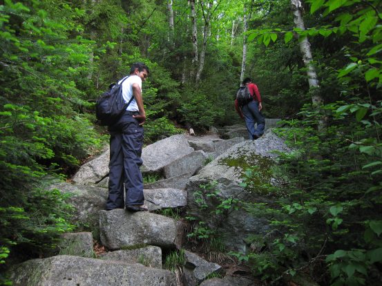
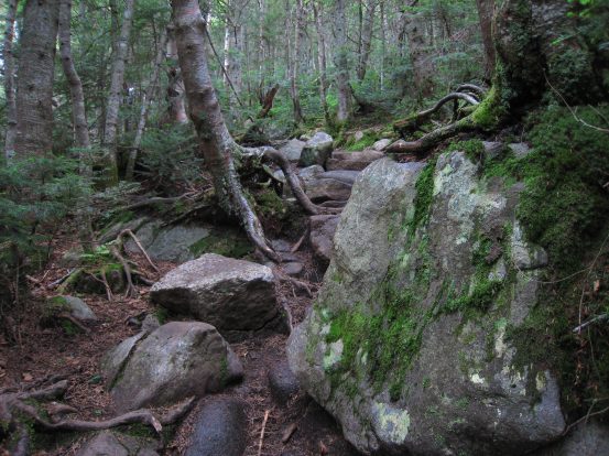
The trailhead for this loop hike starts at 1780'. We'll take the Falling Waters Trail on the way up, and the Old Bridle Path trail on the way back. Plenty of green moss covered the rocks lining the trail...
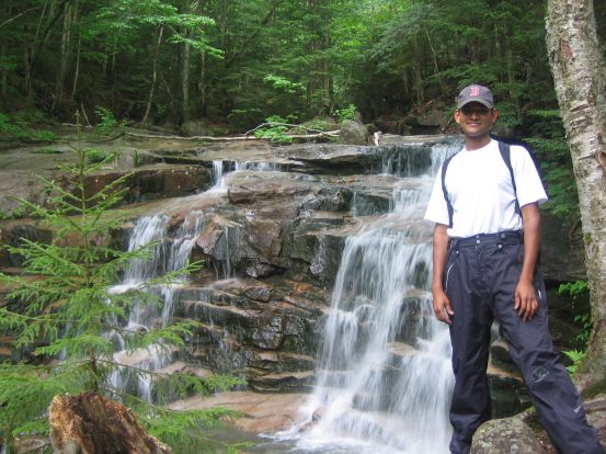
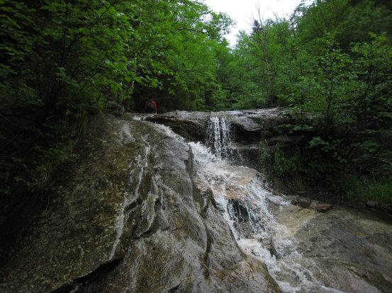
Harish stands next to the first of many waterfalls along the trail. This trail is very pretty and pleasant, aside from occasional wet rock...

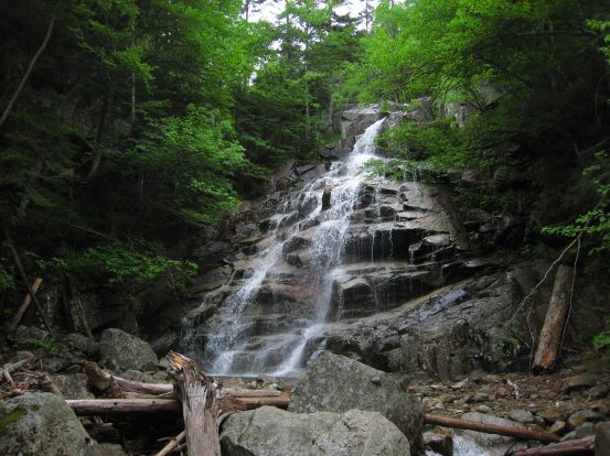
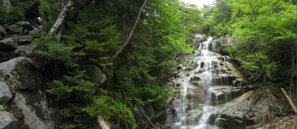
The green decidious leaves, and felty moss is a big contrast to the dry dirt and rocky Colorado trails. The big waterfall of the hike emerged about an hour in...
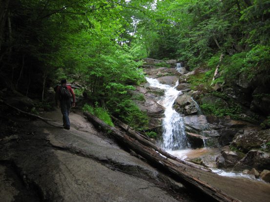
The trail rises along the left, until we reach the stream at the top of the waterfall...
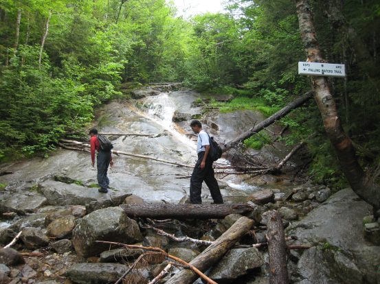
The wet rock made things slippery at times, and we were glad we wouldn't be going down this slick path on the way back. We crossed the stream several times on the way up...
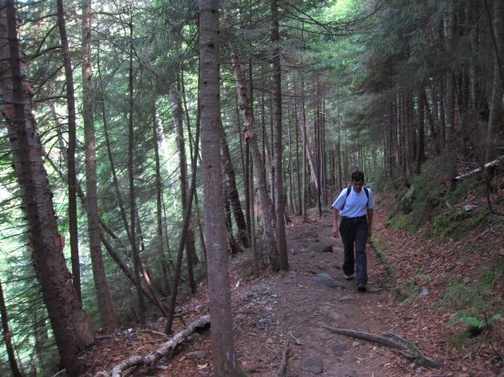
NH trails are wonderfully free of loose rock. The path is mainly easy dirt (watch out for roots), or step fashioned rocks. And always green...
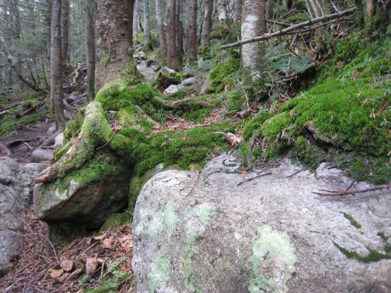
More of the impressive moss growing over the base of the trees. Reminded me a little of the moss in Patagonia's old forests...
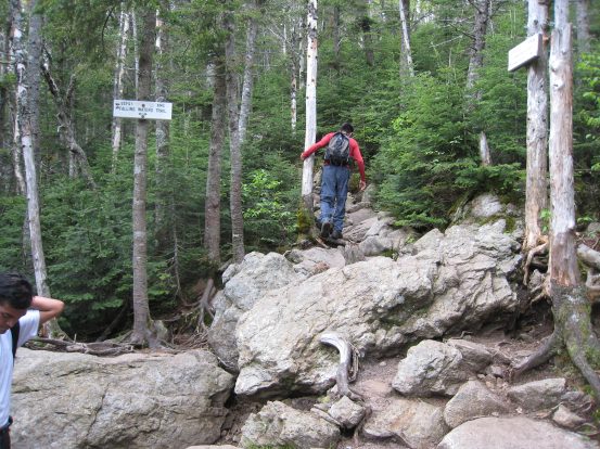
Our pace was quick, and we approached the alpine zone 3 miles into the hike, with ~3000' gain in just over 2 hours.
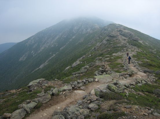
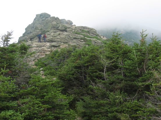
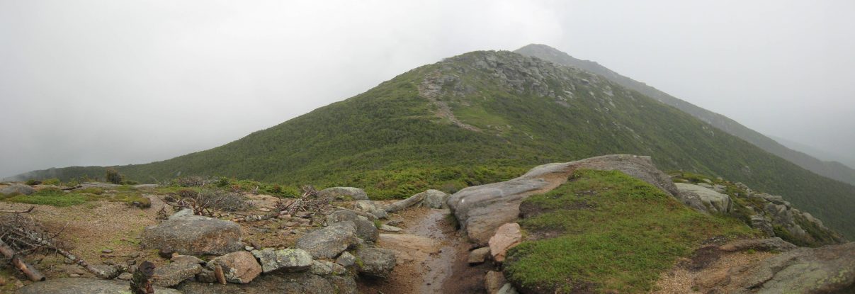
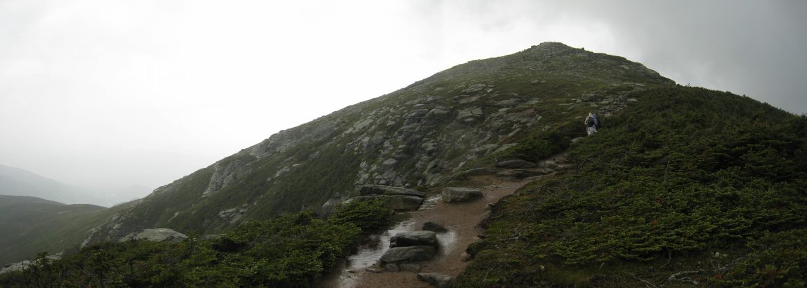
As we approached Little Haystack, at the crest of the ridge, we could see Lincoln further out. We rested at Little Haystack, and admired the cloud limited views...
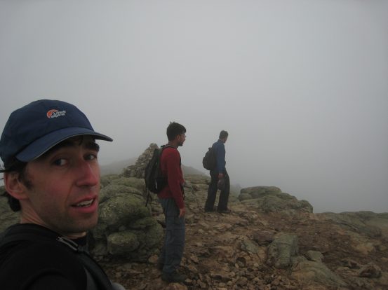
There were very few people out on the trail today, probably due to the 70% chance of rain in the forecast. We were hoping to finish the hike before the afternoon rain. The peak of Lincoln is shrouded in cloud. Beyond Lincoln lies Lafayette, whose arm in the left of the pic we'd be hiking back down on...
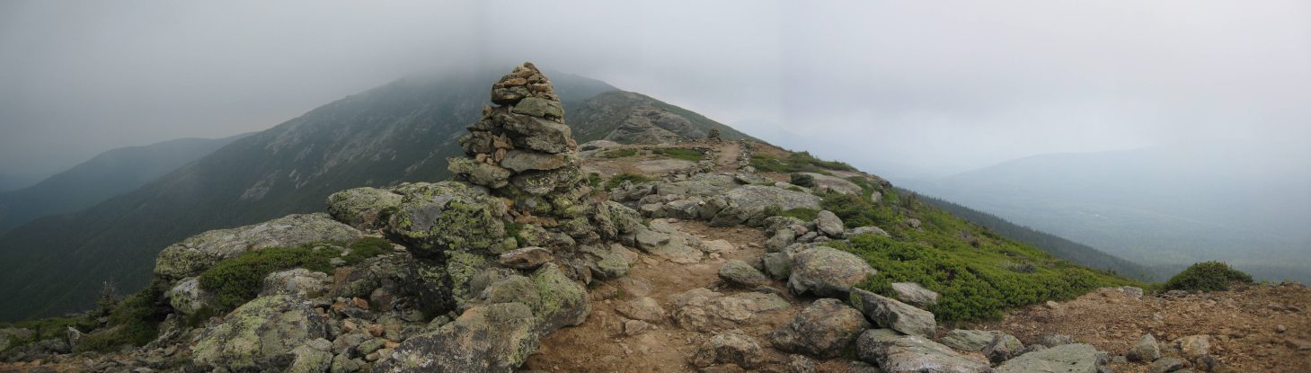
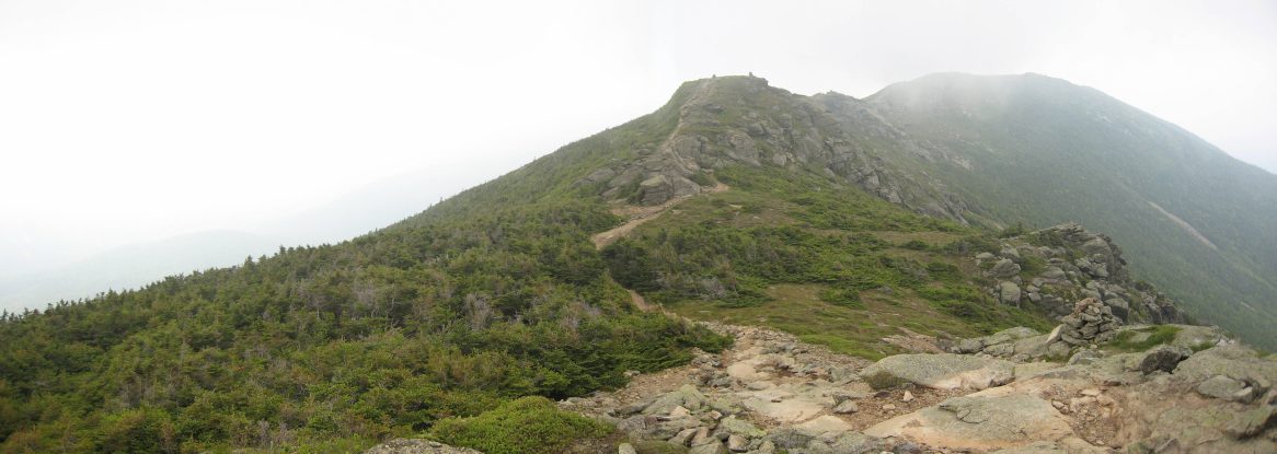
The trail along the broad ridge is primo quality. Almost feels like a road that should exist along the Great Wall of China, or the mountains of Gondor...
This was my 4th time along this stretch of the ridge, and I didn't mind the clouds, as I'd seen the blue sky version before, and the fog presented a more "mistifying" experience...
This hike is certainly a classic. The Presidential Range in NH has a lot of trail above treeline, but it's mostly boulders. This hike along the Franconian Ridge is so pleasant and gentle and scenic...
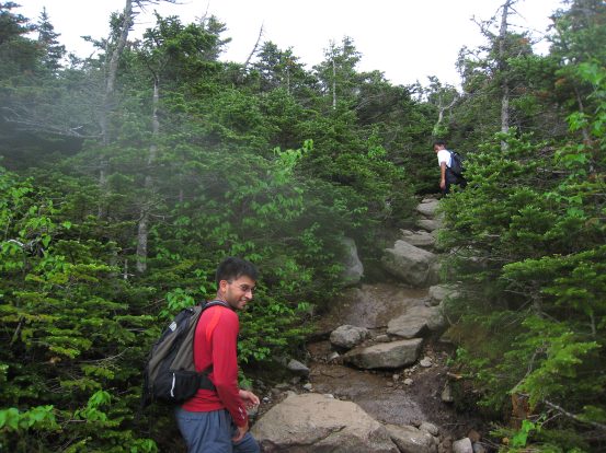
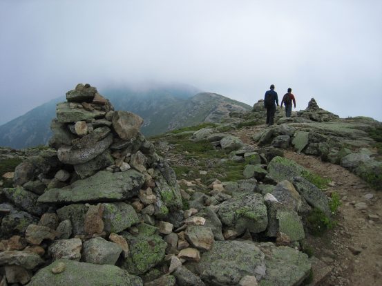
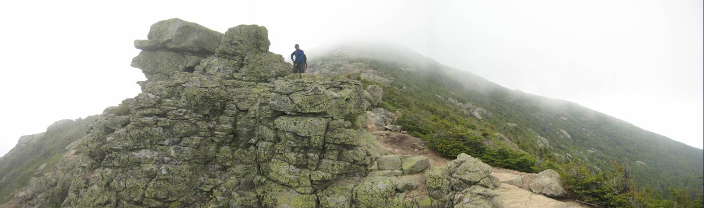
Harish and Ilan approach a couple different rock outcroppings along the ridge...
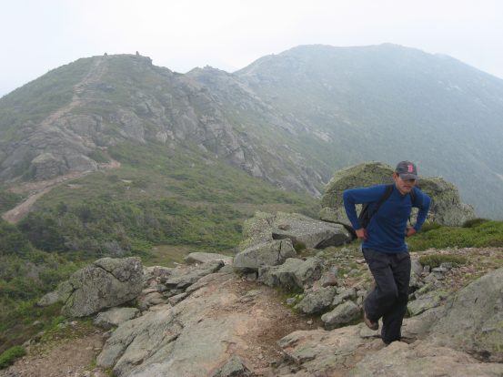
A look back along the ridge, with Harish making his way up...
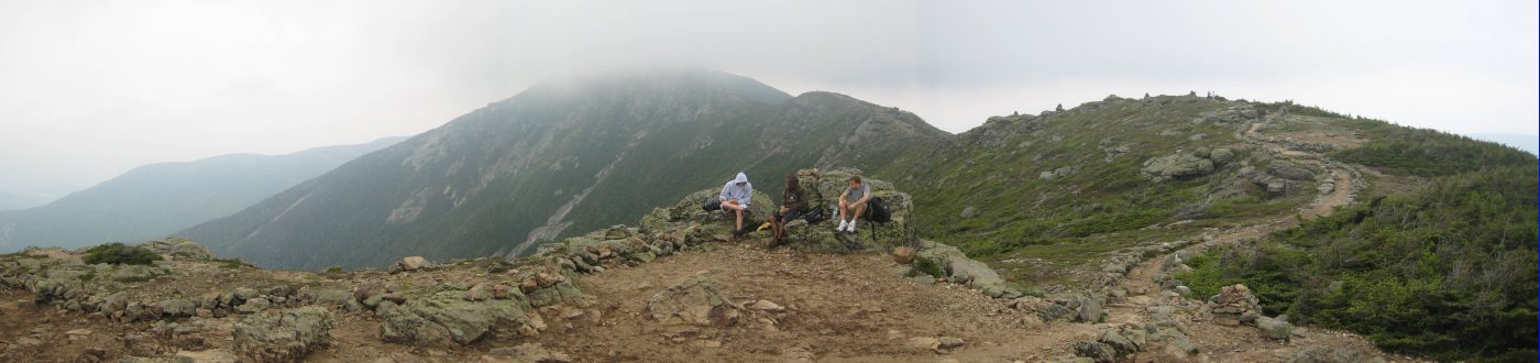
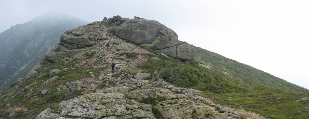
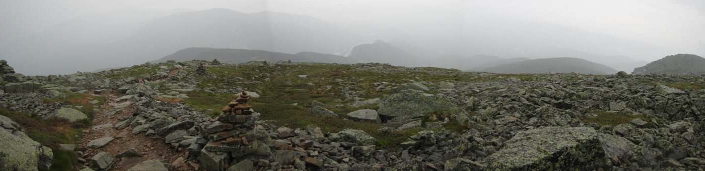
A wider look back, with Little Haystack on the right side of the ridge. I was a little disappointed that I could see out over the Pemigewassit Wilderness to admire the path of the 33.5 mile Pemi-Loop hike I did back in 2004, that covered ten 4000'+ peaks...
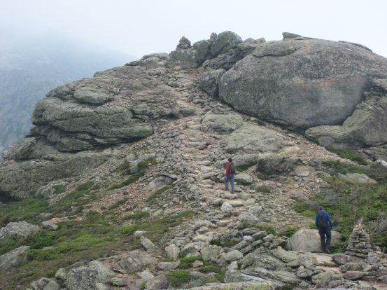
Some more rocks as we neared the cloudy summit of Lincoln. This gentle approach was nothing like the steep ascents up recent C0 peaks I'd done earlier in the month. The lower elevation was nice on the lungs too...
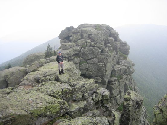
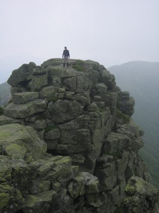
Harish took some pics of me on some rocks that reminded him of ruined Orc towers at the fall of Isengard (The Two Towers)...
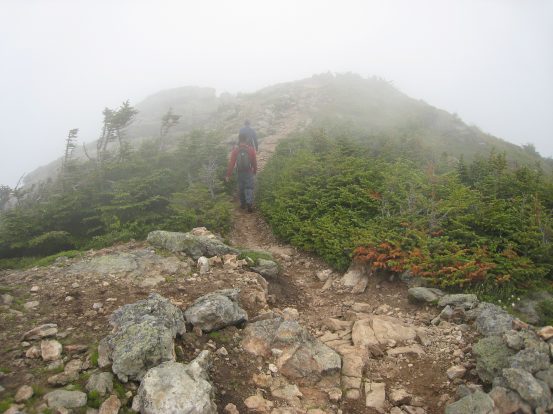
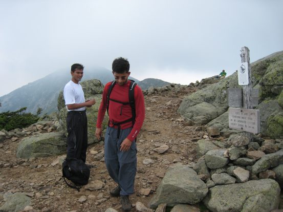
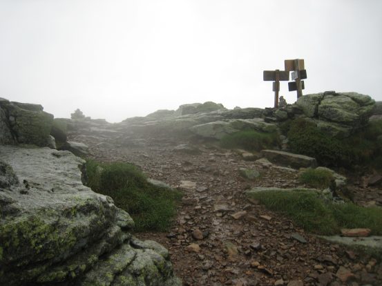
We made it to Lincoln at 11:45am, 2hr 40min from our start. The summit was clouded over, and as we started the descent down towards Lafayette, we heard some rumbling in the skies coming from the southwest. The ridge ahead dipped and rose as the clouds settled in around us...
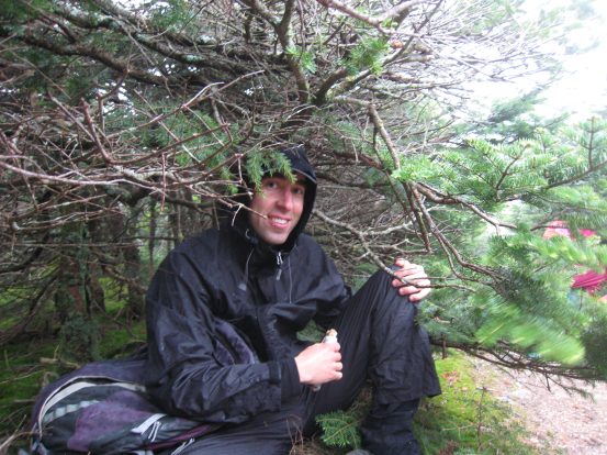
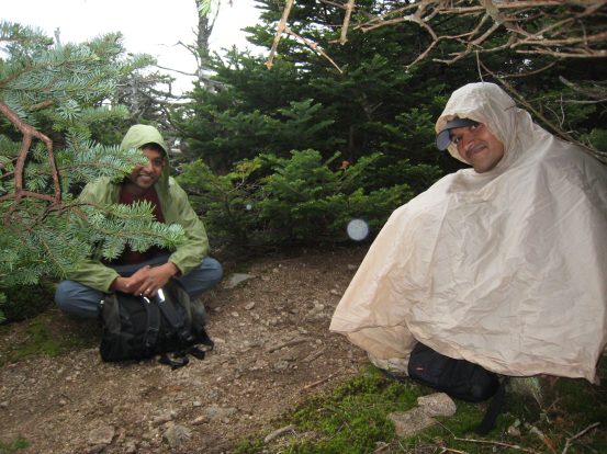
The thunder was getting quite violent, and we were stuck on the ridge! Fortunately we reached a dip where some low trees and bushes existed. We saw two other hikers nestled down off the trail here, and decided to do the same while the storm passed by (hopefully quickly). We put on our raingear, and squatted under the brush as the rain fell. We saw occasional flashes in the sky and counted til we heard the thunder. The first count was 8 seconds = ~2 miles away. Several minutes later 5 seconds. Then 4 seconds.
We waited, ate some snacks, and waited. It's not at all fun to be trapped on a ridge in the cold rain wondering if the storm will just be a few more minutes, or few more hours. After 20 minutes of waiting, we see another flash, "One, Two" -- Crash!. We continue our wait. I remember thinking how nice it would be if I could just instantly be back at the bottom. But we had to either back track across the ridge, or keep going til Lafayette, before heading down. On the descent from Lafayette, it'd be another mile before we'd reach treeline.
After another few minutes, we were discussing what to do, and there was a flash, "One..." - Crash!. Ok, that must have been somewhere on the ridge maybe. We stayed put. Finally after over 30 minutes of waiting, the sky seemed more clear, and the rumbles were more distant and to the east. We peaked out, and could see the top of Lafayette, and decided we better get moving while there was a break in the weather. So we hurried on, unsure exactly how much further til Lafayette. Fortunately we were close by, and after passing one more "bump" in the ridge we saw Lafayette within reach ahead. But when I turned around, I saw the ridge disappearing behind thick cloud very quickly. Time to get moving. Not so distant rumbling could be heard to the south...
We huddle under the brush for over 30 minutes, waiting for the thunder to pass. There was plenty of time to reflect on how not fun it is to be on a ridge in the rain and thunder. Word to the wise, weather reports are pretty accurate, and 70% chance of rain in the afternoon means it's gonna rain. Today it meant at 12:15pm...
After there was a brief pause in the storm, we headed off to Lafayette. Here is a look back at Lincoln, now clear, and at the area of trees where we stopped in the dip on the ridge...
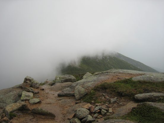
About a minute later, this was the view looking behind towards Lincoln...
However, to the north, Lafayette was still clear, for the present. But a grey cloud was closing in fast from the east. We had to reach the top, and then descend down the west side. We could hear thunder from the southeast...
I sped up to Lafayette, took a pick at the summit, and quickly began the descent, eager to avoid being the highest thing in the area...
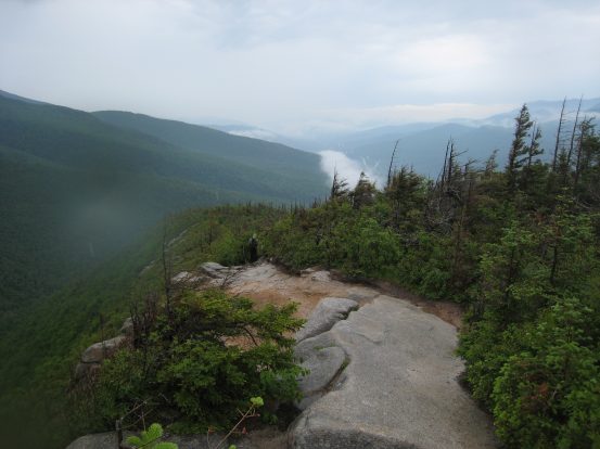
A look down the mountain towards Franconia Notch. The trail was again very pleasant with stable rocky and easy switch backs...
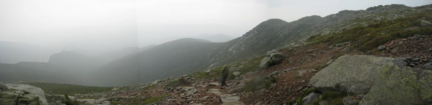
A look to the north, where the Franconian Ridge continues on towards Garfield...
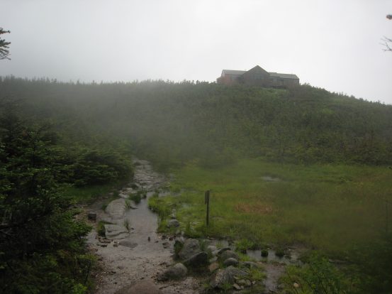
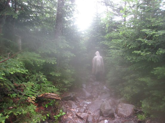
After 1000' of descent, I finally hit the tree line and see Greenleaf Hut ahead. When I reached the hut, I saw Ilan and Harish descending down the mountain into the forest where the fog is...
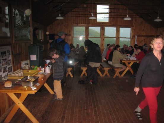
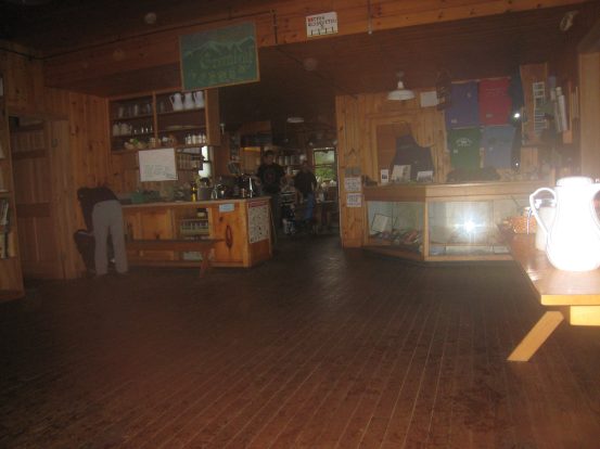
Inside Greenleaf Hut, many people were gathered at the tables eating, talking, or playing games. It was a good day to be inside. There were hot drinks, soup, and baked goods available for cheap prices, and a huge bin of leftover pancakes for free...
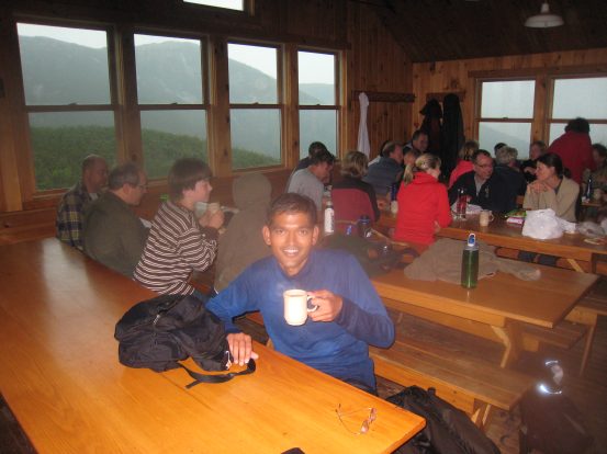
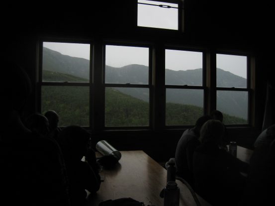
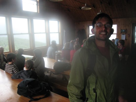
Harish sips a hot drink. The views out the window of the Franconian Ridge were excellent...
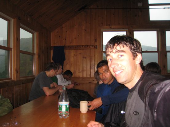
This hut reminded me very much of being in a Torres del Paine refugio in Chile, with the added benefit of free pancakes (I think I ate about 10 of them)...
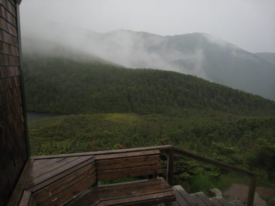
A look from the porch of the hut, at Lafayette above the lake, and Lincoln on the ridge to the right...
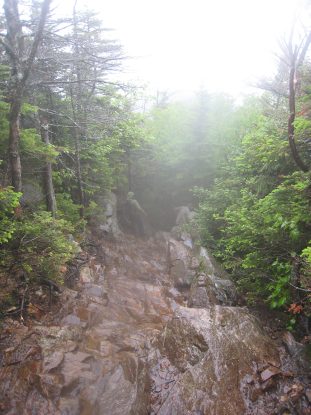
It was 2.9 miles back to the parking lot. The initial descent from the hut was on wet, but surprisingly well tractioned (rough, gritty) rock...
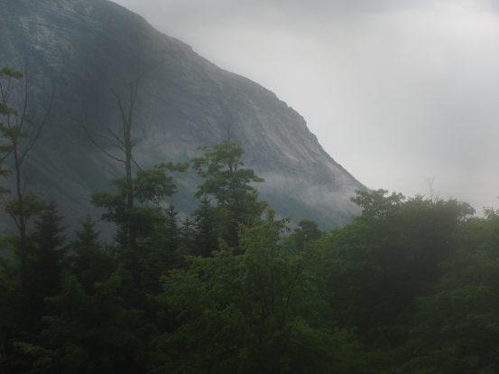
The rain stopped, and the ridge line became more crisp as the storm had moved on. A stream of fog resided at the bottom of the valley...
Eventually the trail leveled off into a gentle smooth dirt trail. Ilan had told his wife that he'd call her by 3pm, and so we all ran the last portions of the trail, covering the last mile in ~15 minutes, arriving back at the trailhead at 3:02pm.
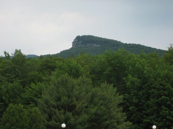
A look at where the famous NH "Man in the Mountain" used to reside before the profile of rock collapsed in 2003. Too bad I didn't start hiking here until 2004, and never got a chance to see it...
The drive back to MA was cloudy and rainy. After stopping at Burger King in Concord, NH, I zonked out, weary from recent travels, and thankful for Harish's driving. My return to the White Mountains wasn't exactly the warm nostalgic visit I was hoping for, given the weather, but it was a unique and entertaining adventure nonetheless.
Back to main hiking page